
CountiesSan Luis Obispo County
CaliforniaReservoirSan Luis Obispo County
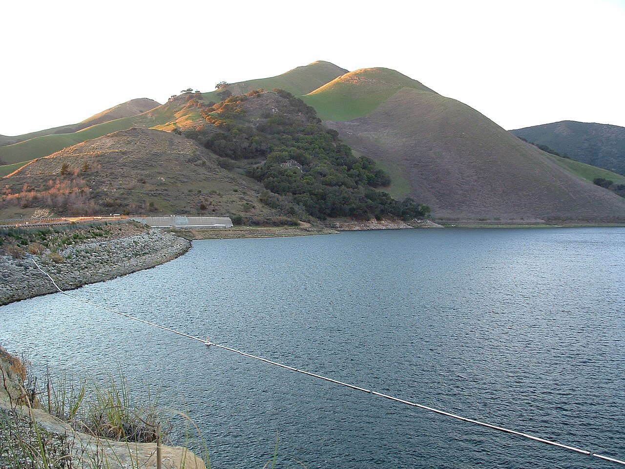
Lopez Lake
Lopez Lake is a 974-acre reservoir on the Arroyo Grande Creek in California. Its shoreline falls inside San Luis Obispo County. Management is in the hands of San Luis Obispo County Parks.
Coordinates35.1926, -120.4732
Surface area974 acres
RiverArroyo Grande Creek
Managed bySan Luis Obispo County Parks
Swimming beaches on Lopez Lake
No named swimming beach is mapped yet for this lake. Access is through agency day-use areas and boat ramps listed below. We add beach pages only when we can confirm a name, coordinates and an operating agency.
Lopez Lake on the map
Lake center, swimming spots and access points.
Weather and water temperature
Air temperature and wind from Open-Meteo. Water temperature only when the lake has a public sensor.
Weather data by Open-Meteo
Lopez Lake in California
The center of the lake is at 35.1926, -120.4732. The surface sits around 558 feet above sea level. The Arroyo Grande Creek carries the outflow.
The closest lakes in this guide are Lake Nacimiento (California, 47 mi), Lake Cachuma (California, 50 mi) and Lake San Antonio (California, 53 mi). In all, 86 lakes in California are covered here.
Public datasets record no beach at Lopez Lake, so treat any shoreline access as unmarked and unsupervised. Absence from these datasets does not mean the water is closed, only that no agency lists a beach. The nearest mapped swimming spot is Refugio Beach on Lake Cachuma, roughly 55 miles away.
This page shows no water level for Lopez Lake because no agency publishes one that can be read automatically. Where an agency publishes a figure, we show it with the time it was taken; here there is none.
Freshwater advisories are issued locally, so check the state health department before you swim. Swimming season in California runs through the warm months, and day-use areas set their own opening dates. There is no water temperature sensor here, so only air conditions are shown.
Questions about Lopez Lake
Is there a beach at Lopez Lake?
No named swimming beach appears in the federal and state datasets this guide reads. Check the operating agency for day-use areas on the ground.
How big is Lopez Lake?
About 974 acres.
What other lakes are near Lopez Lake?
The closest in this guide is Lake Nacimiento, about 47 miles away in California.
Lakes near Lopez Lake
Other lakes in this guide, ordered by distance.
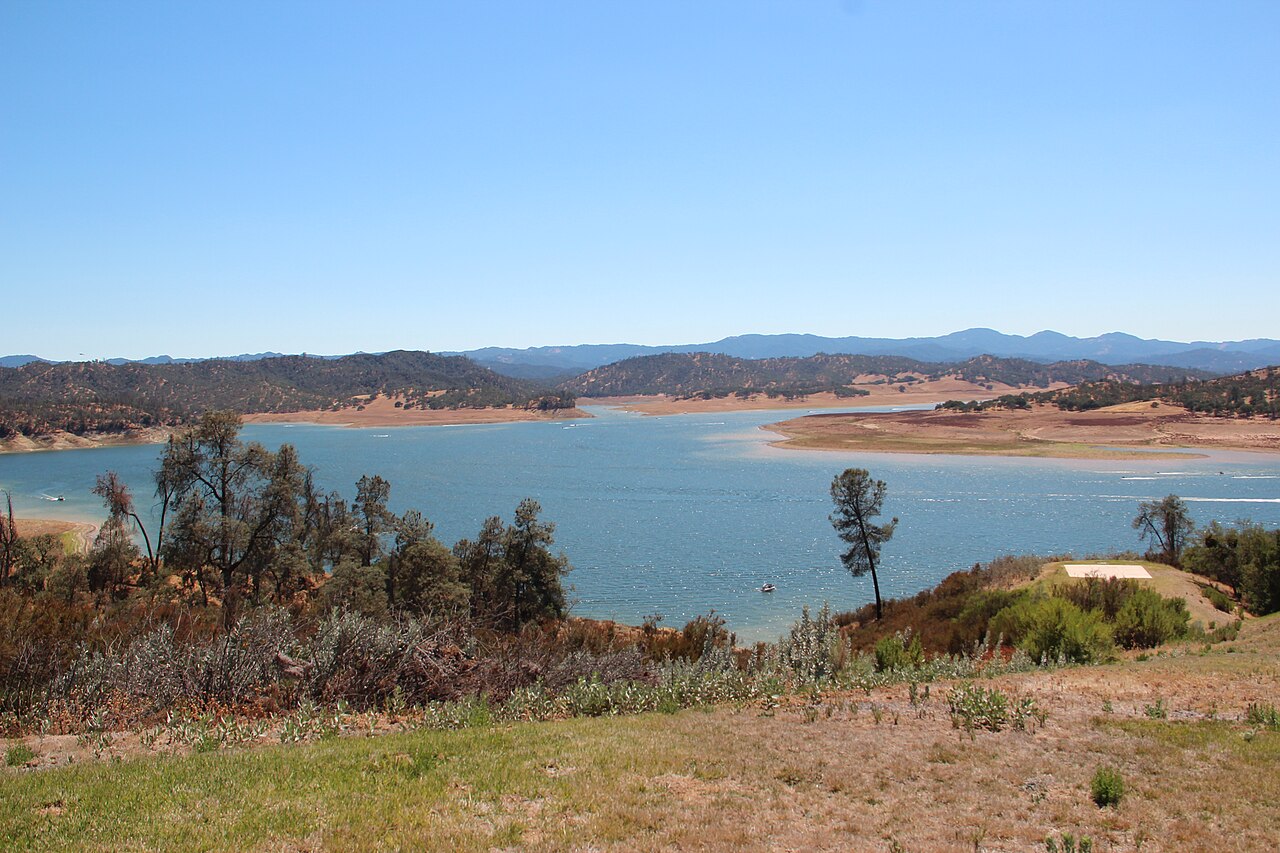
Lake Nacimiento
Fed by the Nacimiento River, Lake Nacimiento holds roughly 5,400 acres of water in California. The lake is in San Luis Obispo…
Reservoir
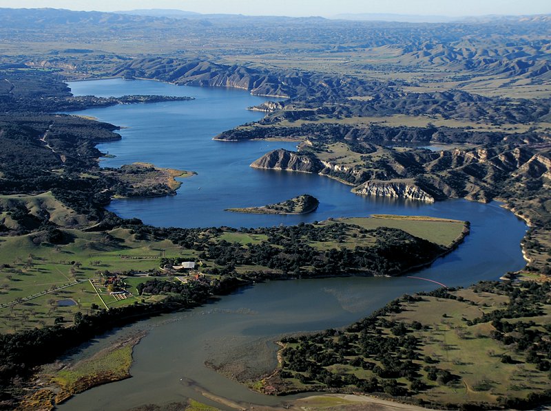
Lake Cachuma
Lake Cachuma covers about 3,100 acres of the Santa Ynez River in California. It lies in Santa Barbara County. Management is in…
Reservoir3 beaches
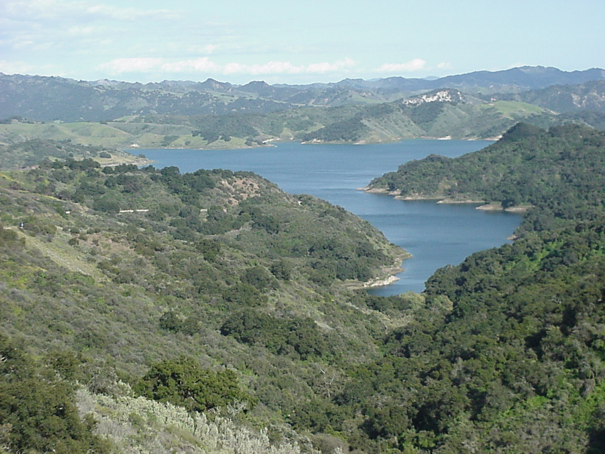
Lake Casitas
Lake Casitas covers about 1,100 acres of the Coyote Creek in California. Its shoreline falls inside Ventura County. It is managed…
Reservoir2 beaches
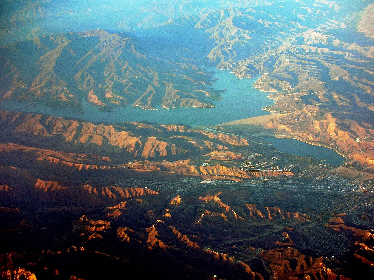
Castaic Lake
Castaic Lake is a 2,235-acre reservoir on the Castaic Creek in California. You will find it in Los Angeles County. Management is…
Reservoir
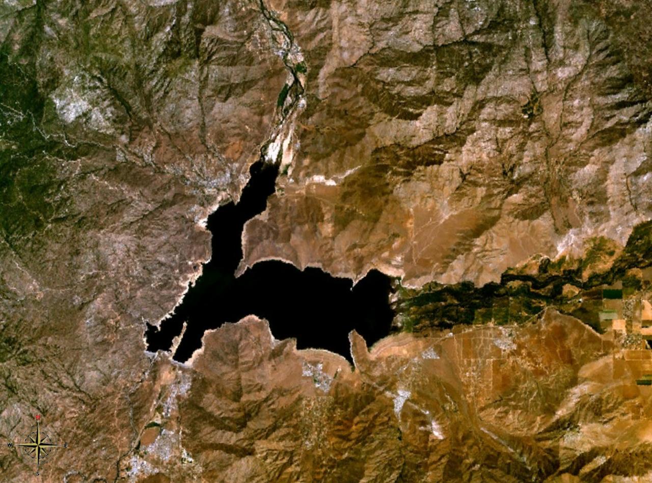
Lake Isabella
Lake Isabella is a 1,111,974-acre reservoir on the Kern River in California. Its shoreline falls inside Kern County. Management…
Reservoir1 beach
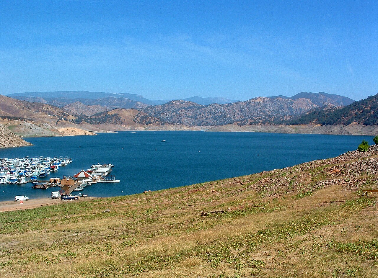
Pine Flat Lake
Pine Flat Lake is a 5,970-acre reservoir on the Kings River in California. Its shoreline falls inside Fresno County. Management…
Reservoir
Explore around California
All lakes in California Swimming spots in California Lakes near Santa Maria Lakes near Lompoc
Sources
Every figure on this page comes from one of these public sources.