
CountiesGarland County
ArkansasReservoirGarland County
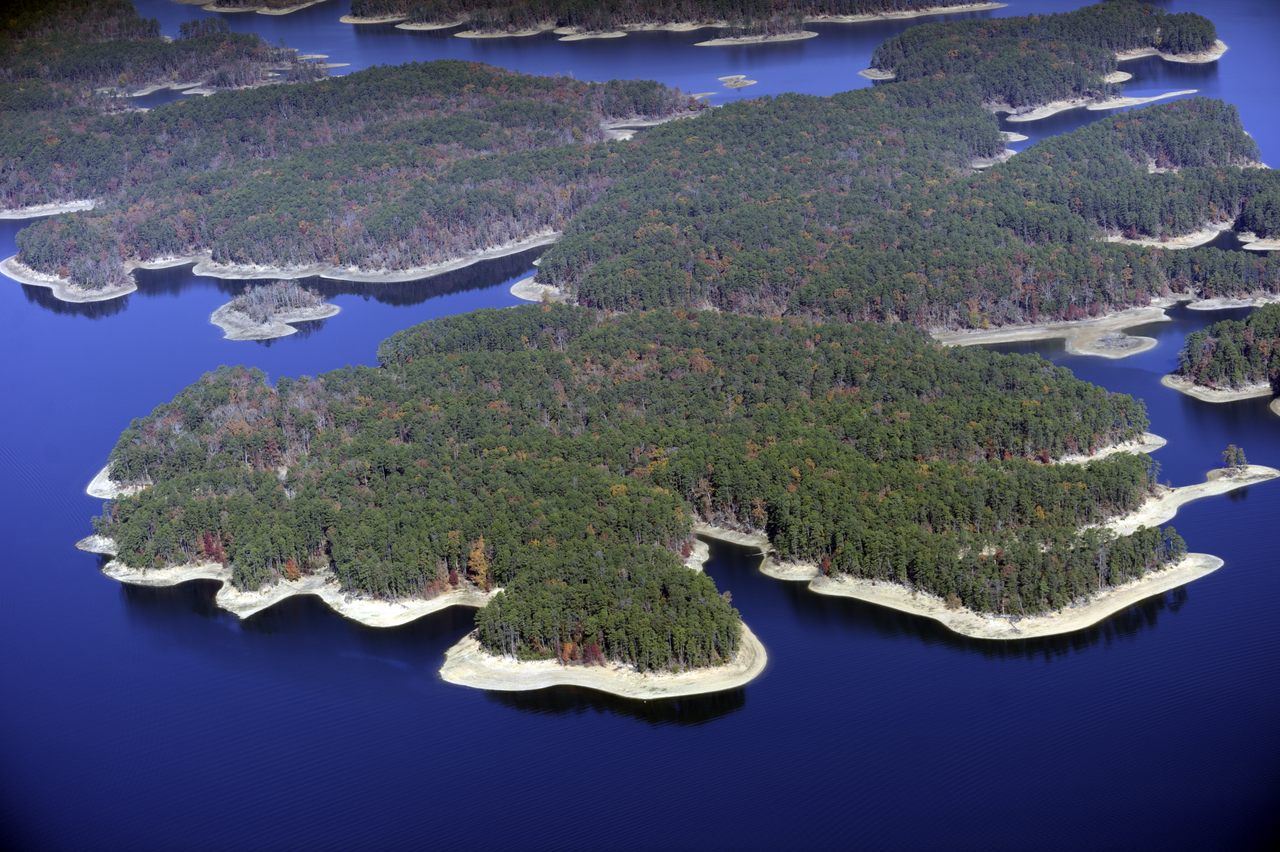
Lake Ouachita
Lake Ouachita is a 39,537-acre reservoir on the Ouachita River in Arkansas. You will find it in Garland County. Management is in the hands of USACE Vicksburg District.
Coordinates34.6000, -93.3333
Surface area39,537 acres
Max depth200 ft
RiverOuachita River
Managed byUSACE Vicksburg District
Swimming beaches on Lake Ouachita
No named swimming beach is mapped yet for this lake. Access is through agency day-use areas and boat ramps listed below. We add beach pages only when we can confirm a name, coordinates and an operating agency.
Lake Ouachita on the map
Lake center, swimming spots and access points.
Weather and water temperature
Air temperature and wind from Open-Meteo. Water temperature only when the lake has a public sensor.
Weather data by Open-Meteo
A closer look at Lake Ouachita
Its coordinates are 34.6000, -93.3333. Releases go downstream into the Ouachita River. It reaches roughly 200 feet at its deepest.
Lake Ouachita has no public water level gauge that we can read, so there is no level chart here. An invented number would be worse than none. For a lake this size, the park office is the fastest way to learn how the water sits today.
Water quality is monitored unevenly on inland lakes, so posted notices are the most reliable guide. Most Arkansas day-use areas open for the summer season and close outside it. No public sensor reports water temperature at Lake Ouachita, so the panel shows air temperature and wind.
If Lake Ouachita is busy, the nearest alternatives here are Lake Hamilton (Arkansas, 18 mi), Lake Catherine (Arkansas, 24 mi) and Nimrod Lake (Arkansas, 25 mi). Arkansas has 18 lakes on this site in total.
The shoreline of Lake Ouachita has 17 public recreation areas and 1 boat ramp in the datasets we read. Recreation areas nearby include Buckville, Rabbit Tail and Avant. Launch points include Lena Landing.. Parking is the usual limit on busy summer weekends.
Recreation areas on Lake Ouachita
17 public recreation areas mapped around the lake by the U.S. Army Corps of Engineers. Facilities vary by area; check the managing office for opening dates and fees.
Buckville Rabbit Tail Avant Brady Mountain Crystal Springs Big Fir Cedar Fourche Joplin Irons Fork Tompkins Bend Stephens-Avery Little Fir Lake Ouachita State Park Denby Point Twin Creek Washita Highway 27
Source: USACE Recreation Areas
Boat ramps and access points
Public launch points recorded around the lake. Low water can close shallow ramps, so check the level before hauling a trailer.
| Name | Operated by | Distance | Source |
|---|---|---|---|
| Lena Landing | USACE | 7.5 mi | source |
Ramp data: USACE Recreation Areas
Questions about Lake Ouachita
Is there a beach at Lake Ouachita?
No named swimming beach appears in the federal and state datasets this guide reads. Check the operating agency for day-use areas on the ground.
How big is Lake Ouachita?
About 39,537 acres. Maximum depth is around 200 feet.
What other lakes are near Lake Ouachita?
The closest in this guide is Lake Hamilton, about 18 miles away in Arkansas.
Lakes near Lake Ouachita
Other lakes in this guide, ordered by distance.
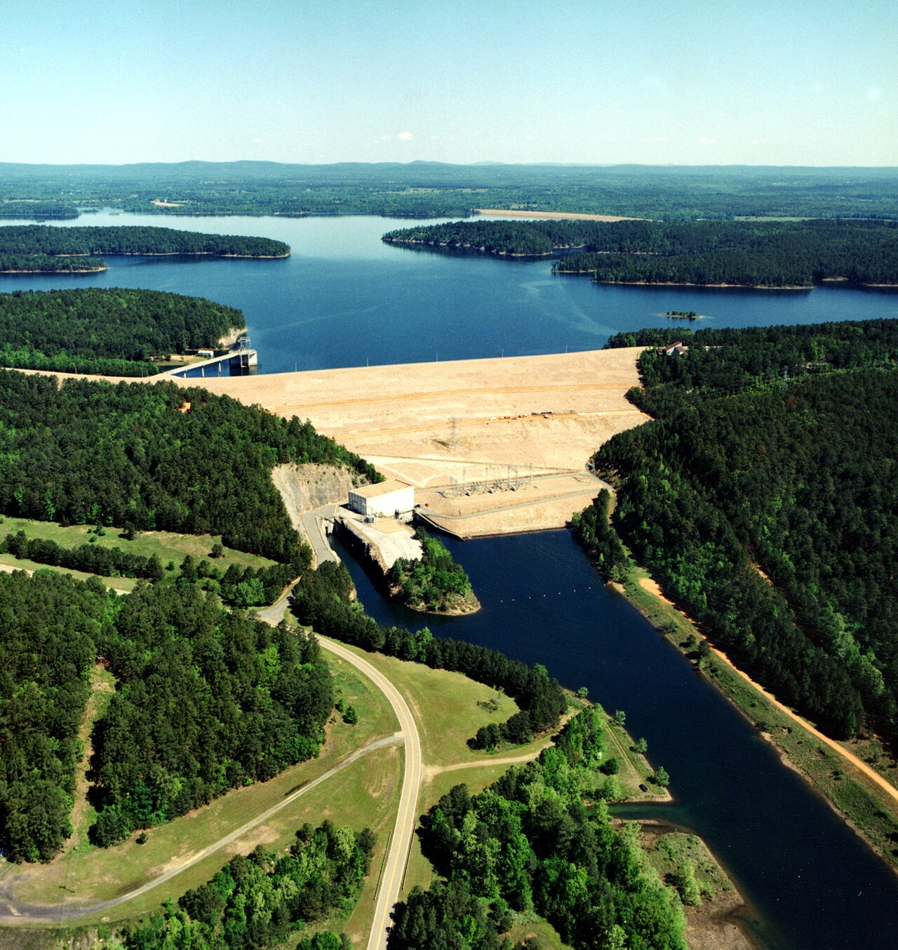
DeGray Lake
DeGray Lake covers about 13,800 acres of the Caddo River in Arkansas. Its shoreline falls inside Hot Spring County. It is managed…
Reservoir1 beach
Millwood Lake
Millwood Lake is a reservoir of some 29,200 acres on the Little River, in Arkansas. The lake is in Little River County. It is…
Reservoir
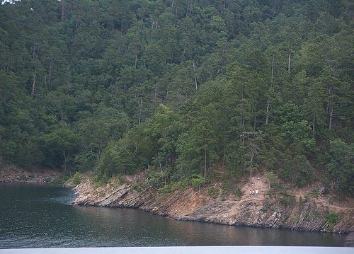
Broken Bow Lake
Broken Bow Lake covers about 14,200 acres of the Mountain Fork in Oklahoma. It lies in McCurtain County. USACE Tulsa District…
Reservoir
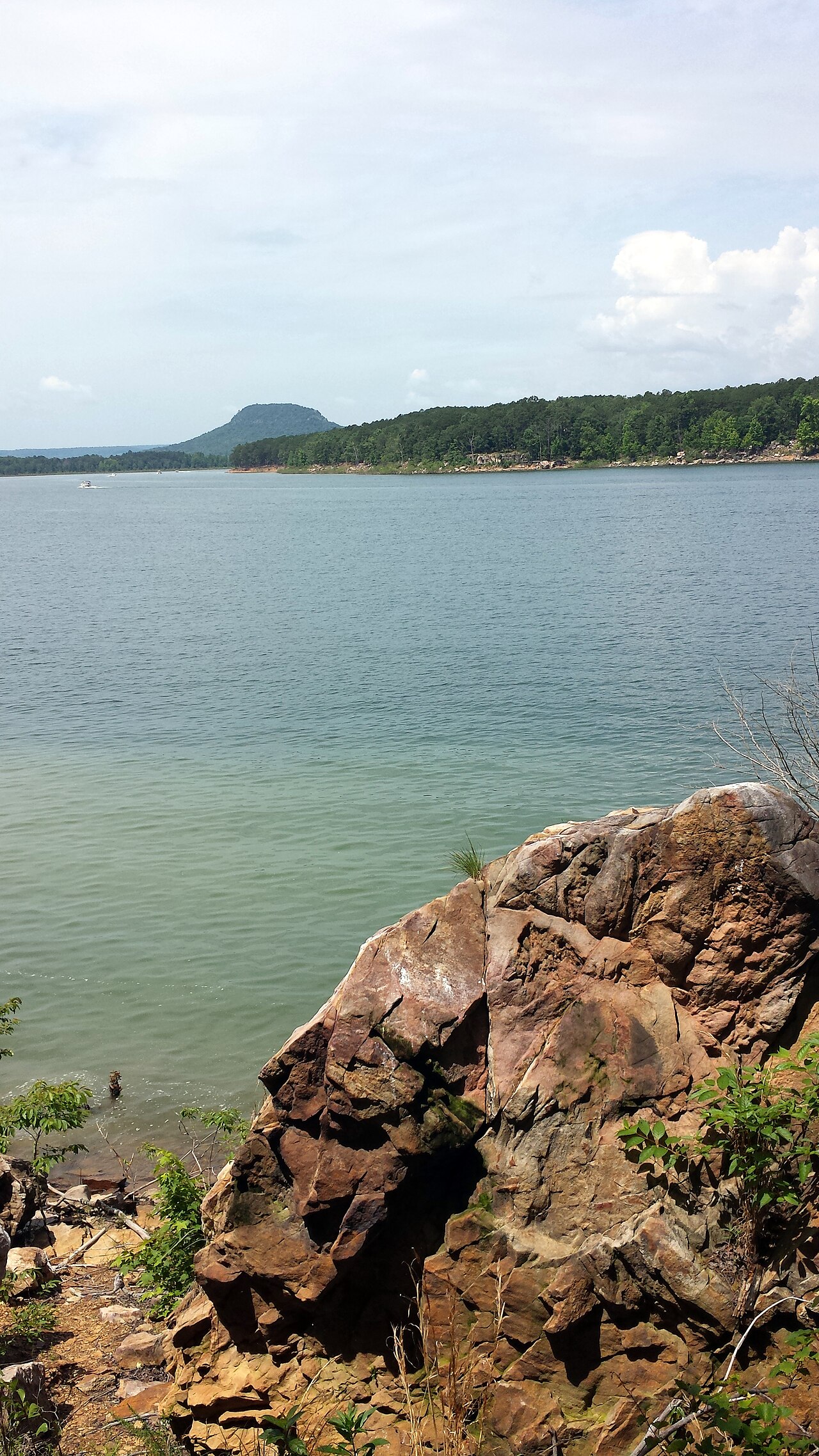
Greers Ferry Lake
Fed by the Little Red River, Greers Ferry Lake holds roughly 40,500 acres of water in Arkansas. It lies in Cleburne County. USACE…
Reservoir
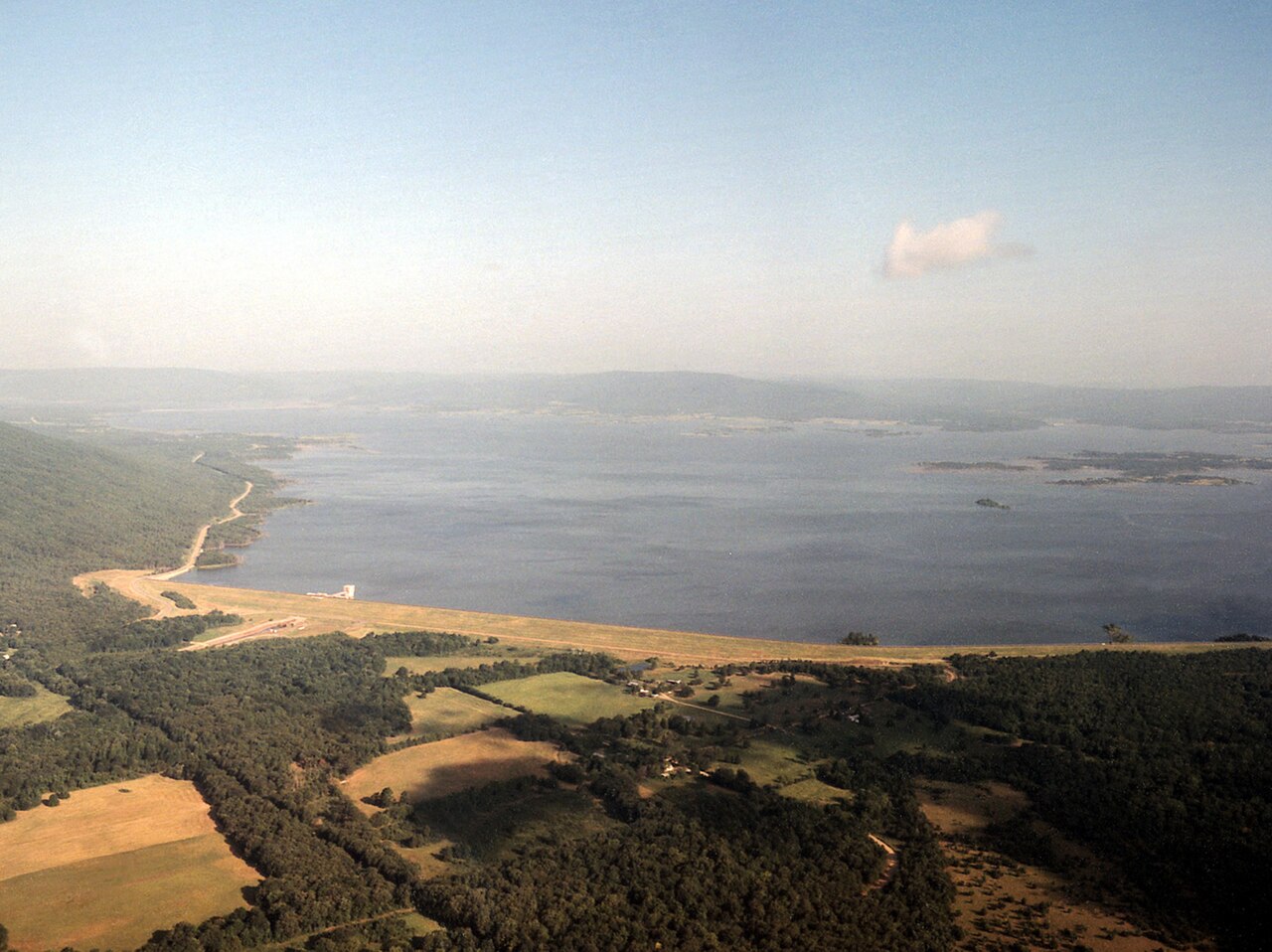
Sardis Lake
Fed by the Little Tallahatchie River, Sardis Lake holds roughly 9,884 acres of water in Mississippi. You will find it in…
Reservoir
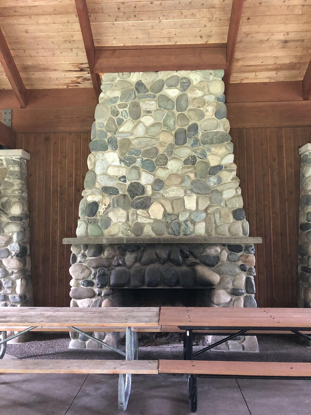
Beaver Lake
At roughly 28,200 acres, Beaver Lake is one of the lakes covered in Arkansas. The lake is in Washington County. Management is in…
Reservoir
Explore around Arkansas
Sources
Every figure on this page comes from one of these public sources.