
CountiesCleburne County
ArkansasReservoirCleburne County
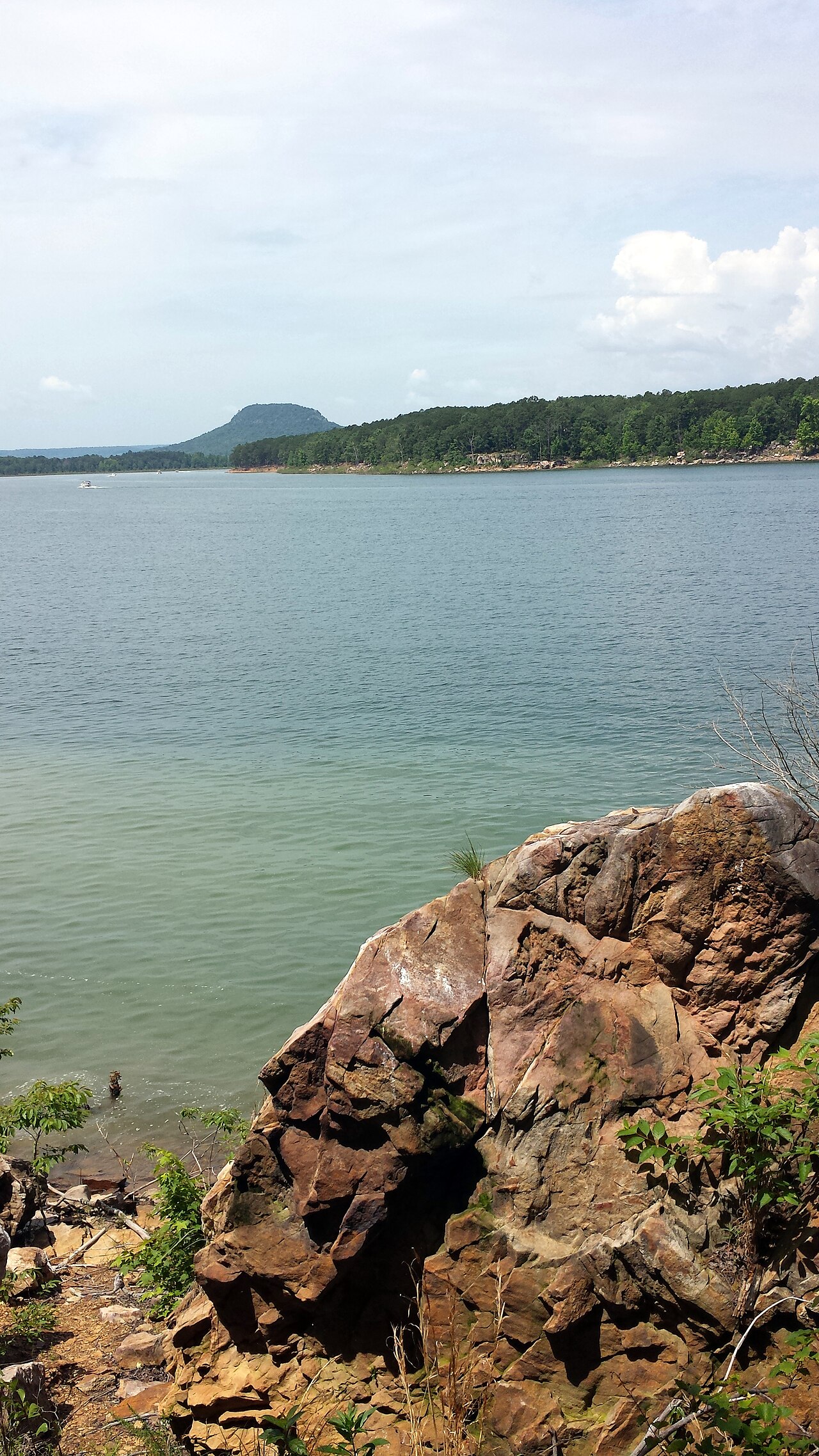
Greers Ferry Lake
Fed by the Little Red River, Greers Ferry Lake holds roughly 40,500 acres of water in Arkansas. It lies in Cleburne County. USACE Little Rock District manages it.
Coordinates35.5339, -92.1298
Surface area40,500 acres
Max depth198 ft
RiverLittle Red River
Managed byUSACE Little Rock District
Swimming beaches on Greers Ferry Lake
No named swimming beach is mapped yet for this lake. Access is through agency day-use areas and boat ramps listed below. We add beach pages only when we can confirm a name, coordinates and an operating agency.
Greers Ferry Lake on the map
Lake center, swimming spots and access points.
Weather and water temperature
Air temperature and wind from Open-Meteo. Water temperature only when the lake has a public sensor.
Weather data by Open-Meteo
About Greers Ferry Lake
Its coordinates are 35.5339, -92.1298. The deepest point on record is about 198 feet. The Little Red River carries the outflow.
Public access at Greers Ferry Lake covers 9 public recreation areas. Recreation areas nearby include Shiloh, Cherokee and Narrows. Parking is the usual limit on busy summer weekends.
The closest lakes in this guide are Lake Maumelle (Arkansas, 52 mi), Norfork Lake (Arkansas, 59 mi) and Bull Shoals Lake (Arkansas, 63 mi). Arkansas has 18 lakes on this site in total.
Algae blooms are seasonal and local: look for posted signs at the ramp or park entrance. There is no water temperature sensor here, so only air conditions are shown. Swimming season in Arkansas runs through the warm months, and day-use areas set their own opening dates.
We check the public feeds daily, so this page will fill in if one appears. No public gauge reports the water level at Greers Ferry Lake, so this page shows no level chart. We would rather leave the figure out than publish an estimate that nobody measured.
Recreation areas on Greers Ferry Lake
9 public recreation areas mapped around the lake by the U.S. Army Corps of Engineers. Facilities vary by area; check the managing office for opening dates and fees.
Shiloh Cherokee Narrows Devils Fork Heber Springs Cove Creek Unimproved Access Improved Access Hill Creek
Source: USACE Recreation Areas
Questions about Greers Ferry Lake
Is there a beach at Greers Ferry Lake?
No named swimming beach appears in the federal and state datasets this guide reads. Check the operating agency for day-use areas on the ground.
How big is Greers Ferry Lake?
About 40,500 acres. Maximum depth is around 198 feet.
What other lakes are near Greers Ferry Lake?
The closest in this guide is Lake Maumelle, about 52 miles away in Arkansas.
Lakes near Greers Ferry Lake
Other lakes in this guide, ordered by distance.
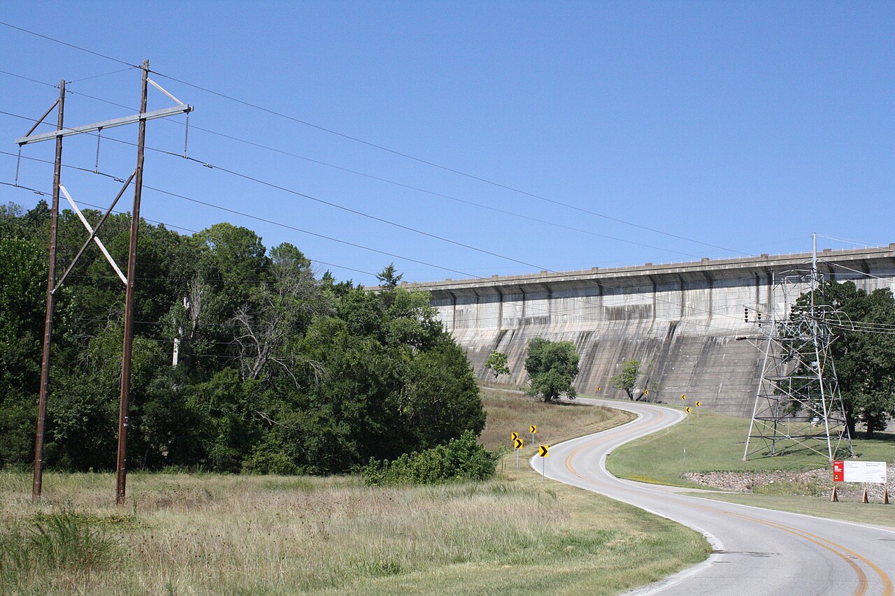
Norfork Lake
At roughly 22,000 acres, Norfork Lake is one of the lakes covered in Arkansas. The lake is in Baxter County. Management is in the…
Reservoir
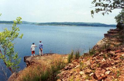
Bull Shoals Lake
Fed by the White River, Bull Shoals Lake holds roughly 45,440 acres of water in Arkansas. It is managed by USACE Little Rock…
Reservoir
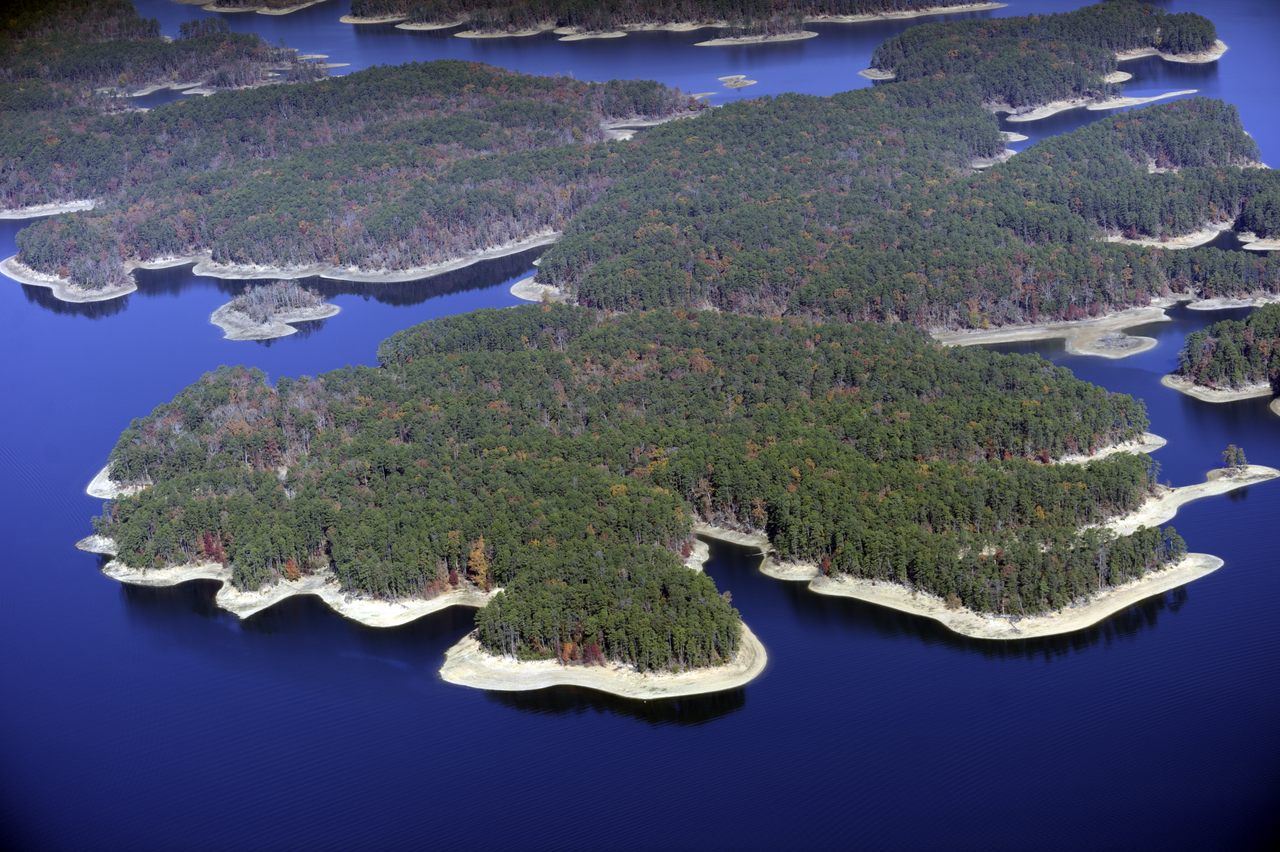
Lake Ouachita
Lake Ouachita is a 39,537-acre reservoir on the Ouachita River in Arkansas. You will find it in Garland County. Management is in…
Reservoir
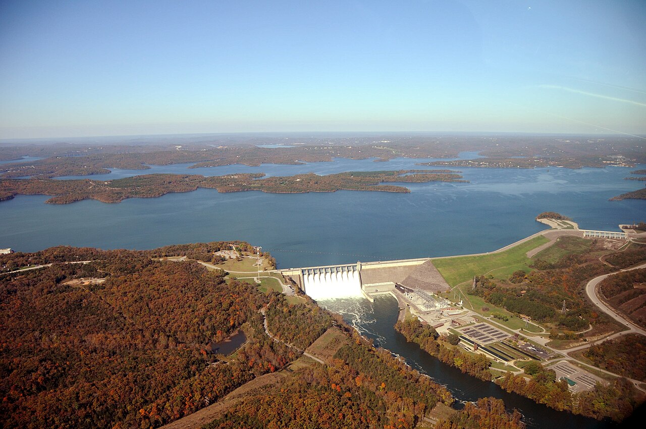
Table Rock Lake
Table Rock Lake covers about 43,100 acres of the White River in Missouri. You will find it in Stone County. USACE Little Rock…
Reservoir
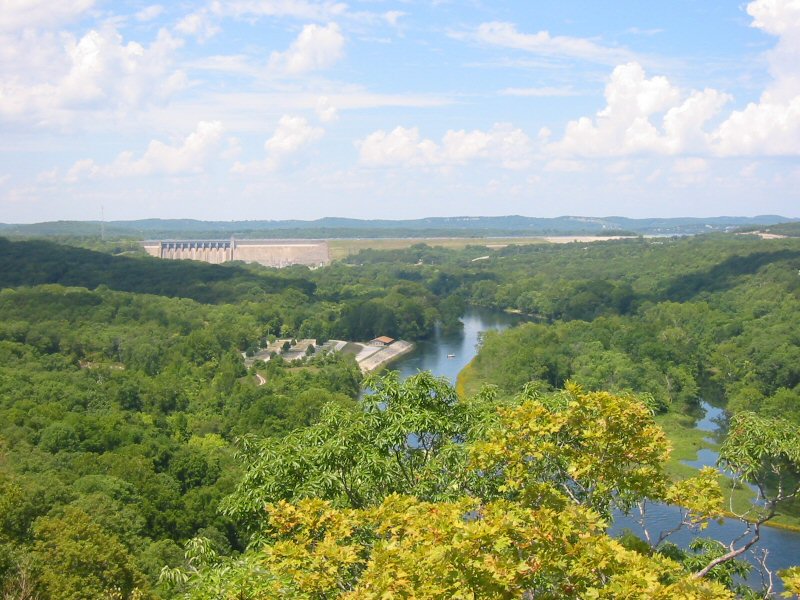
Lake Taneycomo
Fed by the White River, Lake Taneycomo holds roughly 2,200 acres of water in Missouri. You will find it in Taney County.…
Reservoir
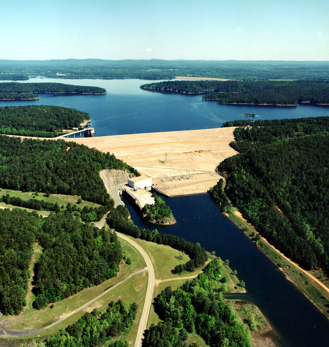
DeGray Lake
DeGray Lake covers about 13,800 acres of the Caddo River in Arkansas. Its shoreline falls inside Hot Spring County. It is managed…
Reservoir1 beach
Explore around Arkansas
Sources
Every figure on this page comes from one of these public sources.