
CountiesHot Spring County
ArkansasReservoirHot Spring County
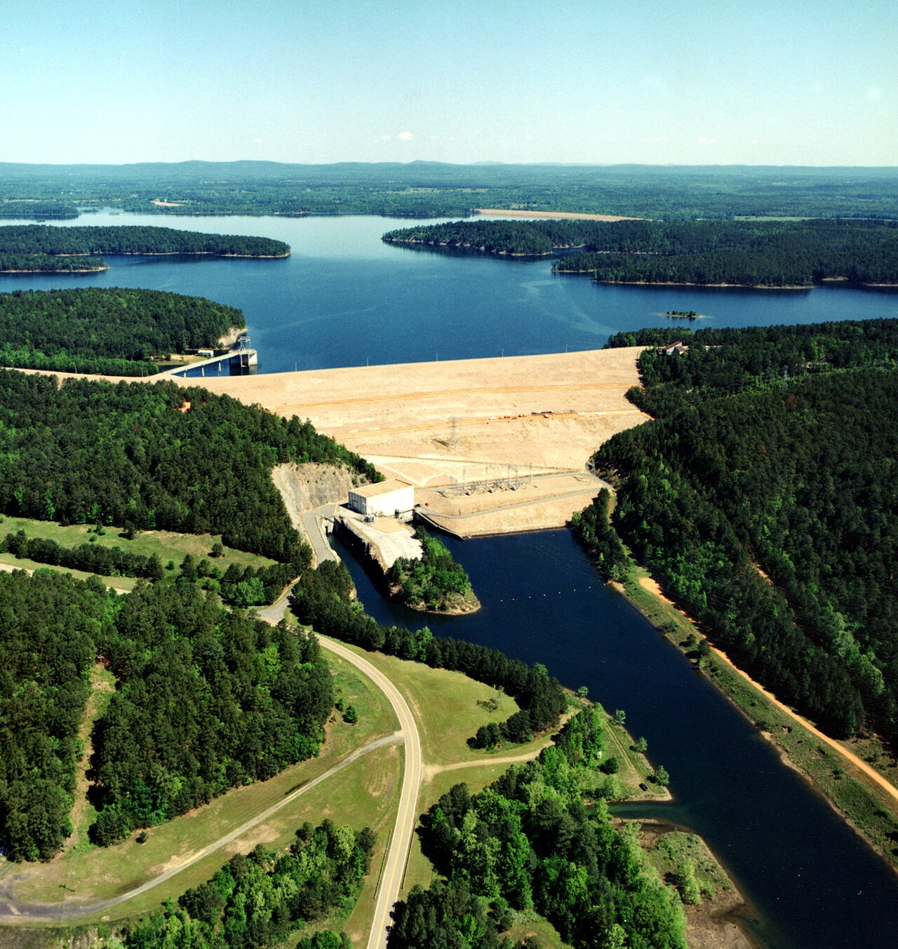
DeGray Lake
DeGray Lake covers about 13,800 acres of the Caddo River in Arkansas. Its shoreline falls inside Hot Spring County. It is managed by USACE Vicksburg District. This guide maps 1 named swimming spot around its shoreline.
Coordinates34.2147, -93.1114
Surface area13,800 acres
Max depth200 ft
Full pool408.0 ft
RiverCaddo River
Managed byUSACE Vicksburg District
Swimming beaches on DeGray Lake
1 named swimming spot and shoreline access points, from USGS GNIS, Recreation.gov and the Forest Service. None is staffed by a lifeguard unless the operating agency posts one.
DeGray Lake on the map
Lake center, swimming spots and access points.
Weather and water temperature
Air temperature and wind from Open-Meteo. Water temperature only when the lake has a public sensor.
Weather data by Open-Meteo
Visiting DeGray Lake
DeGray Lake sits at 34.2147, -93.1114. Water leaves through the Caddo River. The deepest point on record is about 200 feet.
Public access at DeGray Lake covers 1 named swimming spot and 8 public recreation areas. These come from Recreation.gov (RIDB). Recreation areas nearby include Iron Mountain, Lakeview and Highway 7. They include Degray Lake. None is staffed by a lifeguard unless the managing agency posts one.
Nearby water includes Lake Hamilton (Arkansas, 15 mi), Lake Catherine (Arkansas, 19 mi) and Lake Ouachita (Arkansas, 30 mi). Arkansas has 18 lakes on this site in total.
Freshwater advisories are issued locally, so check the state health department before you swim. Water temperature is not measured at this lake by any public agency we read. Swimming season in Arkansas runs through the warm months, and day-use areas set their own opening dates.
Ask the managing agency directly if the level matters for your trip. There is no live level reading for DeGray Lake. The agencies that run this water do not publish one openly, and we do not estimate what has not been measured.
Recreation areas on DeGray Lake
8 public recreation areas mapped around the lake by the U.S. Army Corps of Engineers. Facilities vary by area; check the managing office for opening dates and fees.
Iron Mountain Lakeview Highway 7 Lower Lake Degray Lake Resort State Park Edgewood Caddo Drive Ozan Point
Source: USACE Recreation Areas
Questions about DeGray Lake
What is full pool at DeGray Lake?
Full pool is 408.0 ft. Water above that level is flood storage and is released as conditions allow.
Can you swim in DeGray Lake?
Yes. This guide maps 1 named swimming spot around the lake, including Degray Lake. None is staffed by a lifeguard unless the operating agency posts one.
How big is DeGray Lake?
About 13,800 acres. Maximum depth is around 200 feet.
What other lakes are near DeGray Lake?
The closest in this guide is Lake Hamilton, about 15 miles away in Arkansas.
Lakes near DeGray Lake
Other lakes in this guide, ordered by distance.
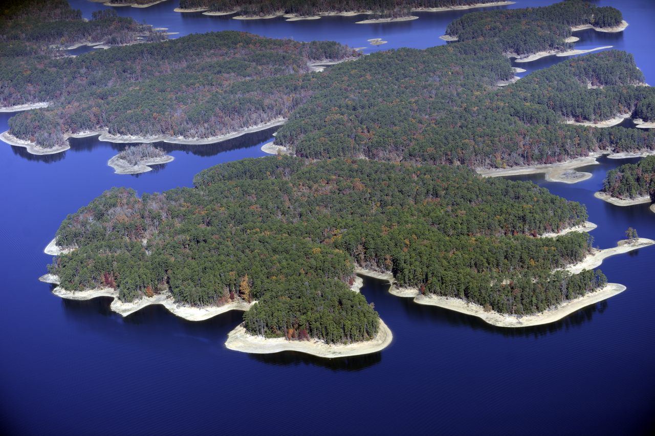
Lake Ouachita
Lake Ouachita is a 39,537-acre reservoir on the Ouachita River in Arkansas. You will find it in Garland County. Management is in…
Reservoir
Millwood Lake
Millwood Lake is a reservoir of some 29,200 acres on the Little River, in Arkansas. The lake is in Little River County. It is…
Reservoir
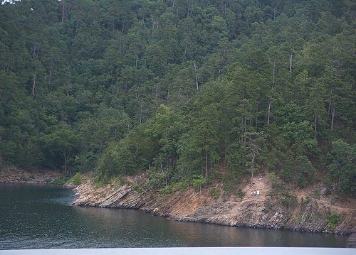
Broken Bow Lake
Broken Bow Lake covers about 14,200 acres of the Mountain Fork in Oklahoma. It lies in McCurtain County. USACE Tulsa District…
Reservoir
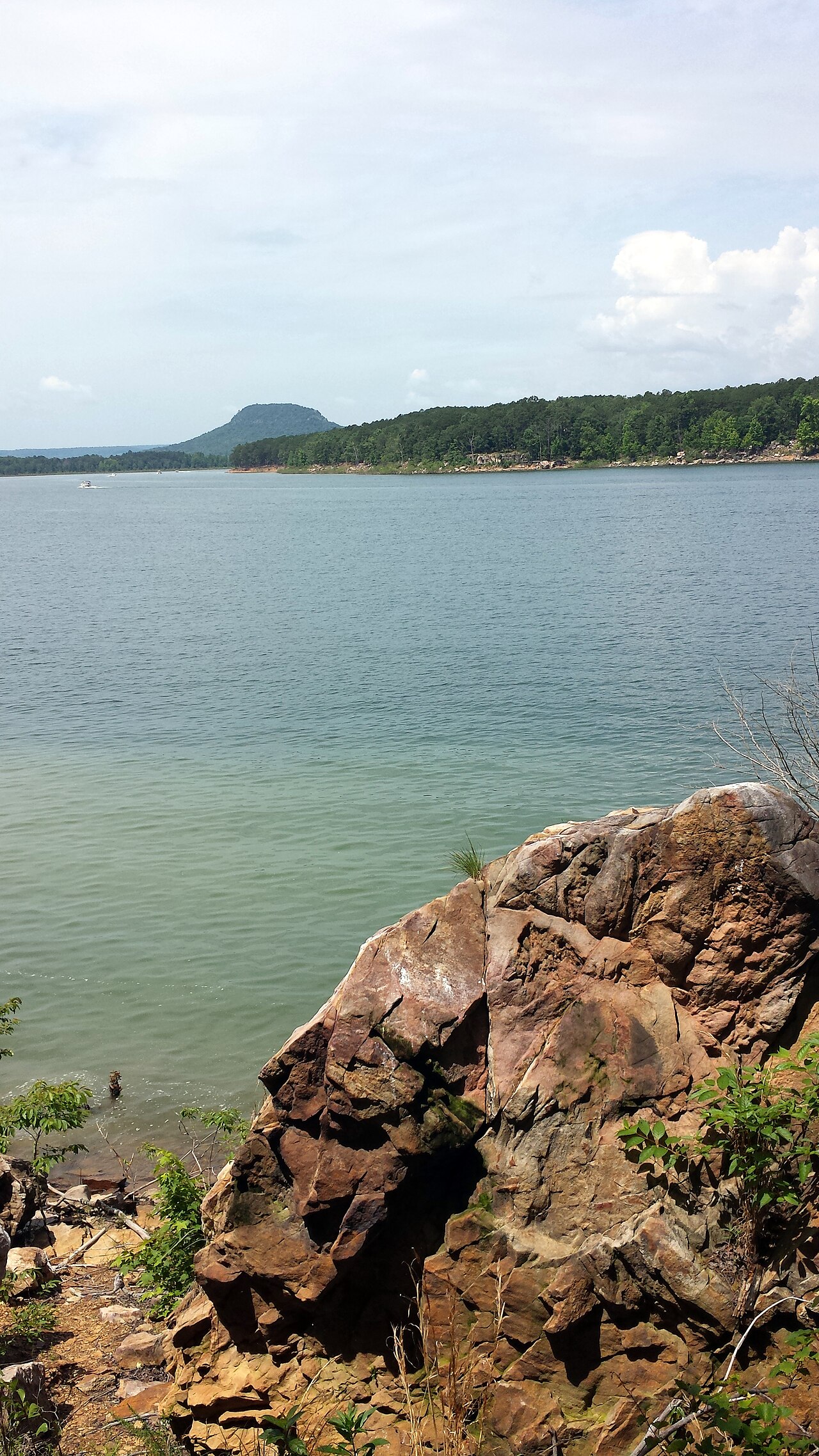
Greers Ferry Lake
Fed by the Little Red River, Greers Ferry Lake holds roughly 40,500 acres of water in Arkansas. It lies in Cleburne County. USACE…
Reservoir
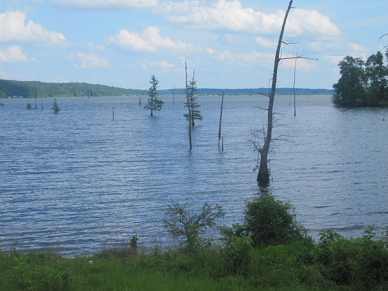
Lake D'Arbonne
Lake D'Arbonne is a reservoir of some 15,321 acres on the oceans =, in Louisiana. You will find it in Union Parish. It is managed…
Reservoir
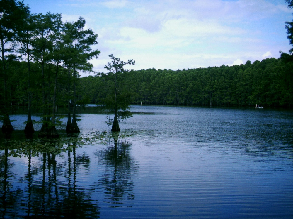
Caddo Lake
Caddo Lake is a 25,584-acre reservoir on the Twelvemile Bayou in Texas. It lies in Harrison County. Management is in the hands of…
78% fullReservoir
Explore around Arkansas
Sources
Every figure on this page comes from one of these public sources.