
CountiesWeber County
UtahReservoirWeber County
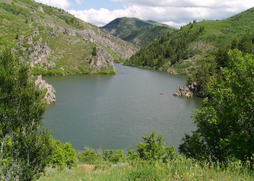
Causey Reservoir
Fed by the South Fork Ogden River, Causey Reservoir holds roughly 142 acres of water in Utah. It lies in Weber County. Management is in the hands of USFS Ogden Ranger District.
Coordinates41.2983, -111.5872
Surface area142 acres
Max depth182 ft
RiverSouth Fork Ogden River
Managed byUSFS Ogden Ranger District
Swimming beaches on Causey Reservoir
No named swimming beach is mapped yet for this lake. Access is through agency day-use areas and boat ramps listed below. We add beach pages only when we can confirm a name, coordinates and an operating agency.
Causey Reservoir on the map
Lake center, swimming spots and access points.
Weather and water temperature
Air temperature and wind from Open-Meteo. Water temperature only when the lake has a public sensor.
Weather data by Open-Meteo
Causey Reservoir: access and conditions
The center of the lake is at 41.2983, -111.5872. The South Fork Ogden River carries the outflow. It lies at roughly 5,696 feet of elevation. The deepest point on record is about 182 feet.
Where an agency publishes a figure, we show it with the time it was taken; here there is none. There is no live level reading for Causey Reservoir. The agencies that run this water do not publish one openly, and we do not estimate what has not been measured.
Most Utah day-use areas open for the summer season and close outside it. Freshwater advisories are issued locally, so check the state health department before you swim. No public sensor reports water temperature at Causey Reservoir, so the panel shows air temperature and wind.
The closest lakes in this guide are Pineview Reservoir (Utah, 11 mi), Echo Reservoir (Utah, 26 mi) and Hyrum Reservoir (Utah, 26 mi). Utah has 28 lakes on this site in total.
Public datasets record no beach at Causey Reservoir, so treat any shoreline access as unmarked and unsupervised. Middle Inlet Day Use, on Pineview Reservoir, is the closest named beach in this guide, about 10 miles off. A missing beach entry often just means nobody has catalogued the access point yet.
Questions about Causey Reservoir
Is there a beach at Causey Reservoir?
No named swimming beach appears in the federal and state datasets this guide reads. Check the operating agency for day-use areas on the ground.
How big is Causey Reservoir?
About 142 acres. Maximum depth is around 182 feet.
What other lakes are near Causey Reservoir?
The closest in this guide is Pineview Reservoir, about 11 miles away in Utah.
Lakes near Causey Reservoir
Other lakes in this guide, ordered by distance.
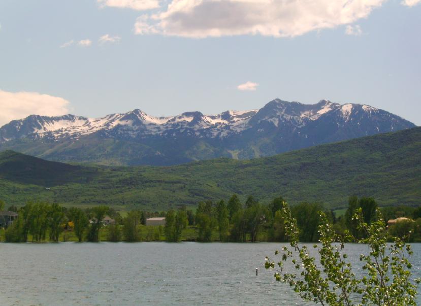
Pineview Reservoir
Pineview Reservoir is a 2,874-acre reservoir in Utah. The lake is in Weber County. USFS Ogden Ranger District manages it. This…
Reservoir1 beach
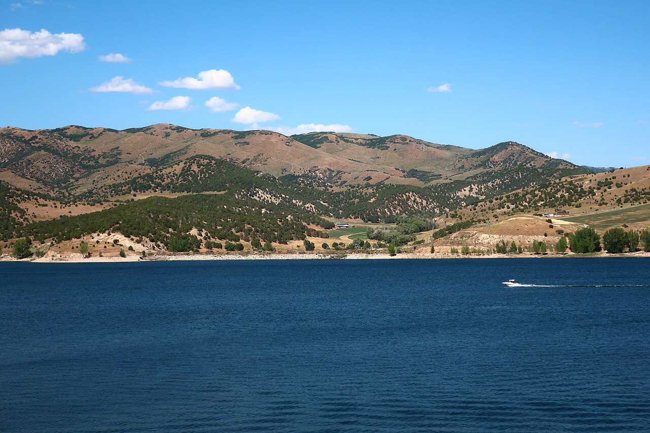
Echo Reservoir
Echo Reservoir is a 1,394-acre reservoir in Utah. You will find it in Summit County. It is managed by Utah State Parks…
Reservoir
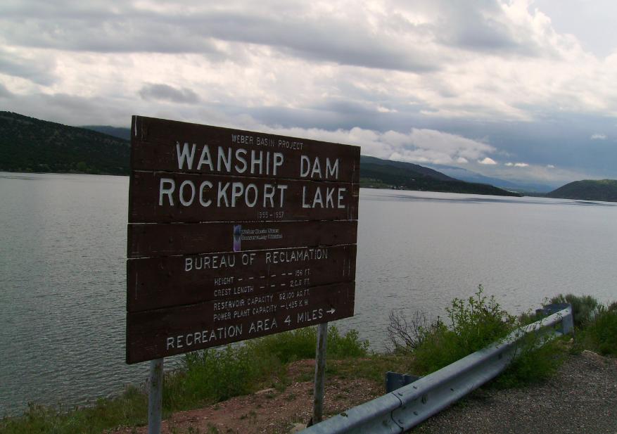
Rockport Reservoir
Rockport Reservoir is a 1,080-acre reservoir on the Weber River in Utah. Its shoreline falls inside Summit County. Utah State…
Reservoir1 beach
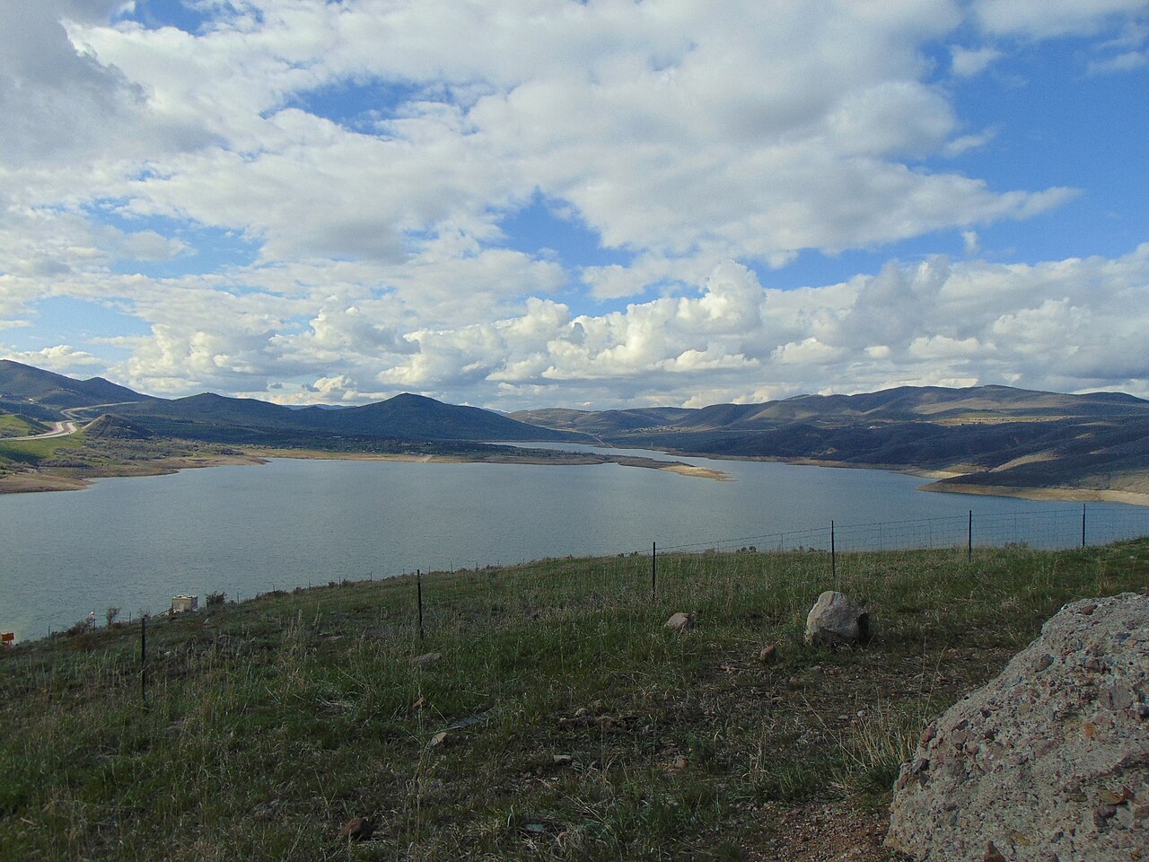
Jordanelle Reservoir
Fed by the Provo River, Jordanelle Reservoir holds roughly 3,300 acres of water in Utah. The lake is in Wasatch County.…
Reservoir1 beach
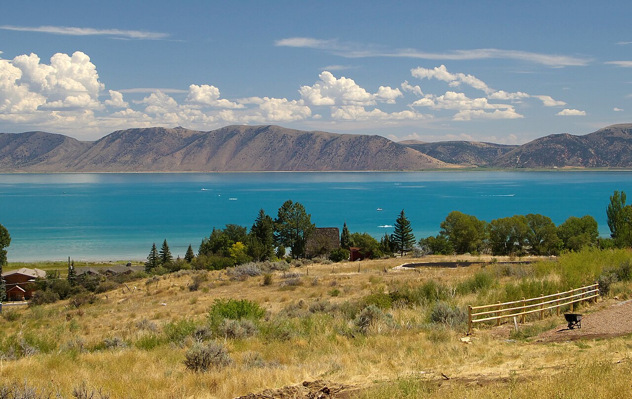
Bear Lake
Bear Lake is a lake of some 70,000 acres on the Bear Lake Outlet, in Utah. It lies in Rich County. Management is in the hands of…
Natural lake2 beaches
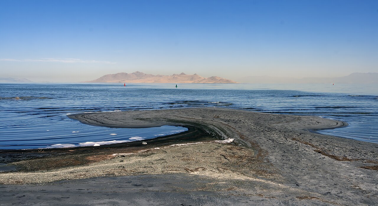
Great Salt Lake
Great Salt Lake covers about 1,087,264 acres of the catchment = in Utah. Its shoreline falls inside Box Elder County. It is…
Natural lake2 beaches
Explore around Utah
All lakes in Utah Swimming spots in Utah Lakes near North Ogden Lakes near Ogden
Sources
Every figure on this page comes from one of these public sources.