
CountiesRich County
UtahNatural lakeRich County
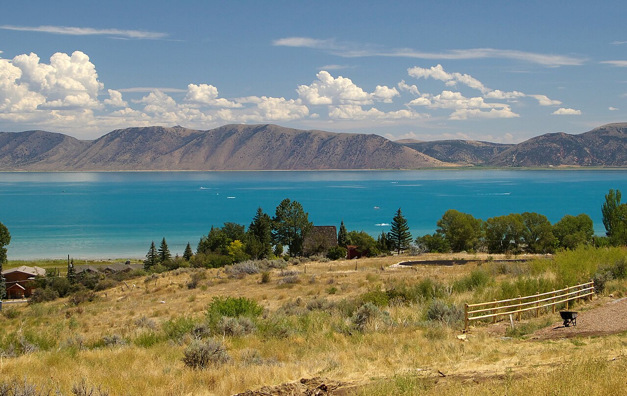
Bear Lake
Bear Lake is a lake of some 70,000 acres on the Bear Lake Outlet, in Utah. It lies in Rich County. Management is in the hands of Utah State Parks / Idaho DPR. The gauge last read 5,918.83 ft.
Water level today: 5,918.83 ft · see the full record
Coordinates42.0000, -111.3333
Surface area70,000 acres
Max depth208 ft
RiverBear Lake Outlet
Managed byUtah State Parks / Idaho DPR
Swimming beaches on Bear Lake
2 named swimming spots and shoreline access points, from USGS GNIS, Recreation.gov and the Forest Service. None is staffed by a lifeguard unless the operating agency posts one.
Bear Lake State Park
Fee information published; 4.2 mi from the lake center.
Recreation.gov (RIDB)Fee Information Published
Bear Lake on the map
Lake center, swimming spots and access points.
Weather and water temperature
Air temperature and wind from Open-Meteo. Water temperature only when the lake has a public sensor.
Weather data by Open-Meteo
Water level today
Readings come from station 10055000 (BEAR LAKE AT STATE PARK MARINA NR GARDEN CITY, UT). The last value stored here, 5,918.83 ft, is from 2026-09-09. The Corps of Engineers puts the top of the flood pool at 413.5 ft. The top of the dam sits at 434.5 ft. Over the record shown on the level page the gauge has moved between 5,918.89 ft and 5,923.60 ft (low on 2026-09-08, high on 2025-08-05). Beach width and ramp access both move with the pool, so the number above is worth a look first.
5,918.83 ft -0.28 ft in 7 days
What to know before you go to Bear Lake
Bear Lake sits at 42.0000, -111.3333. It lies at roughly 5,924 feet of elevation. It reaches roughly 208 feet at its deepest.
The closest lakes in this guide are Newton Reservoir (Utah, 34 mi), Hyrum Reservoir (Utah, 38 mi) and Causey Reservoir (Utah, 50 mi). Utah has 28 lakes on this site in total.
Water temperature is not measured at this lake by any public agency we read. Algae blooms are seasonal and local: look for posted signs at the ramp or park entrance. Swimming season in Utah runs through the warm months, and day-use areas set their own opening dates.
Readings come from station 10055000 (BEAR LAKE AT STATE PARK MARINA NR GARDEN CITY, UT). The last value stored here, 5,918.83 ft, is from 2026-09-09. The Corps of Engineers puts the top of the flood pool at 413.5 ft. The top of the dam sits at 434.5 ft. Over the record shown on the level page the gauge has moved between 5,918.89 ft and 5,923.60 ft (low on 2026-09-08, high on 2025-08-05). Beach width and ramp access both move with the pool, so the number above is worth a look first.
Around Bear Lake this guide maps 2 named swimming spots. Among them are Cisco Beach and Bear Lake State Park. These come from Recreation.gov (RIDB) and USGS GNIS. Fees and opening dates are set by each park, not by the agency that runs the water.
Questions about Bear Lake
Can you swim in Bear Lake?
Yes. This guide maps 2 named swimming spots around the lake, including Cisco Beach and Bear Lake State Park. None is staffed by a lifeguard unless the operating agency posts one.
How big is Bear Lake?
About 70,000 acres. Maximum depth is around 208 feet.
What other lakes are near Bear Lake?
The closest in this guide is Newton Reservoir, about 34 miles away in Utah.
Lakes near Bear Lake
Other lakes in this guide, ordered by distance.
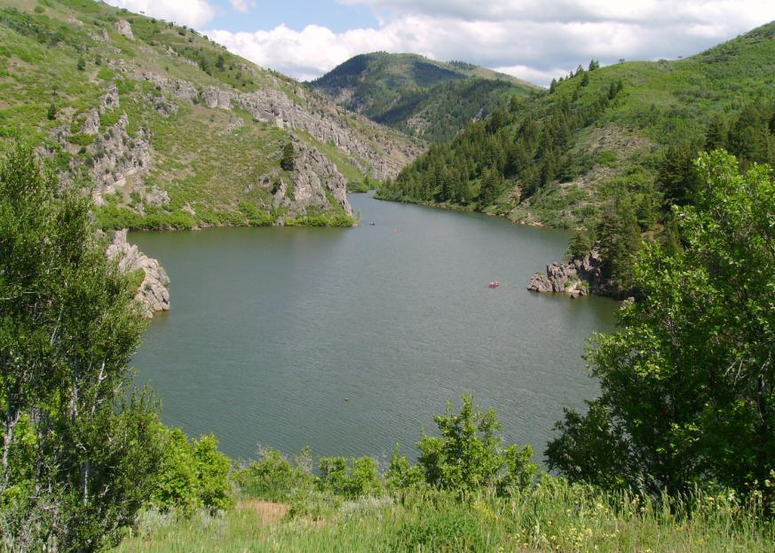
Causey Reservoir
Fed by the South Fork Ogden River, Causey Reservoir holds roughly 142 acres of water in Utah. It lies in Weber County. Management…
Reservoir
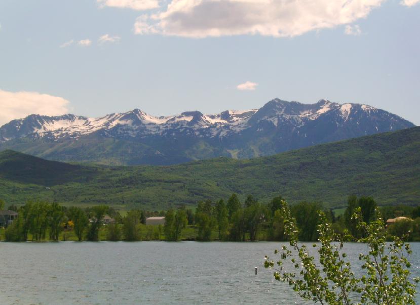
Pineview Reservoir
Pineview Reservoir is a 2,874-acre reservoir in Utah. The lake is in Weber County. USFS Ogden Ranger District manages it. This…
Reservoir1 beach
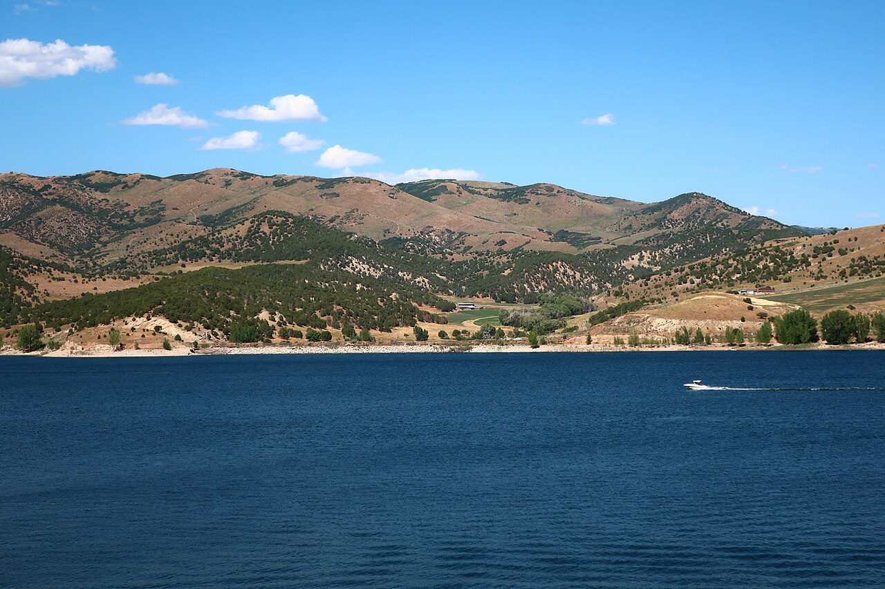
Echo Reservoir
Echo Reservoir is a 1,394-acre reservoir in Utah. You will find it in Summit County. It is managed by Utah State Parks…
Reservoir
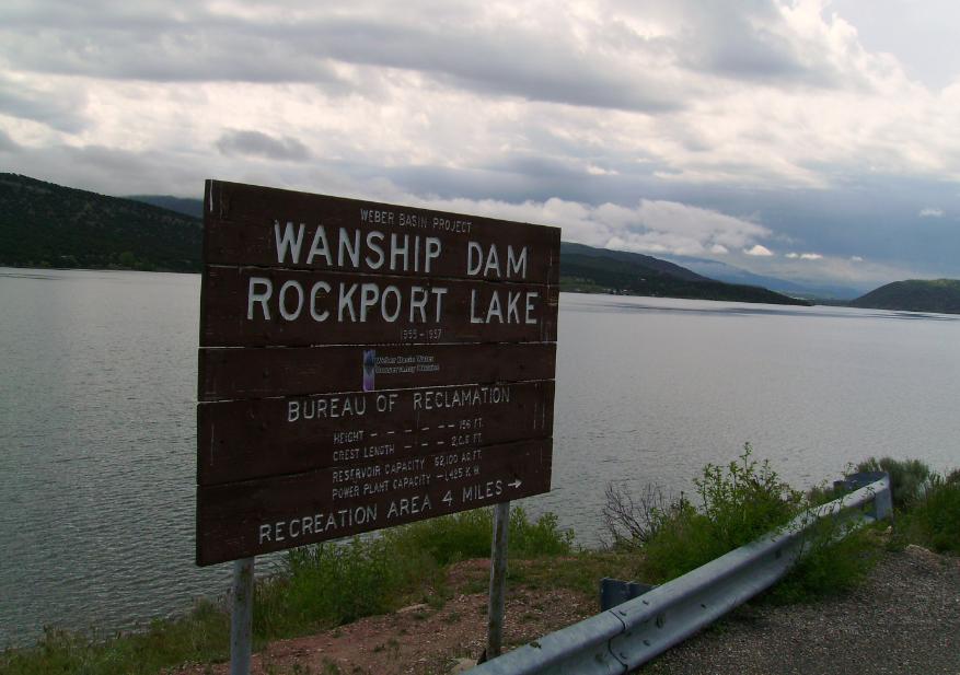
Rockport Reservoir
Rockport Reservoir is a 1,080-acre reservoir on the Weber River in Utah. Its shoreline falls inside Summit County. Utah State…
Reservoir1 beach
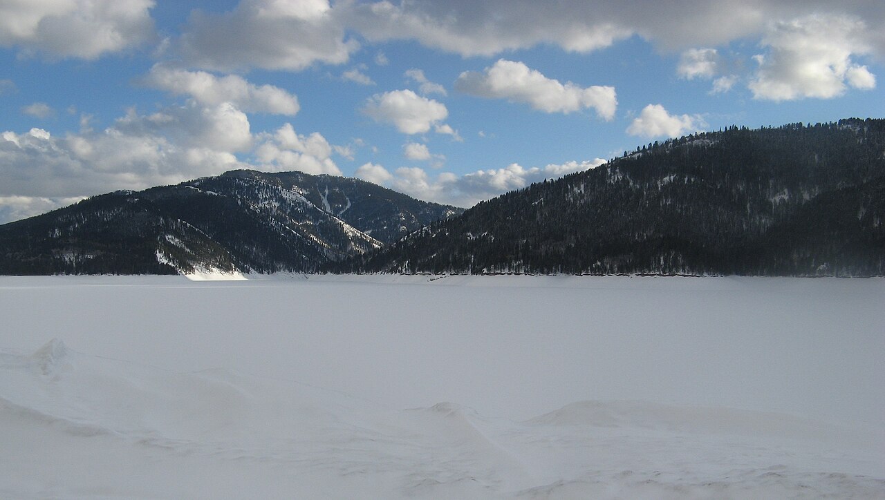
Palisades Reservoir
Palisades Reservoir covers about 16,000 acres in Idaho. It lies in Bonneville County. USFS Caribou-Targhee NF / USBR manages it.
Reservoir
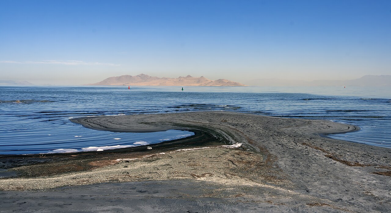
Great Salt Lake
Great Salt Lake covers about 1,087,264 acres of the catchment = in Utah. Its shoreline falls inside Box Elder County. It is…
Natural lake2 beaches
Explore around Utah
All lakes in Utah Swimming spots in Utah Lakes near Smithfield Lakes near Logan
Sources
Every figure on this page comes from one of these public sources.