
CountiesBox Elder County
UtahNatural lakeBox Elder County
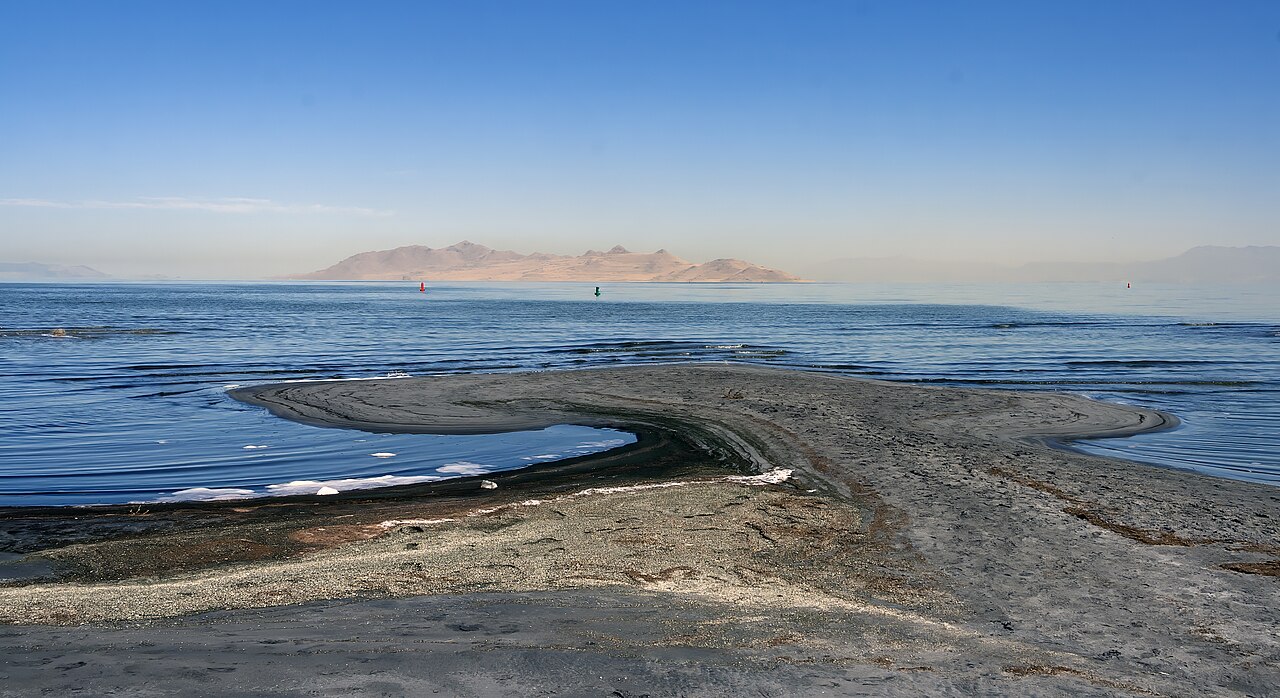
Great Salt Lake
Great Salt Lake covers about 1,087,264 acres of the catchment = in Utah. Its shoreline falls inside Box Elder County. It is managed by Utah State Parks. The gauge last read 4,189.60 ft.
Water level today: 4,189.60 ft · see the full record
Coordinates41.1667, -112.5833
Surface area1,087,264 acres
Max depth35 ft
Rivercatchment =
Managed byUtah State Parks
Swimming beaches on Great Salt Lake
2 named swimming spots and shoreline access points, from USGS GNIS, Recreation.gov and the Forest Service. None is staffed by a lifeguard unless the operating agency posts one.
Antelope Island State Park
Fee information published; 19.3 mi from the lake center.
Recreation.gov (RIDB)Fee Information Published
Great Salt Lake on the map
Lake center, swimming spots and access points.
Weather and water temperature
Air temperature and wind from Open-Meteo. Water temperature only when the lake has a public sensor.
Weather data by Open-Meteo
Water level today
Readings come from station 10010100 (GREAT SALT LAKE NEAR SALINE, UT). The last value stored here, 4,189.60 ft, is from 2026-09-09. Over the record shown on the level page the gauge has moved between 4,189.60 ft and 4,191.60 ft (low on 2026-09-06, high on 2026-04-02). A falling pool widens the beaches and shortens the ramps, so it is worth checking before you drive out.
4,189.60 ft -0.10 ft in 7 days
What to know before you go to Great Salt Lake
Its coordinates are 41.1667, -112.5833. It reaches roughly 35 feet at its deepest. The surface sits around 4,209 feet above sea level.
Readings come from station 10010100 (GREAT SALT LAKE NEAR SALINE, UT). The last value stored here, 4,189.60 ft, is from 2026-09-09. Over the record shown on the level page the gauge has moved between 4,189.60 ft and 4,191.60 ft (low on 2026-09-06, high on 2026-04-02). A falling pool widens the beaches and shortens the ramps, so it is worth checking before you drive out.
Inland lakes are not monitored the way ocean beaches are, so posted signs matter more here. No public sensor reports water temperature at Great Salt Lake, so the panel shows air temperature and wind. Season dates vary by park; the operating agency publishes them each spring.
Nearby water includes Willard Bay Reservoir (Utah, 30 mi), Pineview Reservoir (Utah, 41 mi) and Hyrum Reservoir (Utah, 49 mi). Utah has 28 lakes on this site in total.
The shoreline of Great Salt Lake has 2 named swimming spots in the datasets we read. These come from Recreation.gov (RIDB) and USGS GNIS. Jones Beach and Antelope Island State Park are on the list. Assume no lifeguard is on duty and keep children within reach.
Questions about Great Salt Lake
Can you swim in Great Salt Lake?
Yes. This guide maps 2 named swimming spots around the lake, including Jones Beach and Antelope Island State Park. None is staffed by a lifeguard unless the operating agency posts one.
How big is Great Salt Lake?
About 1,087,264 acres. Maximum depth is around 35 feet.
What other lakes are near Great Salt Lake?
The closest in this guide is Willard Bay Reservoir, about 30 miles away in Utah.
Lakes near Great Salt Lake
Other lakes in this guide, ordered by distance.
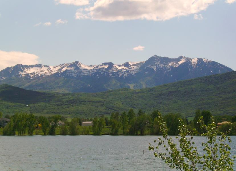
Pineview Reservoir
Pineview Reservoir is a 2,874-acre reservoir in Utah. The lake is in Weber County. USFS Ogden Ranger District manages it. This…
Reservoir1 beach
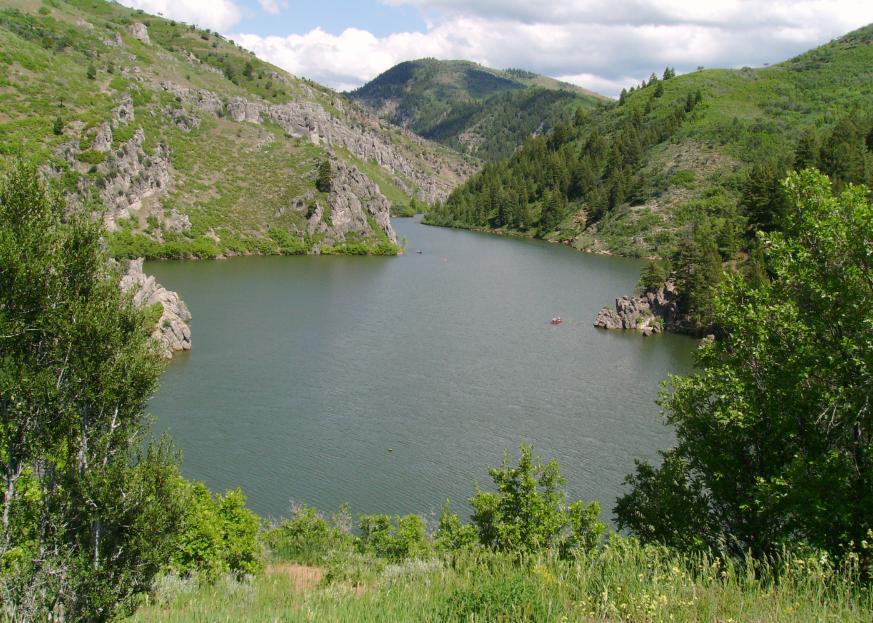
Causey Reservoir
Fed by the South Fork Ogden River, Causey Reservoir holds roughly 142 acres of water in Utah. It lies in Weber County. Management…
Reservoir
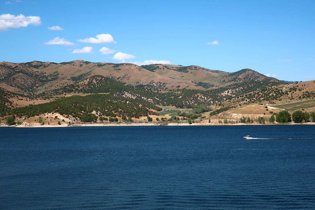
Echo Reservoir
Echo Reservoir is a 1,394-acre reservoir in Utah. You will find it in Summit County. It is managed by Utah State Parks…
Reservoir
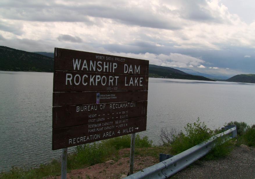
Rockport Reservoir
Rockport Reservoir is a 1,080-acre reservoir on the Weber River in Utah. Its shoreline falls inside Summit County. Utah State…
Reservoir1 beach
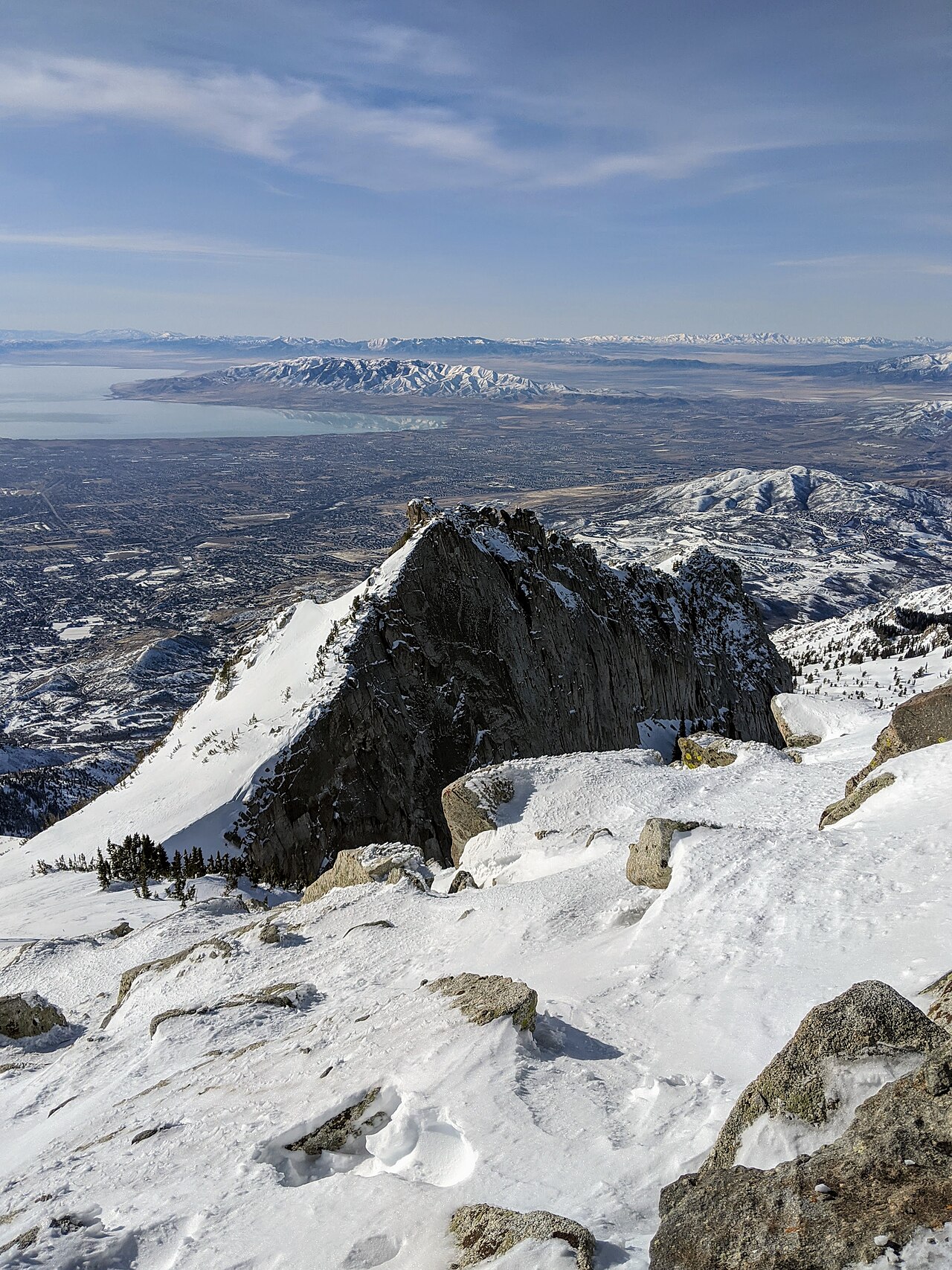
Utah Lake
Utah Lake covers about 96,000 acres in Utah. Its shoreline falls inside Utah County. Utah State Parks (Utah Lake State Park)…
Natural lake
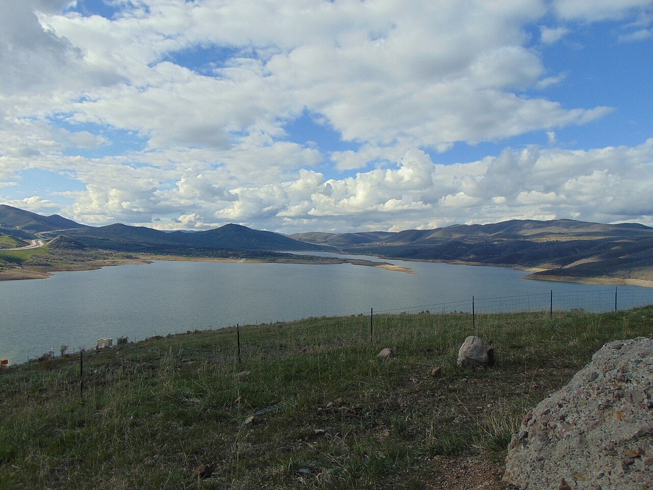
Jordanelle Reservoir
Fed by the Provo River, Jordanelle Reservoir holds roughly 3,300 acres of water in Utah. The lake is in Wasatch County.…
Reservoir1 beach
Explore around Utah
All lakes in Utah Swimming spots in Utah Lakes near West Point Lakes near Clinton
Sources
Every figure on this page comes from one of these public sources.