
CountiesMontgomery County
TexasReservoirMontgomery County
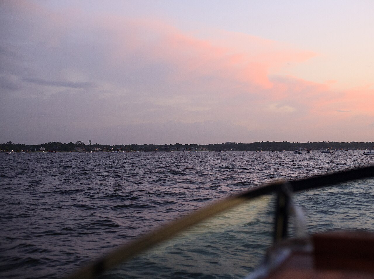
Lake Conroe
Lake Conroe is a 19,337-acre reservoir on the outflow = in Texas. It lies in Montgomery County. Management is in the hands of San Jacinto River Authority. The latest reading is 199.98 ft, 1.0 ft below the 201.0 ft full pool.
Water level today: 199.98 ft (95% full) · see the full record
Coordinates30.3569, -95.5603
Surface area19,337 acres
Max depth79 ft
Full pool201.0 ft
Capacity417,577 acre-ft
Riveroutflow =
Managed bySan Jacinto River Authority
Swimming beaches on Lake Conroe
2 named swimming spots and shoreline access points, from USGS GNIS, Recreation.gov and the Forest Service. None is staffed by a lifeguard unless the operating agency posts one.
Scott's Ridge Swim Site: (936) 344-6205
Managed by National Forests and Grasslands in Texas; open April to September; fee information published, published season; 7.9 mi…
USDA Forest ServiceSwimmingFee Information PublishedPublished Season
SAM HOUSTON (Houston/Conroe/Huntsville Area)
12.0 mi from the lake center.
Recreation.gov (RIDB)Swimming
Lake Conroe on the map
Lake center, swimming spots and access points.
Weather and water temperature
Air temperature and wind from Open-Meteo. Water temperature only when the lake has a public sensor.
Weather data by Open-Meteo
Water level today
Readings come from station 08067600 (Lk Conroe nr Conroe, TX). Conservation capacity is 417,577 acre-feet. That put the reservoir at 95% of its conservation capacity. The last value stored here, 199.98 ft, is from 2026-09-09. The agency sets full pool at 201.0 ft. Over the record shown on the level page the gauge has moved between 199.73 ft and 201.42 ft (low on 2025-11-28, high on 2026-07-15). Beach width and ramp access both move with the pool, so the number above is worth a look first.
199.98 ft -0.03 ft in 7 days
Lake Conroe explained
On the map, Lake Conroe is centered near 30.3569, -95.5603. Water leaves through the outflow =. It reaches roughly 79 feet at its deepest. It lies at roughly 200 feet of elevation.
Readings come from station 08067600 (Lk Conroe nr Conroe, TX). Conservation capacity is 417,577 acre-feet. That put the reservoir at 95% of its conservation capacity. The last value stored here, 199.98 ft, is from 2026-09-09. The agency sets full pool at 201.0 ft. Over the record shown on the level page the gauge has moved between 199.73 ft and 201.42 ft (low on 2025-11-28, high on 2026-07-15). Beach width and ramp access both move with the pool, so the number above is worth a look first.
If Lake Conroe is busy, the nearest alternatives here are Lake Livingston (Texas, 36 mi), Lake Houston (Texas, 37 mi) and Lake Bryan (Texas, 59 mi). Texas has 118 lakes on this site in total.
Swimming season in Texas runs through the warm months, and day-use areas set their own opening dates. If the water looks like pea soup or paint, stay out and report it to the managing agency. There is no water temperature sensor here, so only air conditions are shown.
The shoreline of Lake Conroe has 2 named swimming spots in the datasets we read. These come from Recreation.gov (RIDB) and USDA Forest Service. They include Scott's Ridge Swim Site: (936) 344-6205 and SAM HOUSTON (Houston/Conroe/Huntsville Area). Parking is the usual limit on busy summer weekends.
Questions about Lake Conroe
Can you swim in Lake Conroe?
Yes. This guide maps 2 named swimming spots around the lake, including Scott's Ridge Swim Site: (936) 344-6205 and SAM HOUSTON (Houston/Conroe/Huntsville Area). None is staffed by a lifeguard unless the operating agency posts one.
How big is Lake Conroe?
About 19,337 acres. Maximum depth is around 79 feet.
What other lakes are near Lake Conroe?
The closest in this guide is Lake Livingston, about 36 miles away in Texas.
Lakes near Lake Conroe
Other lakes in this guide, ordered by distance.
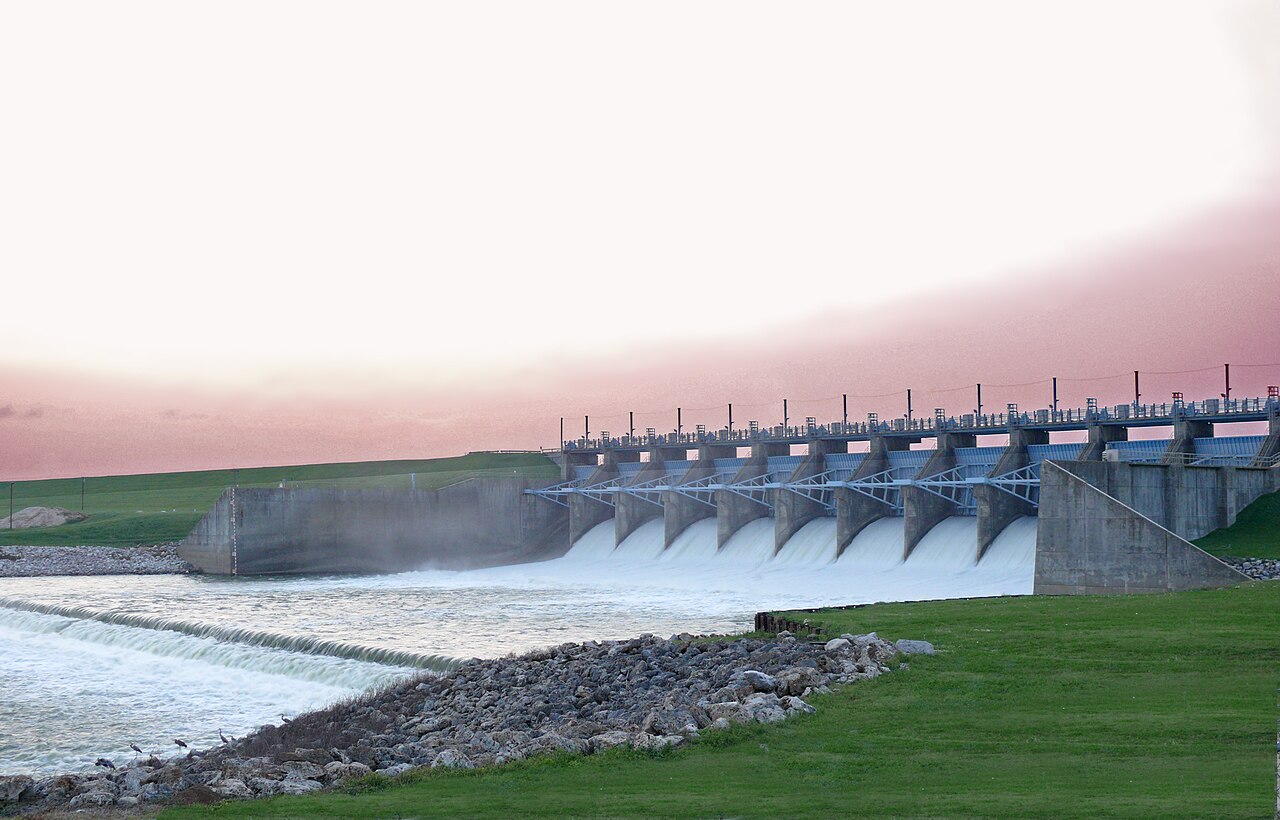
Lake Livingston
Fed by the Trinity River, Lake Livingston holds roughly 74,128 acres of water in Texas. The lake is in San Jacinto County.…
94% fullReservoir
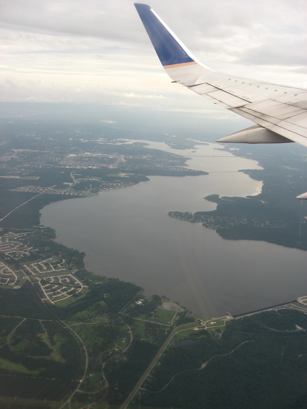
Lake Houston
Fed by the San Jacinto River, Lake Houston holds roughly 11,854 acres of water in Texas. You will find it in Harris County.…
100% fullReservoir
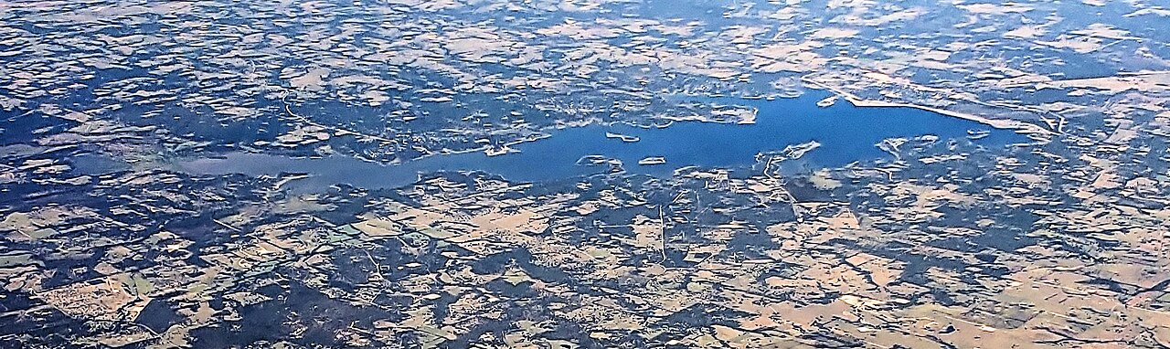
Somerville Lake
Somerville Lake is a reservoir of some 10,807 acres on the Yegua Creek, in Texas. It lies in Burleson County. USACE Fort Worth…
93% fullReservoir
Lake Limestone
Lake Limestone covers about 11,705 acres of the catchment = in Texas. The lake is in Leon County. It is managed by Brazos River…
89% fullReservoir
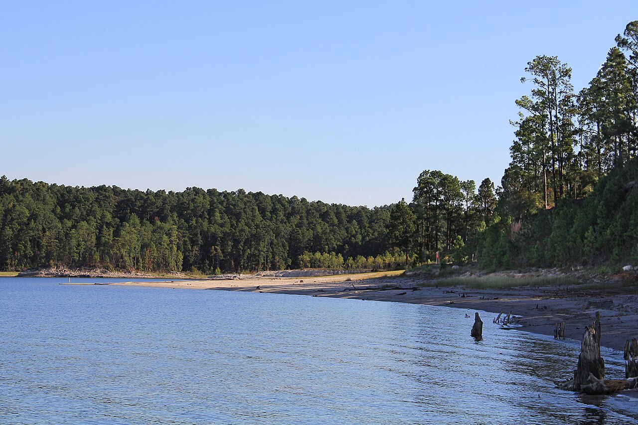
Sam Rayburn Reservoir
Sam Rayburn Reservoir spreads across Deep East Texas about 70 miles north of Beaumont, fed by the Angelina River. The Army Corps…
67% fullReservoir
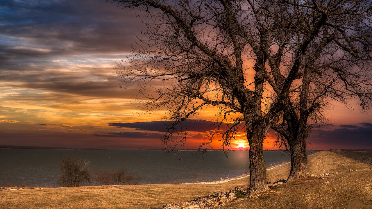
Granger Lake
Granger Lake is a reservoir of some 4,064 acres on the San Gabriel River, in Texas. Its shoreline falls inside Williamson County.…
100% fullReservoir
Explore around Texas
All lakes in Texas Swimming spots in Texas Lakes near Conroe Lakes near Humble
Sources
Every figure on this page comes from one of these public sources.