
CountiesDenton County
TexasReservoirDenton County
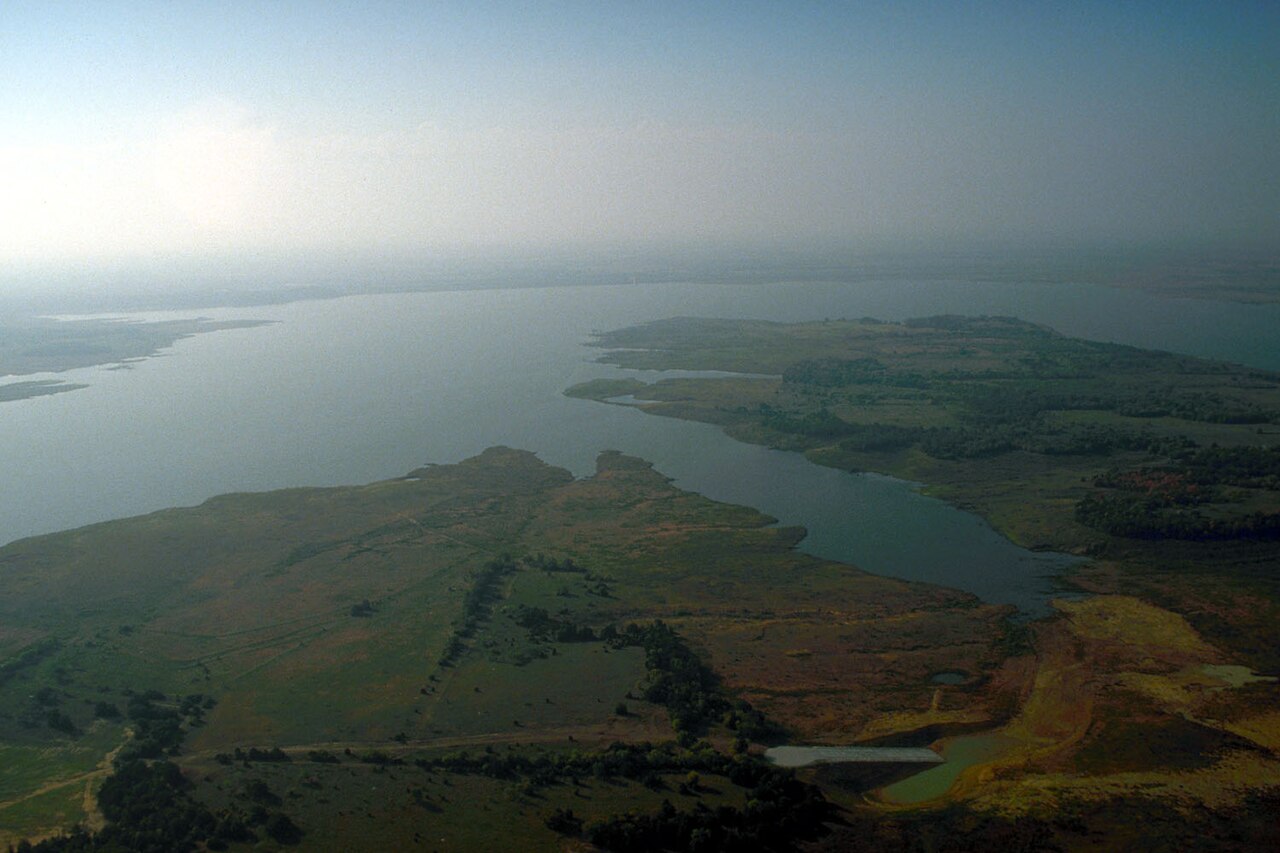
Lake Ray Roberts
Lake Ray Roberts is a 27,535-acre reservoir on the Elm Fork Trinity River in Texas. It lies in Denton County. Management is in the hands of USACE Fort Worth District.
Coordinates33.3647, -97.0514
Surface area27,535 acres
Max depth106 ft
Full pool632.5 ft
Capacity788,167 acre-ft
RiverElm Fork Trinity River
Managed byUSACE Fort Worth District
Swimming beaches on Lake Ray Roberts
No named swimming beach is mapped yet for this lake. Access is through agency day-use areas and boat ramps listed below. We add beach pages only when we can confirm a name, coordinates and an operating agency.
Lake Ray Roberts on the map
Lake center, swimming spots and access points.
Weather and water temperature
Air temperature and wind from Open-Meteo. Water temperature only when the lake has a public sensor.
Weather data by Open-Meteo · water temperature from USGS
What to know before you go to Lake Ray Roberts
The center of the lake is at 33.3647, -97.0514. Outflow feeds the Elm Fork Trinity River. The deepest point on record is about 106 feet. The surface sits around 632 feet above sea level.
The shoreline of Lake Ray Roberts has 11 public recreation areas and 2 boat ramps in the datasets we read. Recreation areas nearby include Elm Fork Park, Isle Dubois State Park and Johnson Branch State Park. Launch points include Crescent Oak Ramp and Big Sandy Ramp.. None is staffed by a lifeguard unless the managing agency posts one.
The closest lakes in this guide are Lewisville Lake (Texas, 21 mi), Grapevine Lake (Texas, 27 mi) and Lavon Lake (Texas, 40 mi). In all, 118 lakes in Texas are covered here.
The same station reports water temperature, last read at 79.7 °F. Algae blooms are seasonal and local: look for posted signs at the ramp or park entrance. Most Texas day-use areas open for the summer season and close outside it.
Local marinas and park offices usually know the current state of the water better than any feed. The nearest gauge on record, 332138097024101 (Ray Roberts Lk Site AC nr Pilot Point, TX), sits some 0 miles off and covers other water. This page shows no water level for Lake Ray Roberts because no agency publishes one that can be read automatically.
Recreation areas on Lake Ray Roberts
11 public recreation areas mapped around the lake by the U.S. Army Corps of Engineers. Facilities vary by area; check the managing office for opening dates and fees.
Elm Fork Park Isle Dubois State Park Johnson Branch State Park Sanger Access Pond Creek Access Pecan Creek Access Jordan Branch Access Greenbelt Access 380 Buck Creek Access Area Doe Branch Access Little Elm
Source: USACE Recreation Areas
Boat ramps and access points
Public launch points recorded around the lake. Low water can close shallow ramps, so check the level before hauling a trailer.
| Name | Operated by | Distance | Source |
|---|---|---|---|
| Crescent Oak Ramp | Local Government Agency | 13.1 mi | source |
| Big Sandy Ramp | Corps Of Engineers | 13.8 mi | source |
Ramp data: USACE Recreation Areas
Questions about Lake Ray Roberts
How full is Lake Ray Roberts?
It was last reported at 95% of conservation capacity, holding 751,287 of 788,167 acre-feet.
What is full pool at Lake Ray Roberts?
Full pool is 632.5 ft. Water above that level is flood storage and is released as conditions allow.
Is there a beach at Lake Ray Roberts?
No named swimming beach appears in the federal and state datasets this guide reads. Check the operating agency for day-use areas on the ground.
How big is Lake Ray Roberts?
About 27,535 acres. Maximum depth is around 106 feet.
What is the water temperature at Lake Ray Roberts?
The sensor last read 79.7 °F. The page refreshes it from the gauge when you load it.
What other lakes are near Lake Ray Roberts?
The closest in this guide is Lewisville Lake, about 21 miles away in Texas.
Lakes near Lake Ray Roberts
Other lakes in this guide, ordered by distance.
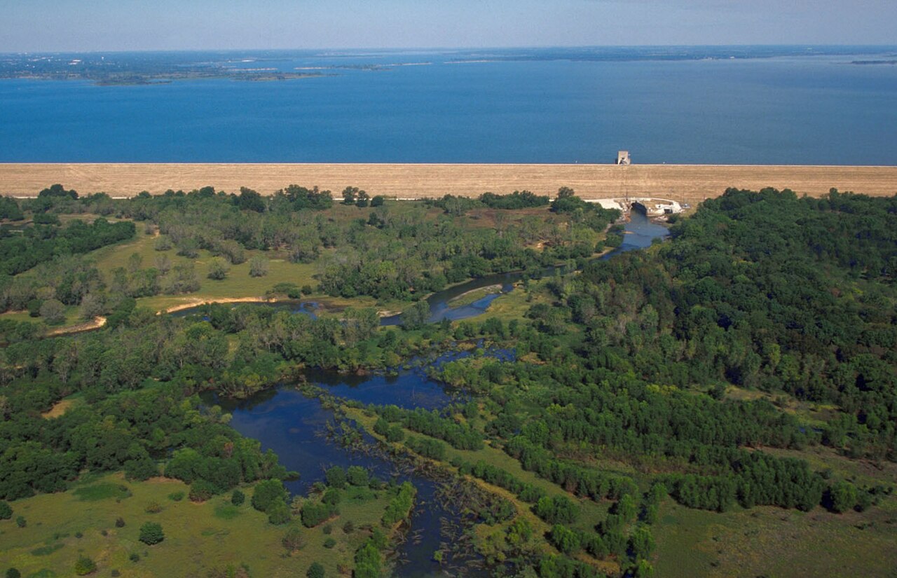
Lewisville Lake
Lewisville Lake is a 25,251-acre reservoir on the catchment = in Texas. Its shoreline falls inside Denton County. Management is…
87% fullReservoir
Grapevine Lake
Grapevine Lake is a 6,202-acre reservoir on the Denton Creek in Texas. It lies in Denton County. It is managed by USACE Fort…
93% fullReservoir
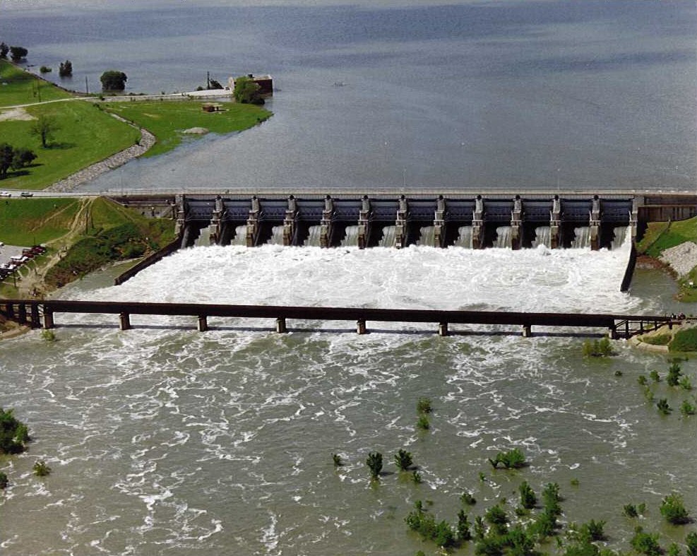
Lavon Lake
Lavon Lake is a reservoir of some 19,236 acres on the catchment_sqmi =, in Texas. Its shoreline falls inside Collin County. It is…
84% fullReservoir
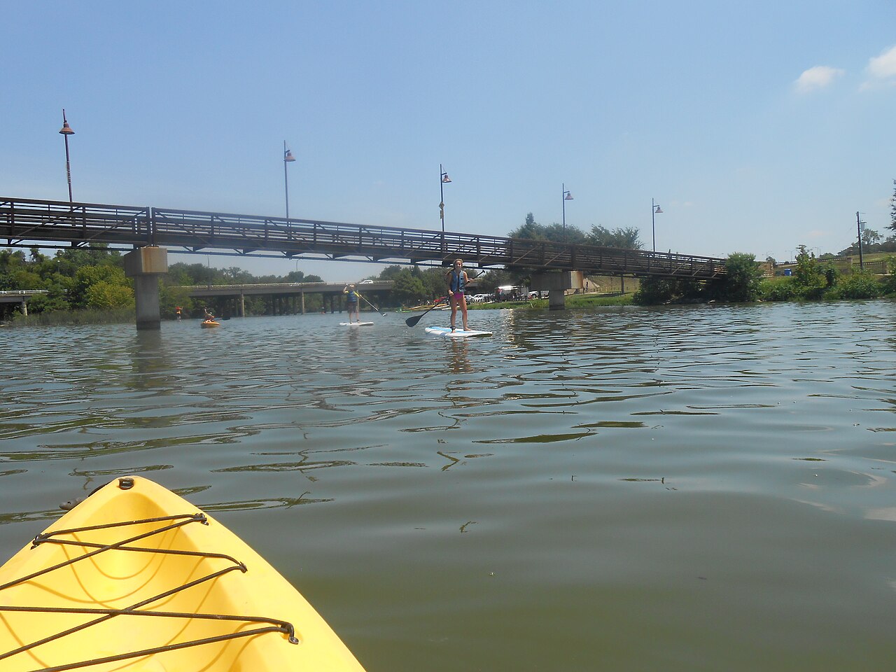
White Rock Lake
Fed by the White Rock Creek, White Rock Lake holds roughly 1,254 acres of water in Texas. Its shoreline falls inside Dallas…
Reservoir
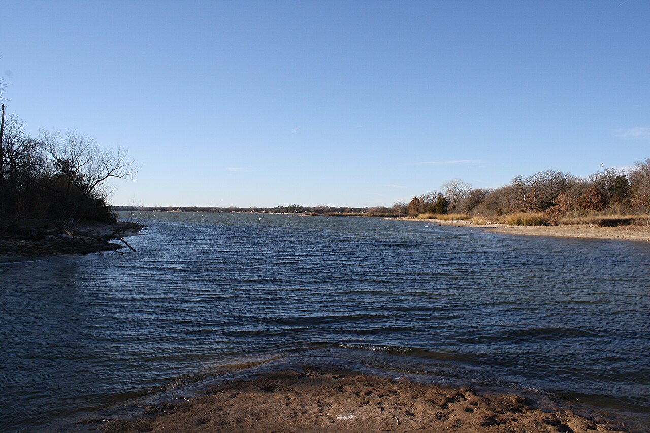
Eagle Mountain Lake
Eagle Mountain Lake is a 7,714-acre reservoir on the Lake Worth (Texas) in Texas. The lake is in Tarrant County. It is managed by…
74% fullReservoir1 beach
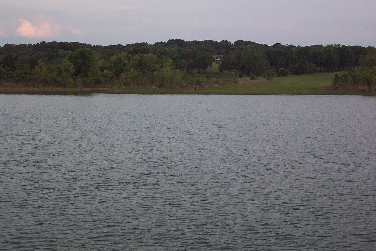
Lake Texoma
Lake Texoma is a 72,633-acre reservoir on the Red River in Texas. Its shoreline falls inside Marshall County. It is managed by…
97% fullReservoir
Explore around Texas
All lakes in Texas Swimming spots in Texas Lakes near Denton Lakes near Little Elm
Sources
Every figure on this page comes from one of these public sources.