
CountiesCarter County
OklahomaReservoirCarter County
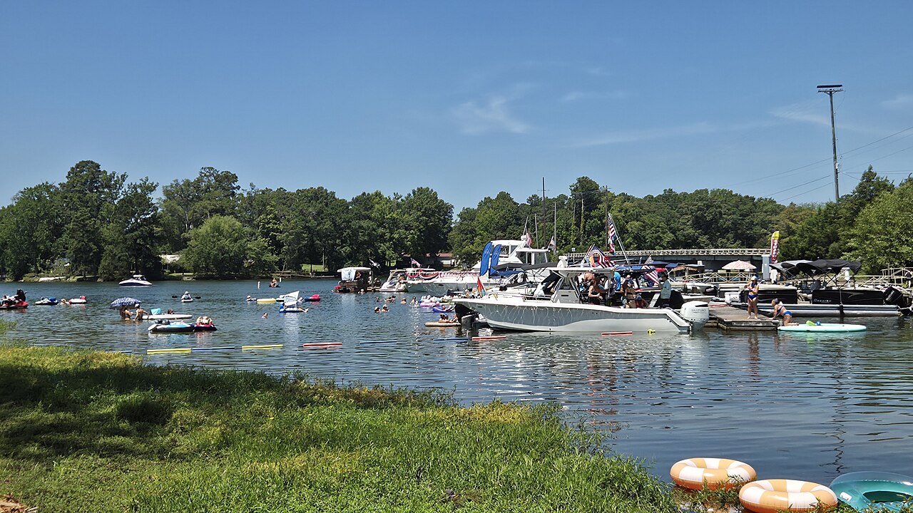
Lake Murray
Lake Murray covers about 50,000 acres west of Columbia, South Carolina, with roughly 650 miles of shoreline. It was impounded in the late 1920s to generate hydroelectric power, and Saluda Dam was the largest earthen dam in the world when it was completed in 1930. Public swimming is concentrated in county and utility-run parks on the eastern shore.
Coordinates34.0496, -97.0721
Surface area5,728 acres
Completed1935
Managed byOklahoma State Parks / USACE Tulsa District
Swimming beaches on Lake Murray
No named swimming beach is mapped yet for this lake. Access is through agency day-use areas and boat ramps listed below. We add beach pages only when we can confirm a name, coordinates and an operating agency.
Lake Murray on the map
Lake center, swimming spots and access points.
Weather and water temperature
Air temperature and wind from Open-Meteo. Water temperature only when the lake has a public sensor.
Weather data by Open-Meteo
Lake Murray at a glance
The Saluda River feeds the lake from the upstate, near the North Carolina line, and the dam holds it back just outside Columbia. The reservoir is named after the project's chief engineer, and it remains an operating hydroelectric plant rather than a purely recreational lake.
Access points cluster on the Columbia and Lexington side, where public parks provide sand beaches, ramps and picnic areas. Facilities and opening dates are set by the operators of each park, and swimming outside those parks is unsupervised. The shoreline elsewhere is largely private and residential.
The pool has held a narrow band recently: the U.S. Geological Survey gauge near Columbia has moved between 354.17 and 356.41 feet over the last 120 days, a swing of just over two feet. That stability keeps ramps and beaches usable through the summer season.
Swimming season runs from late spring into September, and the lake is also a well-known largemouth and striped bass fishery. Bird watchers come for the Purple Martin roost on Bomb Island, which draws large numbers of birds in mid-summer evenings.
Questions about Lake Murray
Can you swim in Lake Murray?
Yes, at the public parks on the Columbia and Lexington side of the lake. Most of the remaining shoreline is private, and swimming outside the parks is unsupervised.
What is the current water level at Lake Murray?
The USGS gauge near Columbia, South Carolina read 354.86 feet, near the middle of its range for the last four months.
How big is Lake Murray?
About 50,000 acres, with roughly 650 miles of shoreline.
When was Lake Murray built?
It was impounded in the late 1920s for hydroelectric power. Saluda Dam was finished in 1930 and was the largest earthen dam in the world at the time.
Lakes near Lake Murray
Other lakes in this guide, ordered by distance.
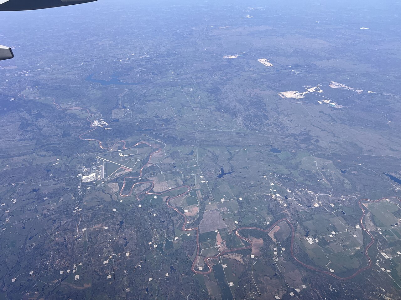
Lake of the Arbuckles
Fed by the Rock Creek, Lake of the Arbuckles holds roughly 3,127 acres of water in Oklahoma. Its shoreline falls inside Murray…
Reservoir1 beach
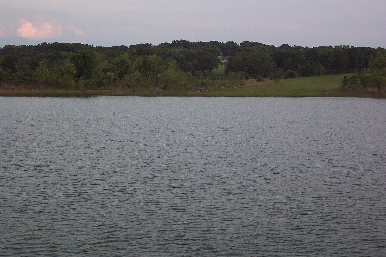
Lake Texoma
Lake Texoma is a 72,633-acre reservoir on the Red River in Texas. Its shoreline falls inside Marshall County. It is managed by…
97% fullReservoir
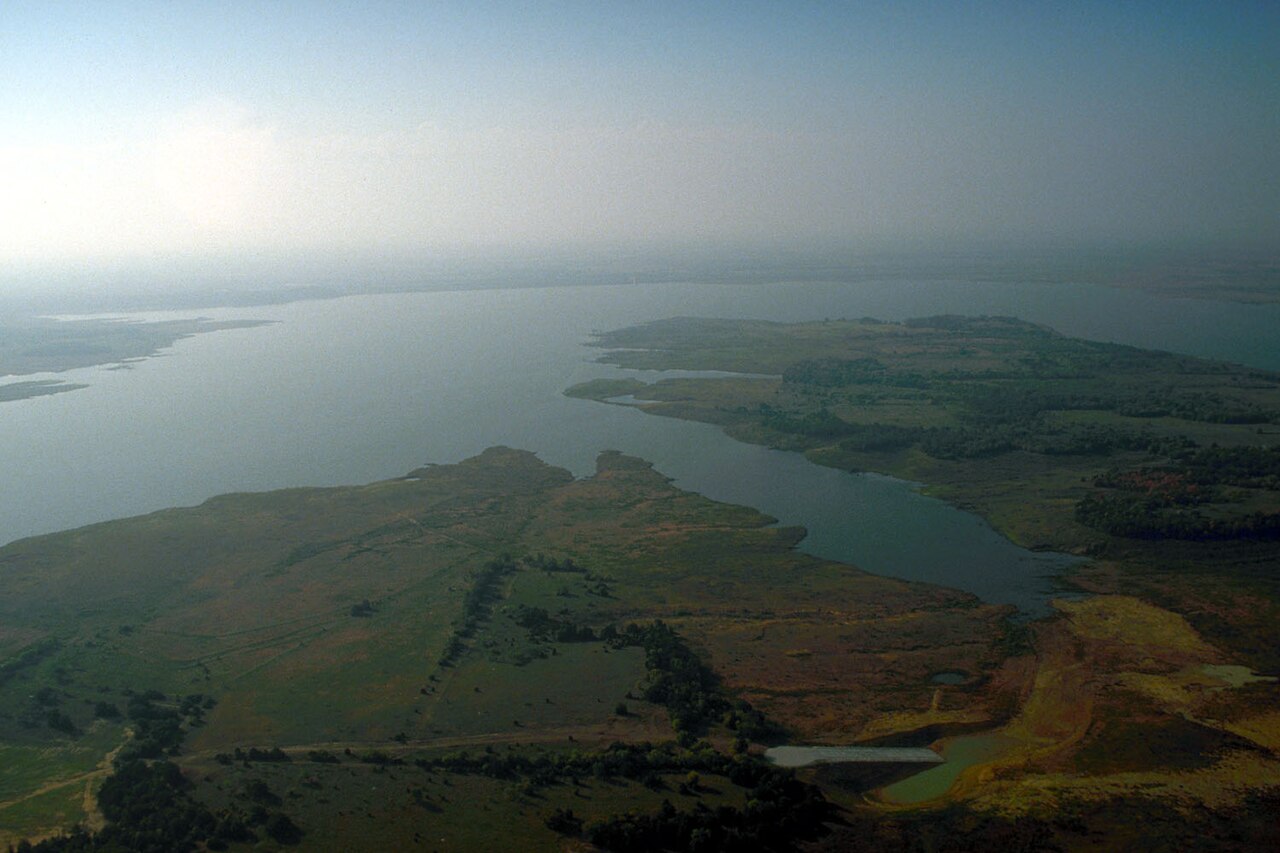
Lake Ray Roberts
Lake Ray Roberts is a 27,535-acre reservoir on the Elm Fork Trinity River in Texas. It lies in Denton County. Management is in…
95% fullReservoir
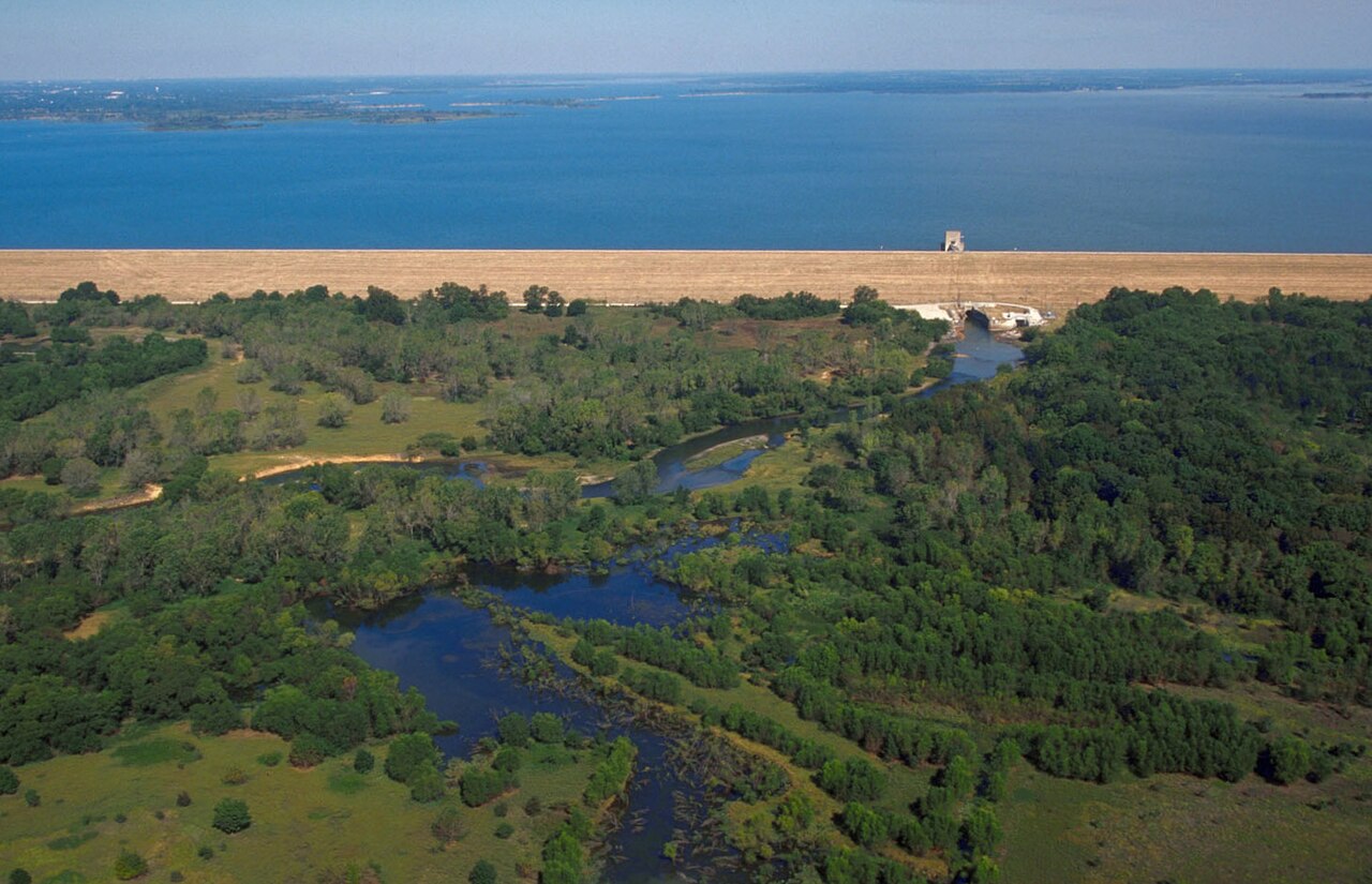
Lewisville Lake
Lewisville Lake is a 25,251-acre reservoir on the catchment = in Texas. Its shoreline falls inside Denton County. Management is…
87% fullReservoir
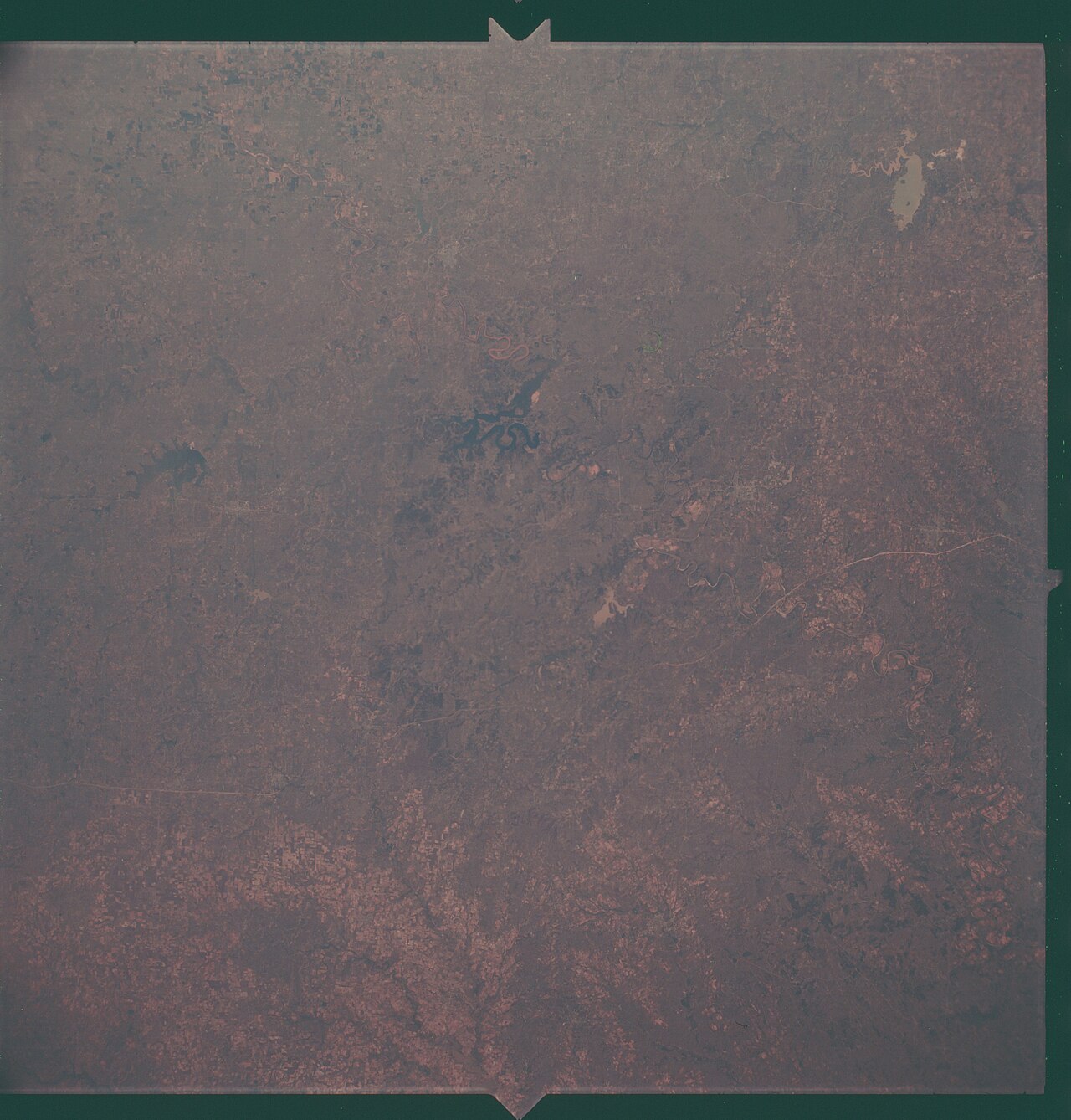
Lake Bridgeport
Fed by the Eagle Mountain Lake, Lake Bridgeport holds roughly 10,598 acres of water in Texas. The lake is in Wise County. Tarrant…
77% fullReservoir
Grapevine Lake
Grapevine Lake is a 6,202-acre reservoir on the Denton Creek in Texas. It lies in Denton County. It is managed by USACE Fort…
93% fullReservoir
Explore around Oklahoma
Sources
Every figure on this page comes from one of these public sources.