
CountiesVal Verde County
TexasReservoirVal Verde County
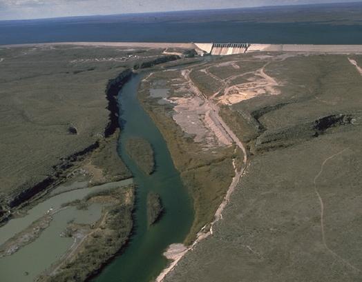
Amistad Reservoir
Fed by the Rio Grande, Amistad Reservoir holds roughly 20,756 acres of water in Texas. The lake is in Val Verde County. This guide maps 1 named swimming spot around its shoreline.
Coordinates29.4503, -101.0578
Surface area20,756 acres
Max depth217 ft
Full pool1,117.0 ft
Capacity1,813,408 acre-ft
RiverRio Grande
Completed1969
Swimming beaches on Amistad Reservoir
1 named swimming spot and shoreline access points, from USGS GNIS, Recreation.gov and the Forest Service. None is staffed by a lifeguard unless the operating agency posts one.
Amistad Reservoir on the map
Lake center, swimming spots and access points.
Weather and water temperature
Air temperature and wind from Open-Meteo. Water temperature only when the lake has a public sensor.
Weather data by Open-Meteo
Amistad Reservoir: access and conditions
Its coordinates are 29.4503, -101.0578. Surface elevation is about 1,117 feet. Water leaves through the Rio Grande. It was completed in 1969. Maximum depth is around 217 feet.
No public gauge reports the water level at Amistad Reservoir, so this page shows no level chart. We would rather leave the figure out than publish an estimate that nobody measured. Local marinas and park offices usually know the current state of the water better than any feed.
Around Amistad Reservoir this guide maps 1 named swimming spot. They include Amistad National Recreation Area. These come from Recreation.gov (RIDB). Unless the operating agency says otherwise, treat these as unsupervised swimming.
Nearby water includes Medina Lake (Texas, 125 mi), Twin Buttes Reservoir (Texas, 135 mi) and Lake Nasworthy (Texas, 138 mi). In all, 118 lakes in Texas are covered here.
No public sensor reports water temperature at Amistad Reservoir, so the panel shows air temperature and wind. Water quality is monitored unevenly on inland lakes, so posted notices are the most reliable guide. Swimming season in Texas runs through the warm months, and day-use areas set their own opening dates.
Questions about Amistad Reservoir
How full is Amistad Reservoir?
It was last reported at 39% of conservation capacity, holding 709,114 of 1,813,408 acre-feet.
What is full pool at Amistad Reservoir?
Full pool is 1,117.0 ft. Water above that level is flood storage and is released as conditions allow.
Can you swim in Amistad Reservoir?
Yes. This guide maps 1 named swimming spot around the lake, including Amistad National Recreation Area. None is staffed by a lifeguard unless the operating agency posts one.
How big is Amistad Reservoir?
About 20,756 acres. Maximum depth is around 217 feet.
What other lakes are near Amistad Reservoir?
The closest in this guide is Medina Lake, about 125 miles away in Texas.
Lakes near Amistad Reservoir
Other lakes in this guide, ordered by distance.
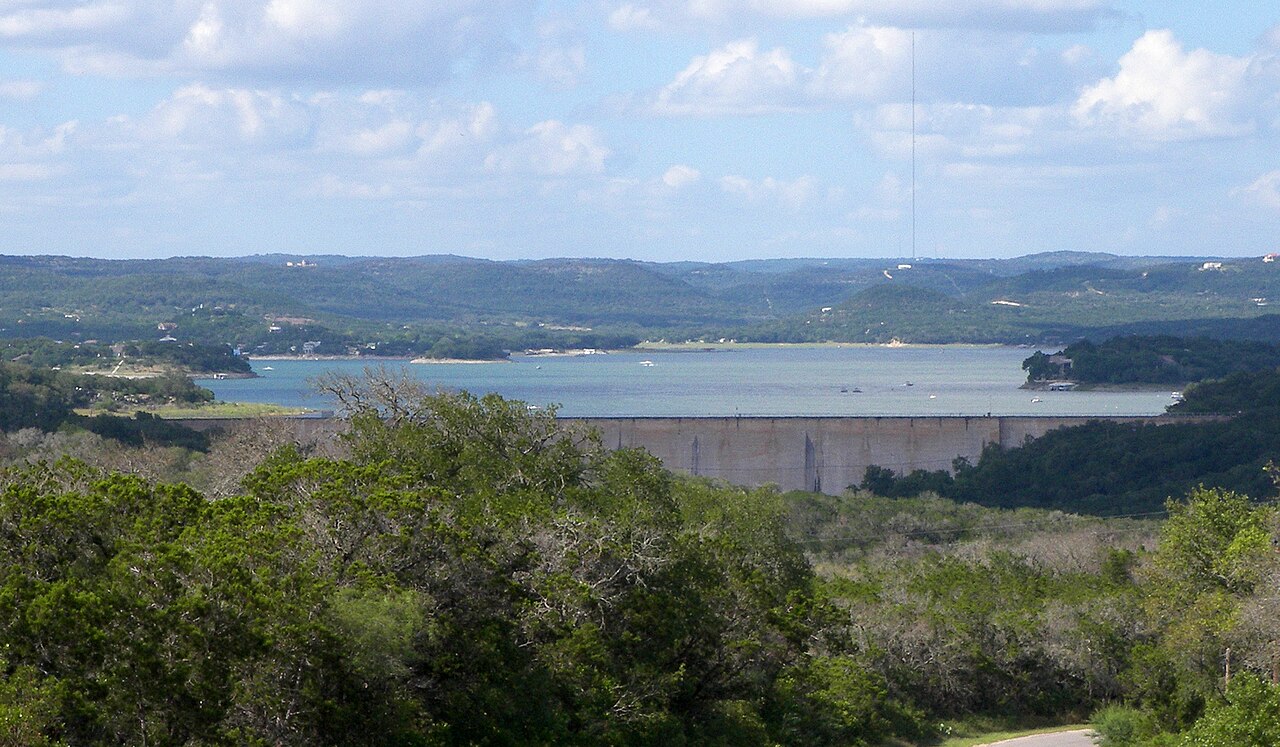
Medina Lake
Medina Lake is a 2,511-acre reservoir on the Medina River in Texas. You will find it in Bandera County. Bexar-Medina-Atascosa…
30% fullReservoir
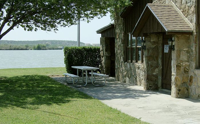
Lake Nasworthy
Lake Nasworthy is a 1,237-acre reservoir on the South Concho River in Texas. You will find it in Tom Green County. Management is…
86% fullReservoir
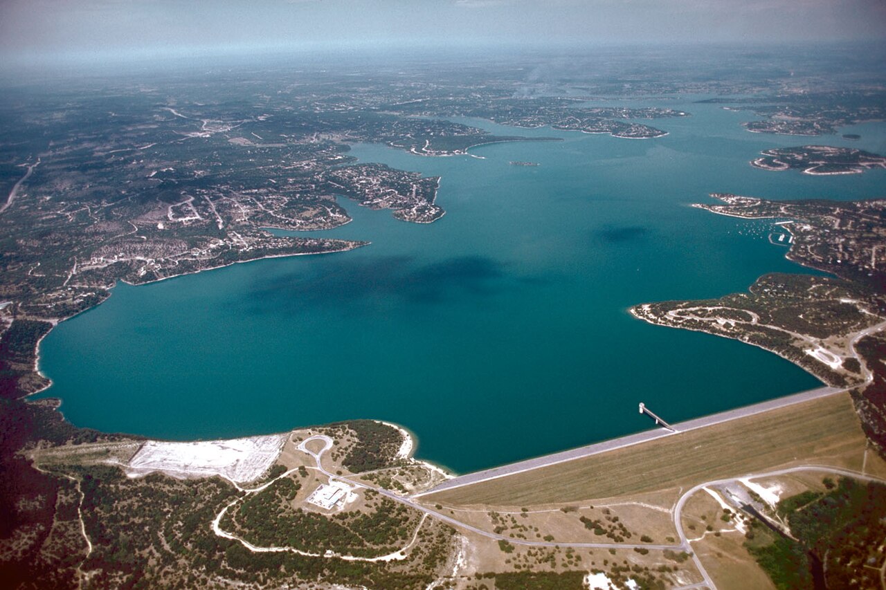
Canyon Lake
Fed by the Salt River, Canyon Lake holds roughly 950 acres of water in Arizona. It lies in Maricopa County. Management is in the…
100% fullReservoir
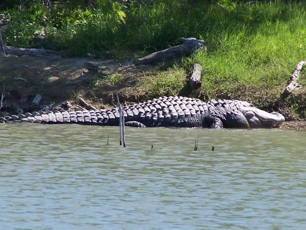
Choke Canyon Reservoir
Choke Canyon Reservoir covers about 10,589 acres of the Frio River in Texas. The lake is in Live Oak County. It is managed by…
23% fullReservoir1 beach
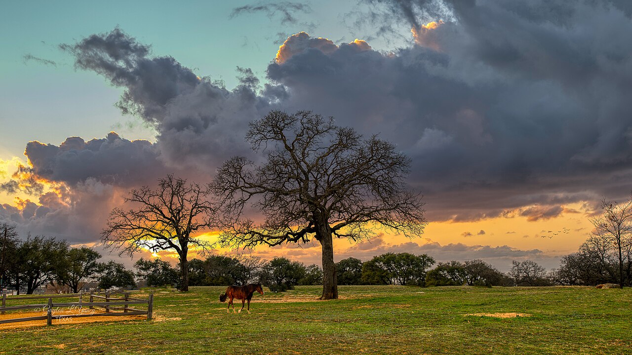
Lake Buchanan
Lake Buchanan is a reservoir of some 22,202 acres on the Colorado River, in Texas. The lake is in Llano County. It is managed by…
97% fullReservoir
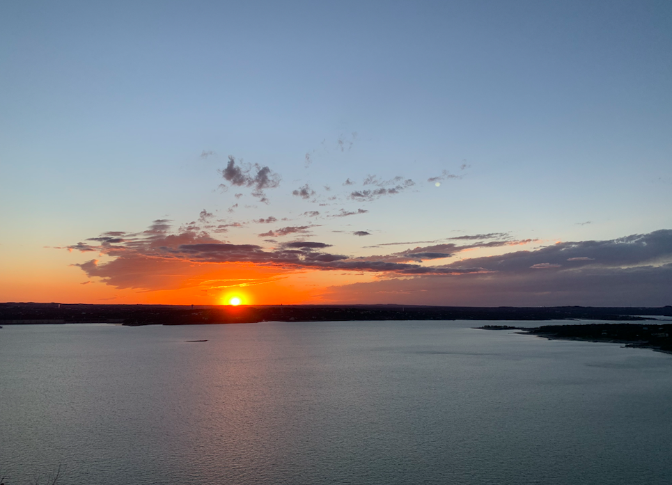
Lake Travis
Lake Travis is the Colorado River reservoir west of Austin, held back by Mandalay Dam and managed by the Lower Colorado River…
94% fullReservoir
Explore around Texas
Sources
Every figure on this page comes from one of these public sources.