
CountiesLlano County
TexasReservoirLlano County
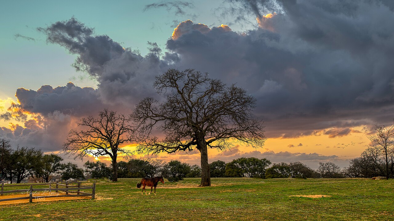
Lake Buchanan
Lake Buchanan is a reservoir of some 22,202 acres on the Colorado River, in Texas. The lake is in Llano County. It is managed by Lower Colorado River Authority (LCRA). The latest reading is 1,019.08 ft, 0.9 ft below the 1,020.0 ft full pool.
Water level today: 1,019.08 ft (97% full) · see the full record
Coordinates30.7518, -98.4187
Surface area22,202 acres
Max depth131 ft
Full pool1,020.0 ft
Capacity866,694 acre-ft
RiverColorado River
Managed byLower Colorado River Authority (LCRA)
Swimming beaches on Lake Buchanan
No named swimming beach is mapped yet for this lake. Access is through agency day-use areas and boat ramps listed below. We add beach pages only when we can confirm a name, coordinates and an operating agency.
Lake Buchanan on the map
Lake center, swimming spots and access points.
Weather and water temperature
Air temperature and wind from Open-Meteo. Water temperature only when the lake has a public sensor.
Weather data by Open-Meteo
Water level today
Readings come from station 08148000 (LCRA Lk Buchanan nr Burnet, TX). The top of the dam sits at 1,025.0 ft. The last value stored here, 1,019.08 ft, is from 2026-09-09. That put the reservoir at 97% of its conservation capacity. Conservation capacity is 866,694 acre-feet. Full pool is 1,020.0 ft. Water level decides what is usable on the shoreline, from beach width to ramp access.
1,019.08 ft trend not available
Lake Buchanan: beaches, ramps and water level
The center of the lake is at 30.7518, -98.4187. It reaches roughly 131 feet at its deepest. Outflow feeds the Colorado River. It lies at roughly 1,017 feet of elevation.
Readings come from station 08148000 (LCRA Lk Buchanan nr Burnet, TX). The top of the dam sits at 1,025.0 ft. The last value stored here, 1,019.08 ft, is from 2026-09-09. That put the reservoir at 97% of its conservation capacity. Conservation capacity is 866,694 acre-feet. Full pool is 1,020.0 ft. Water level decides what is usable on the shoreline, from beach width to ramp access.
Where there is no marked beach, entry is usually from a boat ramp or an unimproved bank. No named swimming beach is mapped at Lake Buchanan in the federal and state datasets this guide reads. Access is through whatever the operating agency provides on the ground, so check with them first.
Nearby water includes Inks Lake (Texas, 2 mi), Lake Lyndon B. Johnson (Texas, 14 mi) and Lake Marble Falls (Texas, 17 mi). Texas has 118 lakes on this site in total.
No public sensor reports water temperature at Lake Buchanan, so the panel shows air temperature and wind. Freshwater advisories are issued locally, so check the state health department before you swim. Swimming season in Texas runs through the warm months, and day-use areas set their own opening dates.
Questions about Lake Buchanan
Is there a beach at Lake Buchanan?
No named swimming beach appears in the federal and state datasets this guide reads. Check the operating agency for day-use areas on the ground.
How big is Lake Buchanan?
About 22,202 acres. Maximum depth is around 131 feet.
What other lakes are near Lake Buchanan?
The closest in this guide is Inks Lake, about 2 miles away in Texas.
Lakes near Lake Buchanan
Other lakes in this guide, ordered by distance.
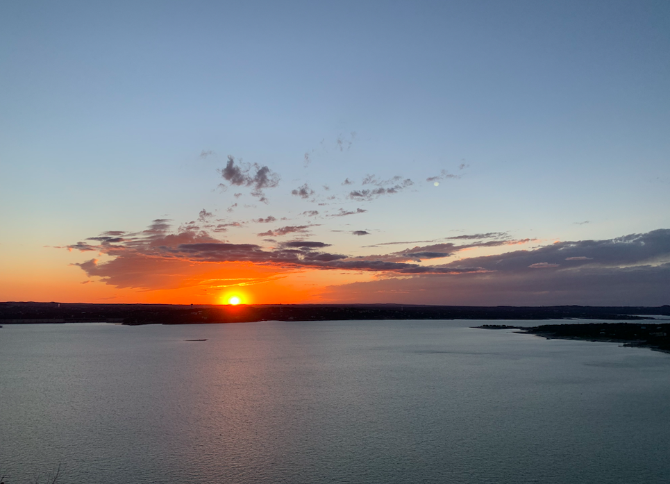
Lake Travis
Lake Travis is the Colorado River reservoir west of Austin, held back by Mandalay Dam and managed by the Lower Colorado River…
94% fullReservoir
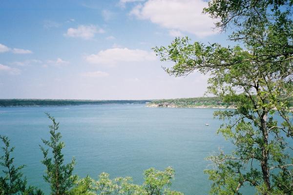
Lake Georgetown
Fed by the North Fork San Gabriel River, Lake Georgetown holds roughly 1,162 acres of water in Texas. You will find it in…
82% fullReservoir
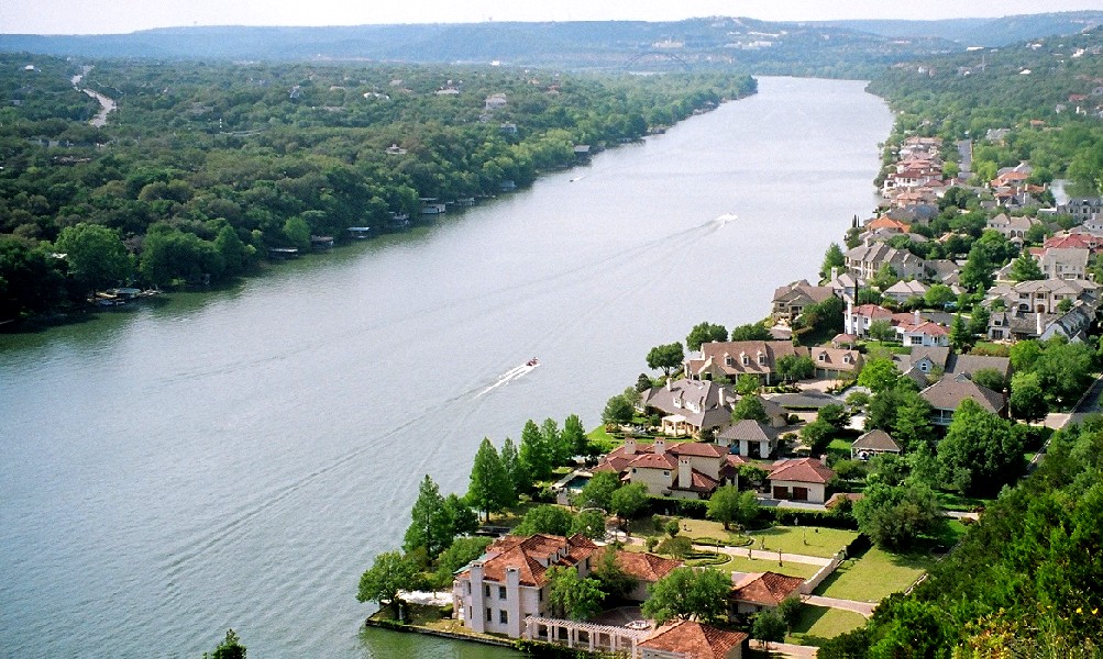
Lake Austin
Lake Austin is a 1,557-acre reservoir on the Colorado River in Texas. You will find it in Travis County. Management is in the…
97% fullReservoir
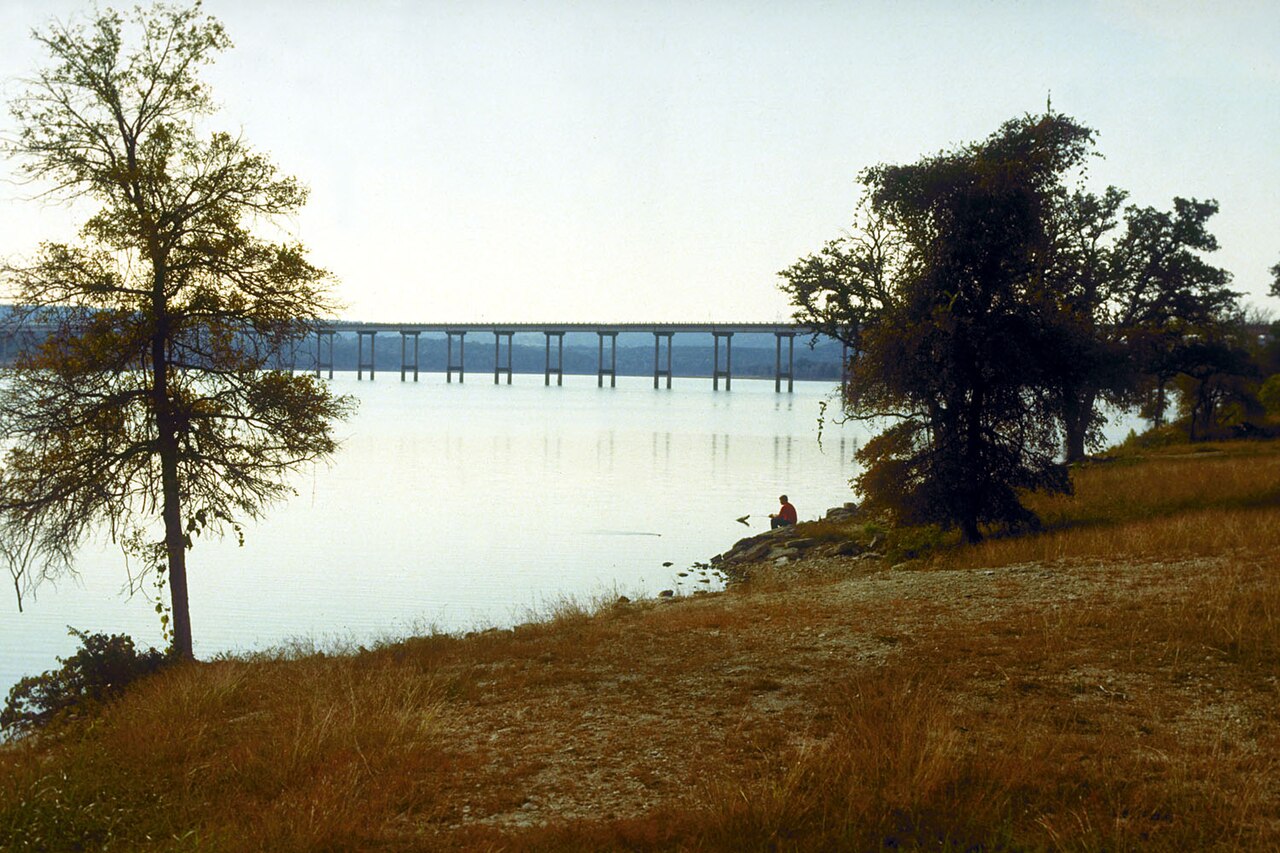
Stillhouse Hollow Lake
Stillhouse Hollow Lake covers about 6,331 acres of the Lampasas River in Texas. You will find it in Bell County. USACE Fort Worth…
98% fullReservoir
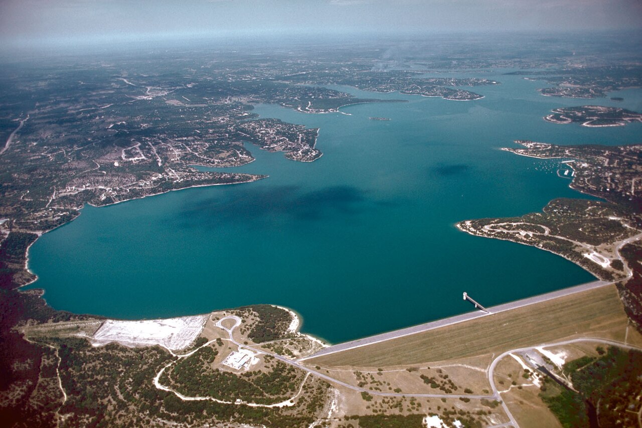
Canyon Lake
Fed by the Salt River, Canyon Lake holds roughly 950 acres of water in Arizona. It lies in Maricopa County. Management is in the…
100% fullReservoir
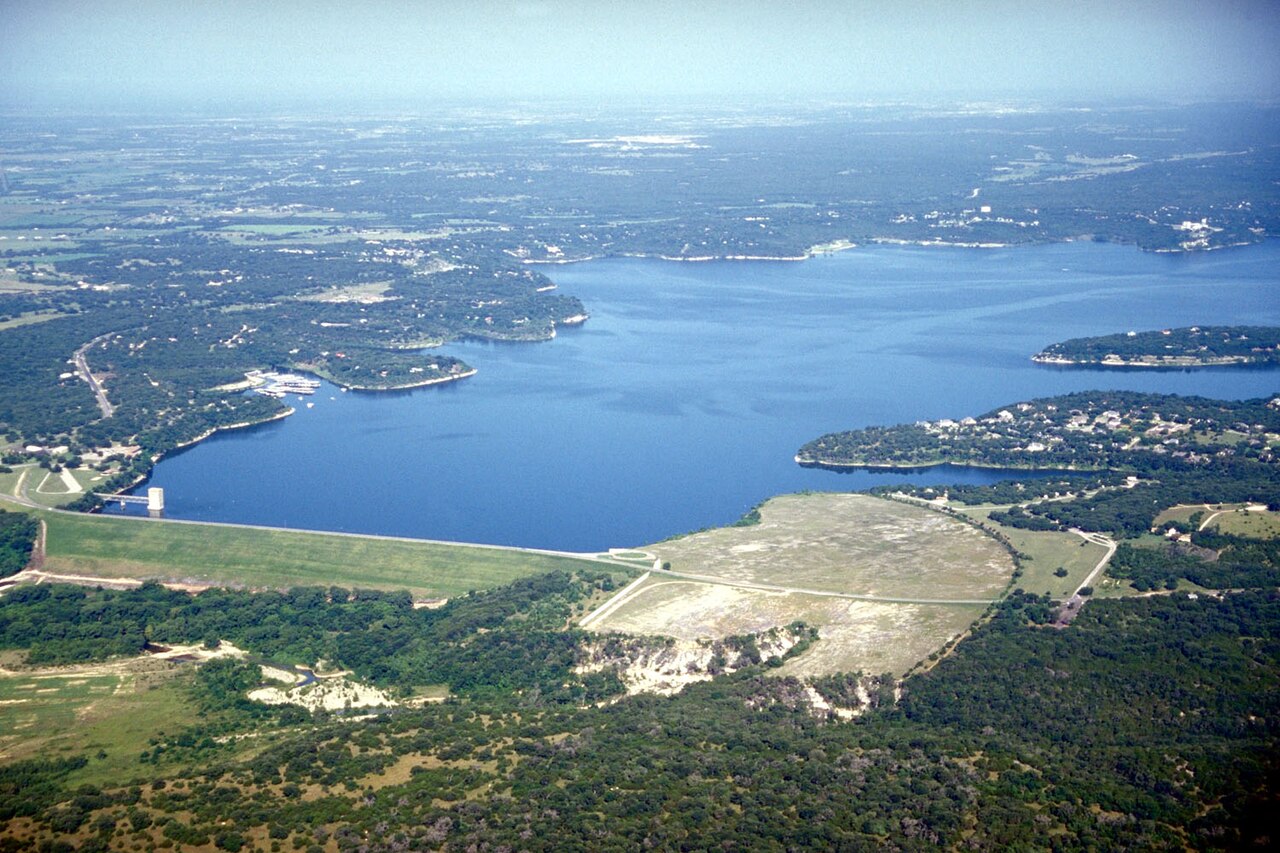
Belton Lake
Belton Lake is a 12,177-acre reservoir on the Leon River in Texas. The lake is in Bell County. USACE Fort Worth District manages…
97% fullReservoir
Explore around Texas
All lakes in Texas Swimming spots in Texas Lakes near Copperas Cove
Sources
Every figure on this page comes from one of these public sources.