
CountiesComal County
TexasReservoirComal County
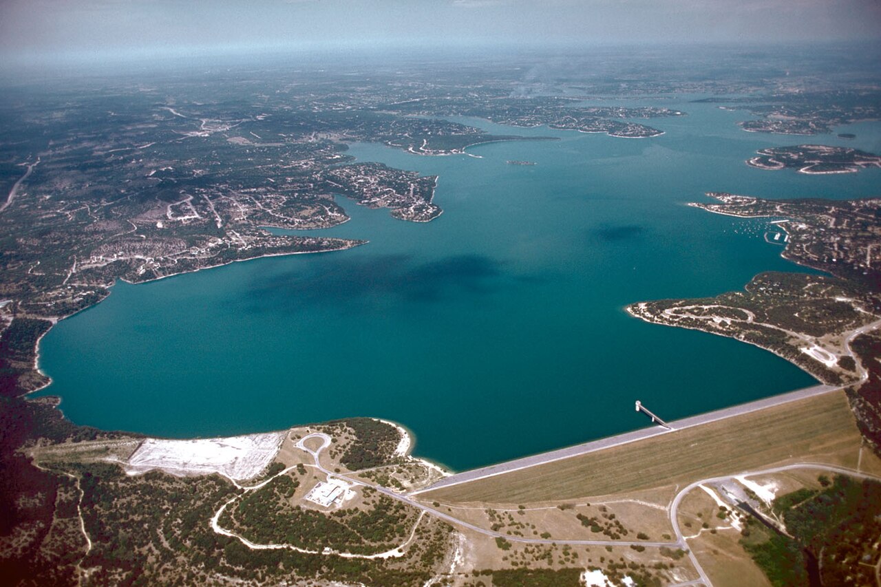
Canyon Lake
Fed by the Salt River, Canyon Lake holds roughly 950 acres of water in Arizona. It lies in Maricopa County. Management is in the hands of USDA Forest Service / SRP.
Water level today: 908.90 ft (100% full) · see the full record
Coordinates29.8814, -98.2400
Surface area8,225 acres
Max depth134 ft
Full pool909.0 ft
Capacity378,781 acre-ft
RiverGuadalupe River
Managed byUSACE Fort Worth District
Swimming beaches on Canyon Lake
No named swimming beach is mapped yet for this lake. Access is through agency day-use areas and boat ramps listed below. We add beach pages only when we can confirm a name, coordinates and an operating agency.
Canyon Lake on the map
Lake center, swimming spots and access points.
Weather and water temperature
Air temperature and wind from Open-Meteo. Water temperature only when the lake has a public sensor.
Weather data by Open-Meteo
Water level today
Canyon Lake has no public water level gauge that we can read, so there is no level chart here. An invented number would be worse than none. Where an agency publishes a figure, we show it with the time it was taken; here there is none.
908.90 ft -0.28 ft in 7 days
Canyon Lake: access and conditions
Canyon Lake sits at 33.5436, -111.4370. Releases go downstream into the Salt River. Maximum depth is around 130 feet. The surface sits around 1,660 feet above sea level.
Season dates vary by park; the operating agency publishes them each spring. No public sensor reports water temperature at Canyon Lake, so the panel shows air temperature and wind. Check the operating agency for advisories before any water contact, especially for blue-green algae in late summer.
Canyon Lake has no public water level gauge that we can read, so there is no level chart here. An invented number would be worse than none. Where an agency publishes a figure, we show it with the time it was taken; here there is none.
The federal and state datasets behind this guide list no named beach at Canyon Lake. That does not mean there is no access, only that none is catalogued. Where there is no marked beach, entry is usually from a boat ramp or an unimproved bank.
The closest lakes in this guide are Saguaro Lake (Arizona, 5 mi), Apache Lake (Arizona, 10 mi) and Theodore Roosevelt Lake (Arizona, 19 mi). In all, 14 lakes in Arizona are covered here.
Recreation areas on Canyon Lake
9 public recreation areas mapped around the lake by the U.S. Army Corps of Engineers. Facilities vary by area; check the managing office for opening dates and fees.
Jacobs Creek Fort Sam Houston Recreation Area Randolph Afb Recreation Area Comal North Park Canyon Park Guadalupe Park Potter'S Creek Park Cranes Mill
Source: USACE Recreation Areas
Boat ramps and access points
Public launch points recorded around the lake. Low water can close shallow ramps, so check the level before hauling a trailer.
| Name | Operated by | Distance | Source |
|---|---|---|---|
| Lake Forest Ramp | USACE | 1.2 mi | source |
| Lake Hills East Ramp | USACE | 1.5 mi | source |
| Lake Hills West Ramp | USACE | 1.7 mi | source |
| Lake Village West Ramp | Local Government Agency | 1.9 mi | source |
| Springs Resort Ramp | USACE | 2.7 mi | source |
| Lake Village East Ramp | Local Government Agency | 2.9 mi | source |
| Lake Shores Ramp | USACE | 3.0 mi | source |
Ramp data: USACE Recreation Areas
Questions about Canyon Lake
Is there a beach at Canyon Lake?
No named swimming beach appears in the federal and state datasets this guide reads. Check the operating agency for day-use areas on the ground.
How big is Canyon Lake?
About 950 acres. Maximum depth is around 130 feet.
What other lakes are near Canyon Lake?
The closest in this guide is Saguaro Lake, about 5 miles away in Arizona.
Lakes near Canyon Lake
Other lakes in this guide, ordered by distance.
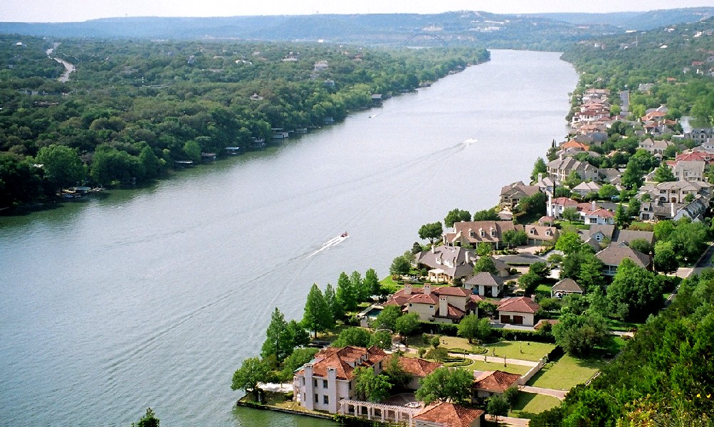
Lake Austin
Lake Austin is a 1,557-acre reservoir on the Colorado River in Texas. You will find it in Travis County. Management is in the…
97% fullReservoir
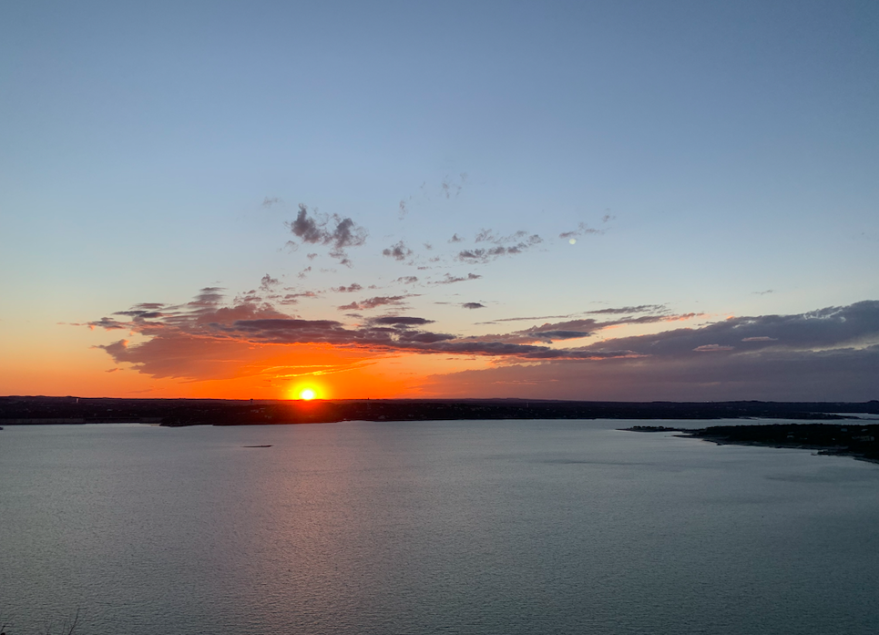
Lake Travis
Lake Travis is the Colorado River reservoir west of Austin, held back by Mandalay Dam and managed by the Lower Colorado River…
94% fullReservoir
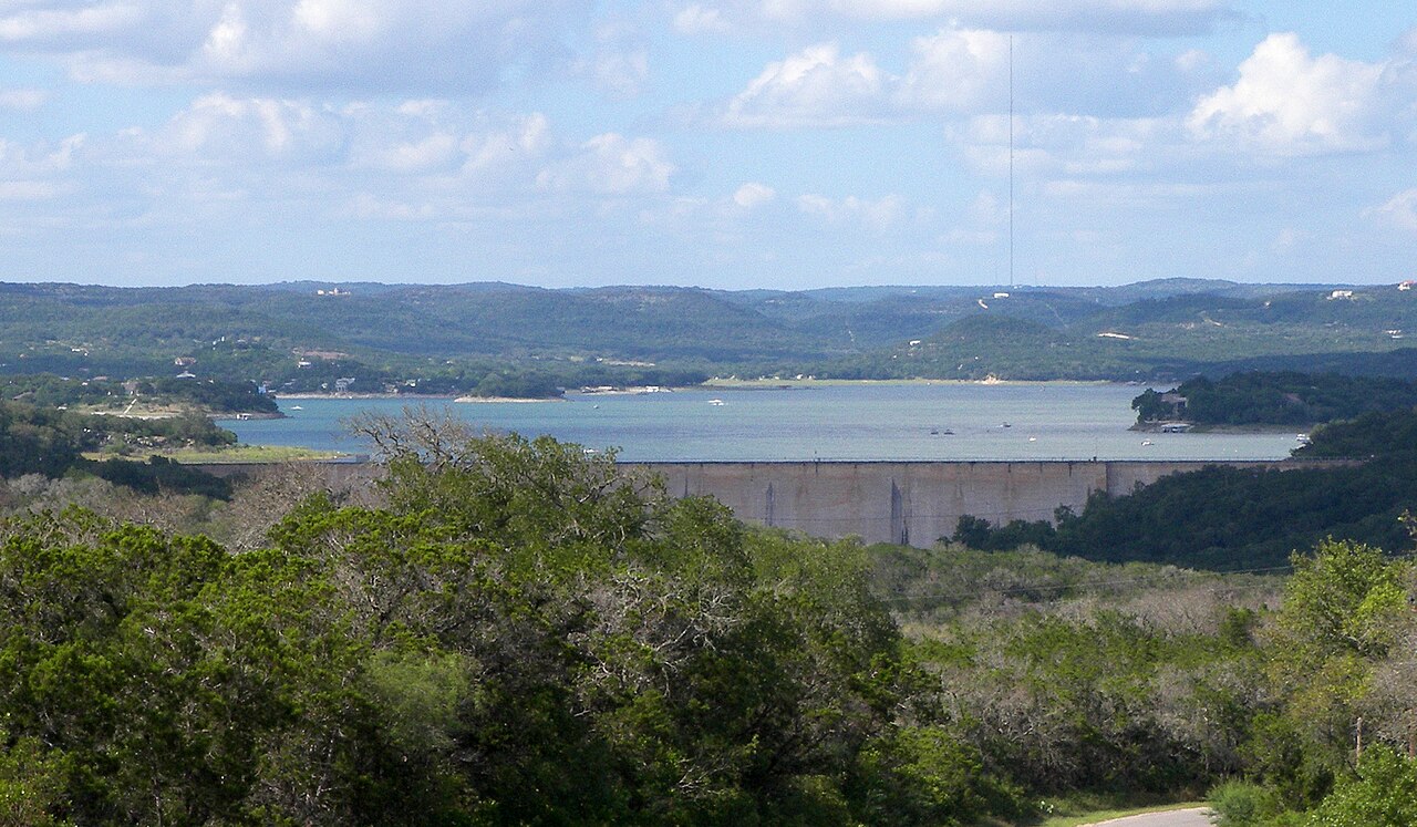
Medina Lake
Medina Lake is a 2,511-acre reservoir on the Medina River in Texas. You will find it in Bandera County. Bexar-Medina-Atascosa…
30% fullReservoir
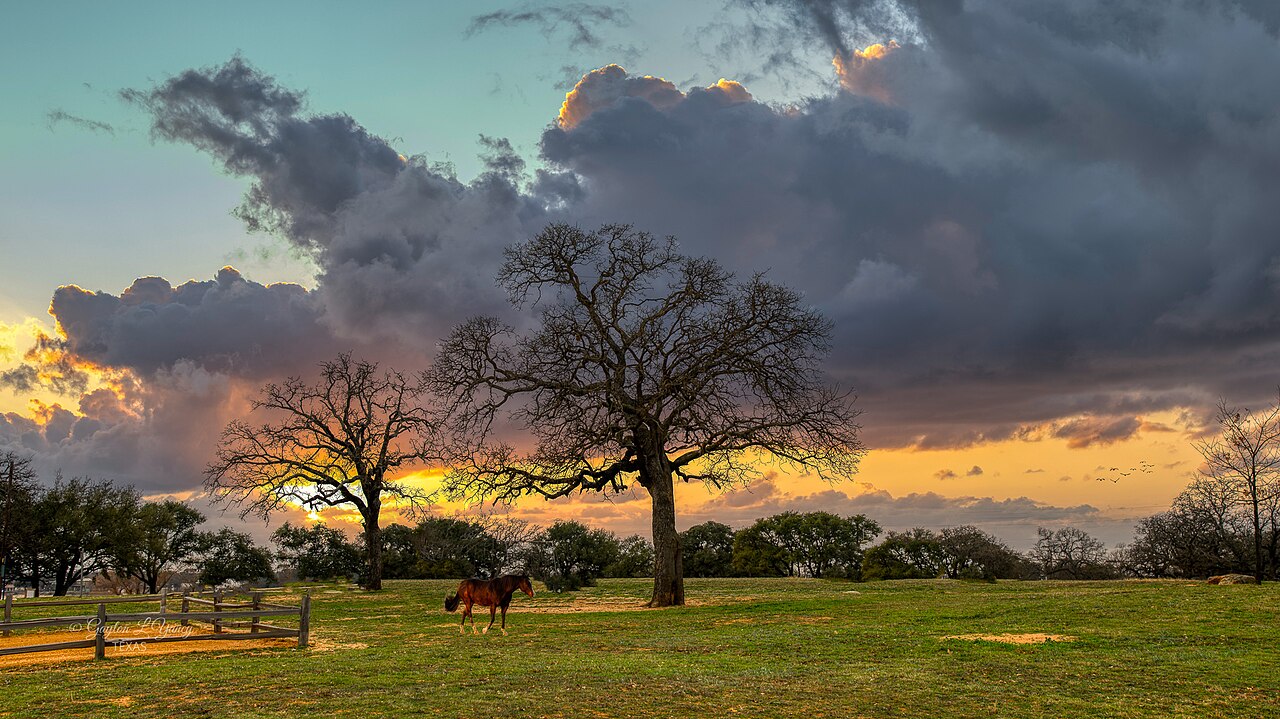
Lake Buchanan
Lake Buchanan is a reservoir of some 22,202 acres on the Colorado River, in Texas. The lake is in Llano County. It is managed by…
97% fullReservoir
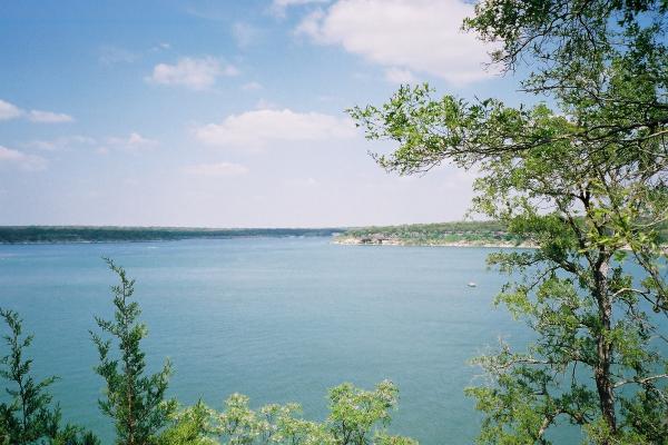
Lake Georgetown
Fed by the North Fork San Gabriel River, Lake Georgetown holds roughly 1,162 acres of water in Texas. You will find it in…
82% fullReservoir
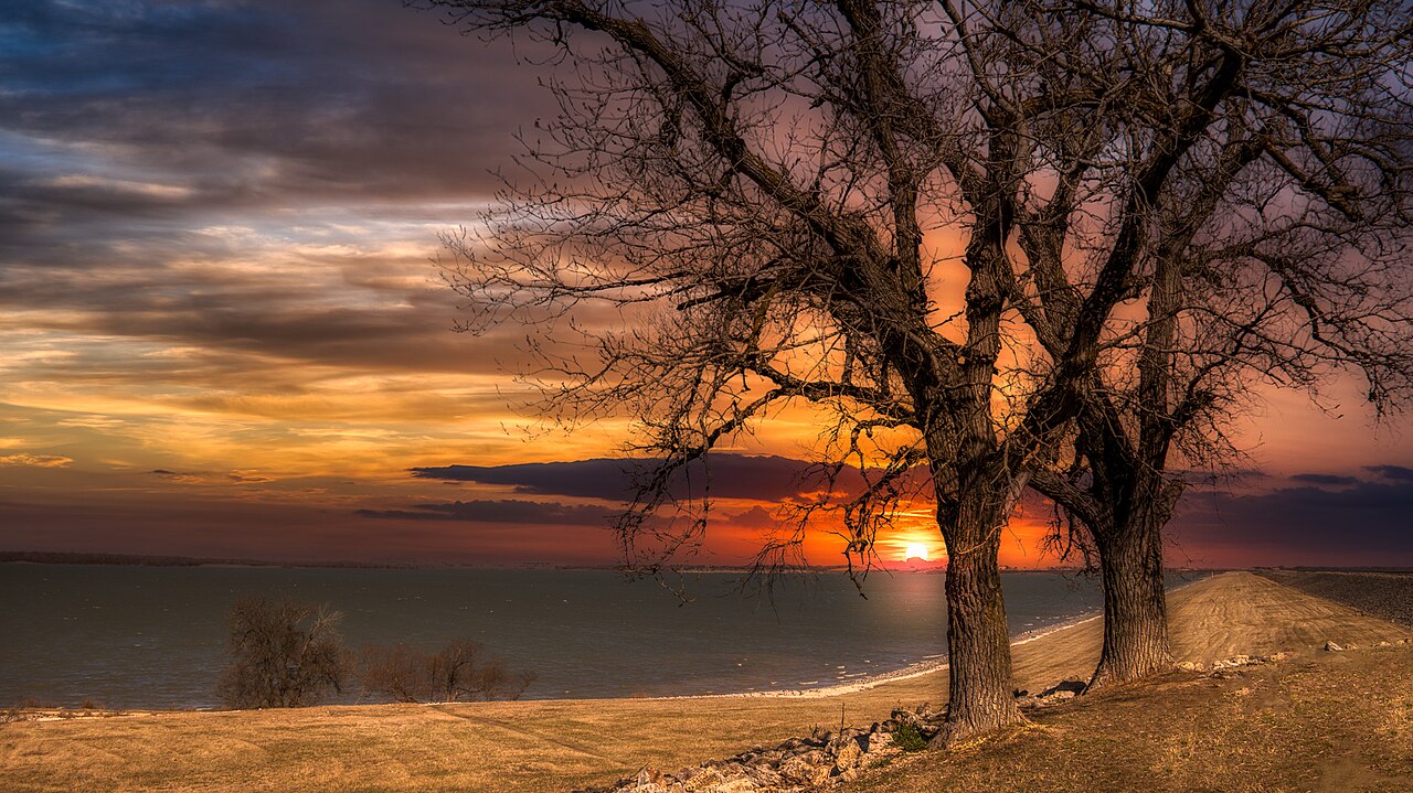
Granger Lake
Granger Lake is a reservoir of some 4,064 acres on the San Gabriel River, in Texas. Its shoreline falls inside Williamson County.…
100% fullReservoir
Explore around Texas
All lakes in Texas Swimming spots in Texas Lakes near Apache Junction Lakes near Fountain Hills
Sources
Every figure on this page comes from one of these public sources.