
CountiesDelaware County
OklahomaReservoirDelaware County
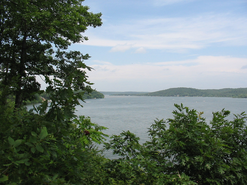
Grand Lake o' the Cherokees
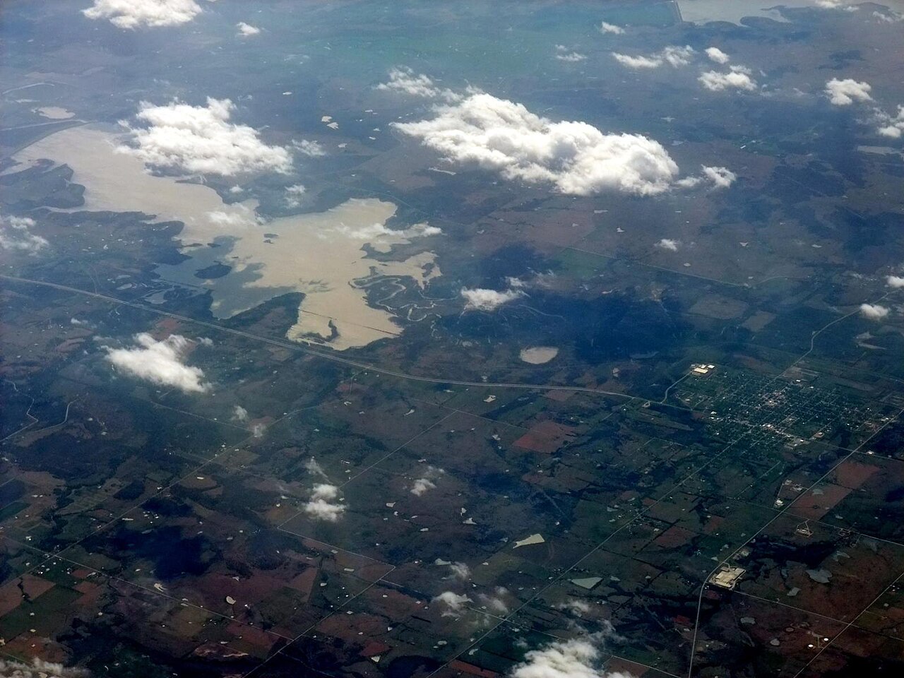
Fed by the Neosho River, Grand Lake o' the Cherokees holds roughly 46,456 acres of water in Oklahoma. Its shoreline falls inside Delaware County. Management is in the hands of Grand River Dam Authority (GRDA). The gauge last read 742.67 ft.
Coordinates36.6119, -94.8415
Surface area46,456 acres
RiverNeosho River
Managed byGrand River Dam Authority (GRDA)
Swimming beaches on Grand Lake o' the Cherokees
No named swimming beach is mapped yet for this lake. Access is through agency day-use areas and boat ramps listed below. We add beach pages only when we can confirm a name, coordinates and an operating agency.
Grand Lake o' the Cherokees on the map
Lake center, swimming spots and access points.
Weather and water temperature
Air temperature and wind from Open-Meteo. Water temperature only when the lake has a public sensor.
Weather data by Open-Meteo
Grand Lake o' the Cherokees: access and conditions
The center of the lake is at 36.6119, -94.8415. The Neosho River carries the outflow. It lies at roughly 745 feet of elevation.
The nearest mapped swimming spot is Sequoyah State Park on Fort Gibson Lake, roughly 52 miles away. No named swimming beach is mapped at Grand Lake o' the Cherokees in the federal and state datasets this guide reads. Access is through whatever the operating agency provides on the ground, so check with them first. Where there is no marked beach, entry is usually from a boat ramp or an unimproved bank.
Station 07190000, Lake O' the Cherokees at Langley, OK, publishes the water surface elevation used here. The last value stored here, 742.67 ft, is from 2026-09-09. Check the reading the morning you go if your plan depends on a specific ramp.
Most Oklahoma day-use areas open for the summer season and close outside it. Algae blooms are seasonal and local: look for posted signs at the ramp or park entrance. Water temperature is not measured at this lake by any public agency we read.
If Grand Lake o' the Cherokees is busy, the nearest alternatives here are Spavinaw Lake (Oklahoma, 18 mi), Lake Eucha (Oklahoma, 19 mi) and Lake Hudson (Oklahoma, 32 mi). In all, 40 lakes in Oklahoma are covered here.
Questions about Grand Lake o' the Cherokees
What is the current water level at Grand Lake o' the Cherokees?
The latest reading is 742.67 ft, from USGS gauge 07190000.
Is there a beach at Grand Lake o' the Cherokees?
No named swimming beach appears in the federal and state datasets this guide reads. Check the operating agency for day-use areas on the ground.
How big is Grand Lake o' the Cherokees?
About 46,456 acres.
What other lakes are near Grand Lake o' the Cherokees?
The closest in this guide is Spavinaw Lake, about 18 miles away in Oklahoma.
Lakes near Grand Lake o' the Cherokees
Other lakes in this guide, ordered by distance.
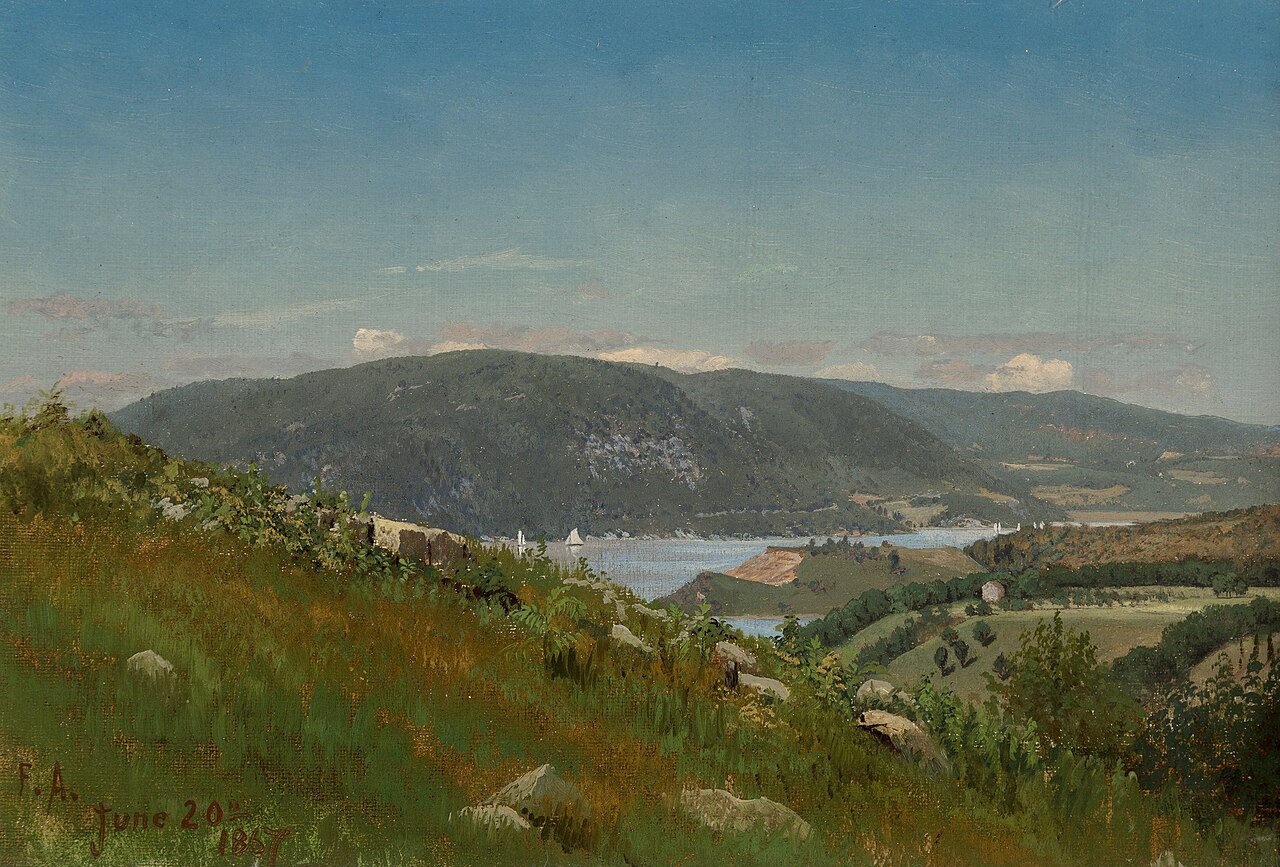
Lake Hudson
Lake Hudson is a 12,000-acre reservoir in Oklahoma. The lake is in Mayes County. It is managed by Grand River Dam Authority…
Reservoir
Oologah Lake
Oologah Lake covers about 29,000 acres of the Verdigris River in Oklahoma. You will find it in Rogers County. It is managed by…
Reservoir
Beaver Lake
At roughly 28,200 acres, Beaver Lake is one of the lakes covered in Arkansas. The lake is in Washington County. Management is in…
Reservoir
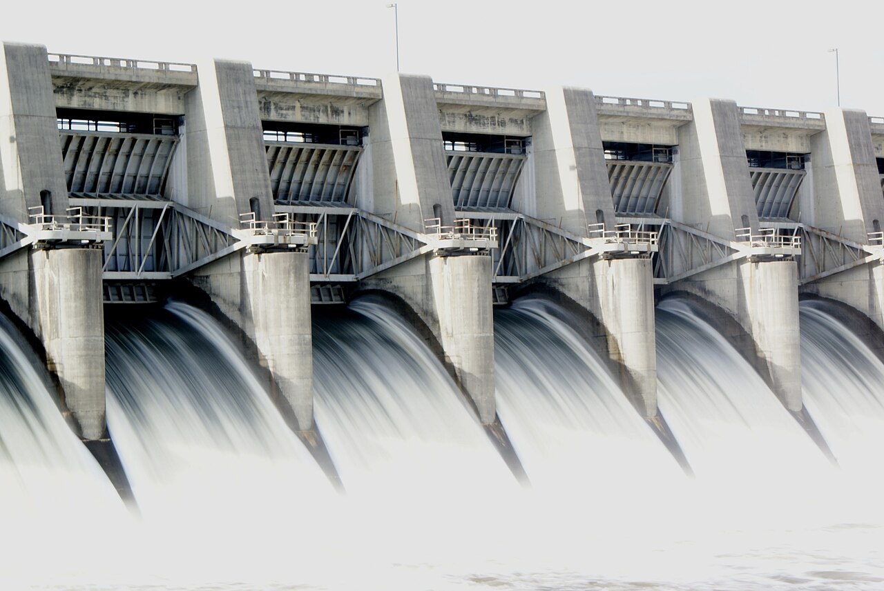
Fort Gibson Lake
At roughly 9,093 acres, Fort Gibson Lake is one of the lakes covered in Oklahoma. Its shoreline falls inside Wagoner County.…
Reservoir1 beach
Copan Lake
Copan Lake is a 4,850-acre reservoir in Oklahoma. You will find it in Washington County. It is managed by USACE Tulsa District.…
Reservoir1 beach
Tenkiller Ferry Lake
Tenkiller Ferry Lake is a reservoir of some 12,900 acres on the Illinois River, in Oklahoma. Its shoreline falls inside Cherokee…
Reservoir1 beach
Explore around Oklahoma
All lakes in Oklahoma Swimming spots in Oklahoma Lakes near Siloam Springs
Sources
Every figure on this page comes from one of these public sources.