
Coordinates46.6486, -111.7275
MontanaReservoir
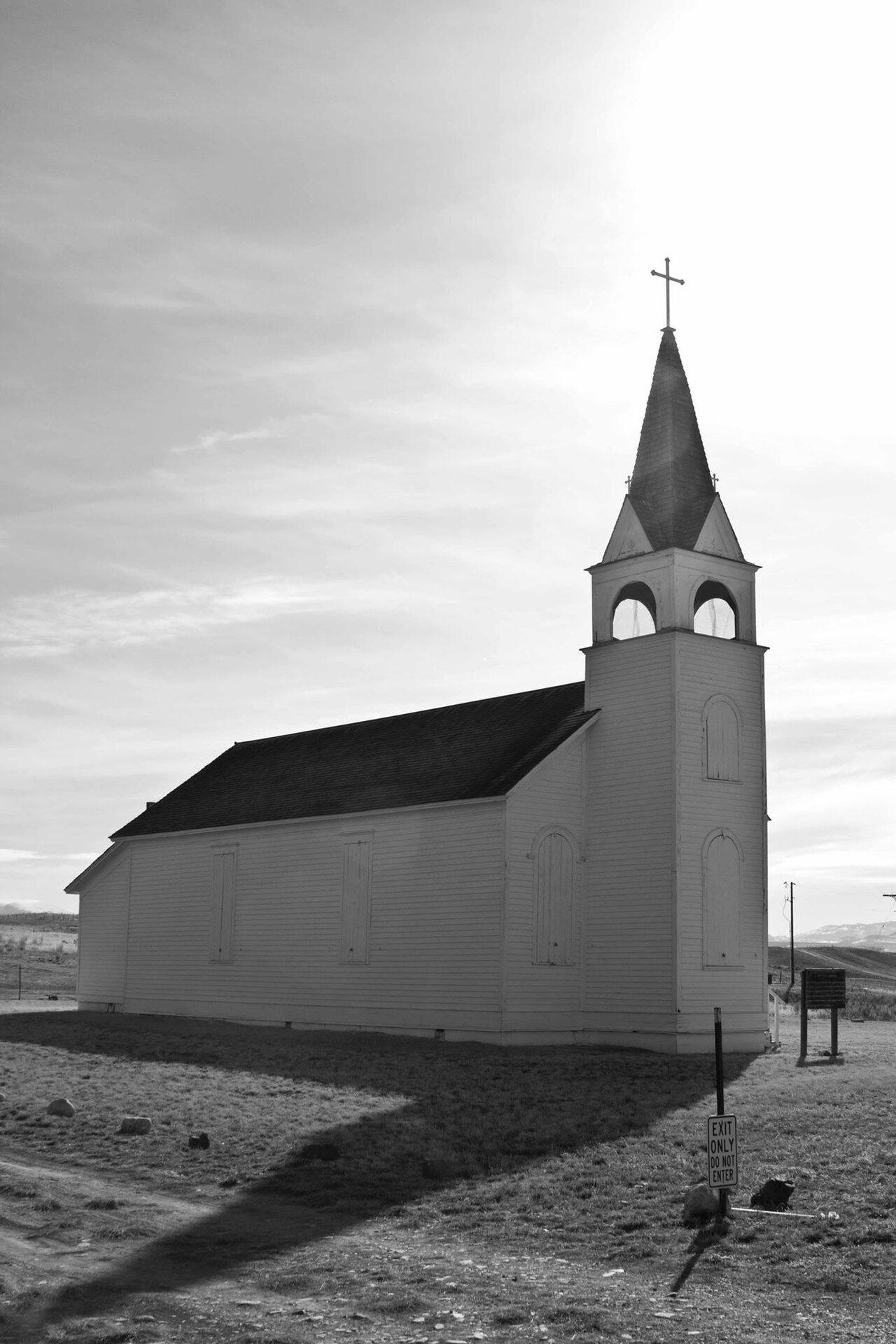
Canyon Ferry Lake
Canyon Ferry Lake is a 33,534-acre reservoir on the Missouri River in Montana. It is managed by USBR Montana Area Office. This guide maps 1 named swimming spot around its shoreline.
Surface area33,534 acres
Max depth166 ft
RiverMissouri River
Managed byUSBR Montana Area Office
Swimming beaches on Canyon Ferry Lake
1 named swimming spot and shoreline access points, from USGS GNIS, Recreation.gov and the Forest Service. None is staffed by a lifeguard unless the operating agency posts one.
Canyon Ferry Lake on the map
Lake center, swimming spots and access points.
Weather and water temperature
Air temperature and wind from Open-Meteo. Water temperature only when the lake has a public sensor.
Weather data by Open-Meteo
Canyon Ferry Lake at a glance
Canyon Ferry Lake sits at 46.6486, -111.7275. The Missouri River carries the outflow. Maximum depth is around 166 feet. It lies at roughly 3,799 feet of elevation.
Around Canyon Ferry Lake this guide maps 1 named swimming spot. Black Sandy Beach are on the list. These come from wikidata. Unless the operating agency says otherwise, treat these as unsupervised swimming.
For a lake this size, the park office is the fastest way to learn how the water sits today. No public gauge reports the water level at Canyon Ferry Lake, so this page shows no level chart. We would rather leave the figure out than publish an estimate that nobody measured.
Water temperature is not measured at this lake by any public agency we read. If the water looks like pea soup or paint, stay out and report it to the managing agency. Swimming season in Montana runs through the warm months, and day-use areas set their own opening dates.
The closest lakes in this guide are Helena Valley Reservoir (Montana, 7 mi), Pishkun Reservoir (Montana, 80 mi) and Georgetown Lake (Montana, 81 mi). In all, 21 lakes in Montana are covered here.
Questions about Canyon Ferry Lake
Can you swim in Canyon Ferry Lake?
Yes. This guide maps 1 named swimming spot around the lake, including Black Sandy Beach. None is staffed by a lifeguard unless the operating agency posts one.
How big is Canyon Ferry Lake?
About 33,534 acres. Maximum depth is around 166 feet.
What other lakes are near Canyon Ferry Lake?
The closest in this guide is Helena Valley Reservoir, about 7 miles away in Montana.
Lakes near Canyon Ferry Lake
Other lakes in this guide, ordered by distance.
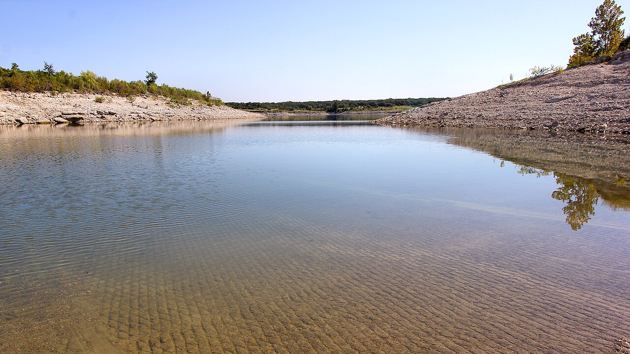
Georgetown Lake
Georgetown Lake is a 2,818-acre reservoir on the North Fork Flint Creek in Montana. It lies in Granite County. Management is in…
Reservoir1 beach
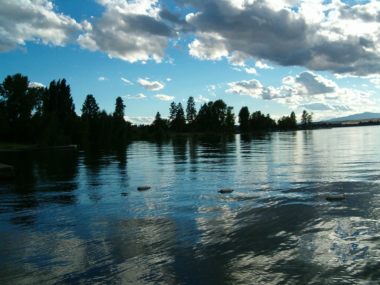
Flathead Lake
Fed by the Flathead River, Flathead Lake holds roughly 126,024 acres of water in Montana. Its shoreline falls inside Lake County.…
Natural lake3 beaches
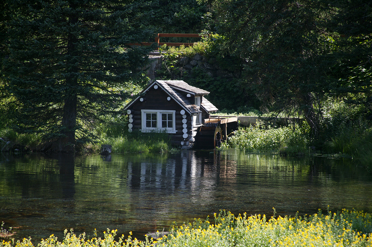
Island Park Reservoir
Island Park Reservoir is a 3,958-acre reservoir in Idaho. You will find it in Fremont County. It is managed by USDA Forest…
Reservoir
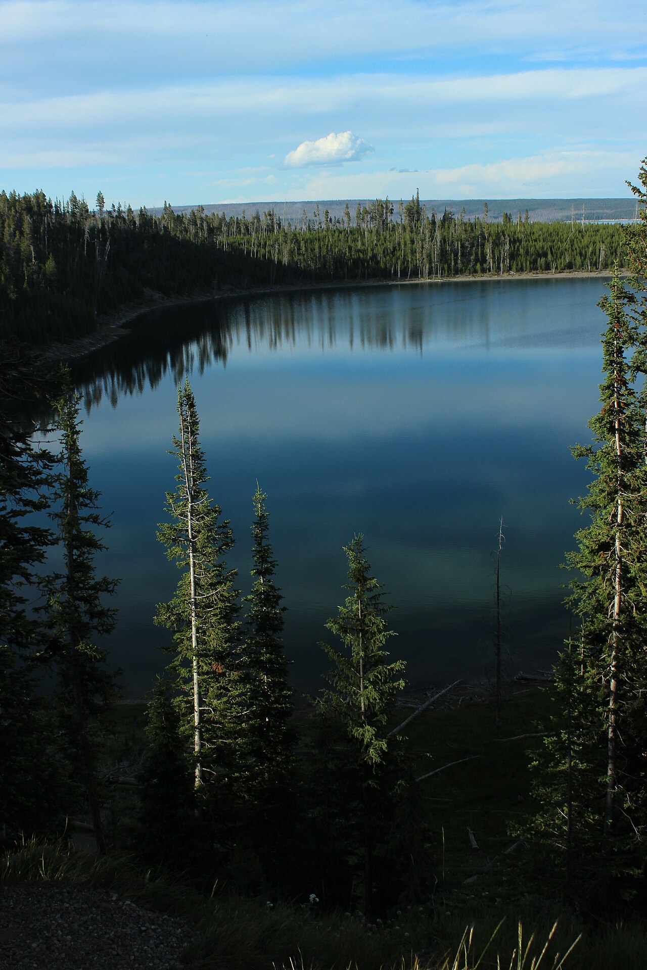
Yellowstone Lake
Yellowstone Lake covers about 87,475 acres of the Yellowstone River in Wyoming. Its shoreline falls inside Teton County.…
Natural lake3 beaches
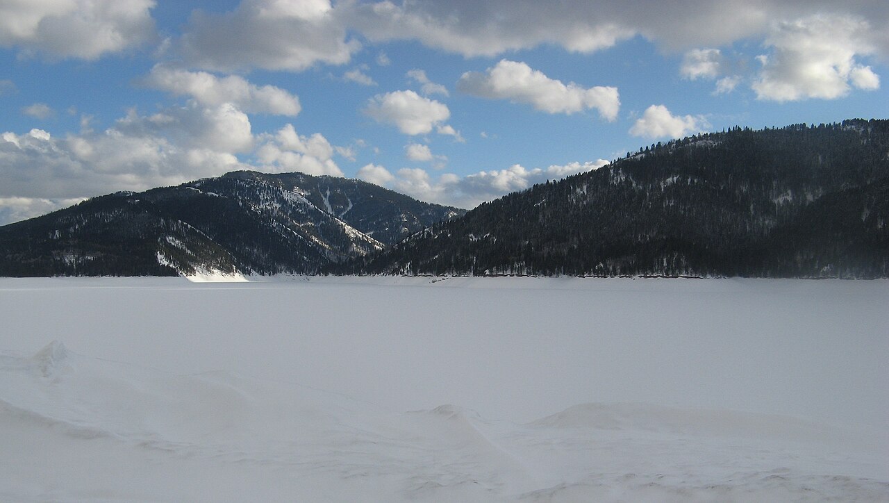
Palisades Reservoir
Palisades Reservoir covers about 16,000 acres in Idaho. It lies in Bonneville County. USFS Caribou-Targhee NF / USBR manages it.
Reservoir
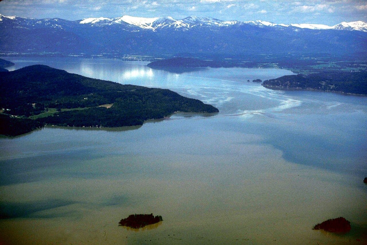
Lake Pend Oreille
Lake Pend Oreille is a lake of some 94,641 acres on the Pend Oreille River, in Idaho. Its shoreline falls inside Bonner County.…
Natural lake4 beaches
Explore around Montana
Sources
Every figure on this page comes from one of these public sources.