
CountiesBonner County
IdahoNatural lakeBonner County
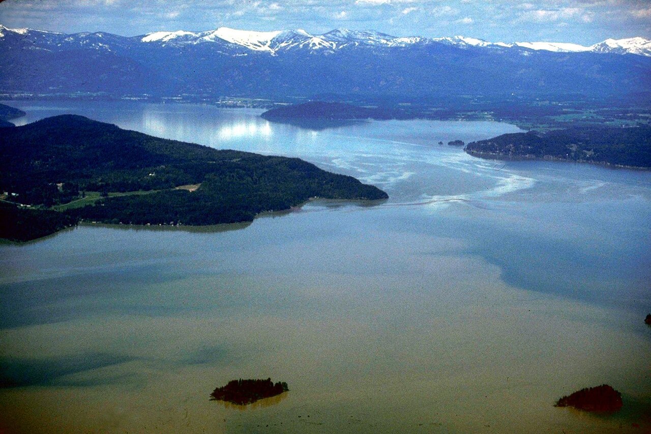
Lake Pend Oreille
Lake Pend Oreille is a lake of some 94,641 acres on the Pend Oreille River, in Idaho. Its shoreline falls inside Bonner County. It is managed by USACE Seattle District / Idaho Parks. The gauge last read 62.24 ft.
Coordinates48.1667, -116.3333
Surface area94,641 acres
Max depth1,152 ft
RiverPend Oreille River
Managed byUSACE Seattle District / Idaho Parks
Swimming beaches on Lake Pend Oreille
4 named swimming spots and shoreline access points, from USGS GNIS, Recreation.gov and the Forest Service. None is staffed by a lifeguard unless the operating agency posts one.
Lake Pend Oreille on the map
Lake center, swimming spots and access points.
Weather and water temperature
Air temperature and wind from Open-Meteo. Water temperature only when the lake has a public sensor.
Weather data by Open-Meteo
Lake Pend Oreille in Idaho
Its coordinates are 48.1667, -116.3333. Surface elevation is about 2,067 feet. It reaches roughly 1,152 feet at its deepest.
The level comes from gauge 12392500, LAKE PEND OREILLE NR HOPE, ID, and carries the time it was taken. The last value stored here, 62.24 ft, is from 2026-09-01. Water level decides what is usable on the shoreline, from beach width to ramp access.
Nearby water includes Noxon Reservoir (Montana, 28 mi), Spirit Lake (Washington, 30 mi) and Priest Lake (Idaho, 37 mi). In all, 26 lakes in Idaho are covered here.
Around Lake Pend Oreille this guide maps 4 named swimming spots and 6 public recreation areas. These come from Recreation.gov (RIDB). Recreation areas nearby include Clark Fork Driftyard, Johnson Creek and Trestle Creek. Among them are Pend Oreille Lake Area, Idaho Panhandle National Forests and Clark Fork River Area. Assume no lifeguard is on duty and keep children within reach.
Most Idaho day-use areas open for the summer season and close outside it. Water temperature is not measured at this lake by any public agency we read. Algae blooms are seasonal and local: look for posted signs at the ramp or park entrance.
Recreation areas on Lake Pend Oreille
6 public recreation areas mapped around the lake by the U.S. Army Corps of Engineers. Facilities vary by area; check the managing office for opening dates and fees.
Clark Fork Driftyard Johnson Creek Trestle Creek Springy Point Morton Slough Riley Creek
Source: USACE Recreation Areas
Questions about Lake Pend Oreille
What is the current water level at Lake Pend Oreille?
The latest reading is 62.24 ft, from USGS gauge 12392500.
Can you swim in Lake Pend Oreille?
Yes. This guide maps 4 named swimming spots around the lake, including Pend Oreille Lake Area and Idaho Panhandle National Forests. None is staffed by a lifeguard unless the operating agency posts one.
How big is Lake Pend Oreille?
About 94,641 acres. Maximum depth is around 1,152 feet.
What other lakes are near Lake Pend Oreille?
The closest in this guide is Noxon Reservoir, about 28 miles away in Montana.
Lakes near Lake Pend Oreille
Other lakes in this guide, ordered by distance.
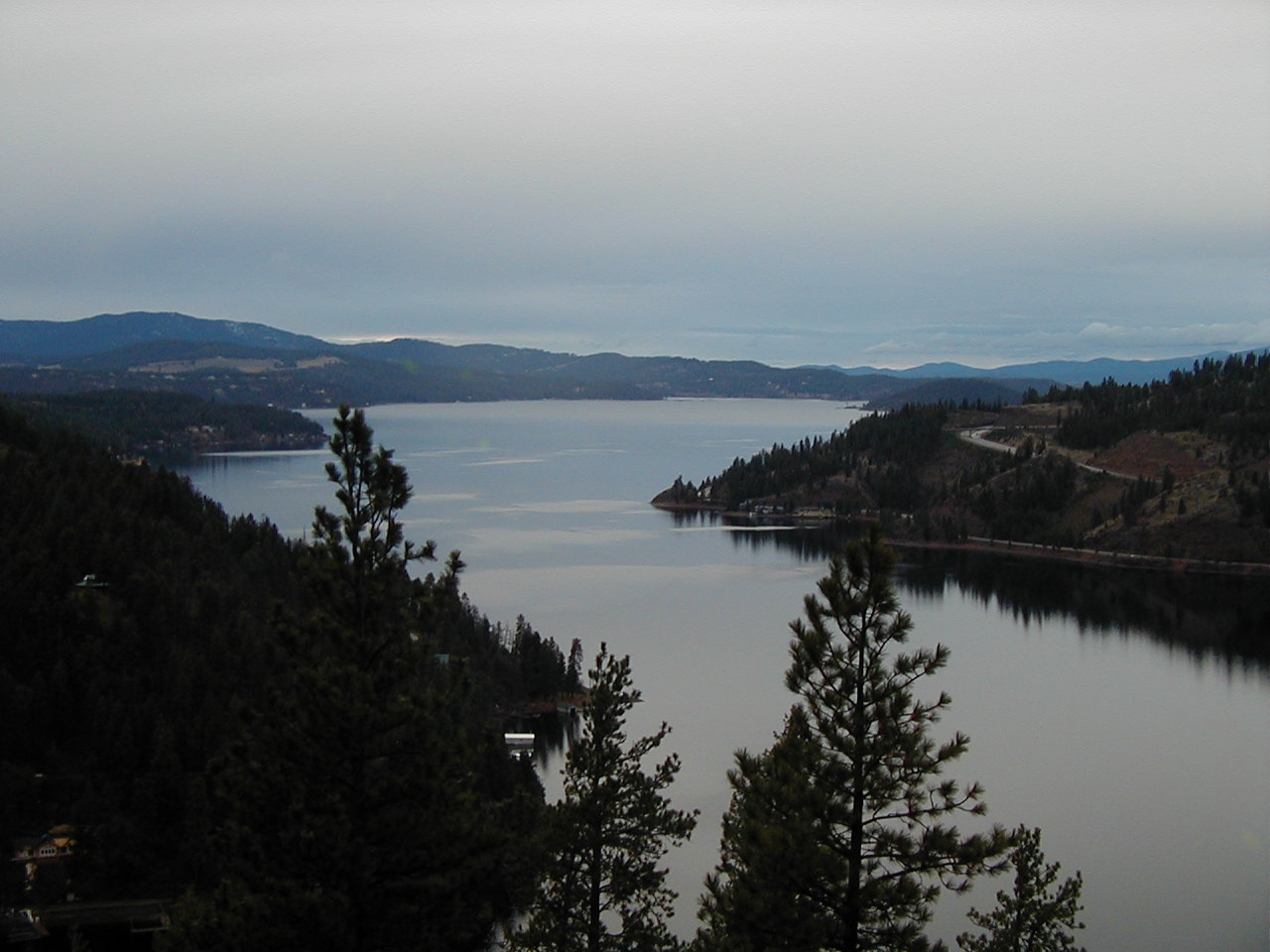
Lake Coeur d'Alene
Lake Coeur d'Alene is a 31,800-acre lake on the Spokane River in Idaho. You will find it in Kootenai County. Management is in the…
Natural lake1 beach
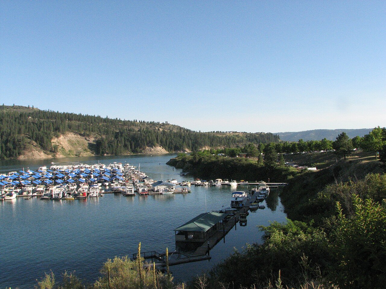
Lake Roosevelt
Lake Roosevelt is a 100,389-acre reservoir in Washington. You will find it in Ferry County. It is managed by National Park…
Reservoir2 beaches
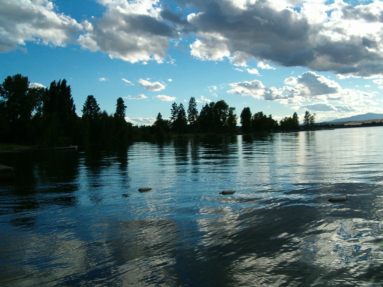
Flathead Lake
Fed by the Flathead River, Flathead Lake holds roughly 126,024 acres of water in Montana. Its shoreline falls inside Lake County.…
Natural lake3 beaches
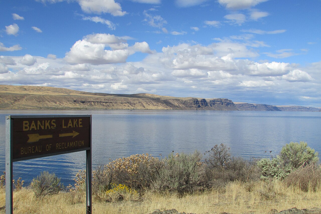
Banks Lake
Banks Lake is a 26,886-acre reservoir on the Columbia River in Washington. Its shoreline falls inside Grant County. It is managed…
Reservoir
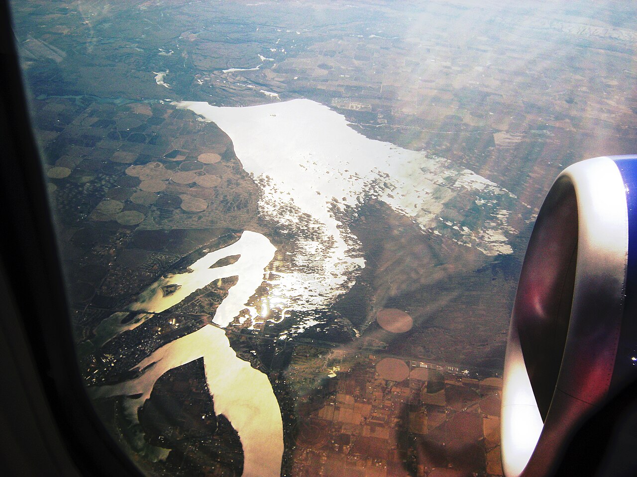
Moses Lake
Moses Lake covers about 6,715 acres of the Crab Creek in Washington. Its shoreline falls inside Grant County. It is managed by…
Reservoir
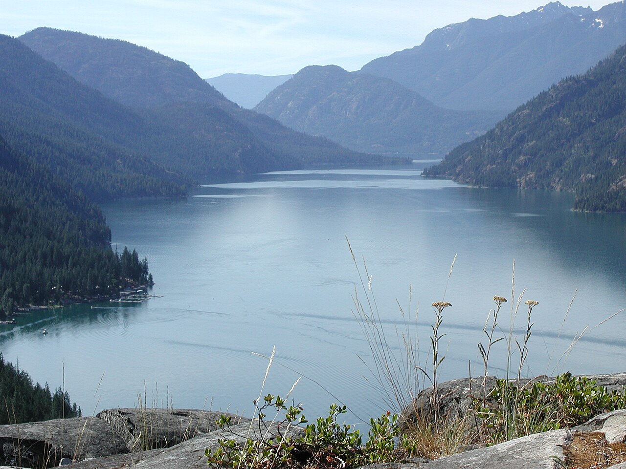
Lake Chelan
Lake Chelan is a 33,359-acre reservoir on the Chelan River in Washington. You will find it in Chelan County. Management is in the…
Reservoir1 beach
Explore around Idaho
All lakes in Idaho Swimming spots in Idaho Lakes near Hayden Lakes near Rathdrum
Sources
Every figure on this page comes from one of these public sources.