
CountiesJefferson County
KansasReservoirJefferson County
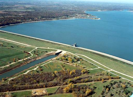
Perry Lake
Perry Lake covers about 11,146 acres of the Delaware River in Kansas. Its shoreline falls inside Jefferson County. USACE Kansas City District manages it. The gauge last read 893.57 ft.
Water level today: 893.57 ft · see the full record
Coordinates39.1676, -95.4520
Surface area11,146 acres
Max depth43 ft
RiverDelaware River
Managed byUSACE Kansas City District
Swimming beaches on Perry Lake
No named swimming beach is mapped yet for this lake. Access is through agency day-use areas and boat ramps listed below. We add beach pages only when we can confirm a name, coordinates and an operating agency.
Perry Lake on the map
Lake center, swimming spots and access points.
Weather and water temperature
Air temperature and wind from Open-Meteo. Water temperature only when the lake has a public sensor.
Weather data by Open-Meteo
Water level today
Station 06890898, PERRY LK NR PERRY, KS, publishes the water surface elevation used here. The last value stored here, 893.57 ft, is from 2026-09-09. Over the record shown on the level page the gauge has moved between 890.09 ft and 902.49 ft (low on 2026-03-29, high on 2026-06-14). A falling pool widens the beaches and shortens the ramps, so it is worth checking before you drive out.
893.57 ft -0.15 ft in 7 days
Swimming at Perry Lake
Its coordinates are 39.1676, -95.4520. The surface sits around 892 feet above sea level. The Delaware River carries the outflow. Maximum depth is around 43 feet.
The closest lakes in this guide are Lake Shawnee (Kansas, 14 mi), Clinton Lake (Kansas, 18 mi) and Pomona Lake (Kansas, 36 mi). Kansas has 26 lakes on this site in total.
If the water looks like pea soup or paint, stay out and report it to the managing agency. Water temperature is not measured at this lake by any public agency we read. Most Kansas day-use areas open for the summer season and close outside it.
Around Perry Lake this guide maps 10 public recreation areas. Recreation areas nearby include KDWandP - PERRY STATE PARK, Longview Public Use Area and Slough Creek. Fees and opening dates are set by each park, not by the agency that runs the water.
Station 06890898, PERRY LK NR PERRY, KS, publishes the water surface elevation used here. The last value stored here, 893.57 ft, is from 2026-09-09. Over the record shown on the level page the gauge has moved between 890.09 ft and 902.49 ft (low on 2026-03-29, high on 2026-06-14). A falling pool widens the beaches and shortens the ramps, so it is worth checking before you drive out.
Recreation areas on Perry Lake
10 public recreation areas mapped around the lake by the U.S. Army Corps of Engineers. Facilities vary by area; check the managing office for opening dates and fees.
KDWandP - PERRY STATE PARK Longview Public Use Area Slough Creek Rock Creek Perry Thompsonville Old Military Trail Outlet Old Town Outlet Park - Atv Area
Source: USACE Recreation Areas
Questions about Perry Lake
Is there a beach at Perry Lake?
No named swimming beach appears in the federal and state datasets this guide reads. Check the operating agency for day-use areas on the ground.
How big is Perry Lake?
About 11,146 acres. Maximum depth is around 43 feet.
What other lakes are near Perry Lake?
The closest in this guide is Lake Shawnee, about 14 miles away in Kansas.
Lakes near Perry Lake
Other lakes in this guide, ordered by distance.
Pomona Lake
Pomona Lake is a 4,000-acre reservoir on the Hundred and Ten Mile Creek in Kansas. It lies in Osage County. USACE Kansas City…
Reservoir
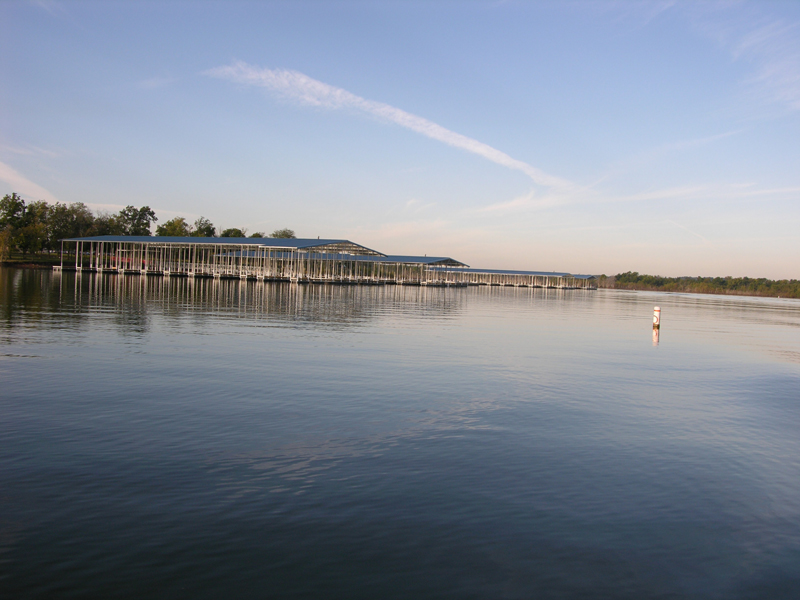
Hillsdale Lake
Hillsdale Lake covers about 4,580 acres of the Big Bull Creek → Marais des Cygnes River → Osage River in Kansas. Its shoreline…
Reservoir
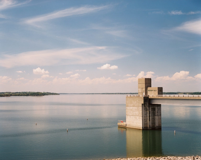
Melvern Lake
Melvern Lake covers about 6,930 acres of the Marais des Cygnes River in Kansas. It lies in Osage County. Management is in the…
Reservoir
Smithville Lake
Smithville Lake covers about 7,190 acres of the Little Platte River in Missouri. It lies in Clay County. It is managed by USACE…
Reservoir
Blue Springs Lake
Blue Springs Lake is a 720-acre reservoir on the east fork Little Blue River in Missouri. You will find it in Jackson County.…
Reservoir
Lake Jacomo
Lake Jacomo is a reservoir of some 970 acres on the Blue Springs Lake, in Missouri. The lake is in Jackson County. Management is…
Reservoir
Explore around Kansas
All lakes in Kansas Lakes near Lawrence Lakes near Leavenworth
Sources
Every figure on this page comes from one of these public sources.