
CountiesHennepin County
MinnesotaNatural lakeHennepin County
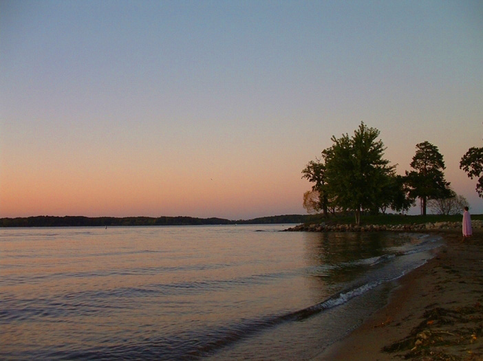
Lake Minnetonka
Fed by the Minnehaha Creek, Lake Minnetonka holds roughly 14,579 acres of water in Minnesota. The lake is in Hennepin County. It is managed by MN DNR / LMCD. The gauge last read 928.49 ft.
Coordinates44.9333, -93.5667
Surface area14,579 acres
Max depth112 ft
RiverMinnehaha Creek
Managed byMN DNR / LMCD
Swimming beaches on Lake Minnetonka
No named swimming beach is mapped yet for this lake. Access is through agency day-use areas and boat ramps listed below. We add beach pages only when we can confirm a name, coordinates and an operating agency.
Lake Minnetonka on the map
Lake center, swimming spots and access points.
Weather and water temperature
Air temperature and wind from Open-Meteo. Water temperature only when the lake has a public sensor.
Weather data by Open-Meteo
A closer look at Lake Minnetonka
Lake Minnetonka sits at 44.9333, -93.5667. Surface elevation is about 928 feet. The deepest point on record is about 112 feet.
If Lake Minnetonka is busy, the nearest alternatives here are Medicine Lake (Minnesota, 9 mi), Lake Waconia (Minnesota, 12 mi) and Bde Maka Ska (Minnesota, 12 mi). Minnesota has 34 lakes on this site in total.
There is no water temperature sensor here, so only air conditions are shown. Water quality is monitored unevenly on inland lakes, so posted notices are the most reliable guide. Season dates vary by park; the operating agency publishes them each spring.
If you need a named beach, Cedar Lake East Beach on Bde Maka Ska is some 12 miles from here. The federal and state datasets behind this guide list no named beach at Lake Minnetonka. That does not mean there is no access, only that none is catalogued. County parks and private resorts sometimes provide access that federal datasets never record.
Station 05289000, LAKE MINNETONKA ABV GRAYS BAY OTLT IN MINNETONKA, publishes the water surface elevation used here. The last value stored here, 928.49 ft, is from 2026-09-09. Over the record shown on the level page the gauge has moved between 928.35 ft and 929.60 ft (low on 2025-11-23, high on 2025-08-19). Check the reading the morning you go if your plan depends on a specific ramp.
Questions about Lake Minnetonka
What is the current water level at Lake Minnetonka?
The latest reading is 928.49 ft, from USGS gauge 05289000.
Is there a beach at Lake Minnetonka?
No named swimming beach appears in the federal and state datasets this guide reads. Check the operating agency for day-use areas on the ground.
How big is Lake Minnetonka?
About 14,579 acres. Maximum depth is around 112 feet.
What other lakes are near Lake Minnetonka?
The closest in this guide is Medicine Lake, about 9 miles away in Minnesota.
Lakes near Lake Minnetonka
Other lakes in this guide, ordered by distance.
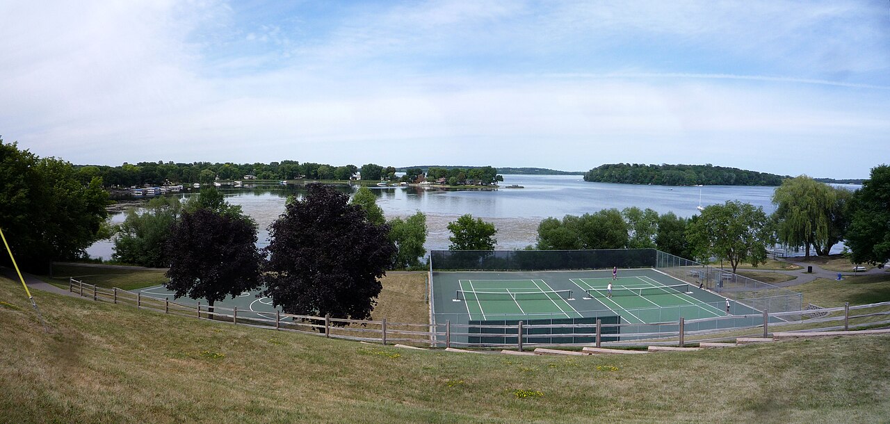
Lake Waconia
Lake Waconia is a 3,080-acre lake in Minnesota. You will find it in Carver County. It is managed by MN DNR / Carver County.
Natural lake
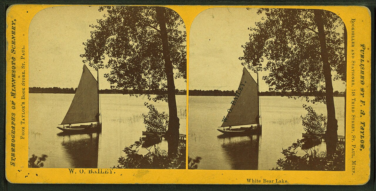
White Bear Lake
White Bear Lake is a 2,439-acre lake on the catchment = in Minnesota. The lake is in Washington County. WBLCD / MN DNR manages it.
Natural lake
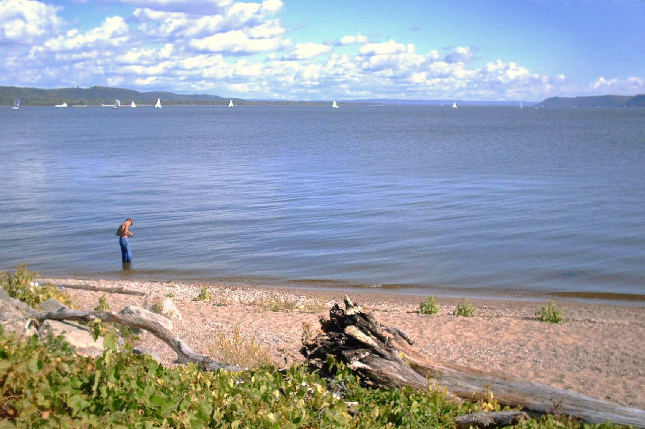
Lake Pepin
Lake Pepin covers about 25,600 acres of the Mississippi River in Minnesota. Its shoreline falls inside Pierce County. Management…
Natural lake
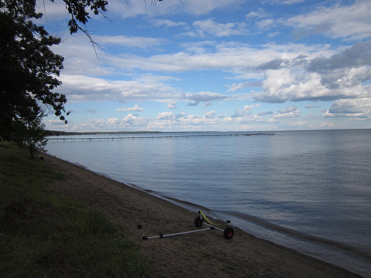
Mille Lacs Lake
Fed by the Rum River, Mille Lacs Lake holds roughly 132,448 acres of water in Minnesota. You will find it in Mille Lacs County.…
Natural lake
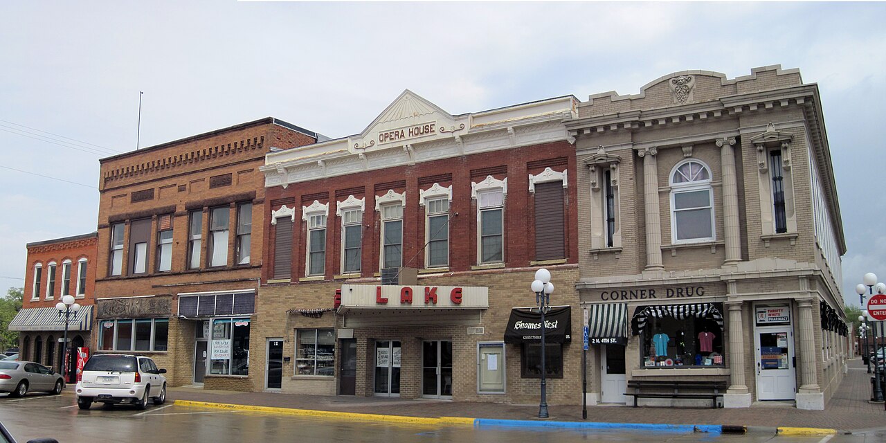
Clear Lake
Clear Lake is a 557-acre reservoir in Oregon. It lies in Lane County. It is managed by USFS Hood River Ranger District / USBR.…
Natural lake2 beaches
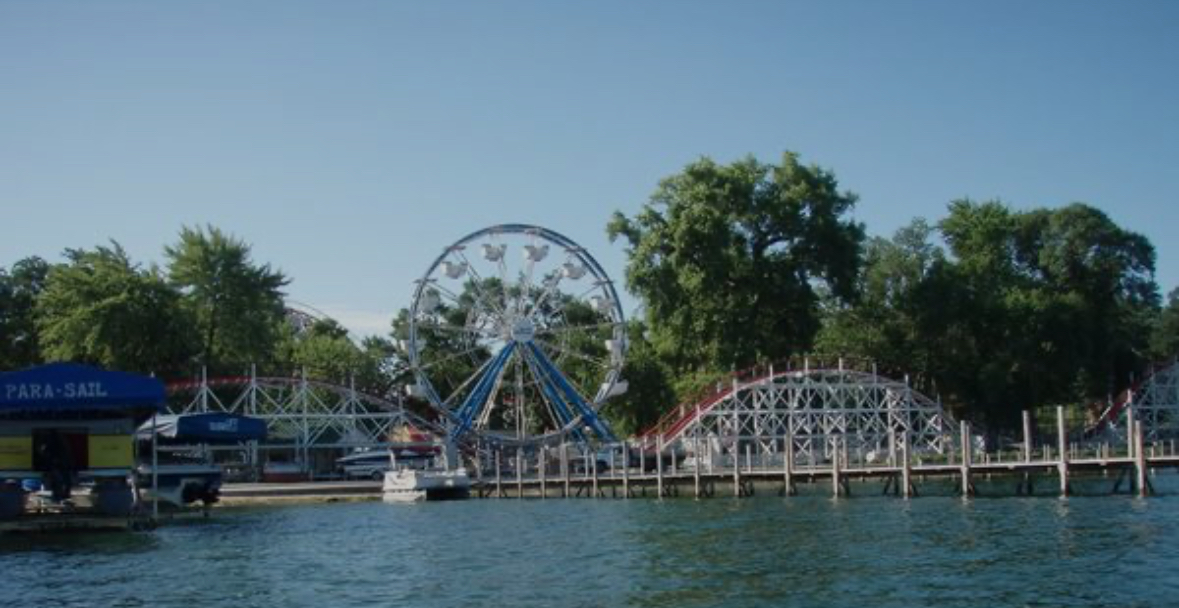
West Lake Okoboji
West Lake Okoboji is a 3,847-acre lake in Iowa. You will find it in Dickinson County. It is managed by Iowa DNR. The gauge last…
Natural lake27 beaches
Explore around Minnesota
Sources
Every figure on this page comes from one of these public sources.