
CountiesWorcester County
MassachusettsReservoirWorcester County
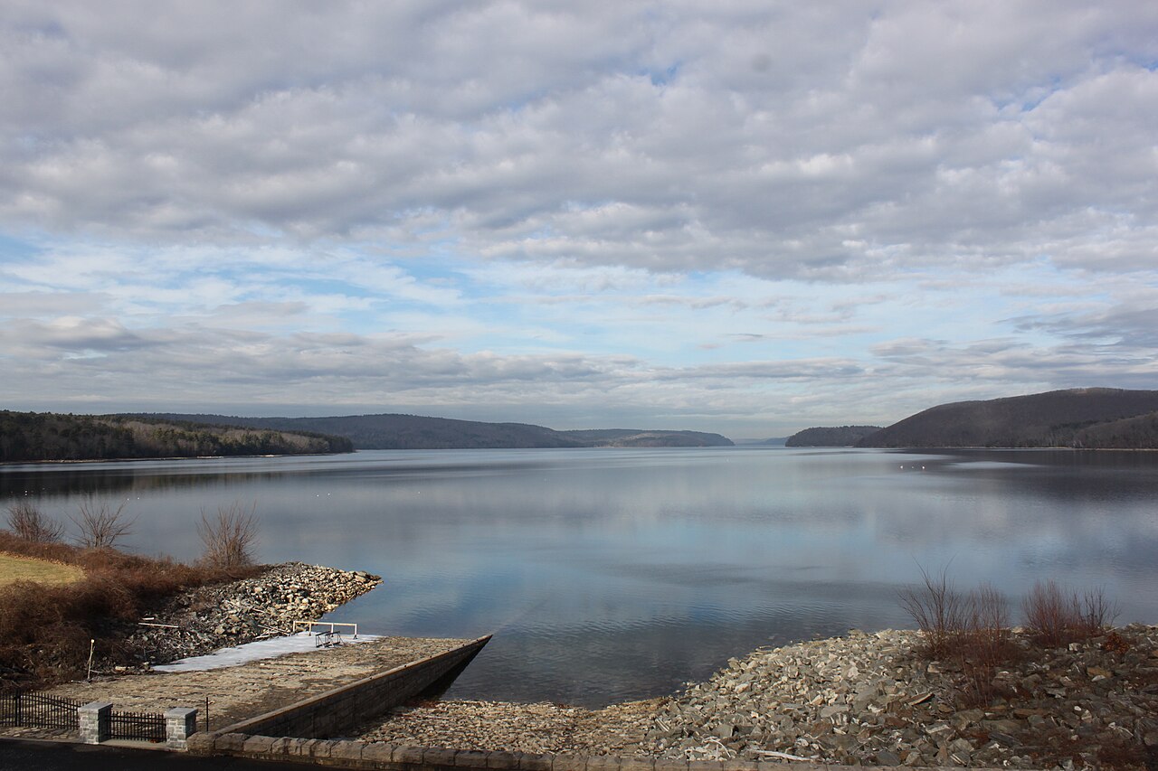
Quabbin Reservoir
Quabbin Reservoir covers about 24,703 acres of the Swift River in Massachusetts. The lake is in Worcester County. MA DCR Division of Water Supply Protection manages it. This guide maps 1 named swimming spot around its shoreline.
Coordinates42.3592, -72.3000
Surface area24,703 acres
Max depth151 ft
RiverSwift River
Managed byMA DCR Division of Water Supply Protection
Swimming beaches on Quabbin Reservoir
1 named swimming spot and shoreline access points, from USGS GNIS, Recreation.gov and the Forest Service. None is staffed by a lifeguard unless the operating agency posts one.
Quabbin Reservoir on the map
Lake center, swimming spots and access points.
Weather and water temperature
Air temperature and wind from Open-Meteo. Water temperature only when the lake has a public sensor.
Weather data by Open-Meteo
About Quabbin Reservoir
Its coordinates are 42.3592, -72.3000. The surface sits around 522 feet above sea level. The deepest point on record is about 151 feet. Releases go downstream into the Swift River.
The closest lakes in this guide are East Brimfield Lake (Massachusetts, 19 mi), Tully Lake (Massachusetts, 20 mi) and Buffumville Lake (Massachusetts, 26 mi). Massachusetts has 15 lakes on this site in total.
Around Quabbin Reservoir this guide maps 1 named swimming spot. Among them are Sandy Beach. These come from USGS GNIS. Parking is the usual limit on busy summer weekends.
There is no live level reading for Quabbin Reservoir. The agencies that run this water do not publish one openly, and we do not estimate what has not been measured. We check the public feeds daily, so this page will fill in if one appears.
No public sensor reports water temperature at Quabbin Reservoir, so the panel shows air temperature and wind. Freshwater advisories are issued locally, so check the state health department before you swim. Season dates vary by park; the operating agency publishes them each spring.
Questions about Quabbin Reservoir
Can you swim in Quabbin Reservoir?
Yes. This guide maps 1 named swimming spot around the lake, including Sandy Beach. None is staffed by a lifeguard unless the operating agency posts one.
How big is Quabbin Reservoir?
About 24,703 acres. Maximum depth is around 151 feet.
What other lakes are near Quabbin Reservoir?
The closest in this guide is East Brimfield Lake, about 19 miles away in Massachusetts.
Lakes near Quabbin Reservoir
Other lakes in this guide, ordered by distance.
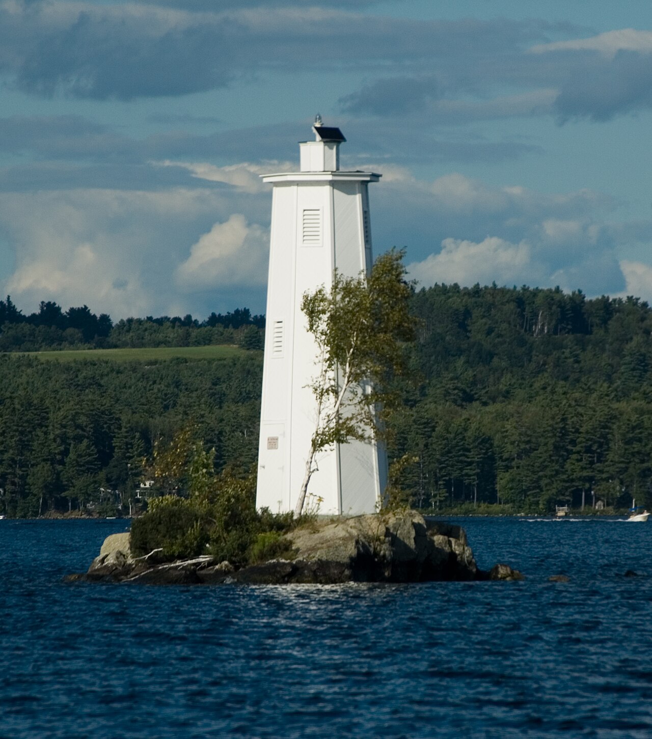
Lake Sunapee
Lake Sunapee covers about 4,136 acres of the Sugar River in New Hampshire. You will find it in Sullivan County. It is managed by…
Natural lake3 beaches
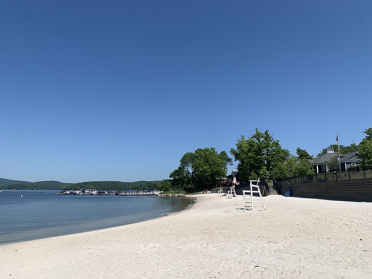
Candlewood Lake
Candlewood Lake is a 5,420-acre lake on the Rocky River in Connecticut. Its shoreline falls inside Western Connecticut County. It…
Natural lake1 beach
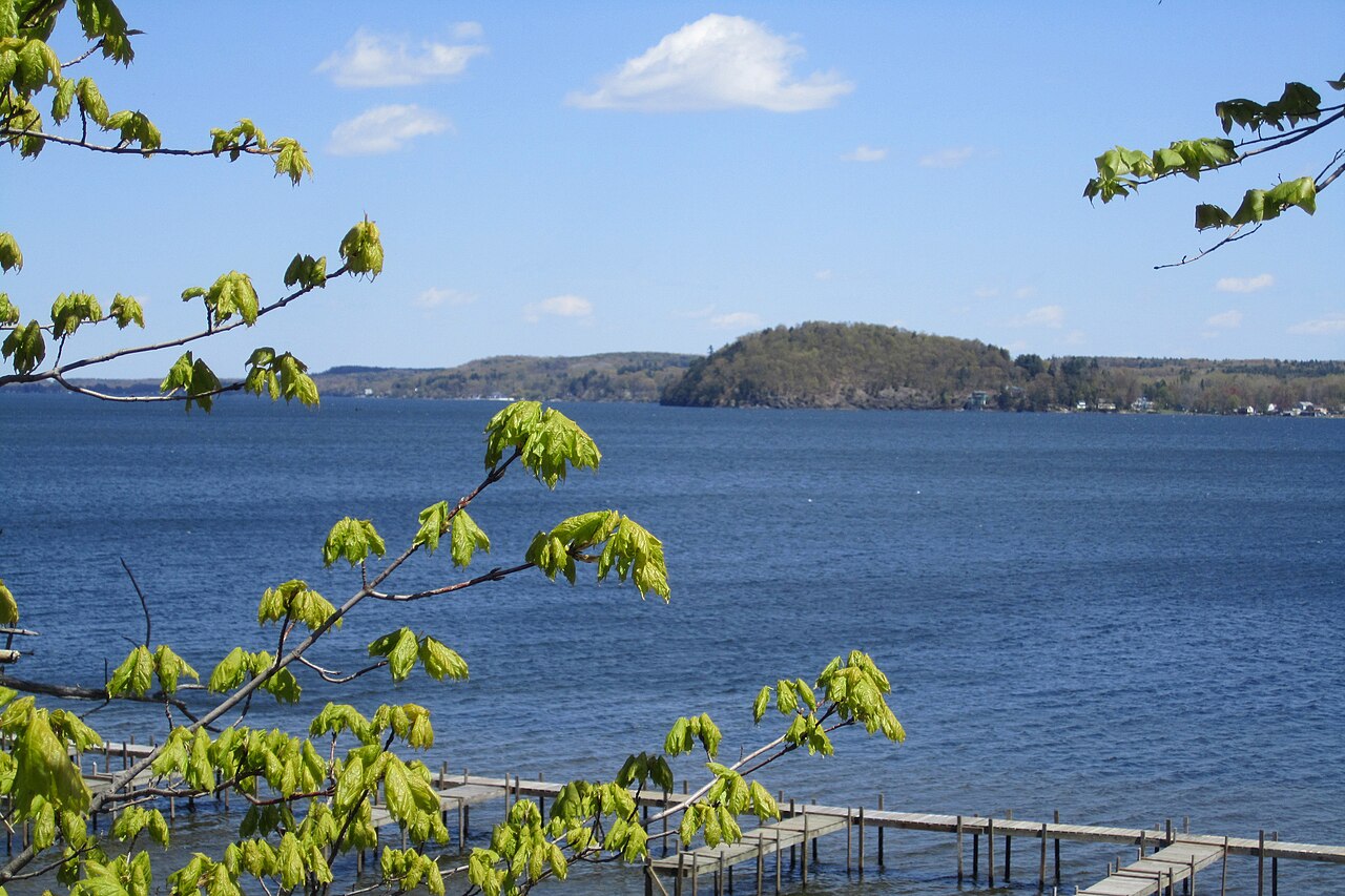
Saratoga Lake
Fed by the Fish Creek, Saratoga Lake holds roughly 3,762 acres of water in New York. The lake is in Saratoga County. NYSDEC / NY…
Natural lake
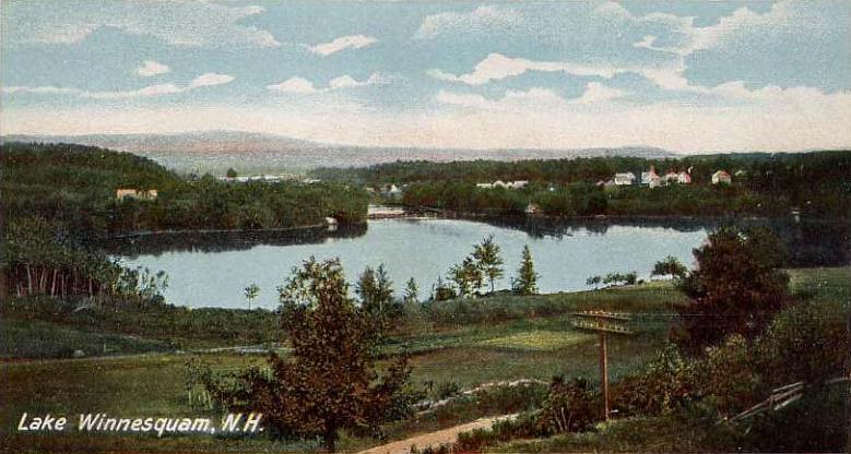
Lake Winnisquam
Lake Winnisquam covers about 4,213 acres of the Winnipesaukee River in New Hampshire. You will find it in Belknap County. NH…
Natural lake1 beach
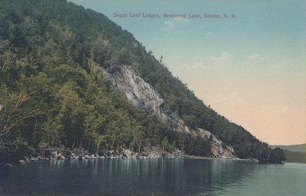
Newfound Lake
Newfound Lake is a lake of some 4,102 acres on the Newfound River, in New Hampshire. Its shoreline falls inside Grafton County.…
Natural lake
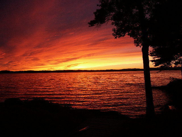
Lake Winnipesaukee
Lake Winnipesaukee is a lake of some 45,714 acres on the Winnipesaukee River, in New Hampshire. You will find it in Belknap…
Natural lake7 beaches
Explore around Massachusetts
Sources
Every figure on this page comes from one of these public sources.