
CountiesWestern Connecticut County
ConnecticutNatural lakeWestern Connecticut County
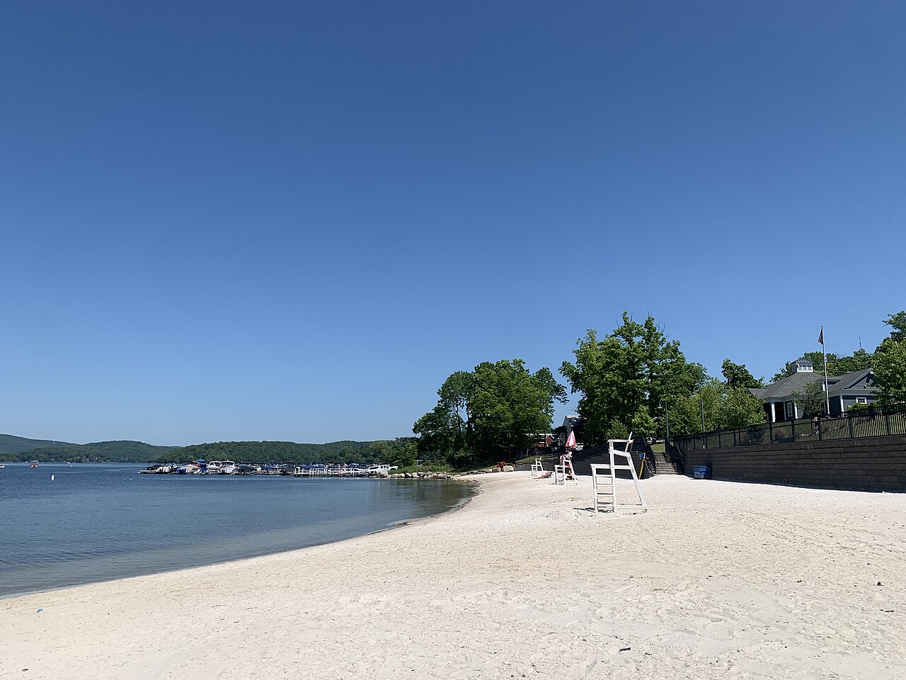
Candlewood Lake
Candlewood Lake is a 5,420-acre lake on the Rocky River in Connecticut. Its shoreline falls inside Western Connecticut County. It is managed by CT DEEP / Candlewood Lake Authority. This guide maps 1 named swimming spot around its shoreline.
Coordinates41.5000, -73.4600
Surface area5,420 acres
Max depth90 ft
RiverRocky River
Managed byCT DEEP / Candlewood Lake Authority
Swimming beaches on Candlewood Lake
1 named swimming spot and shoreline access points, from USGS GNIS, Recreation.gov and the Forest Service. None is staffed by a lifeguard unless the operating agency posts one.
Candlewood Lake on the map
Lake center, swimming spots and access points.
Weather and water temperature
Air temperature and wind from Open-Meteo. Water temperature only when the lake has a public sensor.
Weather data by Open-Meteo
About Candlewood Lake
Candlewood Lake sits at 41.5000, -73.4600. It lies at roughly 429 feet of elevation. It reaches roughly 90 feet at its deepest.
No public gauge reports the water level at Candlewood Lake, so this page shows no level chart. We would rather leave the figure out than publish an estimate that nobody measured. For a lake this size, the park office is the fastest way to learn how the water sits today.
The shoreline of Candlewood Lake has 1 named swimming spot in the datasets we read. They include Pine Ledge. These come from USGS GNIS. Facilities vary from one access point to the next, so check before you rely on one.
If Candlewood Lake is busy, the nearest alternatives here are Lake Waramaug (Connecticut, 15 mi), Lake Quassapaug (Connecticut, 16 mi) and Bantam Lake (Connecticut, 19 mi). In all, 8 lakes in Connecticut are covered here.
Inland lakes are not monitored the way ocean beaches are, so posted signs matter more here. Most Connecticut day-use areas open for the summer season and close outside it. No public sensor reports water temperature at Candlewood Lake, so the panel shows air temperature and wind.
Questions about Candlewood Lake
Can you swim in Candlewood Lake?
Yes. This guide maps 1 named swimming spot around the lake, including Pine Ledge. None is staffed by a lifeguard unless the operating agency posts one.
How big is Candlewood Lake?
About 5,420 acres. Maximum depth is around 90 feet.
What other lakes are near Candlewood Lake?
The closest in this guide is Lake Waramaug, about 15 miles away in Connecticut.
Lakes near Candlewood Lake
Other lakes in this guide, ordered by distance.
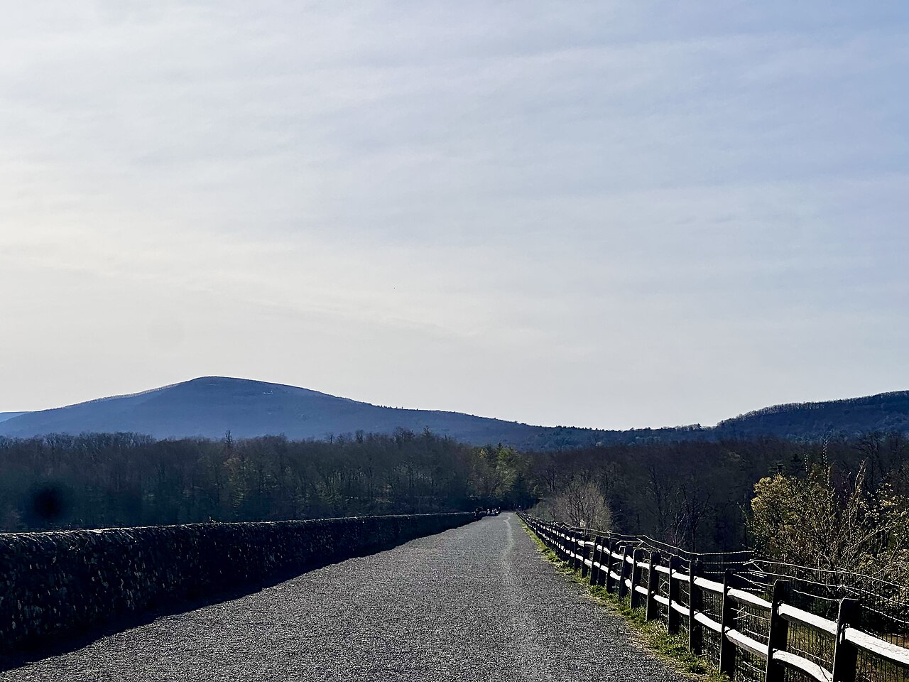
Ashokan Reservoir
Ashokan Reservoir is a 8,300-acre reservoir on the Esopus Creek in New York. You will find it in Ulster County. It is managed by…
Reservoir
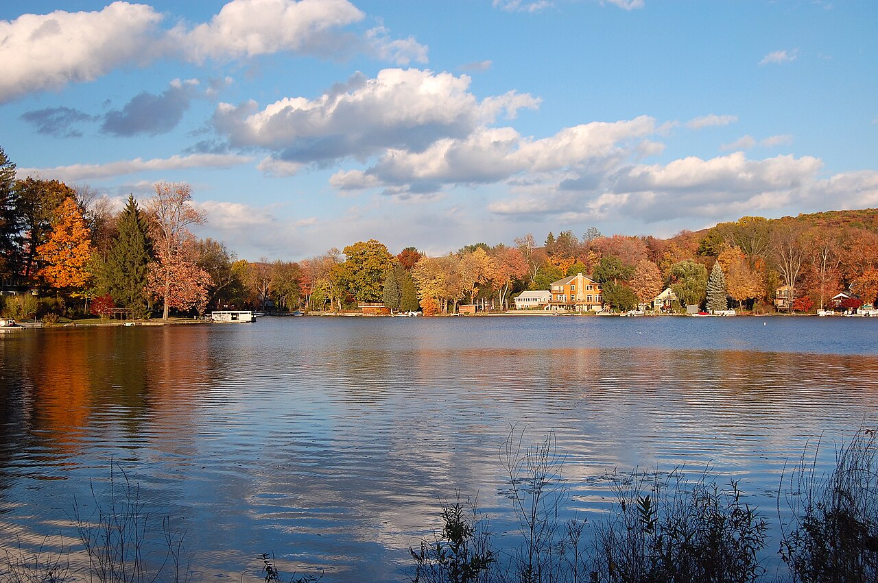
Greenwood Lake
Greenwood Lake is a 1,927-acre reservoir on the outflow = Wanaque River in New Jersey. It is managed by Greenwood Lake Commission…
Reservoir
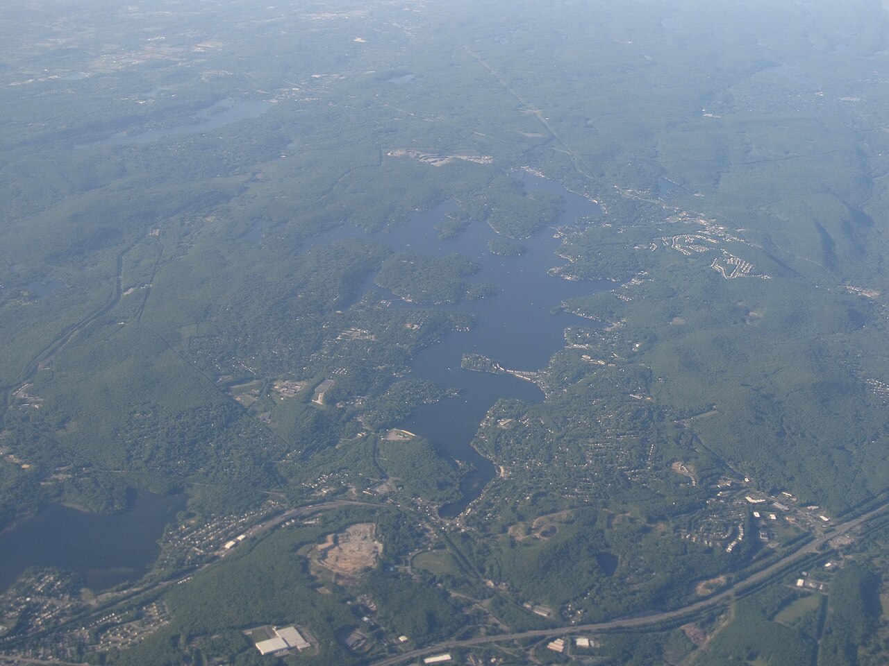
Lake Hopatcong
Lake Hopatcong is a reservoir of some 2,685 acres on the Musconetcong River, in New Jersey. You will find it in Sussex County. It…
Reservoir
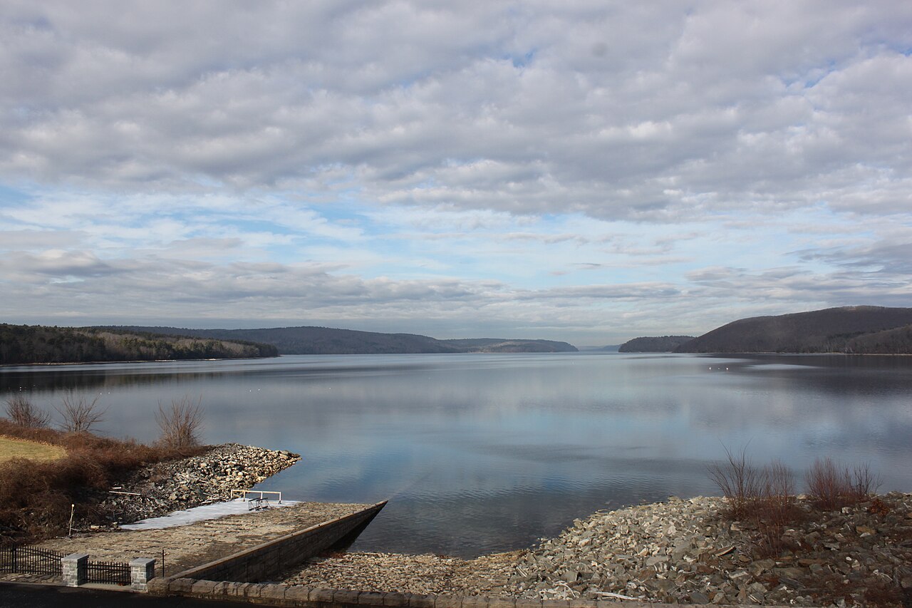
Quabbin Reservoir
Quabbin Reservoir covers about 24,703 acres of the Swift River in Massachusetts. The lake is in Worcester County. MA DCR Division…
Reservoir1 beach
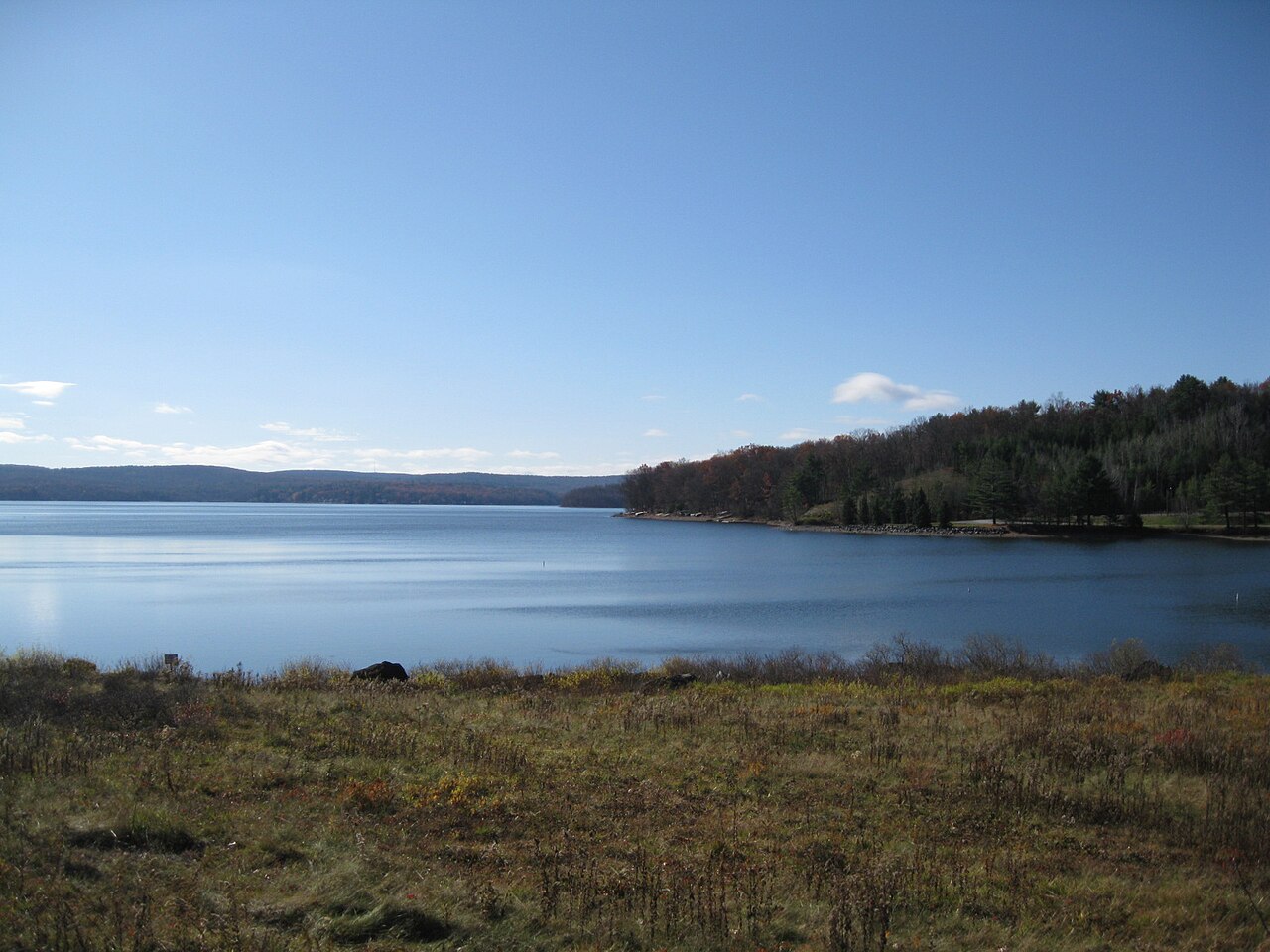
Lake Wallenpaupack
Lake Wallenpaupack covers about 5,461 acres of the Lackawaxen River in Pennsylvania. Its shoreline falls inside Pike County. It…
Reservoir

Round Valley Reservoir
Round Valley Reservoir is a reservoir of some 2,300 acres on the outflow =, in New Jersey. The lake is in Hunterdon County.…
Reservoir
Explore around Connecticut
Sources
Every figure on this page comes from one of these public sources.