
CountiesSullivan County
New HampshireNatural lakeSullivan County
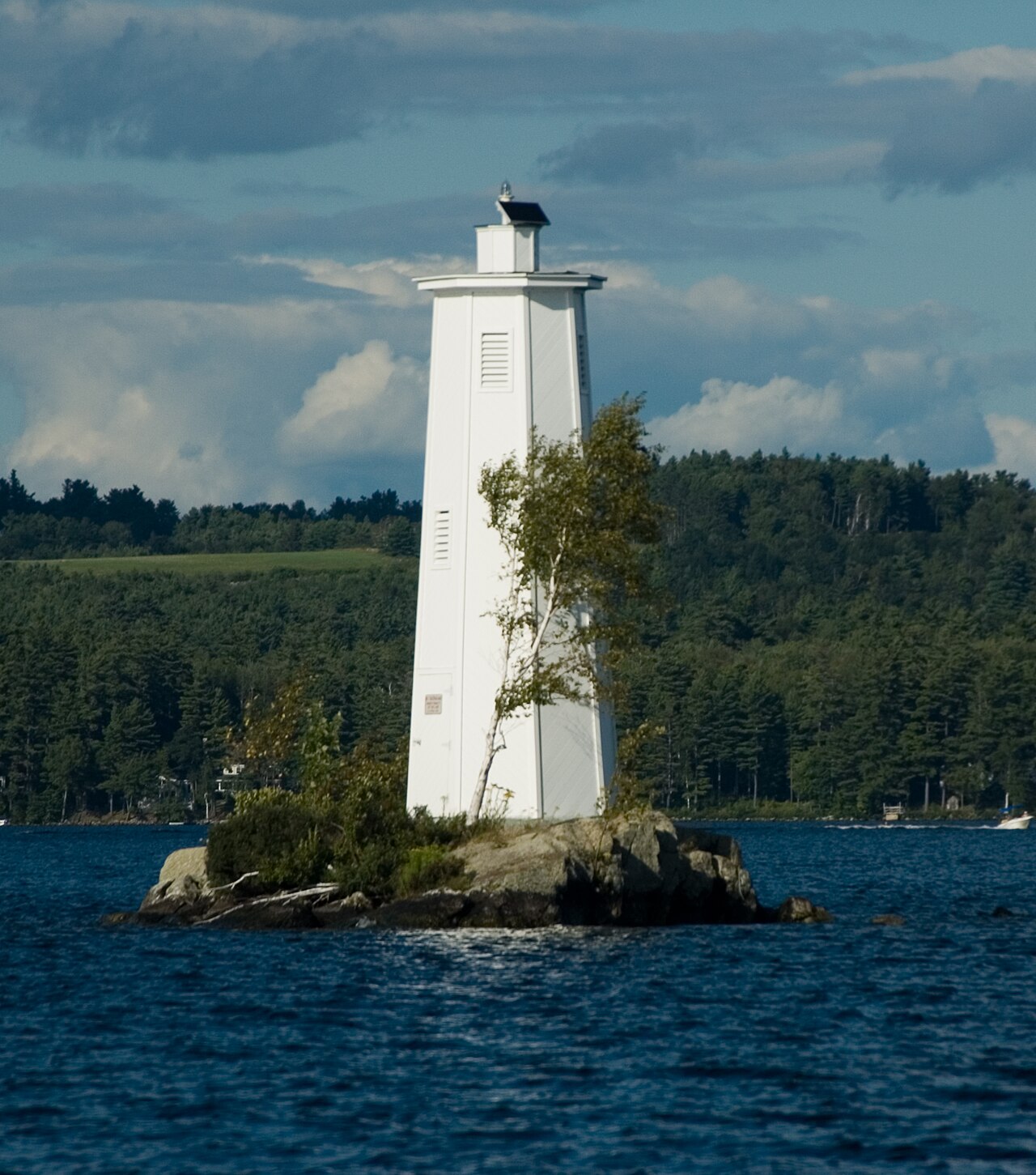
Lake Sunapee
Lake Sunapee covers about 4,136 acres of the Sugar River in New Hampshire. You will find it in Sullivan County. It is managed by NH Marine Patrol. This guide maps 3 named swimming spots around its shoreline.
Coordinates43.3758, -72.0564
Surface area4,136 acres
Max depth105 ft
RiverSugar River
Managed byNH Marine Patrol
Swimming beaches on Lake Sunapee
3 named swimming spots and shoreline access points, from USGS GNIS, Recreation.gov and the Forest Service. None is staffed by a lifeguard unless the operating agency posts one.
Lake Sunapee on the map
Lake center, swimming spots and access points.
Weather and water temperature
Air temperature and wind from Open-Meteo. Water temperature only when the lake has a public sensor.
Weather data by Open-Meteo
Visiting Lake Sunapee
The center of the lake is at 43.3758, -72.0564. It reaches roughly 105 feet at its deepest. Surface elevation is about 1,093 feet.
This page shows no water level for Lake Sunapee because no agency publishes one that can be read automatically. Where an agency publishes a figure, we show it with the time it was taken; here there is none.
Swimming season in New Hampshire runs through the warm months, and day-use areas set their own opening dates. If the water looks like pea soup or paint, stay out and report it to the managing agency. Water temperature is not measured at this lake by any public agency we read.
Nearby water includes Island Pond (New Hampshire, 14 mi), Highland Lake (New Hampshire, 16 mi) and Mascoma Lake (New Hampshire, 18 mi). In all, 22 lakes in New Hampshire are covered here.
The shoreline of Lake Sunapee has 3 named swimming spots in the datasets we read. These come from USGS GNIS. Dewey Beach, State Park Beach and Wadleigh State Beach are on the list. Assume no lifeguard is on duty and keep children within reach.
Questions about Lake Sunapee
Can you swim in Lake Sunapee?
Yes. This guide maps 3 named swimming spots around the lake, including Dewey Beach and State Park Beach. None is staffed by a lifeguard unless the operating agency posts one.
How big is Lake Sunapee?
About 4,136 acres. Maximum depth is around 105 feet.
What other lakes are near Lake Sunapee?
The closest in this guide is Island Pond, about 14 miles away in New Hampshire.
Lakes near Lake Sunapee
Other lakes in this guide, ordered by distance.
Newfound Lake
Newfound Lake is a lake of some 4,102 acres on the Newfound River, in New Hampshire. Its shoreline falls inside Grafton County.…
Natural lake
Lake Winnisquam
Lake Winnisquam covers about 4,213 acres of the Winnipesaukee River in New Hampshire. You will find it in Belknap County. NH…
Natural lake1 beach
Squam Lake
Fed by the Squam River, Squam Lake holds roughly 6,790 acres of water in New Hampshire. The lake is in Belknap County. Management…
Natural lake2 beaches
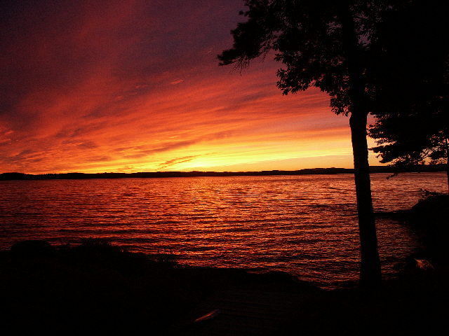
Lake Winnipesaukee
Lake Winnipesaukee is a lake of some 45,714 acres on the Winnipesaukee River, in New Hampshire. You will find it in Belknap…
Natural lake7 beaches
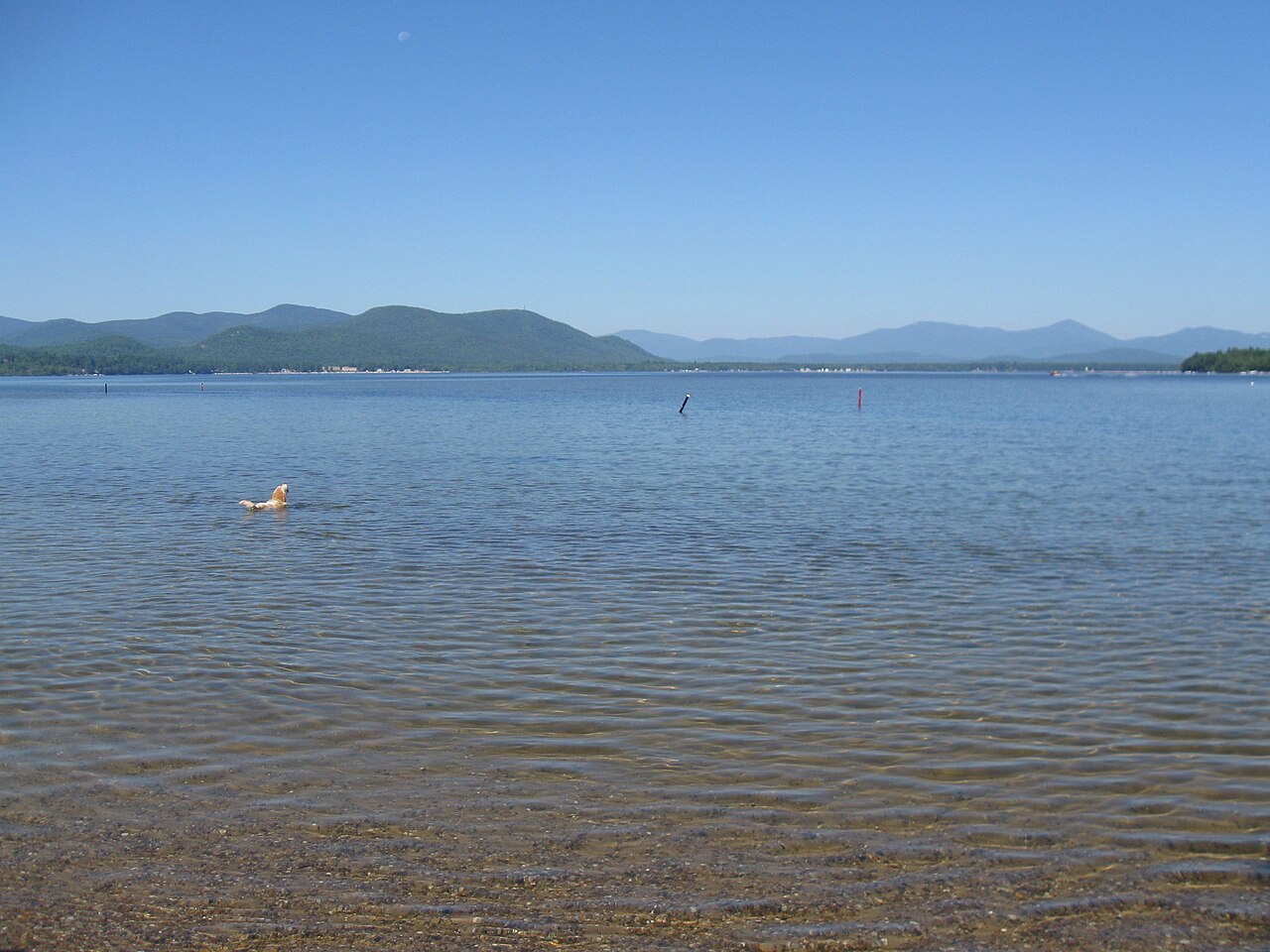
Ossipee Lake
Ossipee Lake is a 3,257-acre lake on the Ossipee River in New Hampshire. You will find it in Carroll County. It is managed by NH…
Natural lake
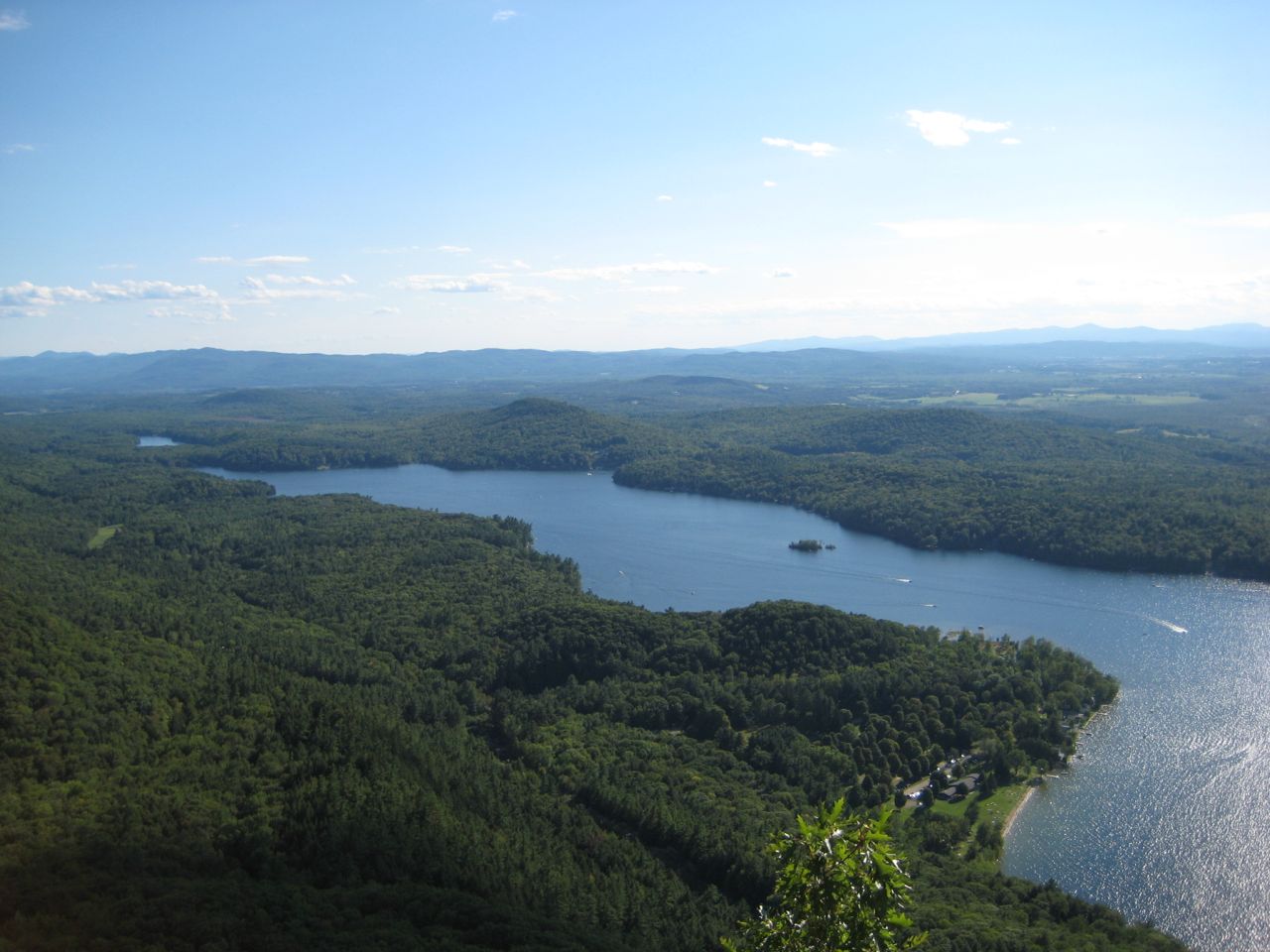
Lake Dunmore
Lake Dunmore is a lake of some 985 acres on the Leicester River, in Vermont. It lies in Addison County. It is managed by Vermont…
Natural lake
Explore around New Hampshire
All lakes in New Hampshire Swimming spots in New Hampshire Lakes near Claremont Lakes near Lebanon
Sources
Every figure on this page comes from one of these public sources.