
CountiesGrant County
WashingtonReservoirGrant County
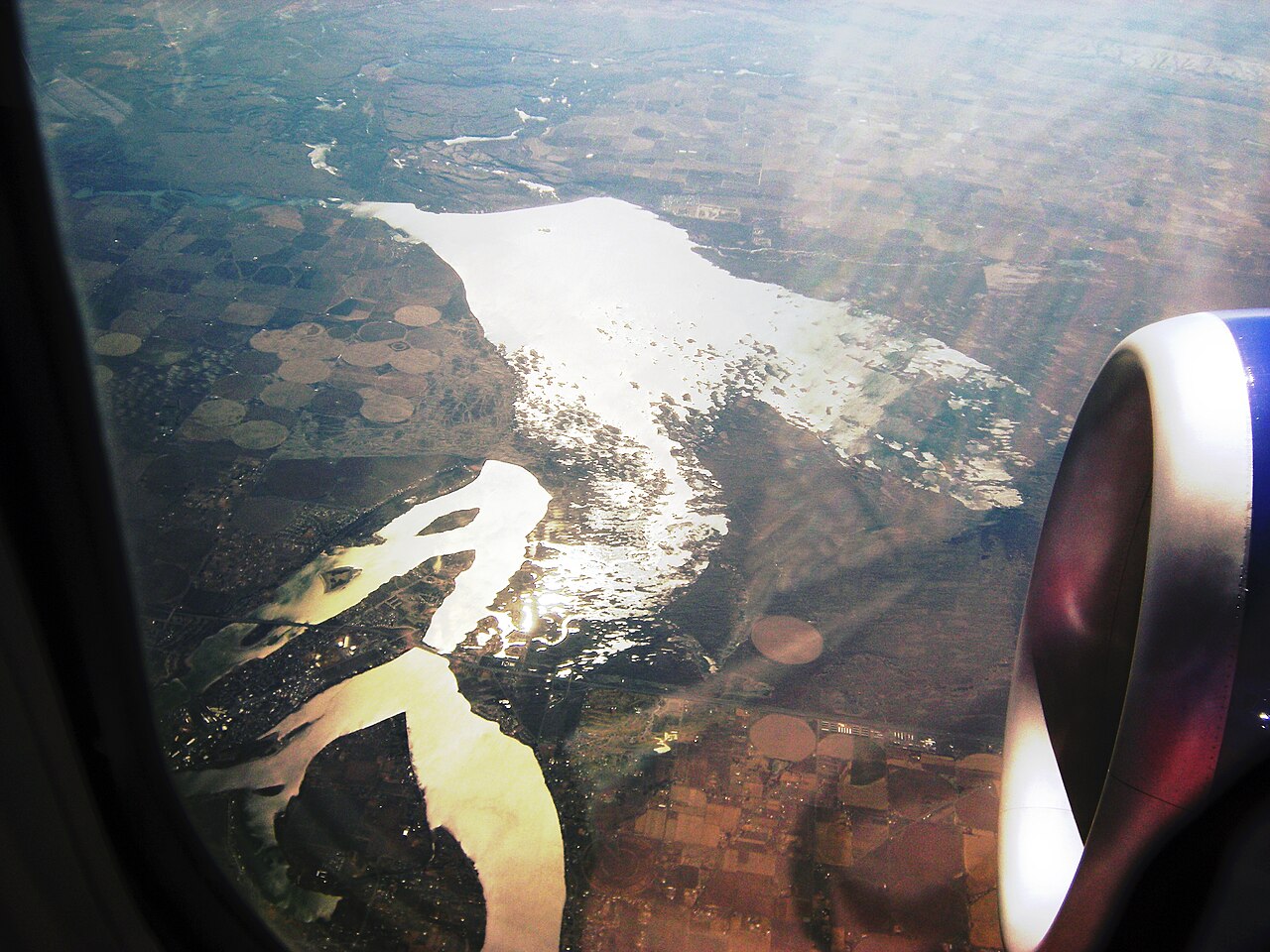
Moses Lake
Moses Lake covers about 6,715 acres of the Crab Creek in Washington. Its shoreline falls inside Grant County. It is managed by Moses Lake Irrigation & Rehabilitation District. The gauge last read 1,046.70 ft.
Water level today: 1,046.70 ft · see the full record
Coordinates47.1363, -119.3416
Surface area6,715 acres
Max depth18 ft
RiverCrab Creek
Managed byMoses Lake Irrigation & Rehabilitation District
Swimming beaches on Moses Lake
No named swimming beach is mapped yet for this lake. Access is through agency day-use areas and boat ramps listed below. We add beach pages only when we can confirm a name, coordinates and an operating agency.
Moses Lake on the map
Lake center, swimming spots and access points.
Weather and water temperature
Air temperature and wind from Open-Meteo. Water temperature only when the lake has a public sensor.
Weather data by Open-Meteo
Water level today
The level comes from gauge 12471000, MOSES LAKE AT MOSES LAKE, WA, and carries the time it was taken. Over the record shown on the level page the gauge has moved between 1,041.46 ft and 1,046.86 ft (low on 2025-12-10, high on 2026-05-14). The last value stored here, 1,046.70 ft, is from 2026-09-09. When the pool drops, shoreline beaches grow and shallow ramps can run out of concrete.
1,046.70 ft -0.04 ft in 7 days
About Moses Lake
The center of the lake is at 47.1363, -119.3416. Surface elevation is about 1,050 feet. The deepest point on record is about 18 feet. Outflow feeds the Crab Creek.
The level comes from gauge 12471000, MOSES LAKE AT MOSES LAKE, WA, and carries the time it was taken. Over the record shown on the level page the gauge has moved between 1,041.46 ft and 1,046.86 ft (low on 2025-12-10, high on 2026-05-14). The last value stored here, 1,046.70 ft, is from 2026-09-09. When the pool drops, shoreline beaches grow and shallow ramps can run out of concrete.
The federal and state datasets behind this guide list no named beach at Moses Lake. That does not mean there is no access, only that none is catalogued. A missing beach entry often just means nobody has catalogued the access point yet. The nearest mapped swimming spot is Babcock Bench on Wanapum Lake, roughly 31 miles away.
The closest lakes in this guide are Potholes Reservoir (Washington, 11 mi), Billy Clapp Lake (Washington, 22 mi) and Lake Lenore (Washington, 26 mi). Washington has 45 lakes on this site in total.
There is no water temperature sensor here, so only air conditions are shown. Water quality is monitored unevenly on inland lakes, so posted notices are the most reliable guide. Most Washington day-use areas open for the summer season and close outside it.
Questions about Moses Lake
Is there a beach at Moses Lake?
No named swimming beach appears in the federal and state datasets this guide reads. Check the operating agency for day-use areas on the ground.
How big is Moses Lake?
About 6,715 acres. Maximum depth is around 18 feet.
What other lakes are near Moses Lake?
The closest in this guide is Potholes Reservoir, about 11 miles away in Washington.
Lakes near Moses Lake
Other lakes in this guide, ordered by distance.
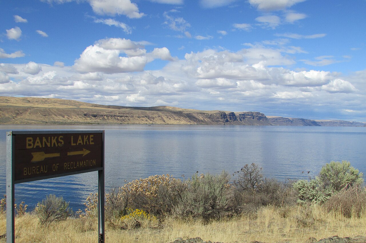
Banks Lake
Banks Lake is a 26,886-acre reservoir on the Columbia River in Washington. Its shoreline falls inside Grant County. It is managed…
Reservoir
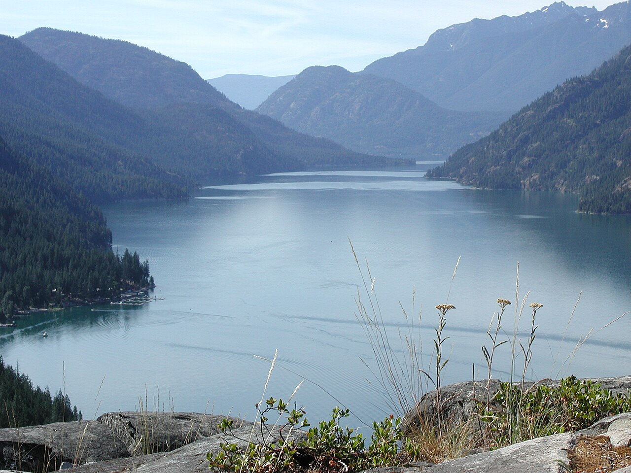
Lake Chelan
Lake Chelan is a 33,359-acre reservoir on the Chelan River in Washington. You will find it in Chelan County. Management is in the…
Reservoir1 beach
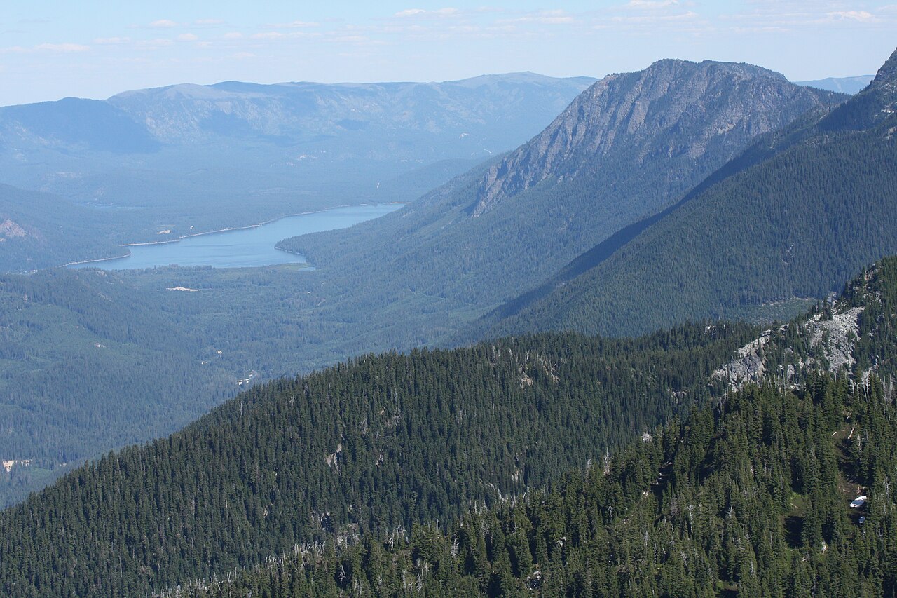
Lake Wenatchee
Fed by the Wenatchee River, Lake Wenatchee holds roughly 2,481 acres of water in Washington. It lies in Chelan County. It is…
Natural lake
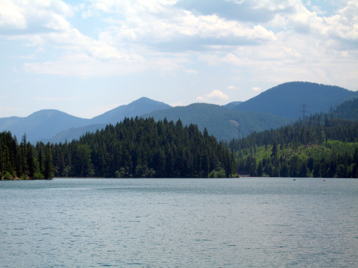
Cle Elum Lake
Fed by the Cle Elum River, Cle Elum Lake holds roughly 4,566 acres of water in Washington. You will find it in Kittitas County.…
Reservoir1 beach
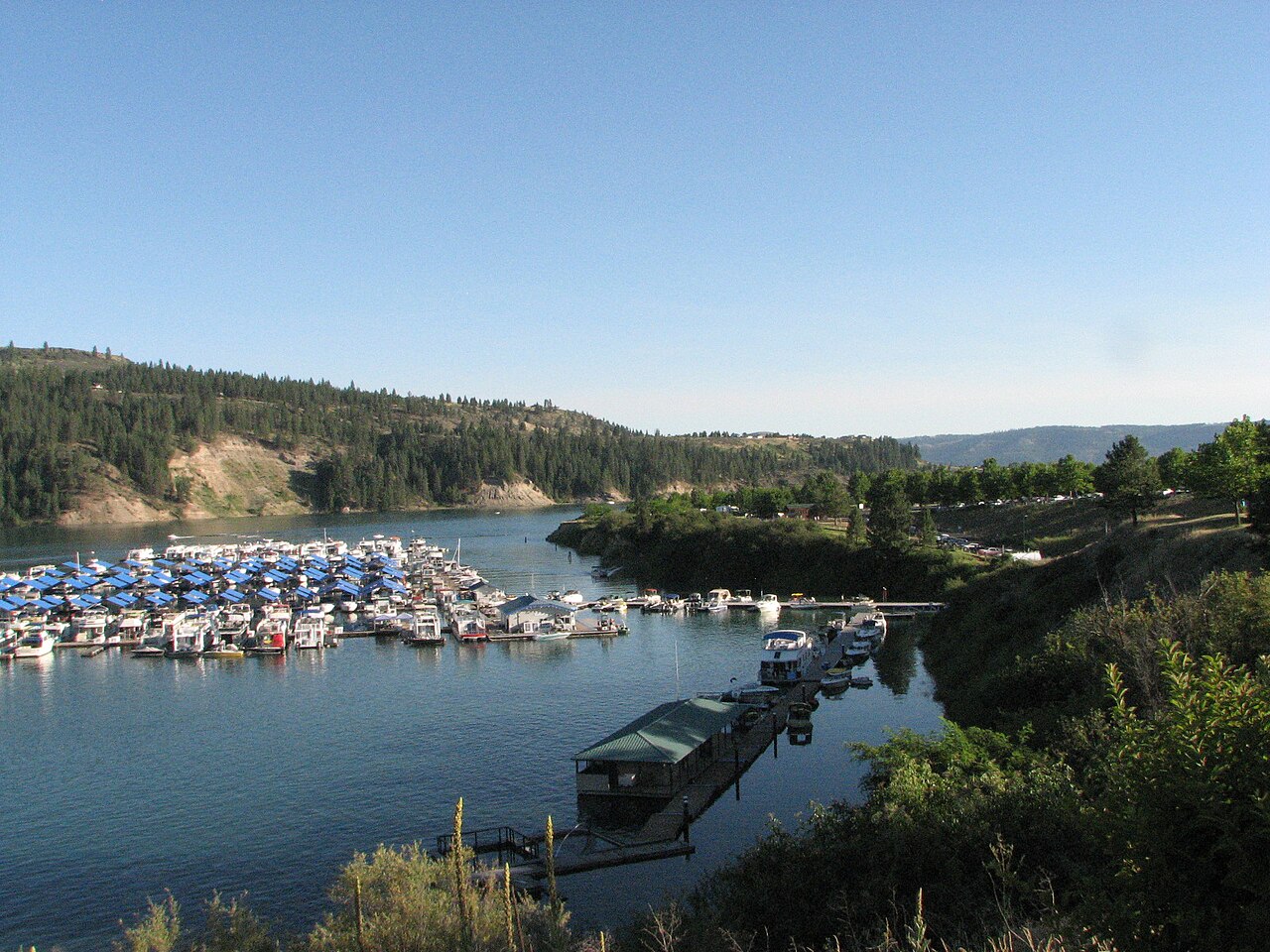
Lake Roosevelt
Lake Roosevelt is a 100,389-acre reservoir in Washington. You will find it in Ferry County. It is managed by National Park…
Reservoir2 beaches
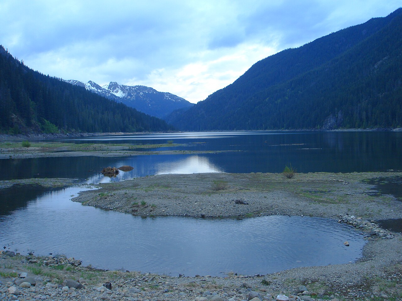
Kachess Lake
Kachess Lake covers about 4,540 acres of the Kachess River in Washington. The lake is in Kittitas County. It is managed by US…
Reservoir
Explore around Washington
Sources
Every figure on this page comes from one of these public sources.