
CountiesGrant County
WashingtonReservoirGrant County
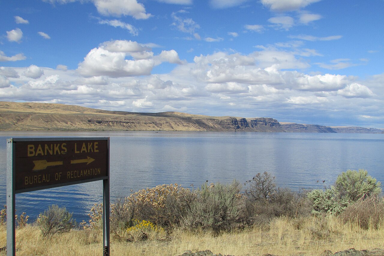
Banks Lake
Banks Lake is a 26,886-acre reservoir on the Columbia River in Washington. Its shoreline falls inside Grant County. It is managed by USBR / WA State Parks (Steamboat Rock & Sun Lakes-Dry Falls SP) / WDFW.
Coordinates47.8375, -119.1761
Surface area26,886 acres
Max depth46 ft
RiverColumbia River
Managed byUSBR / WA State Parks (Steamboat Rock & Sun Lakes-Dry Falls SP) / WDFW
Swimming beaches on Banks Lake
No named swimming beach is mapped yet for this lake. Access is through agency day-use areas and boat ramps listed below. We add beach pages only when we can confirm a name, coordinates and an operating agency.
Banks Lake on the map
Lake center, swimming spots and access points.
Weather and water temperature
Air temperature and wind from Open-Meteo. Water temperature only when the lake has a public sensor.
Weather data by Open-Meteo
A closer look at Banks Lake
Its coordinates are 47.8375, -119.1761. The deepest point on record is about 46 feet. The surface sits around 1,571 feet above sea level. Outflow feeds the Columbia River.
For a lake this size, the park office is the fastest way to learn how the water sits today. There is no live level reading for Banks Lake. The agencies that run this water do not publish one openly, and we do not estimate what has not been measured.
Many smaller lakes have no designated beach at all, only informal shoreline access. Minneapolis Beach, on Lake Chelan, is the closest named beach in this guide, about 44 miles off. No agency lists a named swimming spot at Banks Lake. Shoreline access here is likely informal.
Nearby water includes Rufus Woods Lake (Washington, 23 mi), Billy Clapp Lake (Washington, 27 mi) and Lake Lenore (Washington, 28 mi). Washington has 45 lakes on this site in total.
Most Washington day-use areas open for the summer season and close outside it. Water temperature is not measured at this lake by any public agency we read. Algae blooms are seasonal and local: look for posted signs at the ramp or park entrance.
Questions about Banks Lake
Is there a beach at Banks Lake?
No named swimming beach appears in the federal and state datasets this guide reads. Check the operating agency for day-use areas on the ground.
How big is Banks Lake?
About 26,886 acres. Maximum depth is around 46 feet.
What other lakes are near Banks Lake?
The closest in this guide is Rufus Woods Lake, about 23 miles away in Washington.
Lakes near Banks Lake
Other lakes in this guide, ordered by distance.
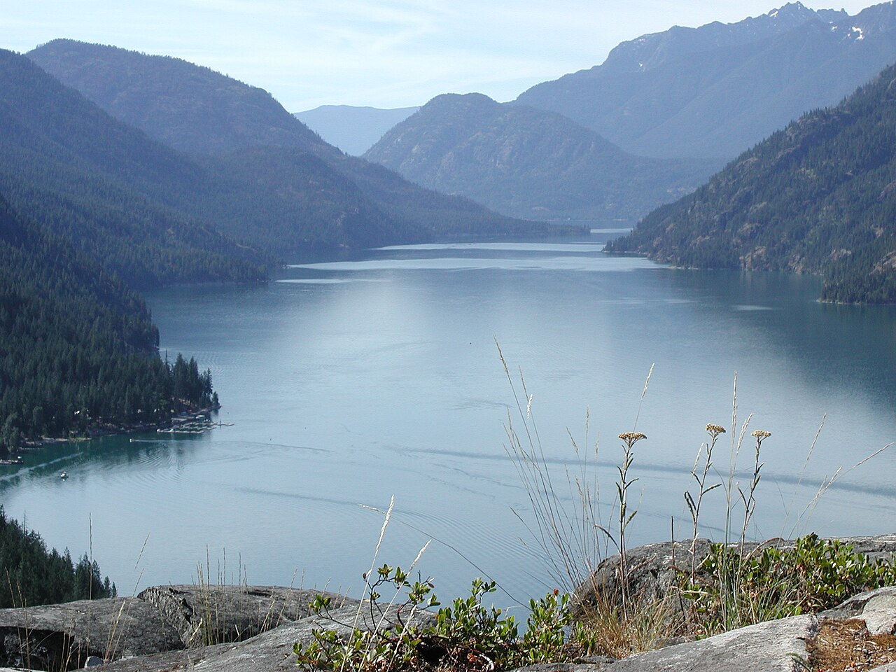
Lake Chelan
Lake Chelan is a 33,359-acre reservoir on the Chelan River in Washington. You will find it in Chelan County. Management is in the…
Reservoir1 beach
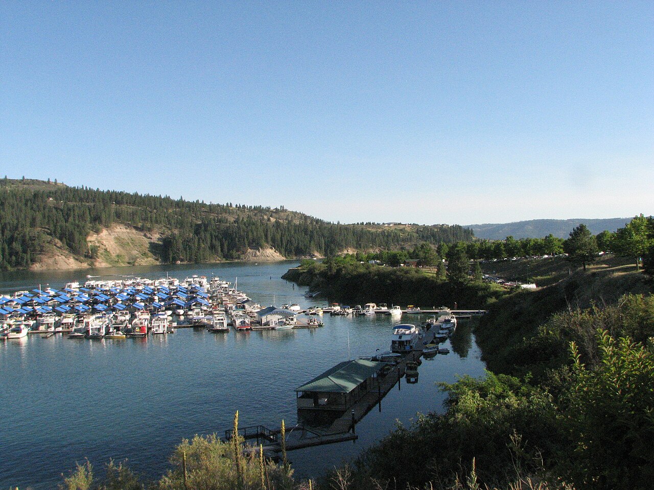
Lake Roosevelt
Lake Roosevelt is a 100,389-acre reservoir in Washington. You will find it in Ferry County. It is managed by National Park…
Reservoir2 beaches
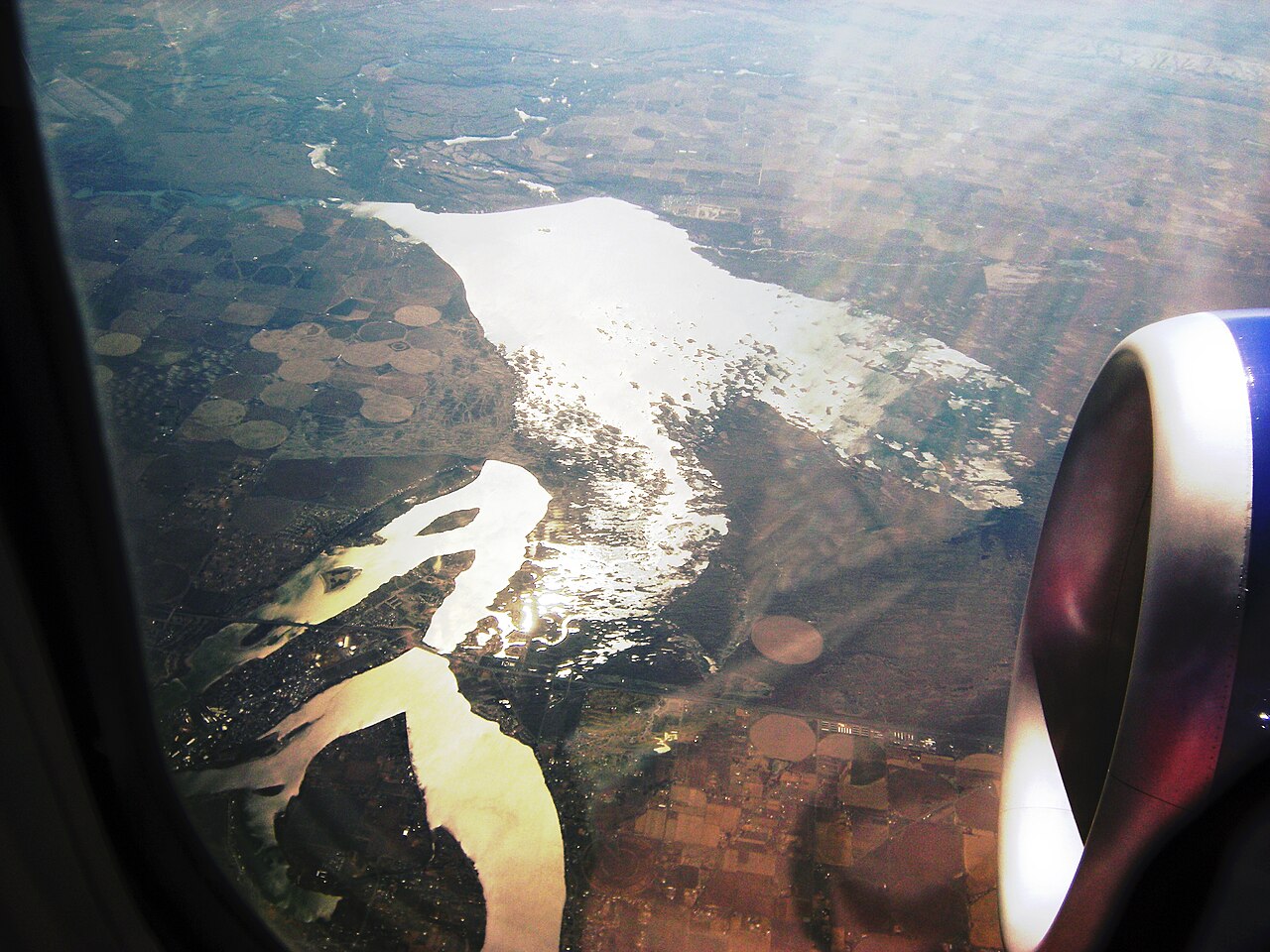
Moses Lake
Moses Lake covers about 6,715 acres of the Crab Creek in Washington. Its shoreline falls inside Grant County. It is managed by…
Reservoir
Lake Wenatchee
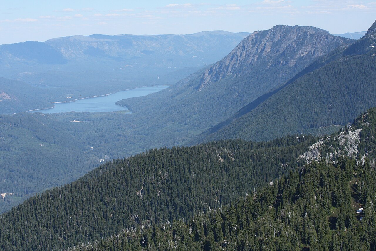
Fed by the Wenatchee River, Lake Wenatchee holds roughly 2,481 acres of water in Washington. It lies in Chelan County. It is…
Natural lake
Cle Elum Lake
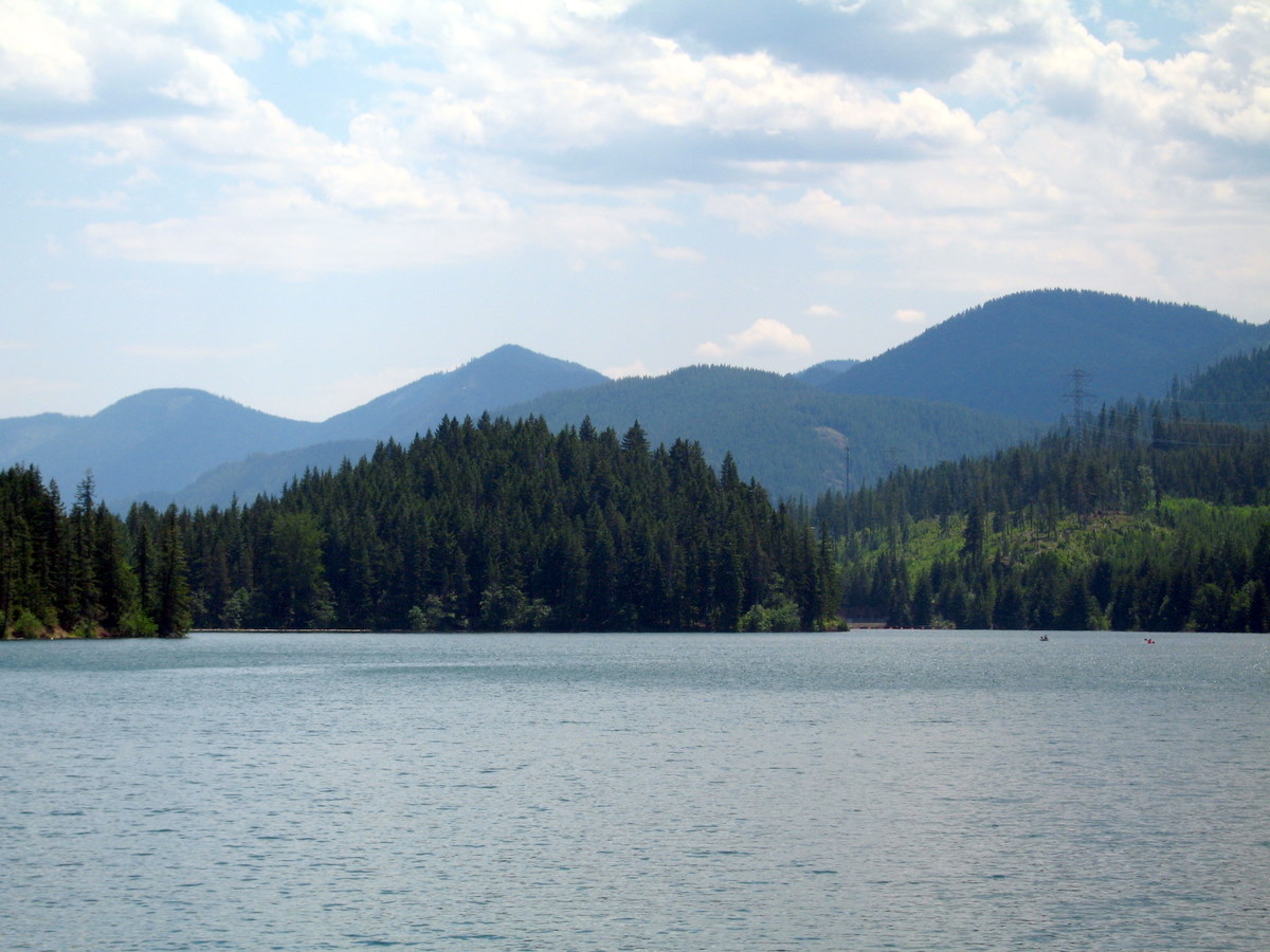
Fed by the Cle Elum River, Cle Elum Lake holds roughly 4,566 acres of water in Washington. You will find it in Kittitas County.…
Reservoir1 beach
Kachess Lake
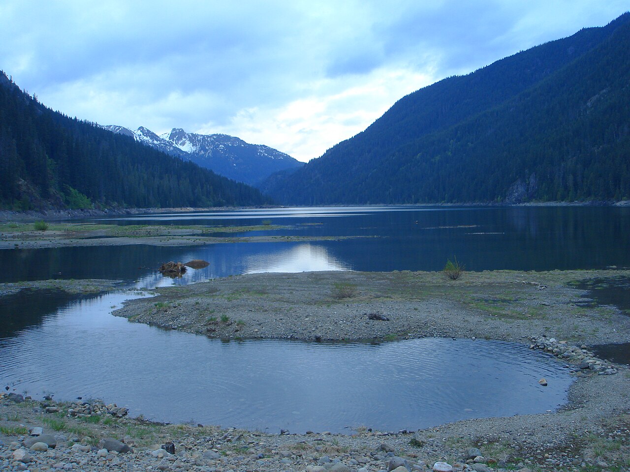
Kachess Lake covers about 4,540 acres of the Kachess River in Washington. The lake is in Kittitas County. It is managed by US…
Reservoir
Explore around Washington
Sources
Every figure on this page comes from one of these public sources.