
CountiesTroup County
GeorgiaReservoirTroup County
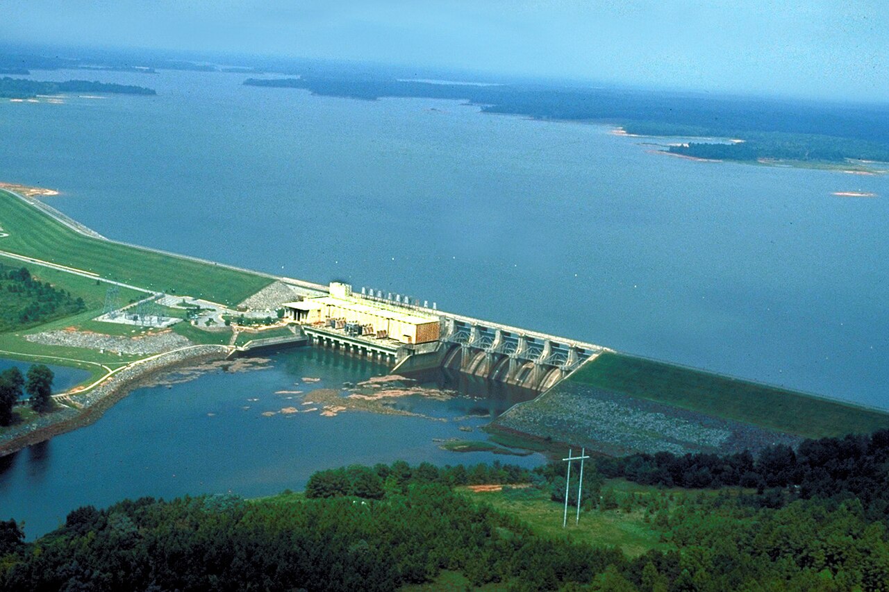
West Point Lake
West Point Lake is a 25,864-acre reservoir on the Chattahoochee River in Georgia. The lake is in Troup County. USACE Mobile District manages it. The gauge last read 629.63 ft.
Water level today: 629.63 ft · see the full record
Coordinates32.9403, -85.1908
Surface area25,864 acres
Max depth85 ft
RiverChattahoochee River
Managed byUSACE Mobile District
Swimming beaches on West Point Lake
No named swimming beach is mapped yet for this lake. Access is through agency day-use areas and boat ramps listed below. We add beach pages only when we can confirm a name, coordinates and an operating agency.
West Point Lake on the map
Lake center, swimming spots and access points.
Weather and water temperature
Air temperature and wind from Open-Meteo. Water temperature only when the lake has a public sensor.
Weather data by Open-Meteo
Water level today
Station 02339400, WEST POINT LAKE NEAR WEST POINT, GA, publishes the water surface elevation used here. The last value stored here, 629.63 ft, is from 2026-09-09. The Corps of Engineers puts the top of the flood pool at 641.0 ft. Over the record shown on the level page the gauge has moved between 623.84 ft and 635.80 ft (low on 2025-10-28, high on 2026-07-27). The top of the dam sits at 652.0 ft. Beach width and ramp access both move with the pool, so the number above is worth a look first.
629.63 ft -1.32 ft in 7 days
Is West Point Lake good for swimming?
Its coordinates are 32.9403, -85.1908. The deepest point on record is about 85 feet. It lies at roughly 635 feet of elevation. Outflow feeds the Chattahoochee River.
Swimming season in Georgia runs through the warm months, and day-use areas set their own opening dates. No public sensor reports water temperature at West Point Lake, so the panel shows air temperature and wind. Algae blooms are seasonal and local: look for posted signs at the ramp or park entrance.
Station 02339400, WEST POINT LAKE NEAR WEST POINT, GA, publishes the water surface elevation used here. The last value stored here, 629.63 ft, is from 2026-09-09. The Corps of Engineers puts the top of the flood pool at 641.0 ft. Over the record shown on the level page the gauge has moved between 623.84 ft and 635.80 ft (low on 2025-10-28, high on 2026-07-27). The top of the dam sits at 652.0 ft. Beach width and ramp access both move with the pool, so the number above is worth a look first.
Around West Point Lake this guide maps 15 public recreation areas. Recreation areas nearby include Anderson Park, Hardley Creek Park and Southern Harbor. Fees and opening dates are set by each park, not by the agency that runs the water.
If West Point Lake is busy, the nearest alternatives here are Lake Harding (Georgia, 20 mi), Lake Martin (Alabama, 43 mi) and Lake McIntosh (Georgia, 46 mi). Georgia has 23 lakes on this site in total.
Recreation areas on West Point Lake
15 public recreation areas mapped around the lake by the U.S. Army Corps of Engineers. Facilities vary by area; check the managing office for opening dates and fees.
Anderson Park Hardley Creek Park Southern Harbor Eagleview Park R Shaefer Heard Campground R Shaefer Heard Park Long Cane Park Amity Campground Earl Cook Recreation Area Rocky Point Recreation Area Alligator Creek Park Glass Bridge Park Veasey Creek Park Holiday Campground Whitetail Ridge Campground
Source: USACE Recreation Areas
Questions about West Point Lake
Is there a beach at West Point Lake?
No named swimming beach appears in the federal and state datasets this guide reads. Check the operating agency for day-use areas on the ground.
How big is West Point Lake?
About 25,864 acres. Maximum depth is around 85 feet.
What other lakes are near West Point Lake?
The closest in this guide is Lake Harding, about 20 miles away in Georgia.
Lakes near West Point Lake
Other lakes in this guide, ordered by distance.
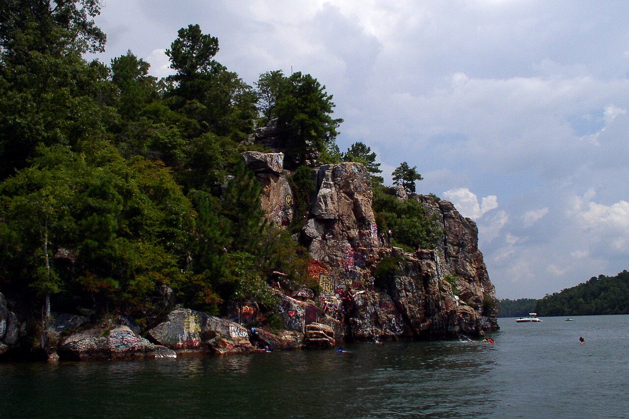
Lake Martin
Lake Martin is a reservoir of some 44,479 acres on the Tallapoosa River, in Alabama. Its shoreline falls inside Elmore County.…
Reservoir
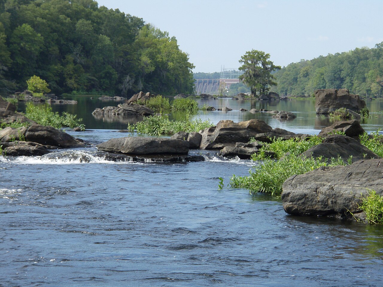
Lake Jordan
Lake Jordan is a reservoir of some 6,800 acres on the oceans =, in Alabama. It lies in Elmore County. It is managed by Alabama…
Reservoir
Logan Martin Lake
Fed by the outflow =, Logan Martin Lake holds roughly 15,263 acres of water in Alabama. The lake is in Talladega County. Alabama…
Reservoir
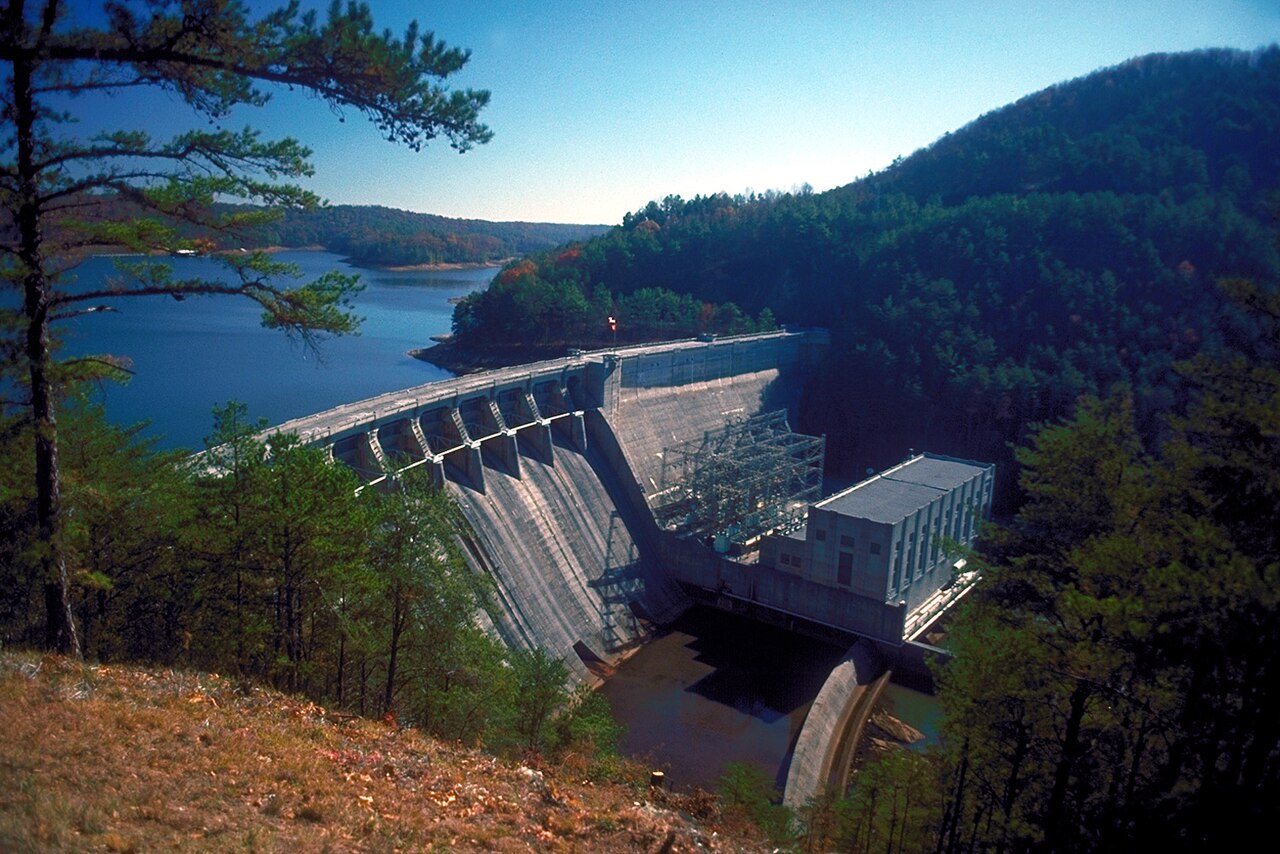
Lake Allatoona
Lake Allatoona is a reservoir of some 12,010 acres on the Etowah River, in Georgia. You will find it in Cherokee County.…
Reservoir3 beaches
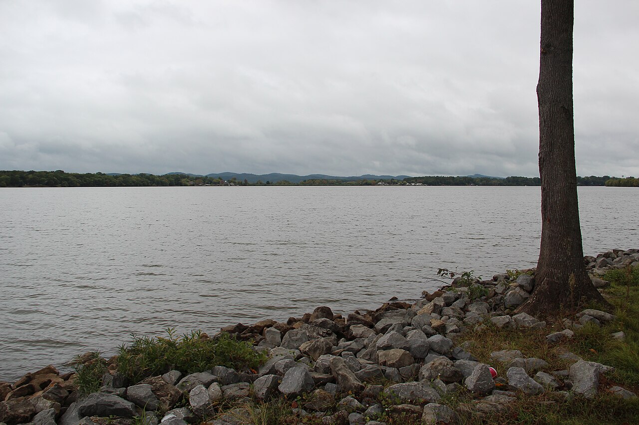
Weiss Lake
Weiss Lake is a reservoir of some 30,200 acres on the Coosa River, in Alabama. You will find it in Cherokee County. It is managed…
Reservoir
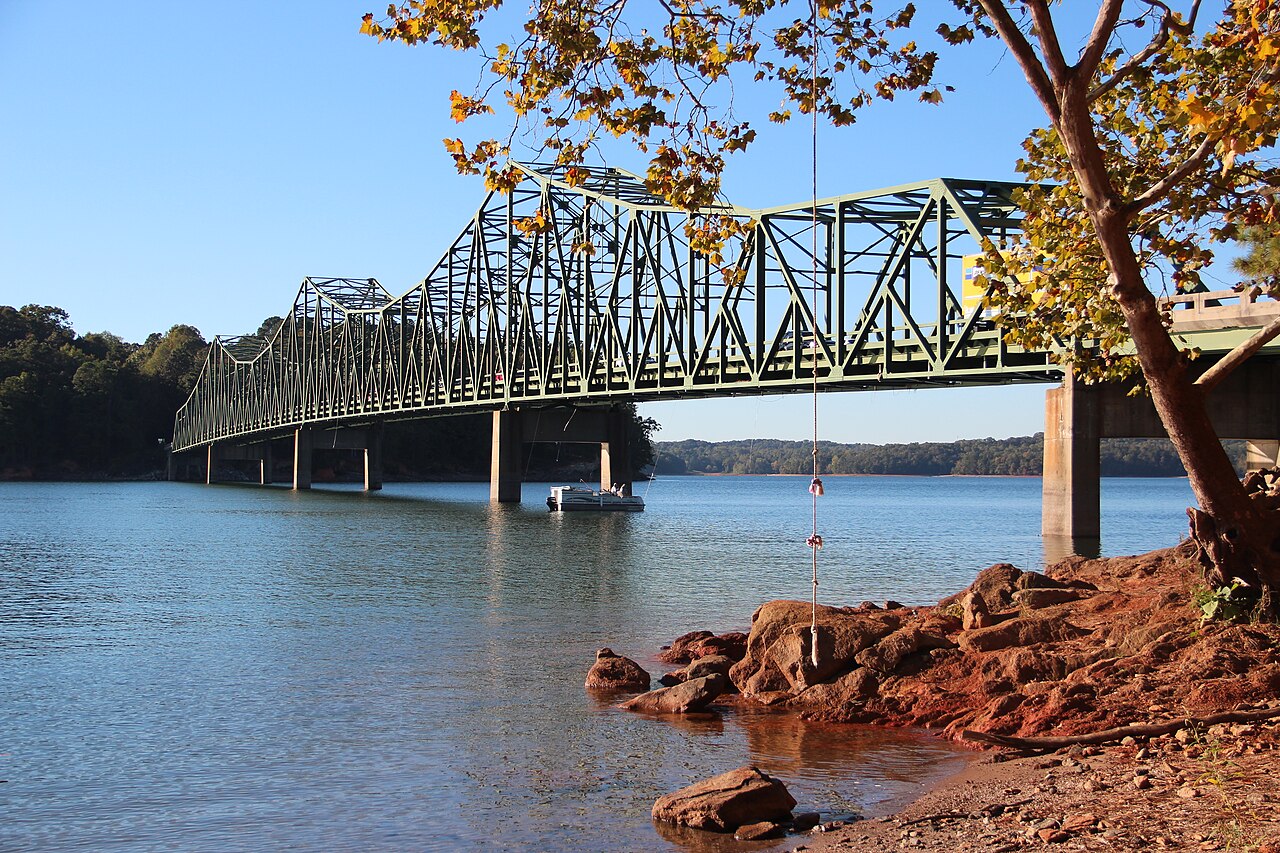
Lake Lanier
Lake Lanier covers about 38,000 acres north of Atlanta, created when Buford Dam closed the Chattahoochee River in 1956. The lake…
Reservoir
Explore around Georgia
Sources
Every figure on this page comes from one of these public sources.