
CountiesHall, Forsyth, Dawson, Gwinnett and Lumpkin counties
GeorgiaReservoirHall County
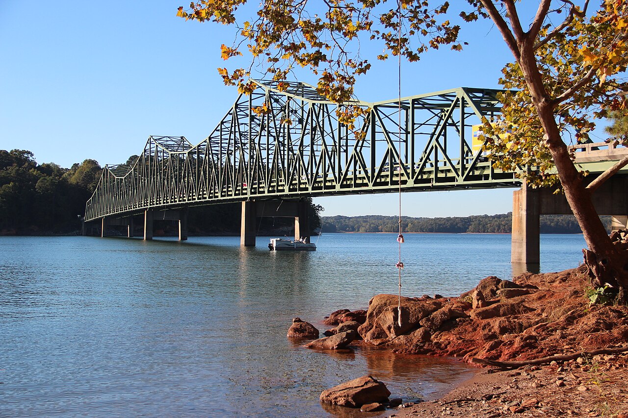
Lake Lanier
Lake Lanier covers about 38,000 acres north of Atlanta, created when Buford Dam closed the Chattahoochee River in 1956. The lake has roughly 692 miles of shoreline and a full pool of 1,071 feet above sea level. Corps of Engineers day-use parks and Georgia state park units provide the swimming beaches, most of them charging a parking fee in season.
Water level today: 1,065.16 ft · see the full record
Nearest townGainesville, GA
Coordinates34.2400, -83.9500
Surface area38,000 acres
Max depth156 ft
Shoreline692 mi
Full pool1,071.0 ft
RiverChattahoochee River
Completed1956
Managed byU.S. Army Corps of Engineers, Mobile District
Swimming beaches on Lake Lanier
No named swimming beach is mapped yet for this lake. Access is through agency day-use areas and boat ramps listed below. We add beach pages only when we can confirm a name, coordinates and an operating agency.
Lake Lanier on the map
Lake center, swimming spots and access points.
Weather and water temperature
Air temperature and wind from Open-Meteo. Water temperature only when the lake has a public sensor.
Weather data by Open-Meteo
Water level today
Lanier is a storage reservoir that fills in winter and spring and draws down through summer and fall. Full pool is 1,071 feet. The Corps of Engineers publishes 1,085 feet as the top of the flood pool and 1,035 feet as the bottom of the operating range, and the USGS gauge near Buford reports the elevation daily.
1,065.16 ft -0.40 ft in 7 days
Swimming at Lake Lanier
The reservoir is fed by the Chattahoochee and the Chestatee rivers and sits within an hour of Atlanta, which makes it the busiest recreational lake in Georgia. It is named after the poet Sidney Lanier, a Confederate veteran, and that name has been the subject of public debate in recent years.
Swimming is organized around designated beaches at Corps of Engineers parks and at Don Carter State Park on the northern end. Beaches open for the summer season and close outside it, and none of them is patrolled full time. Away from the beaches the shoreline is steep, wooded and often private.
The lake has a wide operating band. The Corps of Engineers sets the top of the flood pool at 1,085 feet, the top of the dam at 1,106 feet and the bottom of the operating range at 1,035 feet. Since 1989 the actual pool has ranged from 1,050.82 feet in December 2007 to 1,076.67 feet in February 2020.
Late summer is drawdown season. The gauge near Buford read 1,065.16 feet, about 6 feet below full pool, which is normal for September and widens the sand at the day-use beaches. Boat traffic is heavy on summer weekends, so swimming areas are marked with buoys and worth staying inside.
Recreation areas on Lake Lanier
20 public recreation areas mapped around the lake by the U.S. Army Corps of Engineers. Facilities vary by area; check the managing office for opening dates and fees.
Sunrise Cove Mountain View Old Federal Day Use Lanier Sailing Club Old Federal Vanns Tavern Balus Creek Bethel Keiths Bridge Two Mile Lockheed Long Hollow River Forks Van Pugh North Flowery Branch Van Pugh South Duckett Mill Bolding Bridge
Source: USACE Recreation Areas
Questions about Lake Lanier
Can you swim in Lake Lanier?
Yes, at the designated beaches in Corps of Engineers day-use parks and at Don Carter State Park. Most charge a parking fee and open only for the summer season.
How low has Lake Lanier been?
The lowest daily reading since 1989 was 1,050.82 feet on December 27, 2007. The highest was 1,076.67 feet on February 20, 2020.
Lakes near Lake Lanier
Other lakes in this guide, ordered by distance.
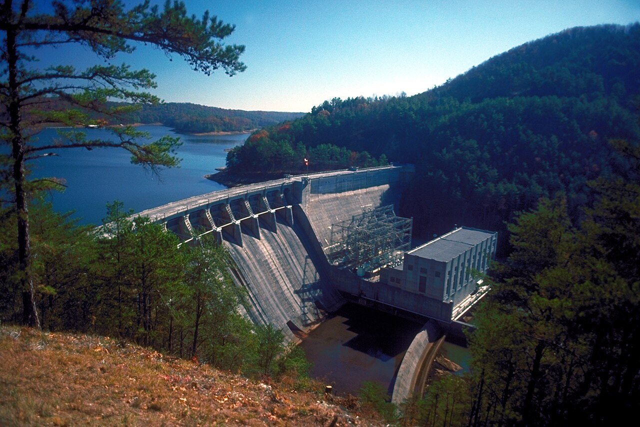
Lake Allatoona
Lake Allatoona is a reservoir of some 12,010 acres on the Etowah River, in Georgia. You will find it in Cherokee County.…
Reservoir3 beaches
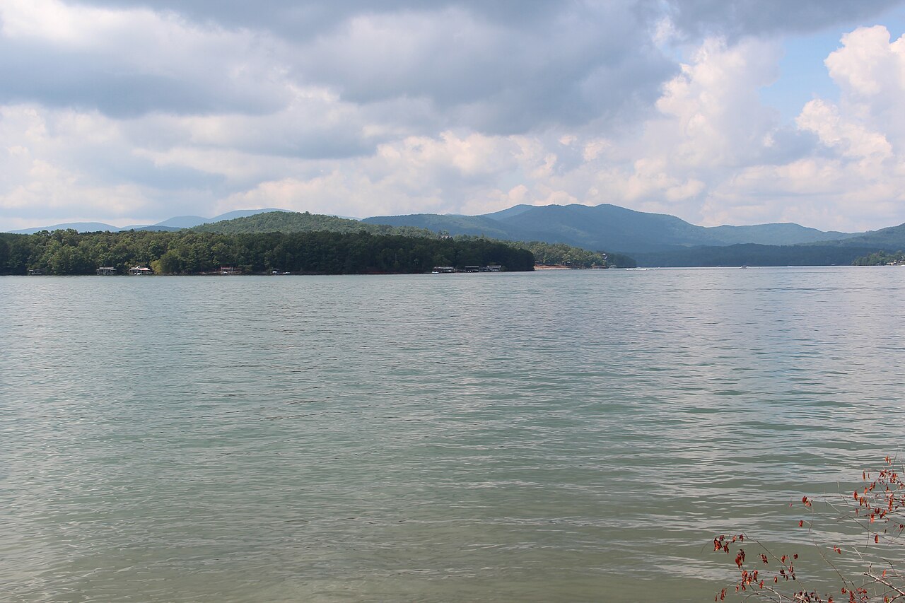
Blue Ridge Lake
Blue Ridge Lake is a reservoir of some 3,300 acres on the Toccoa River, in Georgia. You will find it in Fannin County.
Reservoir
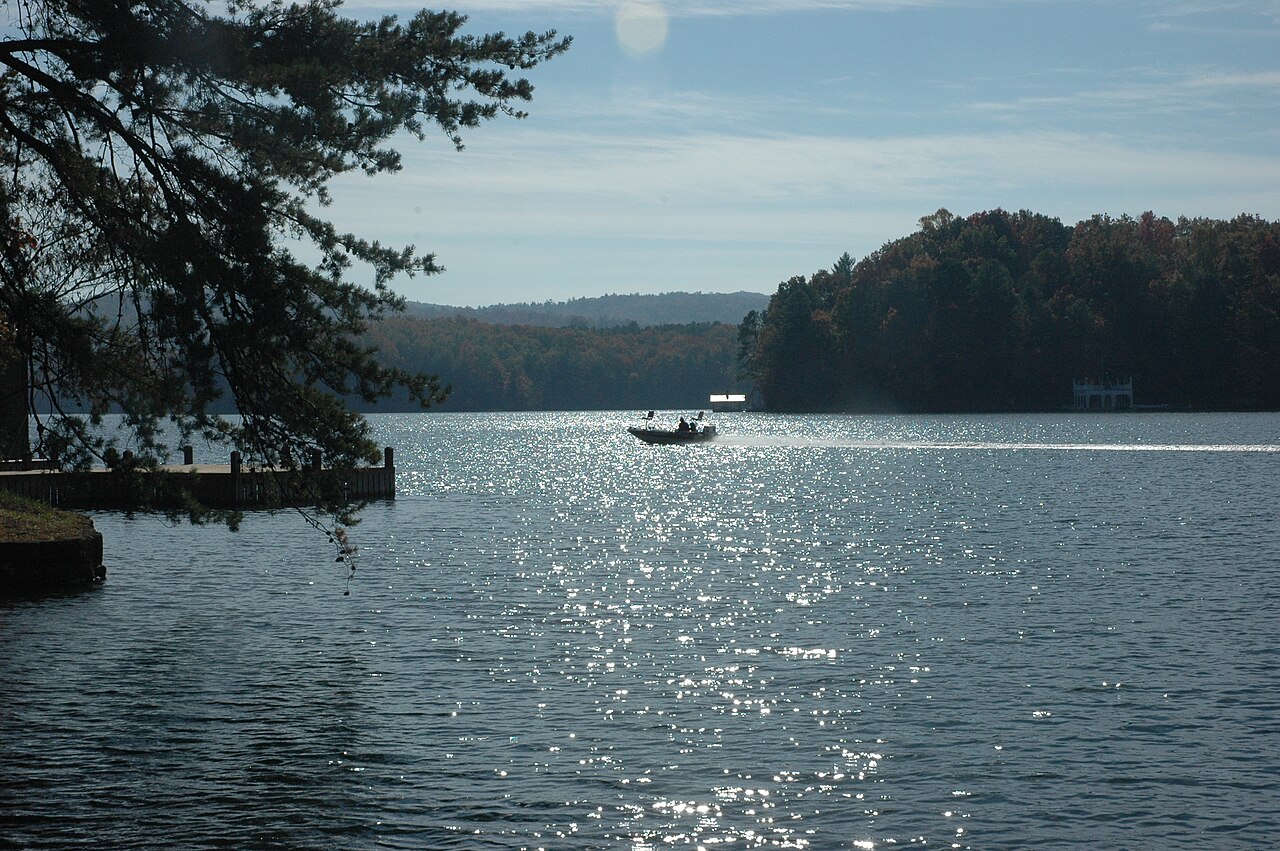
Lake Burton
Lake Burton covers about 2,775 acres of the Tallulah River in Georgia. The lake is in Rabun County. Management is in the hands of…
Reservoir
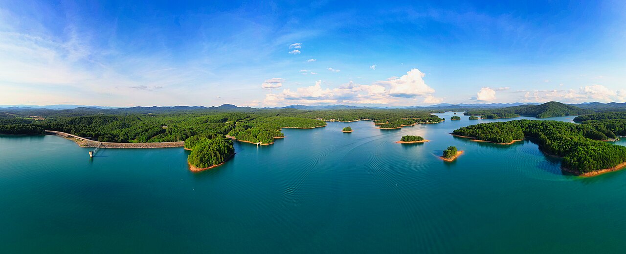
Lake Nottely
Fed by the Nottely River, Lake Nottely holds roughly 4,180 acres of water in Georgia. It lies in Union County. TVA manages it.
Reservoir
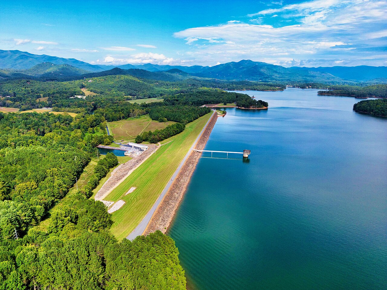
Chatuge Lake
Fed by the outflow =, Chatuge Lake holds roughly 6,919 acres of water in Georgia. You will find it in Clay County. TVA manages it.
Reservoir
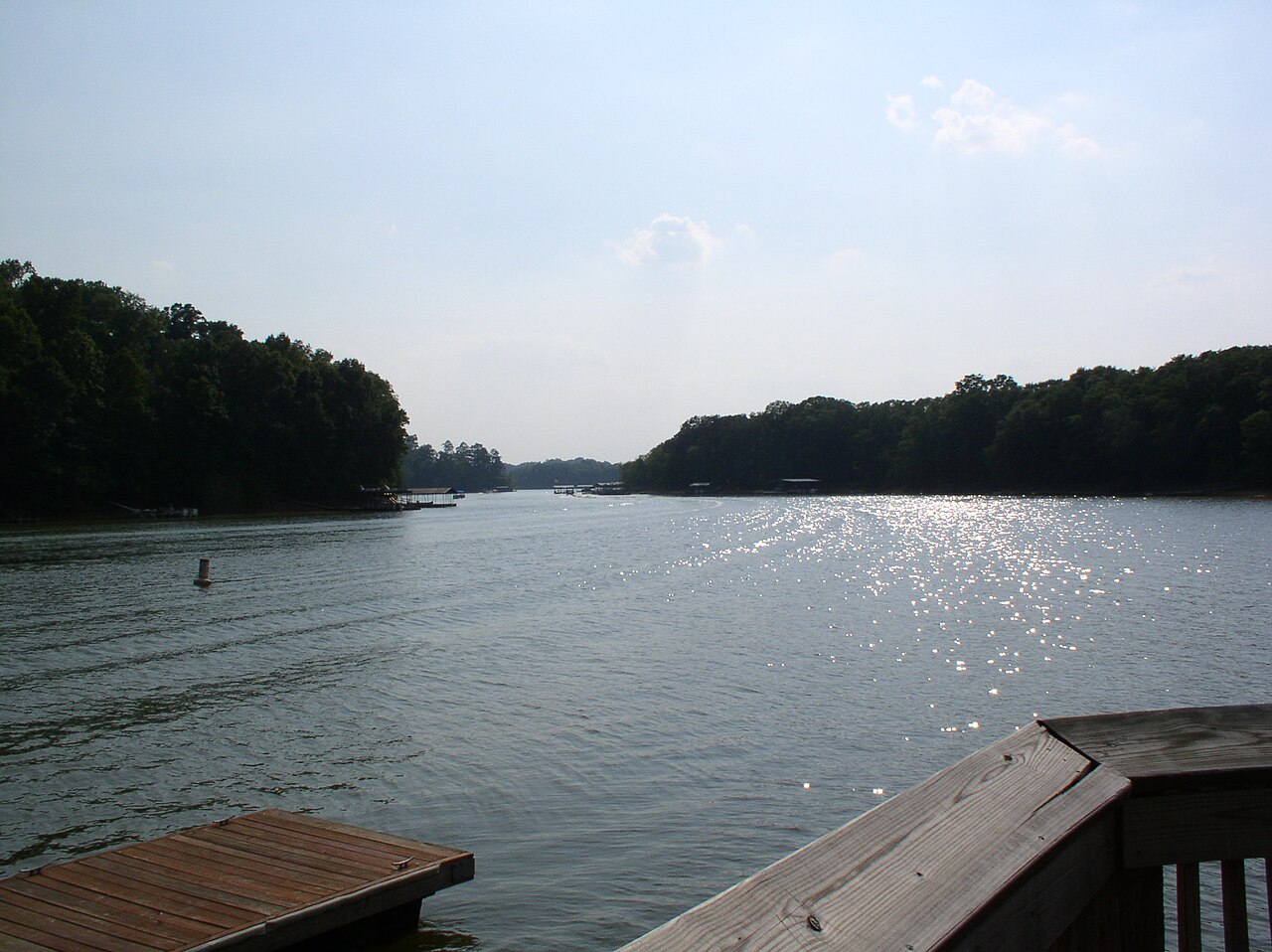
Lake Hartwell
Lake Hartwell is a reservoir of some 56,000 acres on the Savannah River, in South Carolina. It is managed by USACE Savannah…
Reservoir
Explore around Georgia
All lakes in Georgia Lakes near Buford Lakes near Sugar Hill
Sources
Every figure on this page comes from one of these public sources.