
CountiesCherokee County
GeorgiaReservoirCherokee County
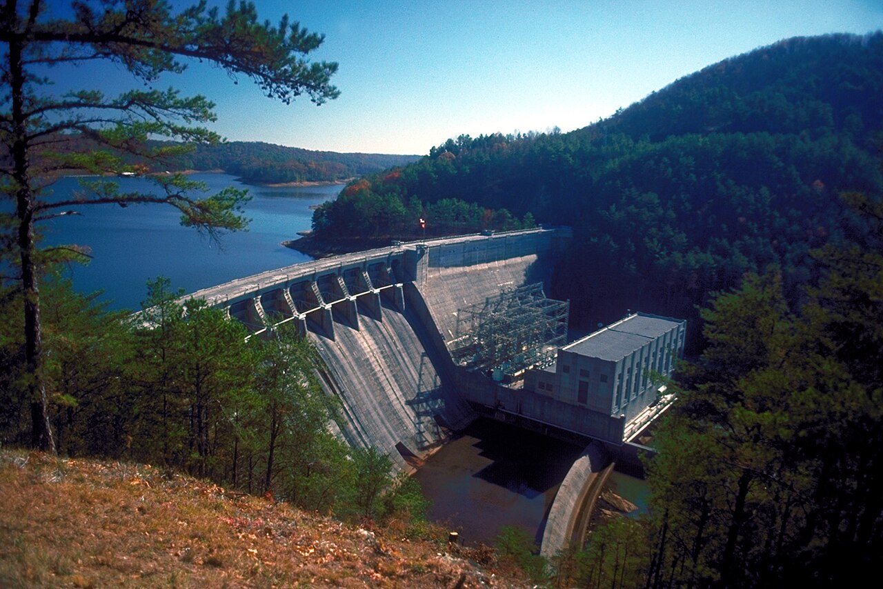
Lake Allatoona
Lake Allatoona is a reservoir of some 12,010 acres on the Etowah River, in Georgia. You will find it in Cherokee County. Management is in the hands of USACE Mobile District. The gauge last read 838.22 ft.
Water level today: 838.22 ft · see the full record
Coordinates34.1383, -84.6439
Surface area12,010 acres
Max depth145 ft
RiverEtowah River
Managed byUSACE Mobile District
Swimming beaches on Lake Allatoona
3 named swimming spots and shoreline access points, from USGS GNIS, Recreation.gov and the Forest Service. None is staffed by a lifeguard unless the operating agency posts one.
Lake Allatoona on the map
Lake center, swimming spots and access points.
Weather and water temperature
Air temperature and wind from Open-Meteo. Water temperature only when the lake has a public sensor.
Weather data by Open-Meteo
Water level today
The level comes from gauge 02393500, ALLATOONA LAKE NEAR CARTERSVILLE, GA, and carries the time it was taken. The Corps of Engineers puts the top of the flood pool at 860.0 ft. The top of the dam sits at 870.0 ft. The last value stored here, 838.22 ft, is from 2026-09-09. Over the record shown on the level page the gauge has moved between 824.44 ft and 841.59 ft (low on 2026-01-01, high on 2026-07-27). When the pool drops, shoreline beaches grow and shallow ramps can run out of concrete.
838.22 ft -0.65 ft in 7 days
Lake Allatoona at a glance
Lake Allatoona sits at 34.1383, -84.6439. It reaches roughly 145 feet at its deepest. Water leaves through the Etowah River. Surface elevation is about 840 feet.
The shoreline of Lake Allatoona has 3 named swimming spots in the datasets we read. Among them are Upper Tanyard Creek Swimming Beach, PS Marina 3 - Allatoona Landing and Bartow Beach. These come from Recreation.gov (RIDB) and USGS GNIS. None is staffed by a lifeguard unless the managing agency posts one.
The closest lakes in this guide are Carters Lake (Georgia, 32 mi), Lake Lanier (Georgia, 40 mi) and Randy Poynter Lake (Georgia, 49 mi). Georgia has 23 lakes on this site in total.
If the water looks like pea soup or paint, stay out and report it to the managing agency. Most Georgia day-use areas open for the summer season and close outside it. There is no water temperature sensor here, so only air conditions are shown.
The level comes from gauge 02393500, ALLATOONA LAKE NEAR CARTERSVILLE, GA, and carries the time it was taken. The Corps of Engineers puts the top of the flood pool at 860.0 ft. The top of the dam sits at 870.0 ft. The last value stored here, 838.22 ft, is from 2026-09-09. Over the record shown on the level page the gauge has moved between 824.44 ft and 841.59 ft (low on 2026-01-01, high on 2026-07-27). When the pool drops, shoreline beaches grow and shallow ramps can run out of concrete.
Questions about Lake Allatoona
Can you swim in Lake Allatoona?
Yes. This guide maps 3 named swimming spots around the lake, including Upper Tanyard Creek Swimming Beach and PS Marina 3 - Allatoona Landing. None is staffed by a lifeguard unless the operating agency posts one.
How big is Lake Allatoona?
About 12,010 acres. Maximum depth is around 145 feet.
What other lakes are near Lake Allatoona?
The closest in this guide is Carters Lake, about 32 miles away in Georgia.
Lakes near Lake Allatoona
Other lakes in this guide, ordered by distance.
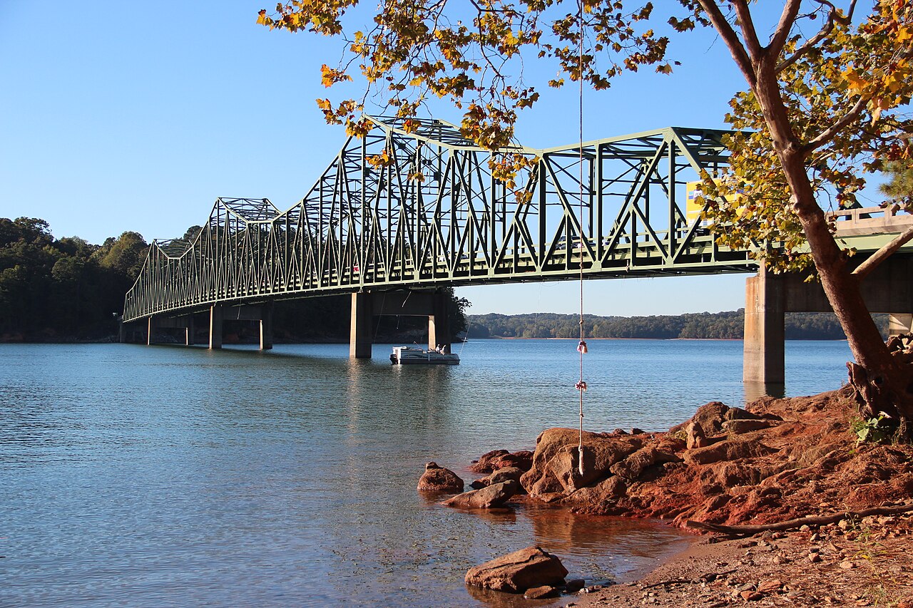
Lake Lanier
Lake Lanier covers about 38,000 acres north of Atlanta, created when Buford Dam closed the Chattahoochee River in 1956. The lake…
Reservoir
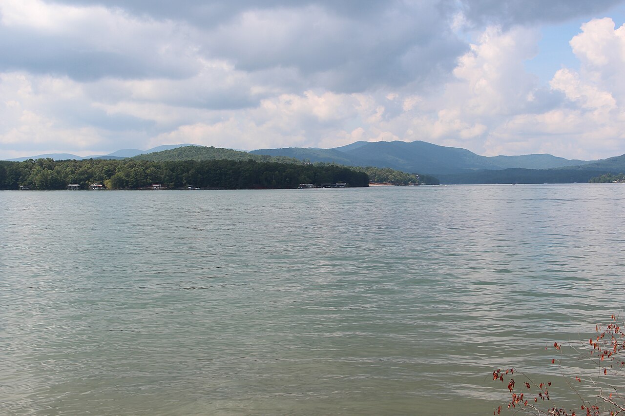
Blue Ridge Lake
Blue Ridge Lake is a reservoir of some 3,300 acres on the Toccoa River, in Georgia. You will find it in Fannin County.
Reservoir
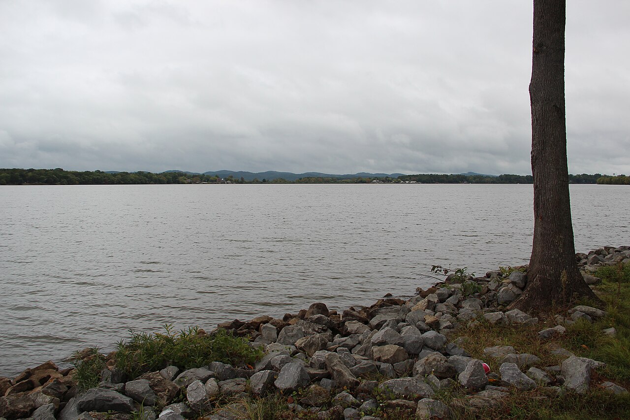
Weiss Lake
Weiss Lake is a reservoir of some 30,200 acres on the Coosa River, in Alabama. You will find it in Cherokee County. It is managed…
Reservoir
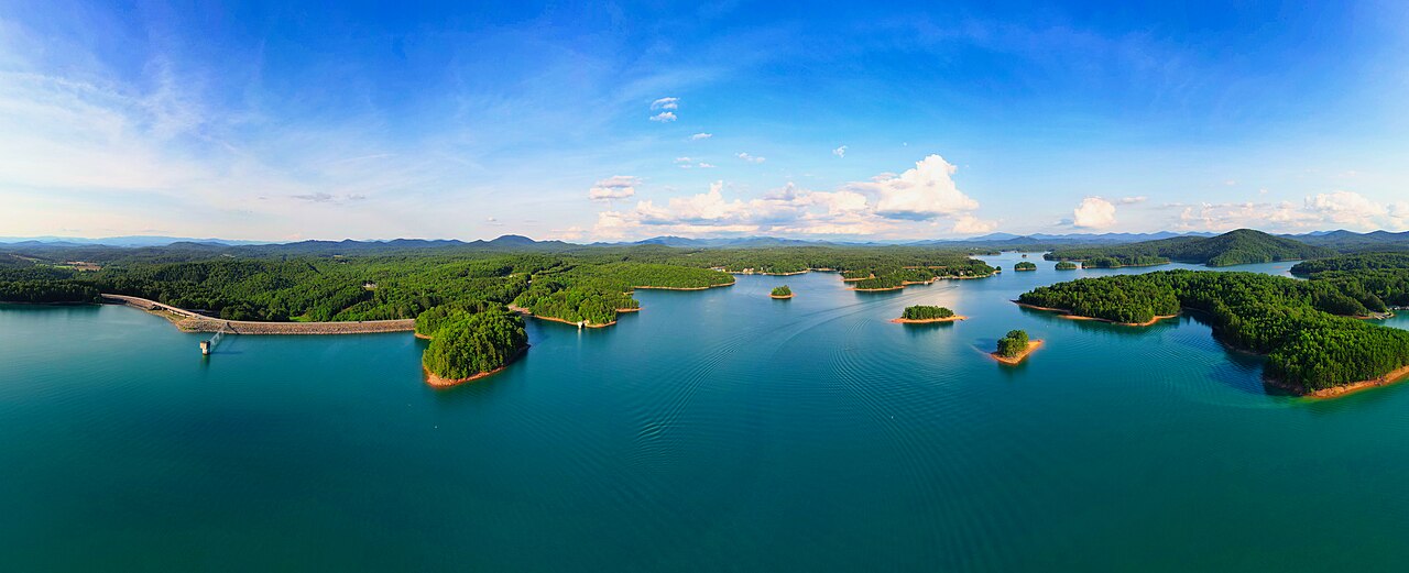
Lake Nottely
Fed by the Nottely River, Lake Nottely holds roughly 4,180 acres of water in Georgia. It lies in Union County. TVA manages it.
Reservoir
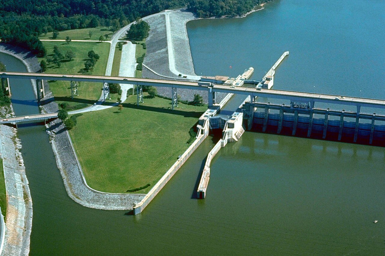
Chickamauga Lake
Chickamauga Lake is a 36,240-acre reservoir on the Tennessee River in Tennessee. It is managed by Tennessee Valley Authority.
Reservoir
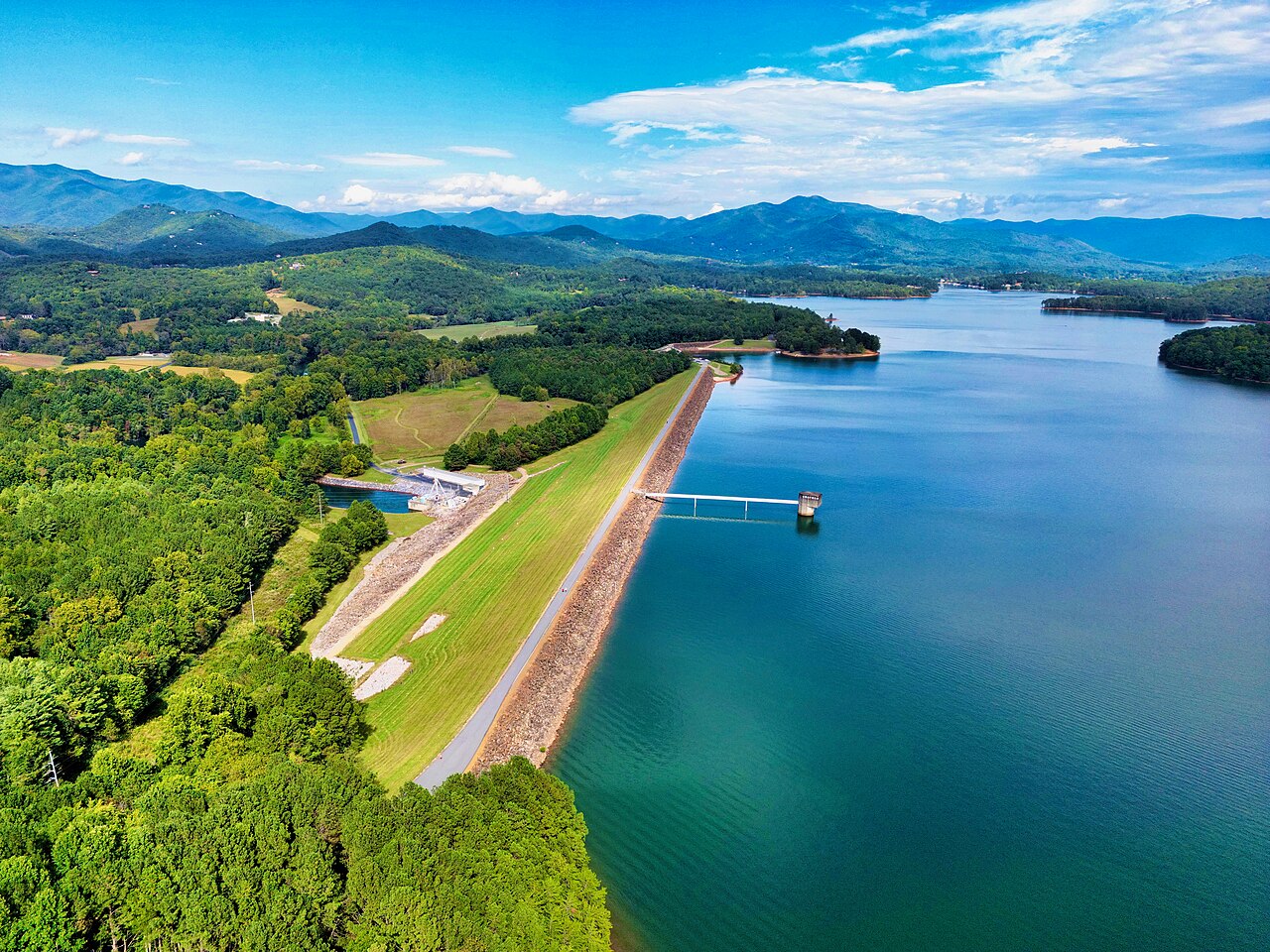
Chatuge Lake
Fed by the outflow =, Chatuge Lake holds roughly 6,919 acres of water in Georgia. You will find it in Clay County. TVA manages it.
Reservoir
Explore around Georgia
Sources
Every figure on this page comes from one of these public sources.