
CountiesPutnam County
GeorgiaReservoirPutnam County

Lake Oconee
Lake Oconee is a 19,071-acre reservoir on the Oconee River in Georgia. It lies in Putnam County. Georgia Power (FERC-licensed) manages it.
Coordinates33.3500, -83.1570
Surface area19,071 acres
Max depth102 ft
RiverOconee River
Managed byGeorgia Power (FERC-licensed)
Swimming beaches on Lake Oconee
No named swimming beach is mapped yet for this lake. Access is through agency day-use areas and boat ramps listed below. We add beach pages only when we can confirm a name, coordinates and an operating agency.
Lake Oconee on the map
Lake center, swimming spots and access points.
Weather and water temperature
Air temperature and wind from Open-Meteo. Water temperature only when the lake has a public sensor.
Weather data by Open-Meteo
Lake Oconee: beaches, ramps and water level
Its coordinates are 33.3500, -83.1570. Outflow feeds the Oconee River. It reaches roughly 102 feet at its deepest. It lies at roughly 434 feet of elevation.
No public sensor reports water temperature at Lake Oconee, so the panel shows air temperature and wind. Season dates vary by park; the operating agency publishes them each spring. Inland lakes are not monitored the way ocean beaches are, so posted signs matter more here.
If the operating agency starts publishing a level for this lake, it will appear here. Lake Oconee has no public water level gauge that we can read, so there is no level chart here. An invented number would be worse than none.
A missing beach entry often just means nobody has catalogued the access point yet. The federal and state datasets behind this guide list no named beach at Lake Oconee. That does not mean there is no access, only that none is catalogued.
The closest lakes in this guide are Lake Sinclair (Georgia, 15 mi), Randy Poynter Lake (Georgia, 53 mi) and Lake Russell (South Carolina, 56 mi). In all, 23 lakes in Georgia are covered here.
Questions about Lake Oconee
Is there a beach at Lake Oconee?
No named swimming beach appears in the federal and state datasets this guide reads. Check the operating agency for day-use areas on the ground.
How big is Lake Oconee?
About 19,071 acres. Maximum depth is around 102 feet.
What other lakes are near Lake Oconee?
The closest in this guide is Lake Sinclair, about 15 miles away in Georgia.
Lakes near Lake Oconee
Other lakes in this guide, ordered by distance.
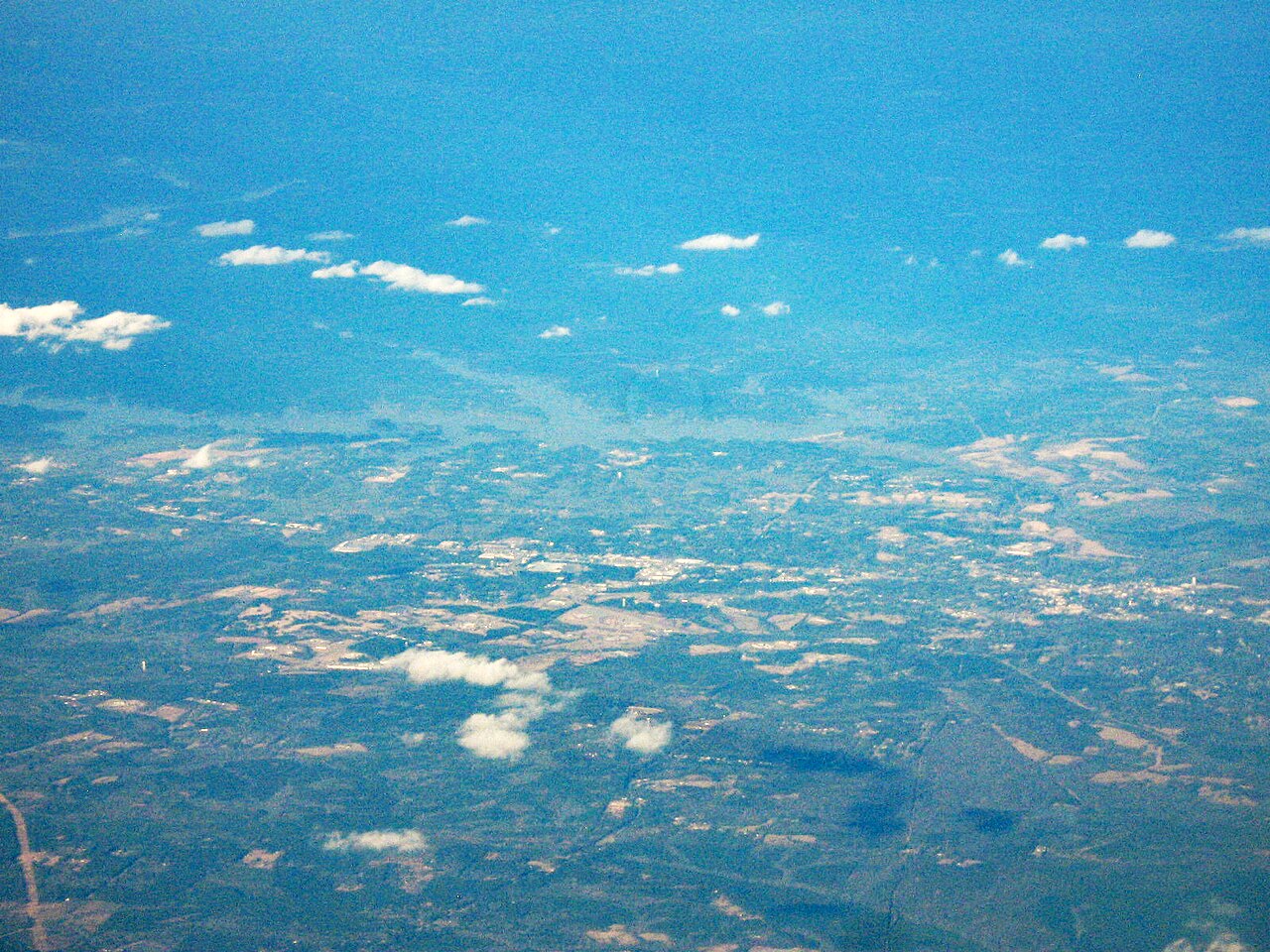
Lake Sinclair
Fed by the Oconee River, Lake Sinclair holds roughly 15,330 acres of water in Georgia. The lake is in Baldwin County. Georgia…
Reservoir
Lake Russell
Lake Russell covers about 26,650 acres in South Carolina. The lake is in Elbert County. Management is in the hands of USACE…
Reservoir
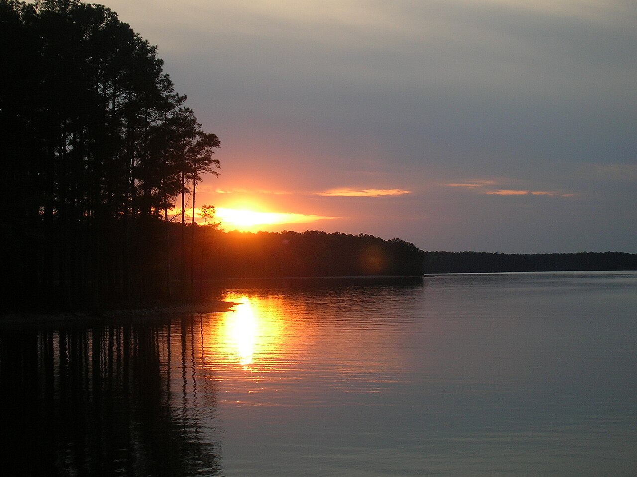
J. Strom Thurmond Lake
J. Strom Thurmond Lake covers about 71,100 acres of the Savannah River in Georgia. The lake is in Lincoln County. It is managed…
Reservoir
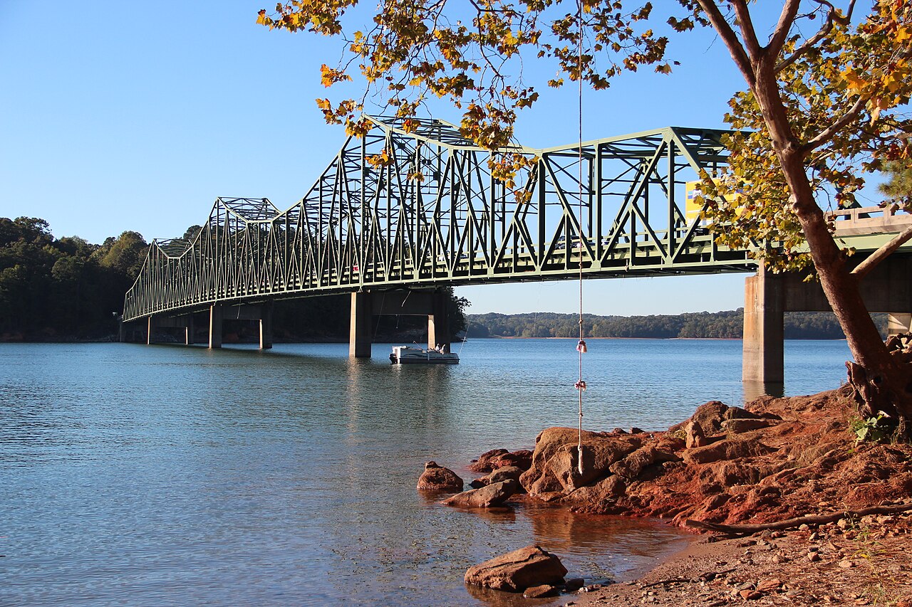
Lake Lanier
Lake Lanier covers about 38,000 acres north of Atlanta, created when Buford Dam closed the Chattahoochee River in 1956. The lake…
Reservoir
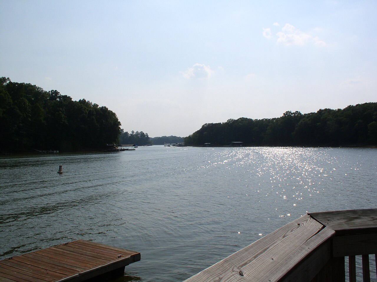
Lake Hartwell
Lake Hartwell is a reservoir of some 56,000 acres on the Savannah River, in South Carolina. It is managed by USACE Savannah…
Reservoir
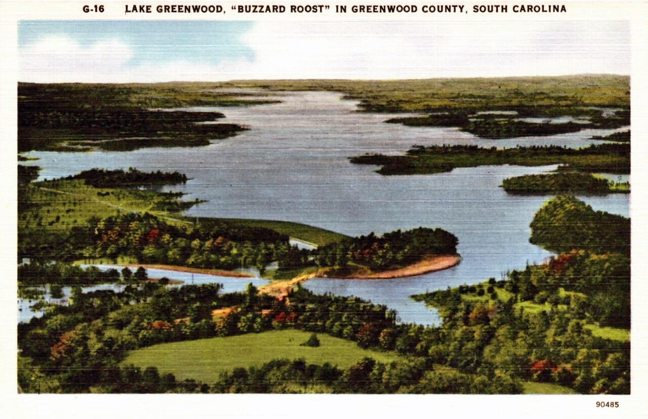
Lake Greenwood
Lake Greenwood is a reservoir of some 11,400 acres on the Saluda River, in South Carolina. You will find it in Laurens County.…
Reservoir
Explore around Georgia
Sources
Every figure on this page comes from one of these public sources.