
Coordinates34.4652, -82.8455
South CarolinaReservoir
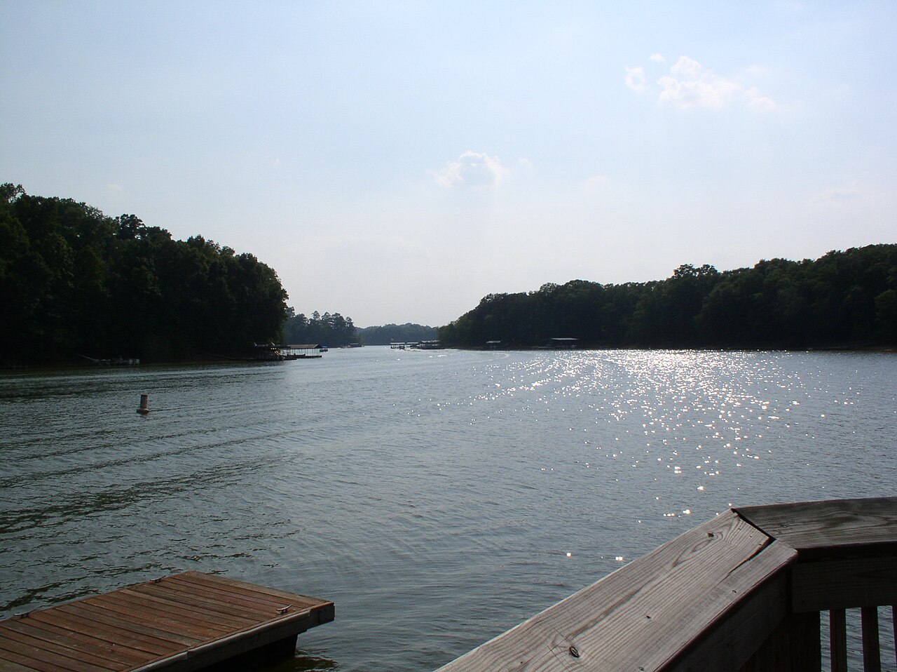
Lake Hartwell
Lake Hartwell is a reservoir of some 56,000 acres on the Savannah River, in South Carolina. It is managed by USACE Savannah District. The gauge last read 650.42 ft.
Water level today: 650.42 ft · see the full record
Surface area56,000 acres
Max depth185 ft
RiverSavannah River
Managed byUSACE Savannah District
Swimming beaches on Lake Hartwell
No named swimming beach is mapped yet for this lake. Access is through agency day-use areas and boat ramps listed below. We add beach pages only when we can confirm a name, coordinates and an operating agency.
Lake Hartwell on the map
Lake center, swimming spots and access points.
Weather and water temperature
Air temperature and wind from Open-Meteo. Water temperature only when the lake has a public sensor.
Weather data by Open-Meteo
Water level today
Readings come from station 02187010 (HARTWELL LAKE NEAR ANDERSON, SC). The last value stored here, 650.42 ft, is from 2026-09-09. Over the record shown on the level page the gauge has moved between 650.42 ft and 658.77 ft (low on 2026-09-06, high on 2025-08-31). Water level decides what is usable on the shoreline, from beach width to ramp access.
650.42 ft -0.38 ft in 7 days
Lake Hartwell explained
The center of the lake is at 34.4652, -82.8455. The surface sits around 660 feet above sea level. Releases go downstream into the Savannah River. Maximum depth is around 185 feet.
Readings come from station 02187010 (HARTWELL LAKE NEAR ANDERSON, SC). The last value stored here, 650.42 ft, is from 2026-09-09. Over the record shown on the level page the gauge has moved between 650.42 ft and 658.77 ft (low on 2026-09-06, high on 2025-08-31). Water level decides what is usable on the shoreline, from beach width to ramp access.
Nearby water includes Lake Keowee (South Carolina, 23 mi), Lake Russell (South Carolina, 29 mi) and Yonah Lake (Georgia, 32 mi). In all, 15 lakes in South Carolina are covered here.
Public access at Lake Hartwell covers 20 public recreation areas and 2 boat ramps. Launch points include Jarrett Ramp Access and Jack'S Landing Access.. Recreation areas nearby include Double Spring Access, River Forks and Richland Creek Access. Fees and opening dates are set by each park, not by the agency that runs the water.
Check the operating agency for advisories before any water contact, especially for blue-green algae in late summer. Season dates vary by park; the operating agency publishes them each spring. No public sensor reports water temperature at Lake Hartwell, so the panel shows air temperature and wind.
Recreation areas on Lake Hartwell
20 public recreation areas mapped around the lake by the U.S. Army Corps of Engineers. Facilities vary by area; check the managing office for opening dates and fees.
Double Spring Access River Forks Richland Creek Access Springfield Campground Crawford S Ferry Access Weldon Island Mary Ann Branch Access Sadlers Creek St. Pk Apple Island Access Broyles Western Carolina Sailing Club Carters Ferry Access Milltown Campground Green Pond Access Reed Creek Access Cove Inlet Access Camp Otaki Long Point Recreation Area
Source: USACE Recreation Areas
Boat ramps and access points
Public launch points recorded around the lake. Low water can close shallow ramps, so check the level before hauling a trailer.
| Name | Operated by | Distance | Source |
|---|---|---|---|
| Jarrett Ramp Access | Corps Of Engineers | 1.2 mi | source |
| Jack'S Landing Access | Local Government Agency | 4.9 mi | source |
Ramp data: USACE Recreation Areas
Questions about Lake Hartwell
Is there a beach at Lake Hartwell?
No named swimming beach appears in the federal and state datasets this guide reads. Check the operating agency for day-use areas on the ground.
How big is Lake Hartwell?
About 56,000 acres. Maximum depth is around 185 feet.
What other lakes are near Lake Hartwell?
The closest in this guide is Lake Keowee, about 23 miles away in South Carolina.
Lakes near Lake Hartwell
Other lakes in this guide, ordered by distance.
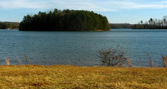
Lake Keowee
Lake Keowee is a 18,500-acre reservoir on the Keowee River in South Carolina. The lake is in Oconee County. Management is in the…
Reservoir1 beach
Lake Russell
Lake Russell covers about 26,650 acres in South Carolina. The lake is in Elbert County. Management is in the hands of USACE…
Reservoir
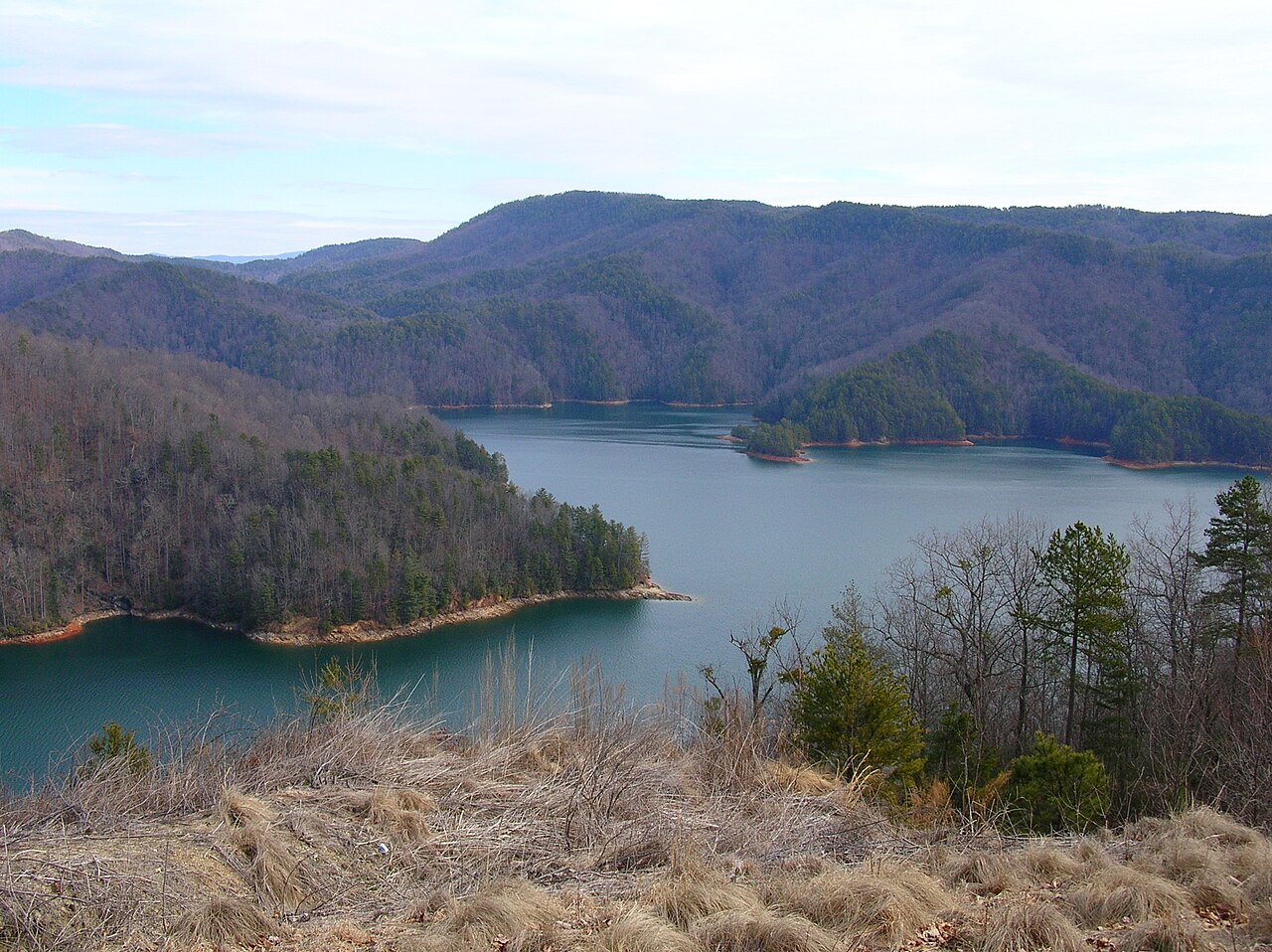
Lake Jocassee
Lake Jocassee is a reservoir of some 7,500 acres on the Keowee River, in South Carolina. It lies in Oconee County. It is managed…
Reservoir
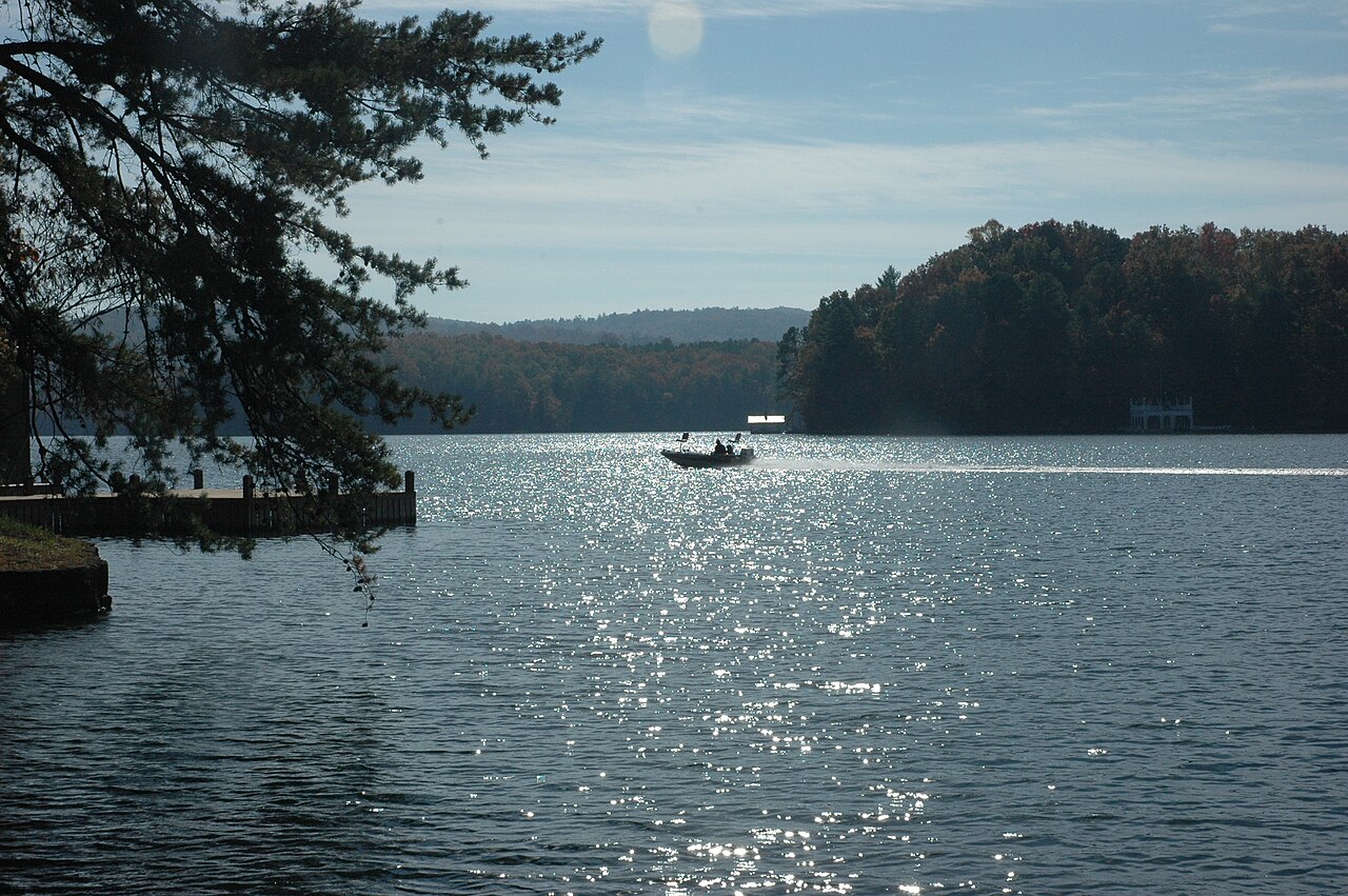
Lake Burton
Lake Burton covers about 2,775 acres of the Tallulah River in Georgia. The lake is in Rabun County. Management is in the hands of…
Reservoir
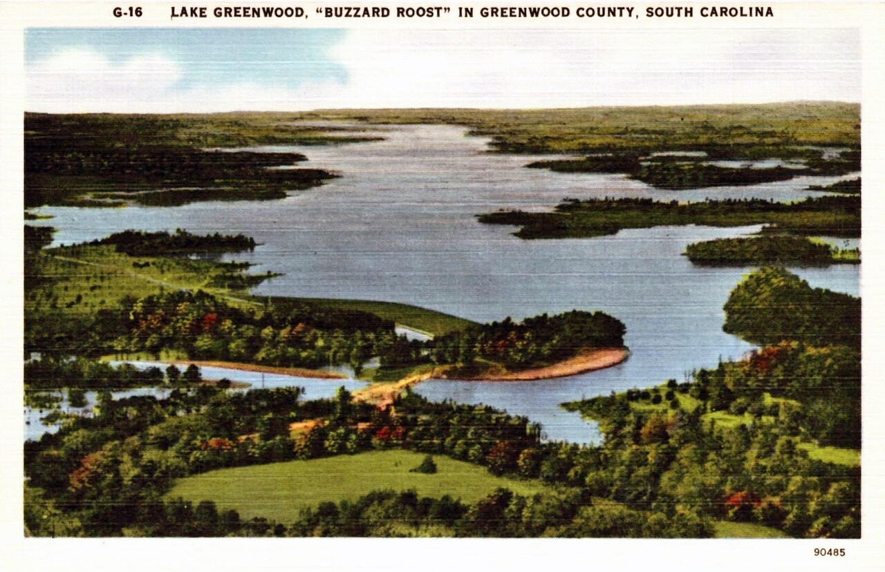
Lake Greenwood
Lake Greenwood is a reservoir of some 11,400 acres on the Saluda River, in South Carolina. You will find it in Laurens County.…
Reservoir
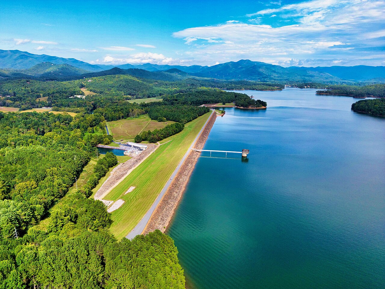
Chatuge Lake
Fed by the outflow =, Chatuge Lake holds roughly 6,919 acres of water in Georgia. You will find it in Clay County. TVA manages it.
Reservoir
Explore around South Carolina
All lakes in South Carolina Lakes near Anderson Lakes near Clemson
Sources
Every figure on this page comes from one of these public sources.