
CountiesSussex County
New JerseyReservoirSussex County
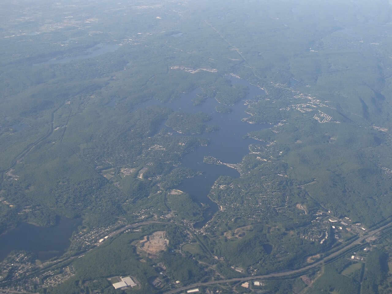
Lake Hopatcong
Lake Hopatcong is a reservoir of some 2,685 acres on the Musconetcong River, in New Jersey. You will find it in Sussex County. It is managed by NJ DEP. The gauge last read 9.14 ft.
Coordinates40.9500, -74.6333
Surface area2,685 acres
Max depth50 ft
RiverMusconetcong River
Managed byNJ DEP
Swimming beaches on Lake Hopatcong
No named swimming beach is mapped yet for this lake. Access is through agency day-use areas and boat ramps listed below. We add beach pages only when we can confirm a name, coordinates and an operating agency.
Lake Hopatcong on the map
Lake center, swimming spots and access points.
Weather and water temperature
Air temperature and wind from Open-Meteo. Water temperature only when the lake has a public sensor.
Weather data by Open-Meteo
About Lake Hopatcong
Lake Hopatcong sits at 40.9500, -74.6333. The surface sits around 950 feet above sea level. Water leaves through the Musconetcong River. It reaches roughly 50 feet at its deepest.
If you need a named beach, Huylers Beach on Oradell Reservoir is some 37 miles from here. Absence from these datasets does not mean the water is closed, only that no agency lists a beach. Lake Hopatcong has no catalogued swimming beach in the sources we read, so plan around the managing agency's own facilities.
Nearby water includes Lake Mohawk (New Jersey, 5 mi), Boonton Reservoir (New Jersey, 13 mi) and Highland Lakes (New Jersey, 18 mi). New Jersey has 12 lakes on this site in total.
Inland lakes are not monitored the way ocean beaches are, so posted signs matter more here. No public sensor reports water temperature at Lake Hopatcong, so the panel shows air temperature and wind. Swimming season in New Jersey runs through the warm months, and day-use areas set their own opening dates.
Station 01455400, Lake Hopatcong at Landing NJ, publishes the water surface elevation used here. The last value stored here, 9.14 ft, is from 2026-09-09. Water level decides what is usable on the shoreline, from beach width to ramp access.
Questions about Lake Hopatcong
What is the current water level at Lake Hopatcong?
The latest reading is 9.14 ft, from USGS gauge 01455400.
Is there a beach at Lake Hopatcong?
No named swimming beach appears in the federal and state datasets this guide reads. Check the operating agency for day-use areas on the ground.
How big is Lake Hopatcong?
About 2,685 acres. Maximum depth is around 50 feet.
What other lakes are near Lake Hopatcong?
The closest in this guide is Lake Mohawk, about 5 miles away in New Jersey.
Lakes near Lake Hopatcong
Other lakes in this guide, ordered by distance.
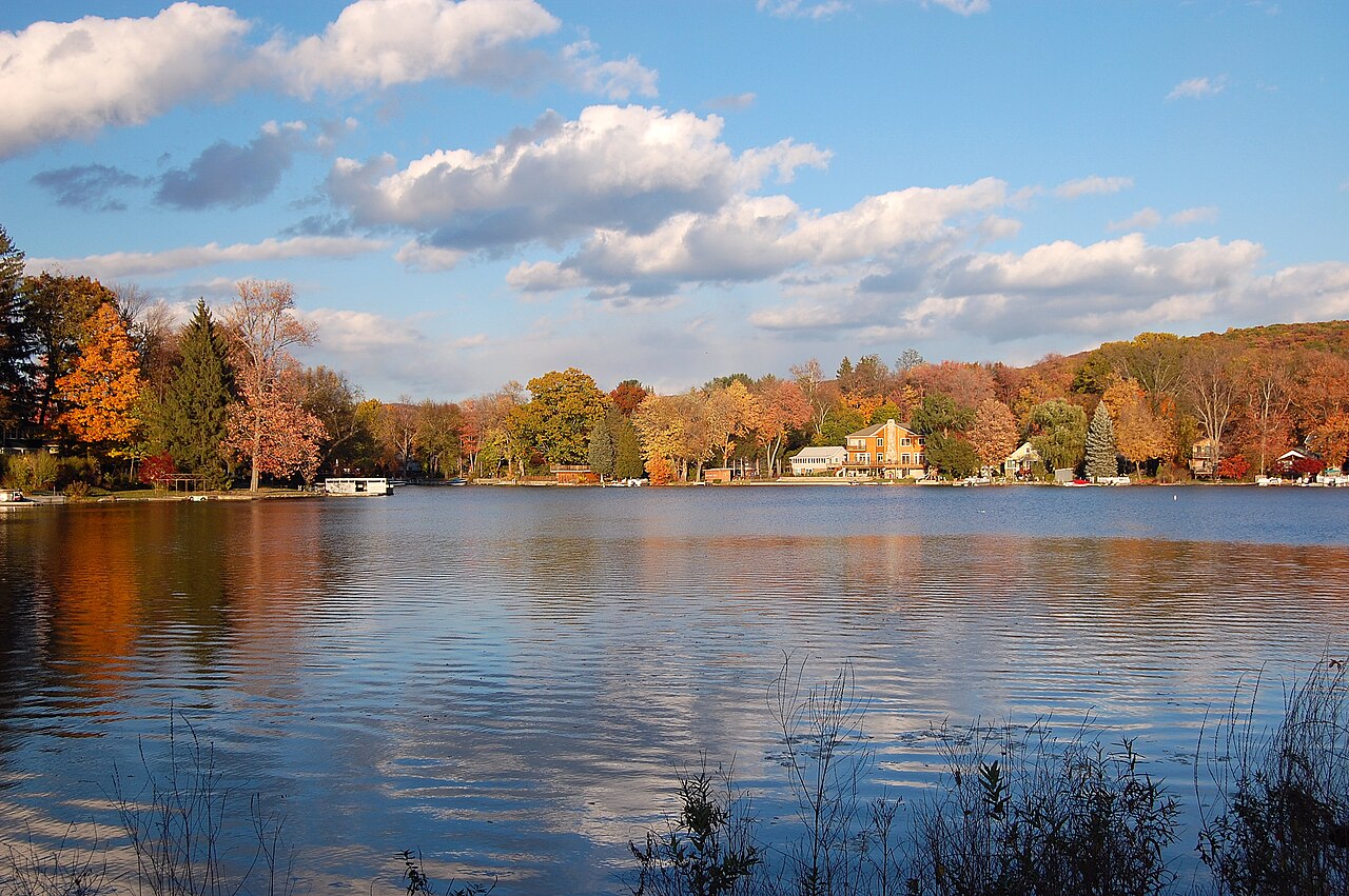
Greenwood Lake
Greenwood Lake is a 1,927-acre reservoir on the outflow = Wanaque River in New Jersey. It is managed by Greenwood Lake Commission…
Reservoir
Round Valley Reservoir
Round Valley Reservoir is a reservoir of some 2,300 acres on the outflow =, in New Jersey. The lake is in Hunterdon County.…
Reservoir
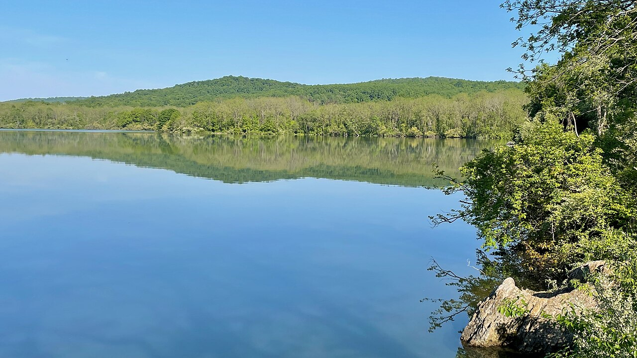
Spruce Run Reservoir
Spruce Run Reservoir is a reservoir of some 1,290 acres on the Spruce Run, in New Jersey. It lies in Hunterdon County. It is…
Reservoir
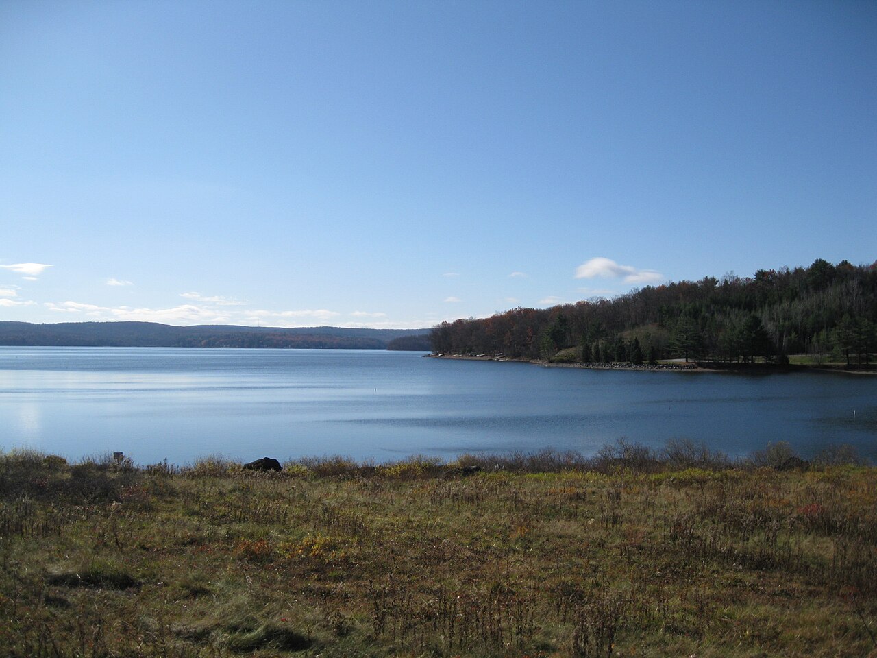
Lake Wallenpaupack
Lake Wallenpaupack covers about 5,461 acres of the Lackawaxen River in Pennsylvania. Its shoreline falls inside Pike County. It…
Reservoir
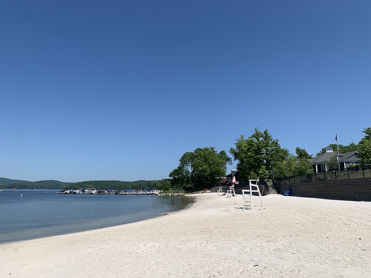
Candlewood Lake
Candlewood Lake is a 5,420-acre lake on the Rocky River in Connecticut. Its shoreline falls inside Western Connecticut County. It…
Natural lake1 beach
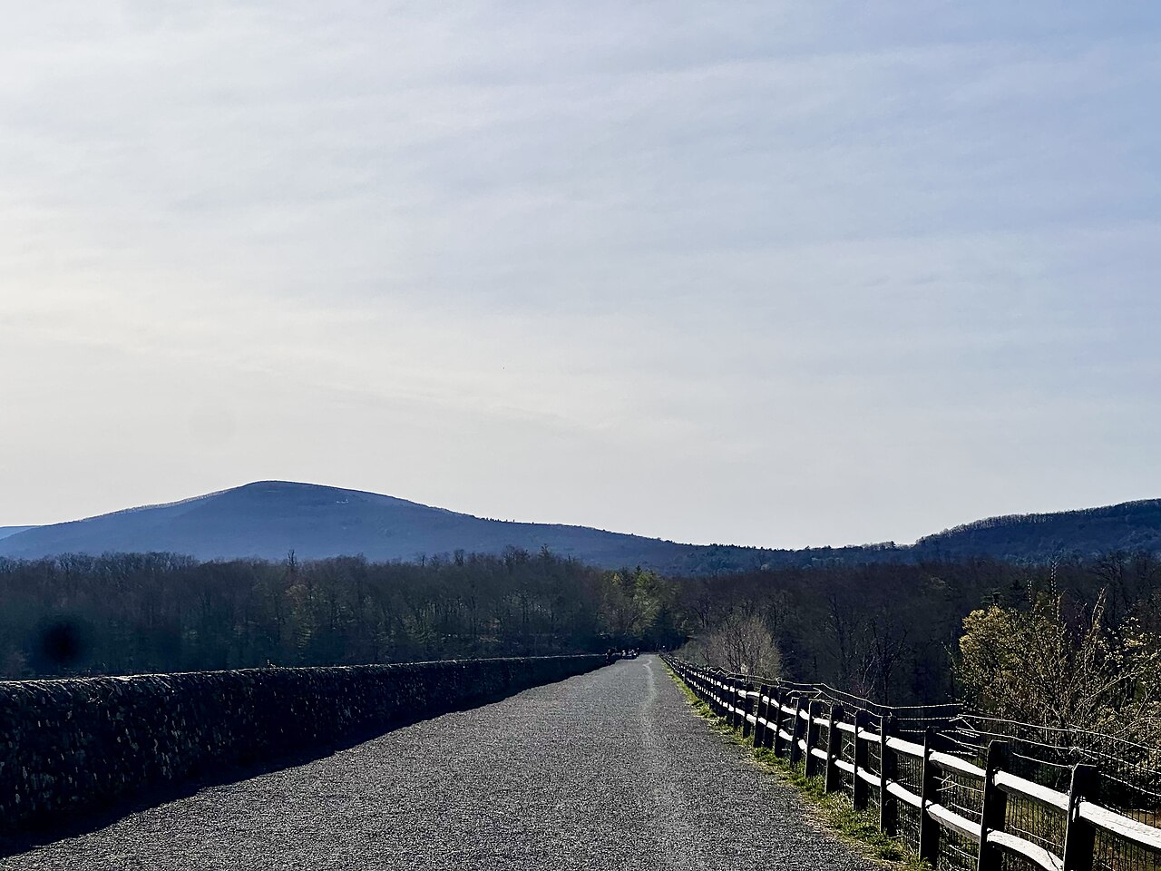
Ashokan Reservoir
Ashokan Reservoir is a 8,300-acre reservoir on the Esopus Creek in New York. You will find it in Ulster County. It is managed by…
Reservoir
Explore around New Jersey
All lakes in New Jersey Lakes near Hopatcong Lakes near Kiryas Joel
Sources
Every figure on this page comes from one of these public sources.