
CountiesMerced County
CaliforniaReservoirMerced County
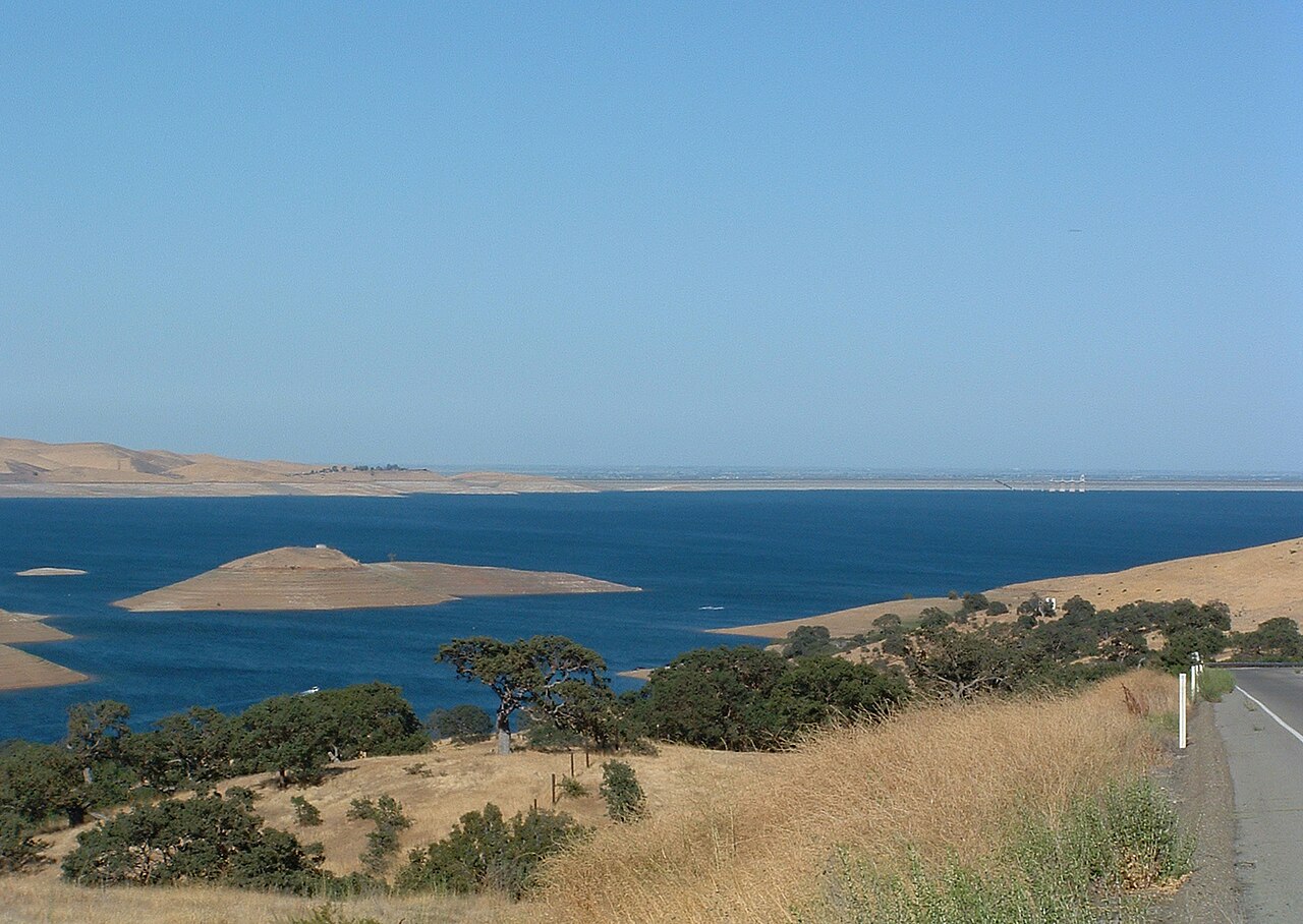
San Luis Reservoir
San Luis Reservoir is a reservoir of some 12,700 acres on the California Aqueduct, in California. It lies in Merced County. It is managed by CA State Parks. This guide maps 2 named swimming spots around its shoreline.
Coordinates37.0679, -121.0810
Surface area12,700 acres
RiverCalifornia Aqueduct
Managed byCA State Parks
Swimming beaches on San Luis Reservoir
2 named swimming spots and shoreline access points, from USGS GNIS, Recreation.gov and the Forest Service. None is staffed by a lifeguard unless the operating agency posts one.
San Luis Reservoir on the map
Lake center, swimming spots and access points.
Weather and water temperature
Air temperature and wind from Open-Meteo. Water temperature only when the lake has a public sensor.
Weather data by Open-Meteo
San Luis Reservoir explained
On the map, San Luis Reservoir is centered near 37.0679, -121.0810. The California Aqueduct carries the outflow. It lies at roughly 548 feet of elevation.
No public gauge reports the water level at San Luis Reservoir, so this page shows no level chart. We would rather leave the figure out than publish an estimate that nobody measured. We check the public feeds daily, so this page will fill in if one appears.
Nearby water includes Los Banos Reservoir (California, 9 mi), Uvas Reservoir (California, 34 mi) and Calero Reservoir (California, 39 mi). California has 86 lakes on this site in total.
The shoreline of San Luis Reservoir has 2 named swimming spots in the datasets we read. They include South Beach and North Beach. These come from USGS GNIS. Parking is the usual limit on busy summer weekends.
Most California day-use areas open for the summer season and close outside it. Water temperature is not measured at this lake by any public agency we read. Algae blooms are seasonal and local: look for posted signs at the ramp or park entrance.
Questions about San Luis Reservoir
Can you swim in San Luis Reservoir?
Yes. This guide maps 2 named swimming spots around the lake, including South Beach and North Beach. None is staffed by a lifeguard unless the operating agency posts one.
How big is San Luis Reservoir?
About 12,700 acres.
What other lakes are near San Luis Reservoir?
The closest in this guide is Los Banos Reservoir, about 9 miles away in California.
Lakes near San Luis Reservoir
Other lakes in this guide, ordered by distance.
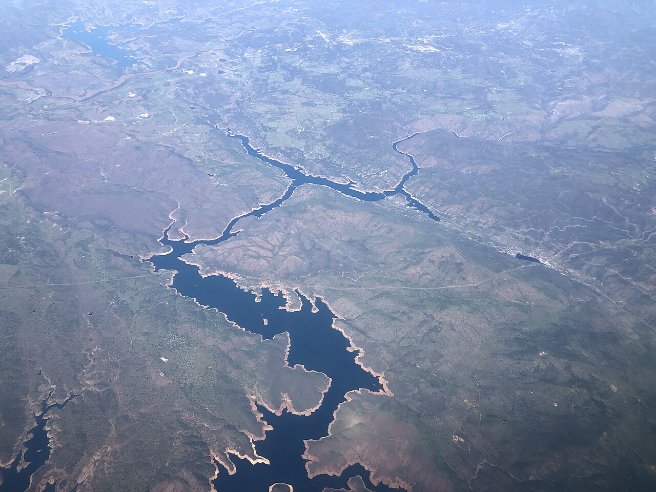
Don Pedro Reservoir
Don Pedro Reservoir is a 13,000-acre reservoir on the Tuolumne River in California. You will find it in Tuolumne County. It is…
Reservoir
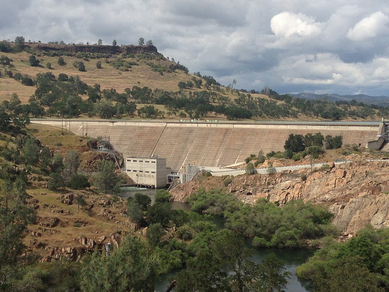
Lake Tulloch
Lake Tulloch is a 1,260-acre reservoir in California. You will find it in Calaveras County. Tri-Dam Project manages it. The gauge…
Reservoir
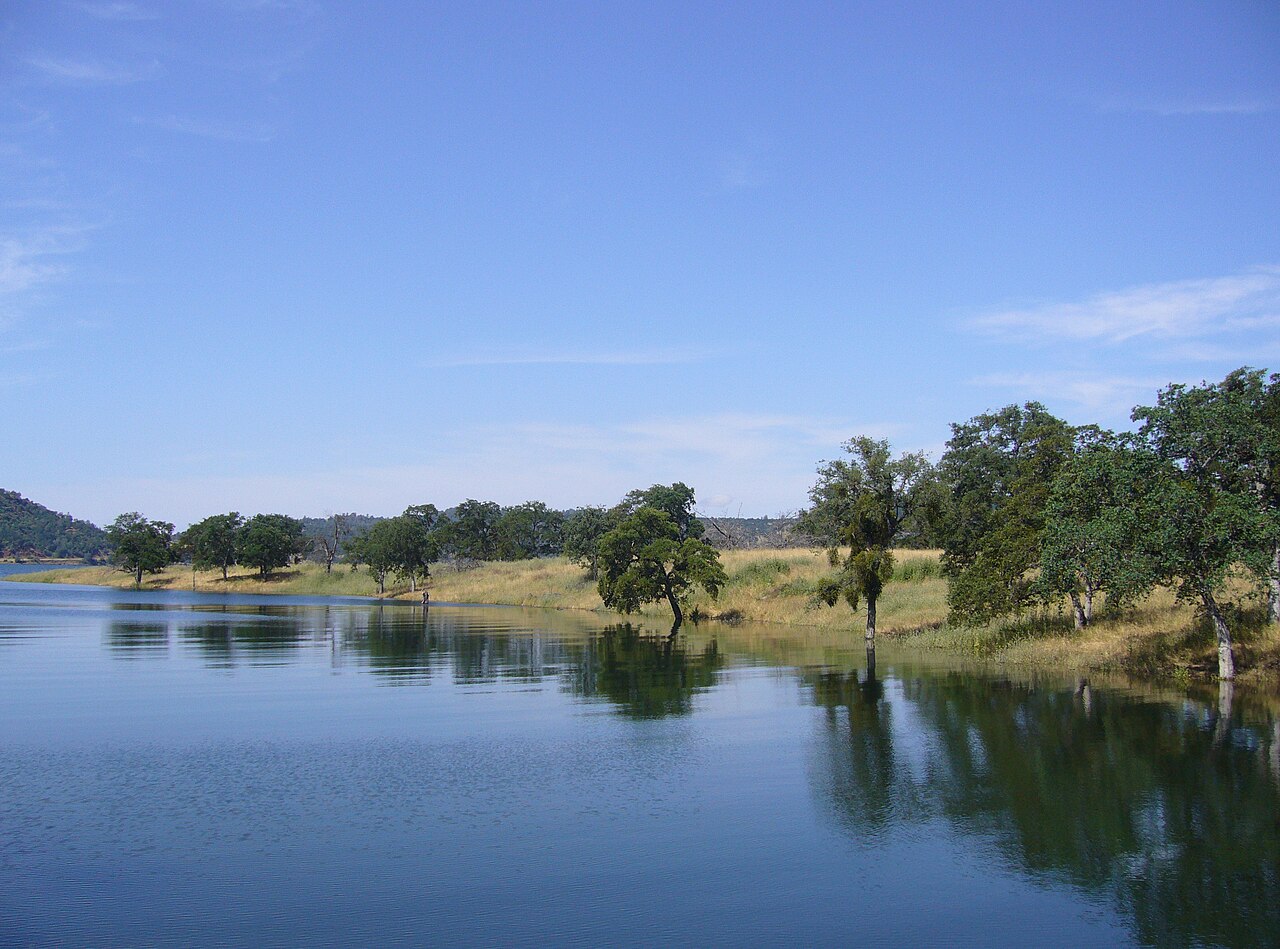
New Melones Lake
Fed by the Stanislaus River, New Melones Lake holds roughly 12,500 acres of water in California. You will find it in Calaveras…
Reservoir
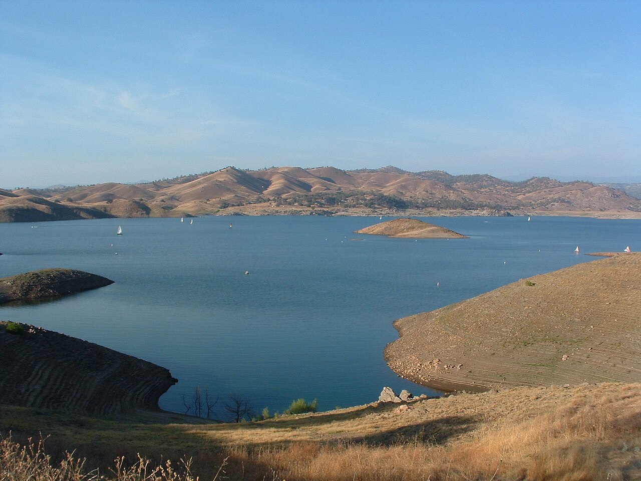
Millerton Lake
Millerton Lake is a 4,900-acre reservoir on the Friant-Kern Canal Madera Canal San Joaquin River in California. You will find it…
Reservoir
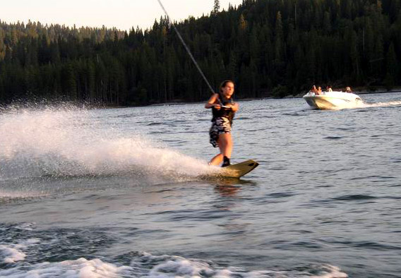
Bass Lake
Bass Lake is a 1,166-acre reservoir on the Willow Creek in California. Its shoreline falls inside Madera County. Madera County…
Reservoir
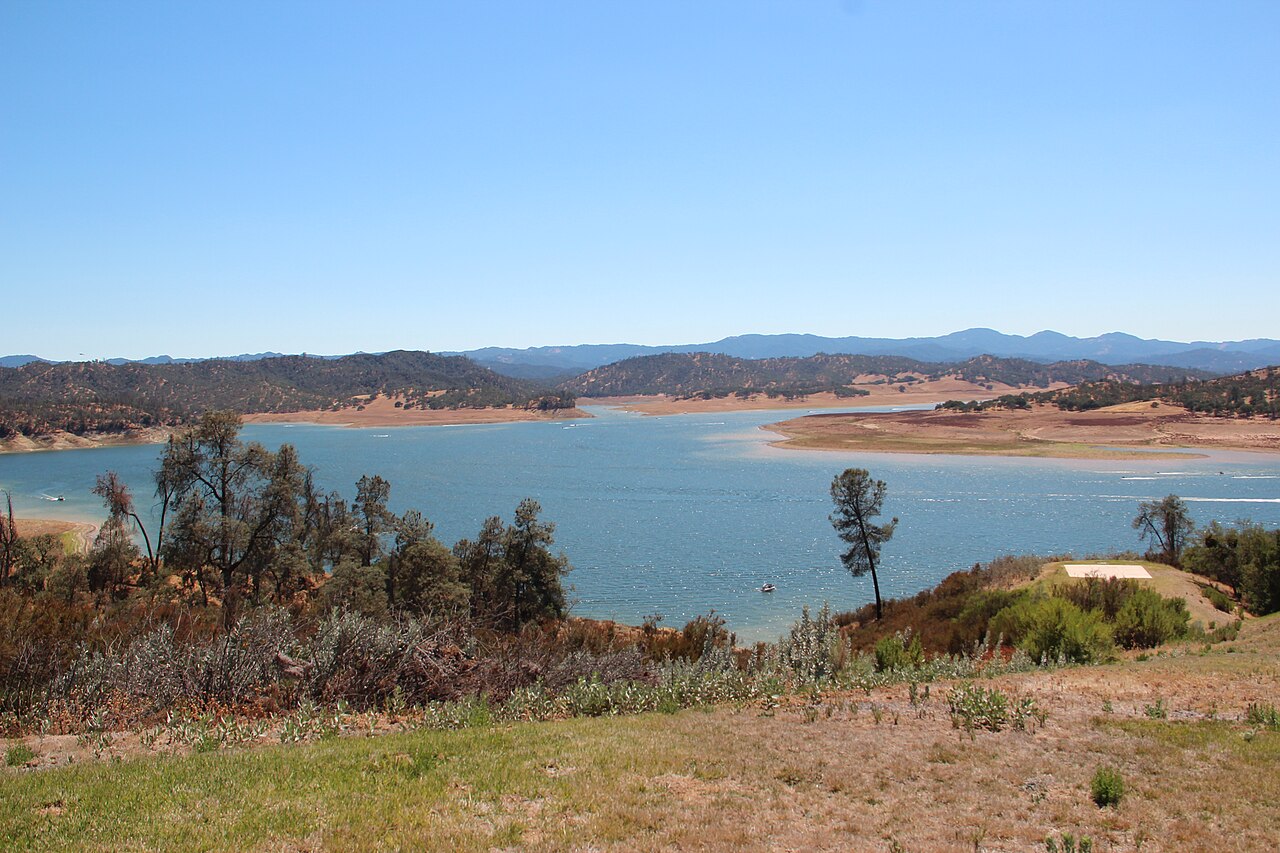
Lake Nacimiento
Fed by the Nacimiento River, Lake Nacimiento holds roughly 5,400 acres of water in California. The lake is in San Luis Obispo…
Reservoir
Explore around California
All lakes in California Swimming spots in California Lakes near Livingston Lakes near Turlock
Sources
Every figure on this page comes from one of these public sources.