
CountiesTuolumne County
CaliforniaReservoirTuolumne County
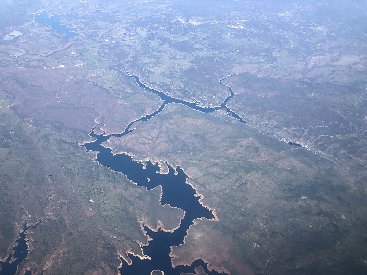
Don Pedro Reservoir
Don Pedro Reservoir is a 13,000-acre reservoir on the Tuolumne River in California. You will find it in Tuolumne County. It is managed by Don Pedro Recreation Agency (TID / MID). The gauge last read 792.52 ft.
Water level today: 792.52 ft · see the full record
Coordinates37.7415, -120.3735
Surface area13,000 acres
RiverTuolumne River
Managed byDon Pedro Recreation Agency (TID / MID)
Swimming beaches on Don Pedro Reservoir
No named swimming beach is mapped yet for this lake. Access is through agency day-use areas and boat ramps listed below. We add beach pages only when we can confirm a name, coordinates and an operating agency.
Don Pedro Reservoir on the map
Lake center, swimming spots and access points.
Weather and water temperature
Air temperature and wind from Open-Meteo. Water temperature only when the lake has a public sensor.
Weather data by Open-Meteo
Water level today
Readings come from station 11287500 (DON PEDRO RES NR LA GRANGE CA). The last value stored here, 792.52 ft, is from 2026-09-09. Check the reading the morning you go if your plan depends on a specific ramp.
792.52 ft trend not available
Planning a day at Don Pedro Reservoir
Its coordinates are 37.7415, -120.3735. The Tuolumne River carries the outflow. It lies at roughly 791 feet of elevation.
Readings come from station 11287500 (DON PEDRO RES NR LA GRANGE CA). The last value stored here, 792.52 ft, is from 2026-09-09. Check the reading the morning you go if your plan depends on a specific ramp.
If you need a named beach, Cherry Lake on Cherry Lake is some 30 miles from here. The federal and state datasets behind this guide list no named beach at Don Pedro Reservoir. That does not mean there is no access, only that none is catalogued. Shoreline access on lakes like this one is often informal and unsigned.
If Don Pedro Reservoir is busy, the nearest alternatives here are Lake McClure (California, 8 mi), Lake Tulloch (California, 16 mi) and New Melones Lake (California, 20 mi). California has 86 lakes on this site in total.
If the water looks like pea soup or paint, stay out and report it to the managing agency. Most California day-use areas open for the summer season and close outside it. Water temperature is not measured at this lake by any public agency we read.
Questions about Don Pedro Reservoir
Is there a beach at Don Pedro Reservoir?
No named swimming beach appears in the federal and state datasets this guide reads. Check the operating agency for day-use areas on the ground.
How big is Don Pedro Reservoir?
About 13,000 acres.
What other lakes are near Don Pedro Reservoir?
The closest in this guide is Lake McClure, about 8 miles away in California.
Lakes near Don Pedro Reservoir
Other lakes in this guide, ordered by distance.
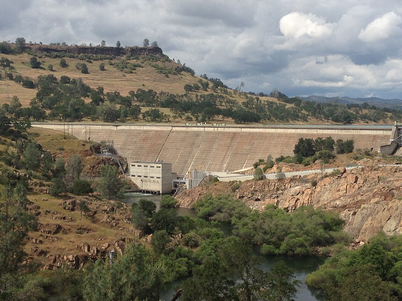
Lake Tulloch
Lake Tulloch is a 1,260-acre reservoir in California. You will find it in Calaveras County. Tri-Dam Project manages it. The gauge…
Reservoir
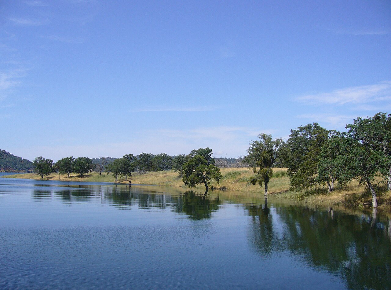
New Melones Lake
Fed by the Stanislaus River, New Melones Lake holds roughly 12,500 acres of water in California. You will find it in Calaveras…
Reservoir
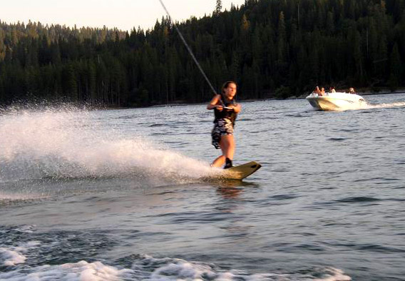
Bass Lake
Bass Lake is a 1,166-acre reservoir on the Willow Creek in California. Its shoreline falls inside Madera County. Madera County…
Reservoir
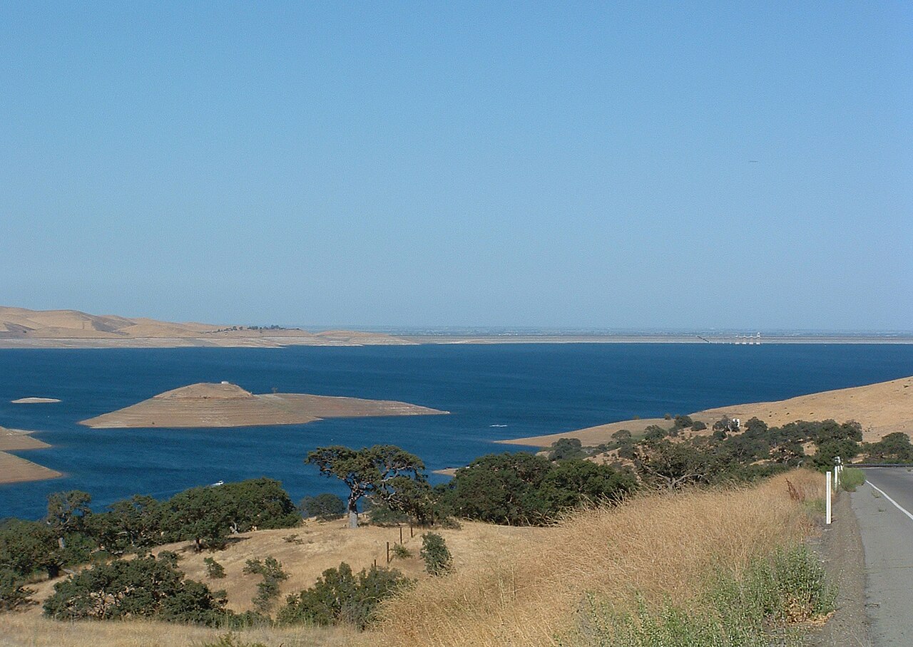
San Luis Reservoir
San Luis Reservoir is a reservoir of some 12,700 acres on the California Aqueduct, in California. It lies in Merced County. It is…
Reservoir2 beaches
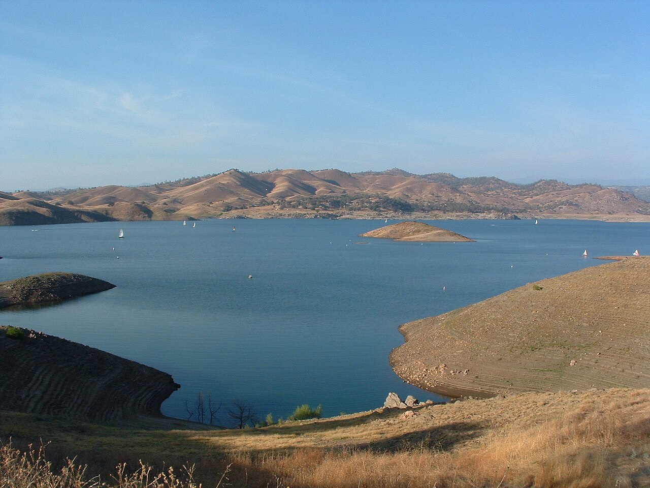
Millerton Lake
Millerton Lake is a 4,900-acre reservoir on the Friant-Kern Canal Madera Canal San Joaquin River in California. You will find it…
Reservoir
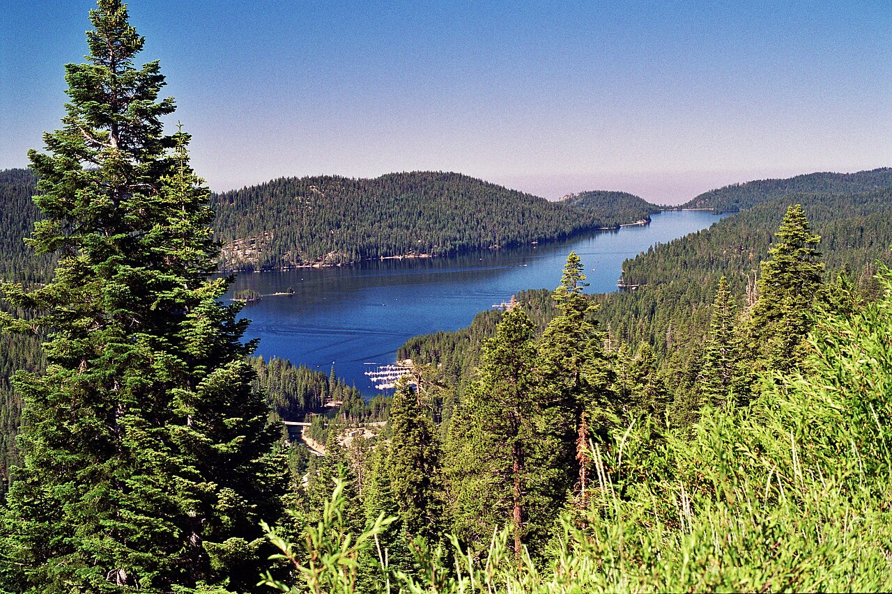
Huntington Lake
Huntington Lake covers about 1,441 acres of the Big Creek in California. You will find it in Fresno County. USFS Sierra NF / SCE…
Reservoir2 beaches
Explore around California
All lakes in California Swimming spots in California Lakes near Atwater Lakes near Merced
Sources
Every figure on this page comes from one of these public sources.