
CountiesMadera County
CaliforniaReservoirMadera County
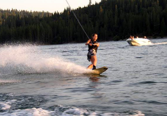
Bass Lake
Bass Lake is a 1,166-acre reservoir on the Willow Creek in California. Its shoreline falls inside Madera County. Madera County Sheriff's Office (Bass Lake Boat Patrol) manages it.
Coordinates37.3119, -119.5511
Surface area1,166 acres
Max depth98 ft
RiverWillow Creek
Managed byMadera County Sheriff's Office (Bass Lake Boat Patrol)
Swimming beaches on Bass Lake
No named swimming beach is mapped yet for this lake. Access is through agency day-use areas and boat ramps listed below. We add beach pages only when we can confirm a name, coordinates and an operating agency.
Bass Lake on the map
Lake center, swimming spots and access points.
Weather and water temperature
Air temperature and wind from Open-Meteo. Water temperature only when the lake has a public sensor.
Weather data by Open-Meteo
About Bass Lake
Its coordinates are 37.3119, -119.5511. Maximum depth is around 98 feet. It lies at roughly 3,369 feet of elevation. The Willow Creek carries the outflow.
No public gauge reports the water level at Bass Lake, so this page shows no level chart. We would rather leave the figure out than publish an estimate that nobody measured. Ask the managing agency directly if the level matters for your trip.
If Bass Lake is busy, the nearest alternatives here are Millerton Lake (California, 20 mi), Huntington Lake (California, 20 mi) and Hensley Lake (California, 22 mi). California has 86 lakes on this site in total.
Inland lakes are not monitored the way ocean beaches are, so posted signs matter more here. Most California day-use areas open for the summer season and close outside it. No public sensor reports water temperature at Bass Lake, so the panel shows air temperature and wind.
Absence from these datasets does not mean the water is closed, only that no agency lists a beach. Huntington Boat Ramp & Launching Site, on Huntington Lake, is the closest named beach in this guide, about 21 miles off. There is no beach on record at Bass Lake in the datasets this guide reads.
Questions about Bass Lake
Is there a beach at Bass Lake?
No named swimming beach appears in the federal and state datasets this guide reads. Check the operating agency for day-use areas on the ground.
How big is Bass Lake?
About 1,166 acres. Maximum depth is around 98 feet.
What other lakes are near Bass Lake?
The closest in this guide is Millerton Lake, about 20 miles away in California.
Lakes near Bass Lake
Other lakes in this guide, ordered by distance.
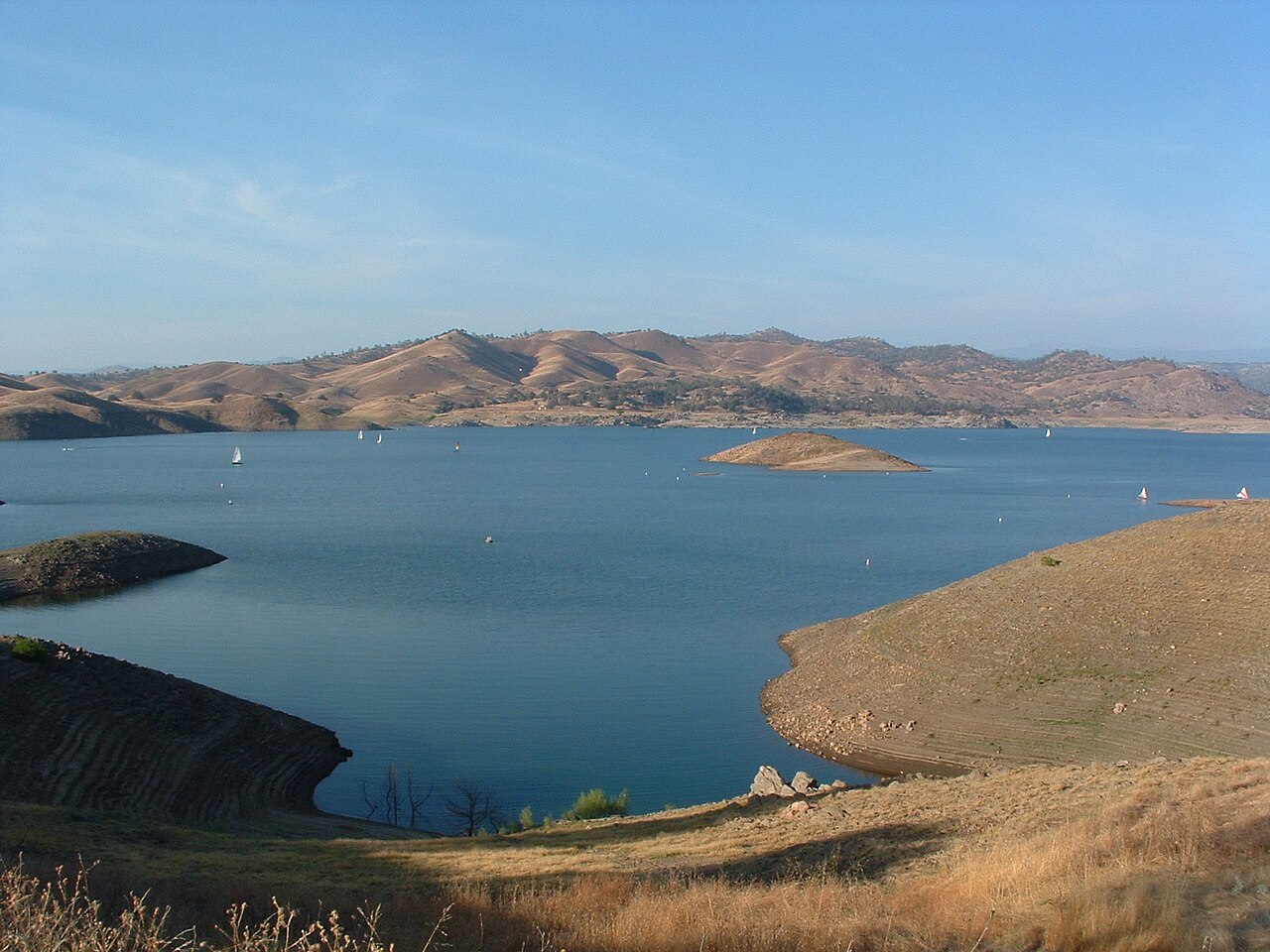
Millerton Lake
Millerton Lake is a 4,900-acre reservoir on the Friant-Kern Canal Madera Canal San Joaquin River in California. You will find it…
Reservoir
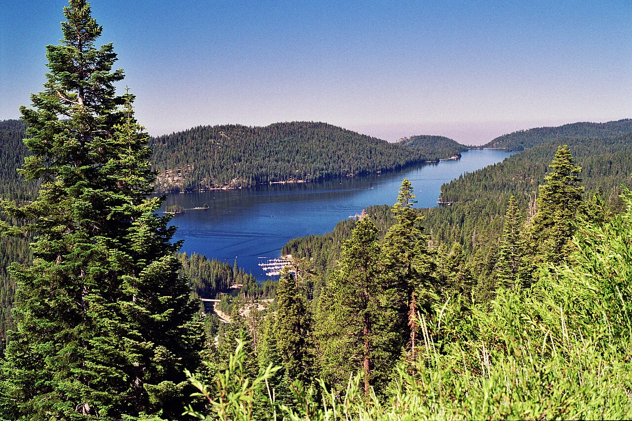
Huntington Lake
Huntington Lake covers about 1,441 acres of the Big Creek in California. You will find it in Fresno County. USFS Sierra NF / SCE…
Reservoir2 beaches
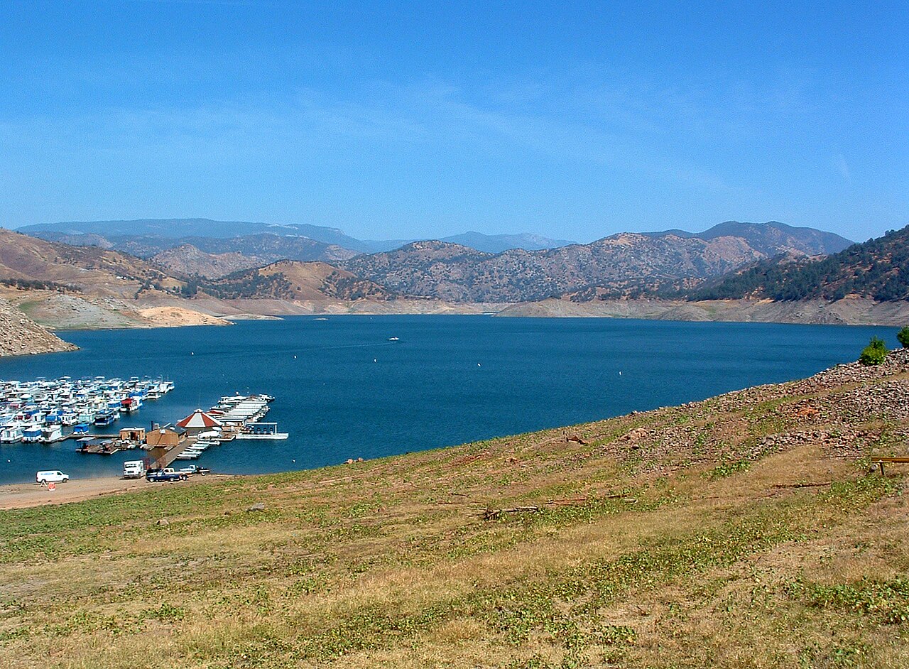
Pine Flat Lake
Pine Flat Lake is a 5,970-acre reservoir on the Kings River in California. Its shoreline falls inside Fresno County. Management…
Reservoir
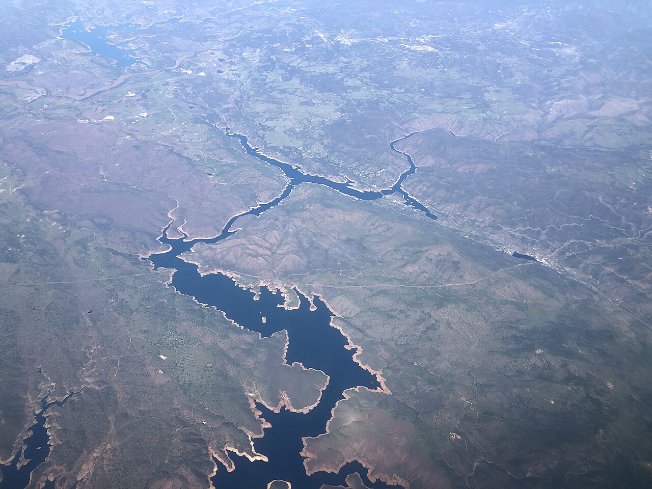
Don Pedro Reservoir
Don Pedro Reservoir is a 13,000-acre reservoir on the Tuolumne River in California. You will find it in Tuolumne County. It is…
Reservoir
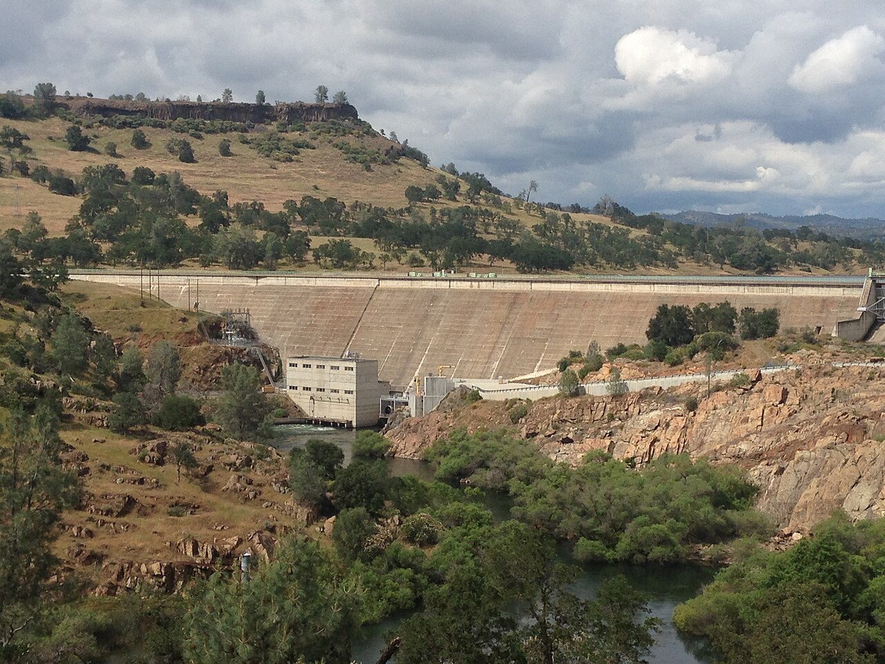
Lake Tulloch
Lake Tulloch is a 1,260-acre reservoir in California. You will find it in Calaveras County. Tri-Dam Project manages it. The gauge…
Reservoir
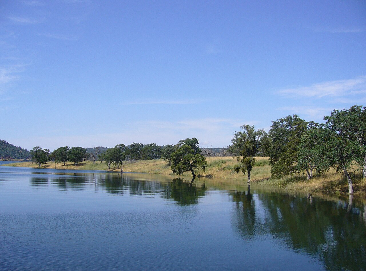
New Melones Lake
Fed by the Stanislaus River, New Melones Lake holds roughly 12,500 acres of water in California. You will find it in Calaveras…
Reservoir
Explore around California
All lakes in California Swimming spots in California Lakes near Clovis Lakes near Sanger
Sources
Every figure on this page comes from one of these public sources.