
CountiesSonoma County
CaliforniaReservoirSonoma County
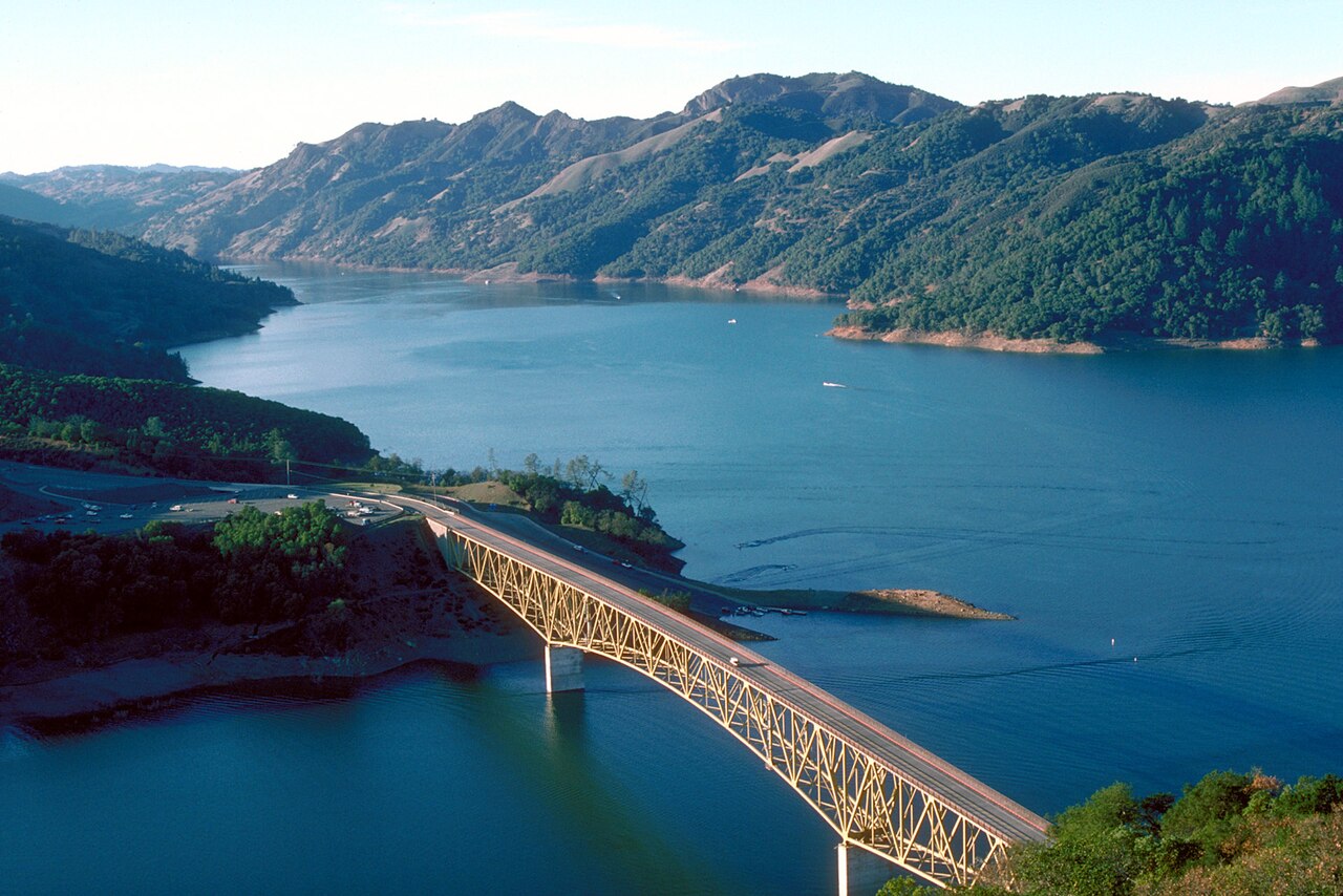
Lake Sonoma
Fed by the Dry Creek, Lake Sonoma holds roughly 2,700 acres of water in California. Its shoreline falls inside Sonoma County. It is managed by U.S. Army Corps of Engineers (San Francisco District). The gauge last read 448.28 ft.
Water level today: 448.28 ft · see the full record
Coordinates38.7343, -123.0569
Surface area2,700 acres
RiverDry Creek
Managed byU.S. Army Corps of Engineers (San Francisco District)
Swimming beaches on Lake Sonoma
No named swimming beach is mapped yet for this lake. Access is through agency day-use areas and boat ramps listed below. We add beach pages only when we can confirm a name, coordinates and an operating agency.
Lake Sonoma on the map
Lake center, swimming spots and access points.
Weather and water temperature
Air temperature and wind from Open-Meteo. Water temperature only when the lake has a public sensor.
Weather data by Open-Meteo
Water level today
The level comes from CDEC - California Data Exchange Center (DWR). Water level decides what is usable on the shoreline, from beach width to ramp access.
448.28 ft -0.59 ft in 7 days
Lake Sonoma explained
Its coordinates are 38.7343, -123.0569. It lies at roughly 358 feet of elevation. The Dry Creek carries the outflow.
The level comes from CDEC - California Data Exchange Center (DWR). Water level decides what is usable on the shoreline, from beach width to ramp access.
The closest lakes in this guide are Lake Mendocino (California, 34 mi), Indian Valley Reservoir (California, 37 mi) and Lake Berryessa (California, 46 mi). California has 86 lakes on this site in total.
Freshwater advisories are issued locally, so check the state health department before you swim. Water temperature is not measured at this lake by any public agency we read. Swimming season in California runs through the warm months, and day-use areas set their own opening dates.
Public access at Lake Sonoma covers 4 public recreation areas and 1 boat ramp. Launch points include Public Boat Ramp.. Recreation areas nearby include Liberty Glen, Lake Sonoma Resort and Yorty Creek Recreation Area. Parking is the usual limit on busy summer weekends.
Recreation areas on Lake Sonoma
4 public recreation areas mapped around the lake by the U.S. Army Corps of Engineers. Facilities vary by area; check the managing office for opening dates and fees.
Liberty Glen Lake Sonoma Resort Yorty Creek Recreation Area Warm Spring Rec Area
Source: USACE Recreation Areas
Boat ramps and access points
Public launch points recorded around the lake. Low water can close shallow ramps, so check the level before hauling a trailer.
| Name | Operated by | Distance | Source |
|---|---|---|---|
| Public Boat Ramp | Corps Of Engineers | 2.3 mi | source |
Ramp data: USACE Recreation Areas
Questions about Lake Sonoma
Is there a beach at Lake Sonoma?
No named swimming beach appears in the federal and state datasets this guide reads. Check the operating agency for day-use areas on the ground.
How big is Lake Sonoma?
About 2,700 acres.
What other lakes are near Lake Sonoma?
The closest in this guide is Lake Mendocino, about 34 miles away in California.
Lakes near Lake Sonoma
Other lakes in this guide, ordered by distance.
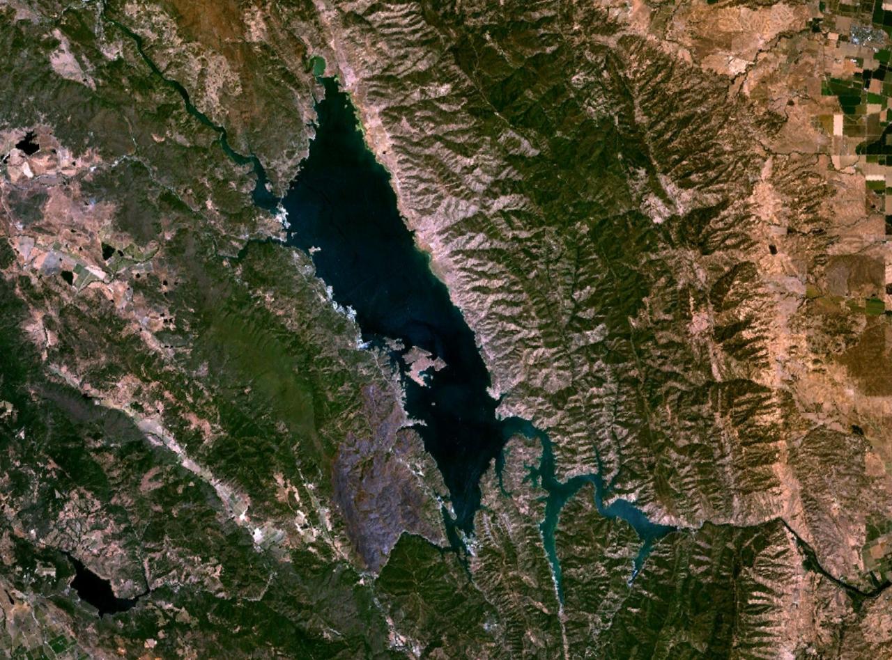
Lake Berryessa
Fed by the Putah Creek, Lake Berryessa holds roughly 19,250 acres of water in California. The lake is in Napa County. It is…
Reservoir
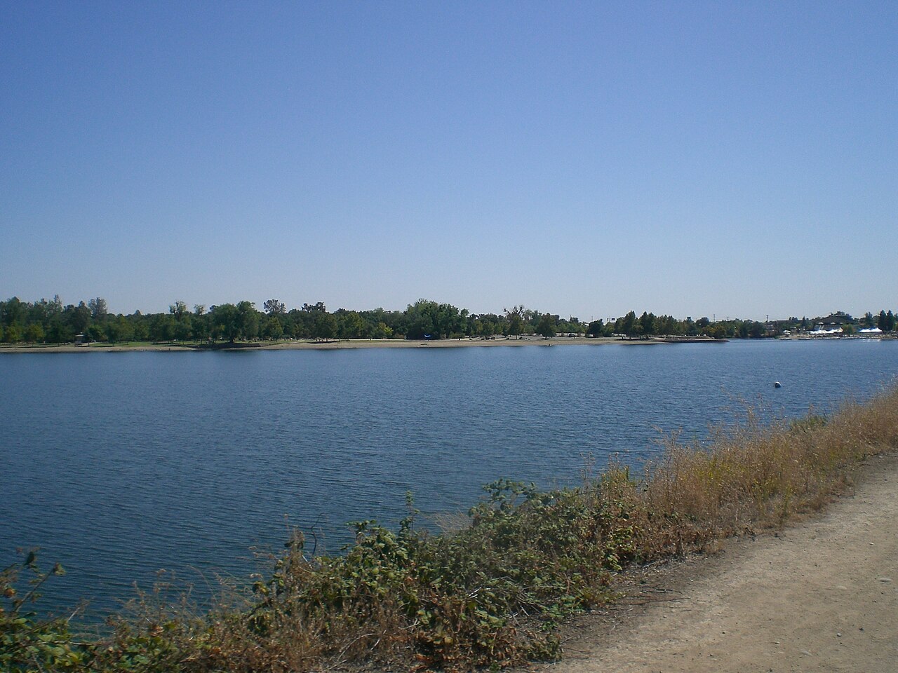
Lake Natoma
Fed by the American River, Lake Natoma holds roughly 500 acres of water in California. It lies in Sacramento County. Management…
Reservoir
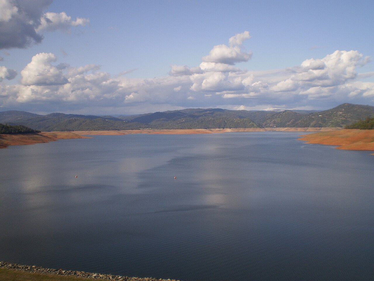
Lake Oroville
Lake Oroville is a 2,520-acre reservoir on the Feather River in California. The lake is in Butte County. It is managed by…
Reservoir
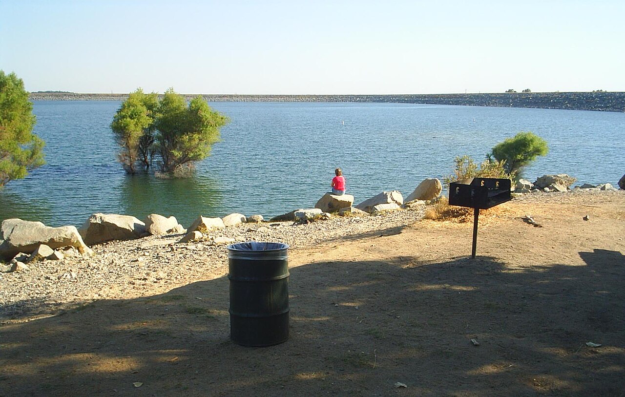
Folsom Lake
Folsom Lake sits on the American River in the Sierra Nevada foothills northeast of Sacramento. The reservoir and its shoreline…
Reservoir
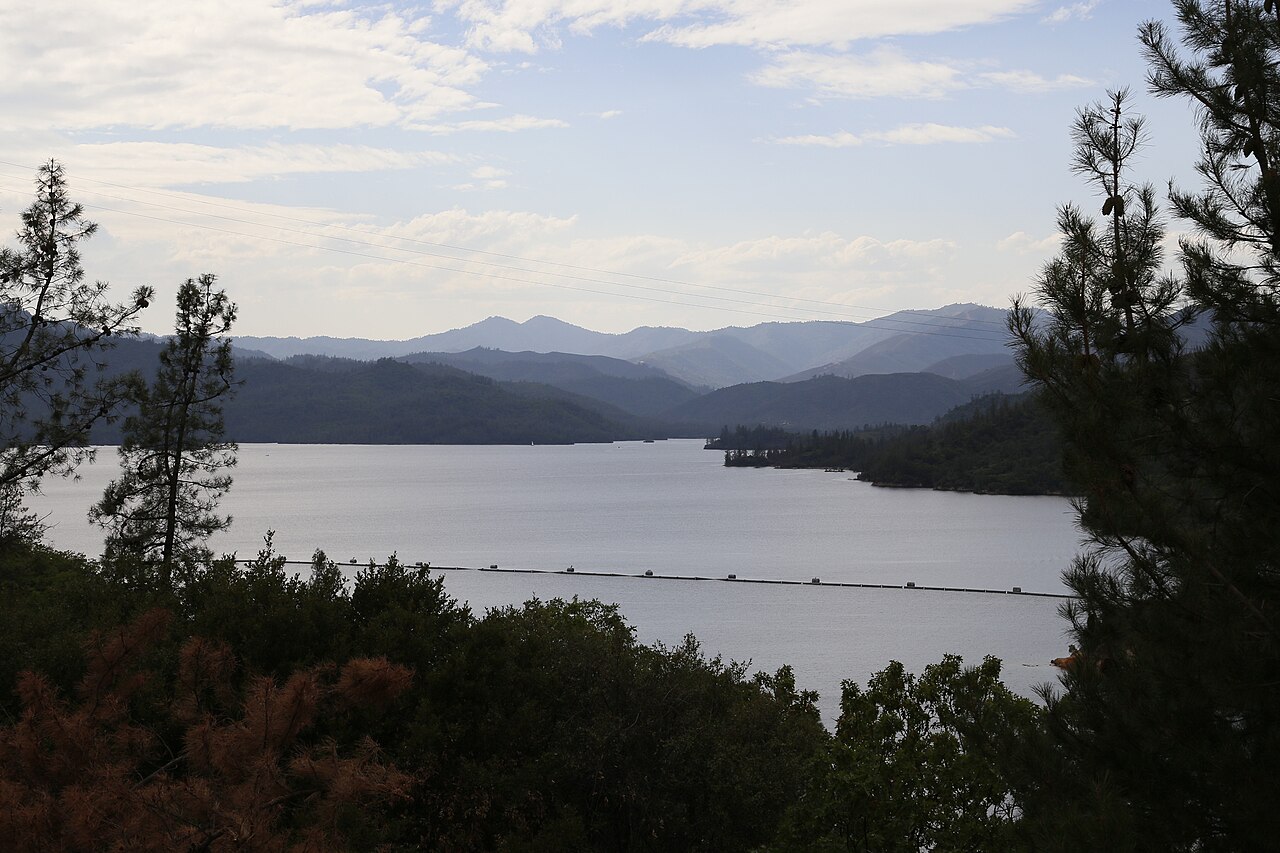
Whiskeytown Lake
Whiskeytown Lake is a 3,458-acre reservoir on the Clear Creek in California. You will find it in Shasta County. It is managed by…
Reservoir1 beach
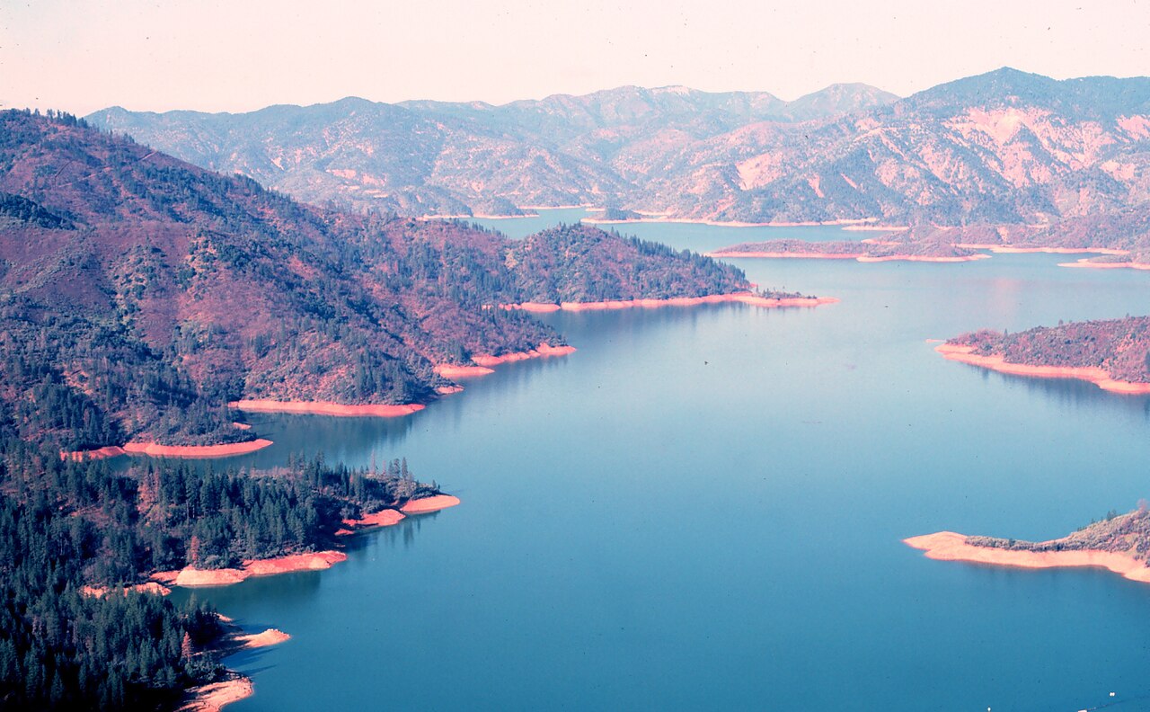
Shasta Lake
Shasta Lake is a 30,000-acre reservoir on the Sacramento River in California. It lies in Shasta County. It is managed by USFS…
Reservoir
Explore around California
Sources
Every figure on this page comes from one of these public sources.