
CountiesShasta County
CaliforniaReservoirShasta County
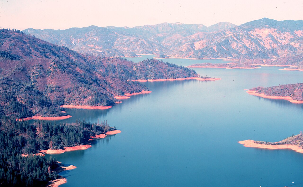
Shasta Lake
Shasta Lake is a 30,000-acre reservoir on the Sacramento River in California. It lies in Shasta County. It is managed by USFS Shasta-Trinity National Forest / USBR. The gauge last read 987.69 ft.
Water level today: 987.69 ft · see the full record
Coordinates40.7602, -122.3720
Surface area30,000 acres
Max depth518 ft
RiverSacramento River
Managed byUSFS Shasta-Trinity National Forest / USBR
Swimming beaches on Shasta Lake
No named swimming beach is mapped yet for this lake. Access is through agency day-use areas and boat ramps listed below. We add beach pages only when we can confirm a name, coordinates and an operating agency.
Shasta Lake on the map
Lake center, swimming spots and access points.
Weather and water temperature
Air temperature and wind from Open-Meteo. Water temperature only when the lake has a public sensor.
Weather data by Open-Meteo
Water level today
The level comes from CDEC - California Data Exchange Center (DWR). The top of the dam sits at 1,077.5 ft. The Corps of Engineers puts the top of the flood pool at 1,067.0 ft. Check the reading the morning you go if your plan depends on a specific ramp.
987.69 ft -2.53 ft in 7 days
Planning a day at Shasta Lake
Its coordinates are 40.7602, -122.3720. It lies at roughly 1,067 feet of elevation. Releases go downstream into the Sacramento River. Maximum depth is around 518 feet.
Nearby water includes Keswick Reservoir (California, 10 mi), Whiskeytown Lake (California, 14 mi) and Trinity Lake (California, 21 mi). In all, 86 lakes in California are covered here.
Water temperature is not measured at this lake by any public agency we read. Freshwater advisories are issued locally, so check the state health department before you swim. Season dates vary by park; the operating agency publishes them each spring.
If you need a named beach, Whiskeytown National Recreation Area on Whiskeytown Lake is some 16 miles from here. Shoreline access on lakes like this one is often informal and unsigned. Shasta Lake has no catalogued swimming beach in the sources we read, so plan around the managing agency's own facilities.
The level comes from CDEC - California Data Exchange Center (DWR). The top of the dam sits at 1,077.5 ft. The Corps of Engineers puts the top of the flood pool at 1,067.0 ft. Check the reading the morning you go if your plan depends on a specific ramp.
Questions about Shasta Lake
Is there a beach at Shasta Lake?
No named swimming beach appears in the federal and state datasets this guide reads. Check the operating agency for day-use areas on the ground.
How big is Shasta Lake?
About 30,000 acres. Maximum depth is around 518 feet.
What other lakes are near Shasta Lake?
The closest in this guide is Keswick Reservoir, about 10 miles away in California.
Lakes near Shasta Lake
Other lakes in this guide, ordered by distance.
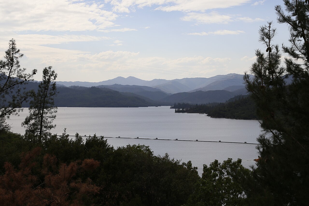
Whiskeytown Lake
Whiskeytown Lake is a 3,458-acre reservoir on the Clear Creek in California. You will find it in Shasta County. It is managed by…
Reservoir1 beach
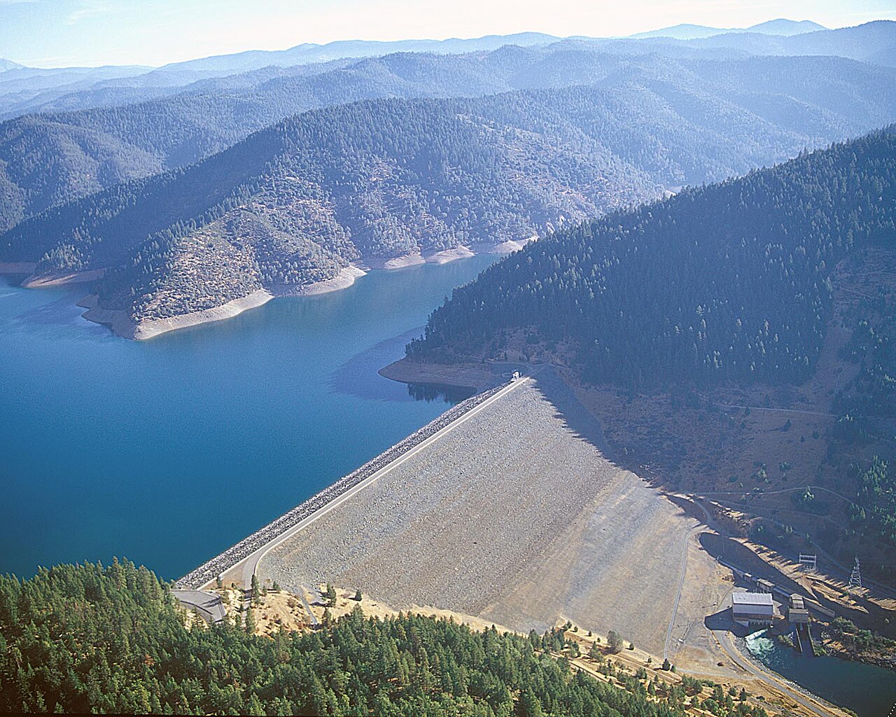
Trinity Lake
Fed by the Trinity River, Trinity Lake holds roughly 16,400 acres of water in California. You will find it in Trinity County. It…
Reservoir2 beaches
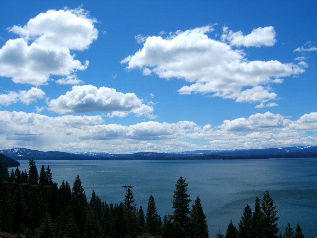
Lake Almanor
Lake Almanor is a 28,170-acre reservoir on the North Fork of the Feather River in California. It lies in Plumas County. It is…
Reservoir2 beaches
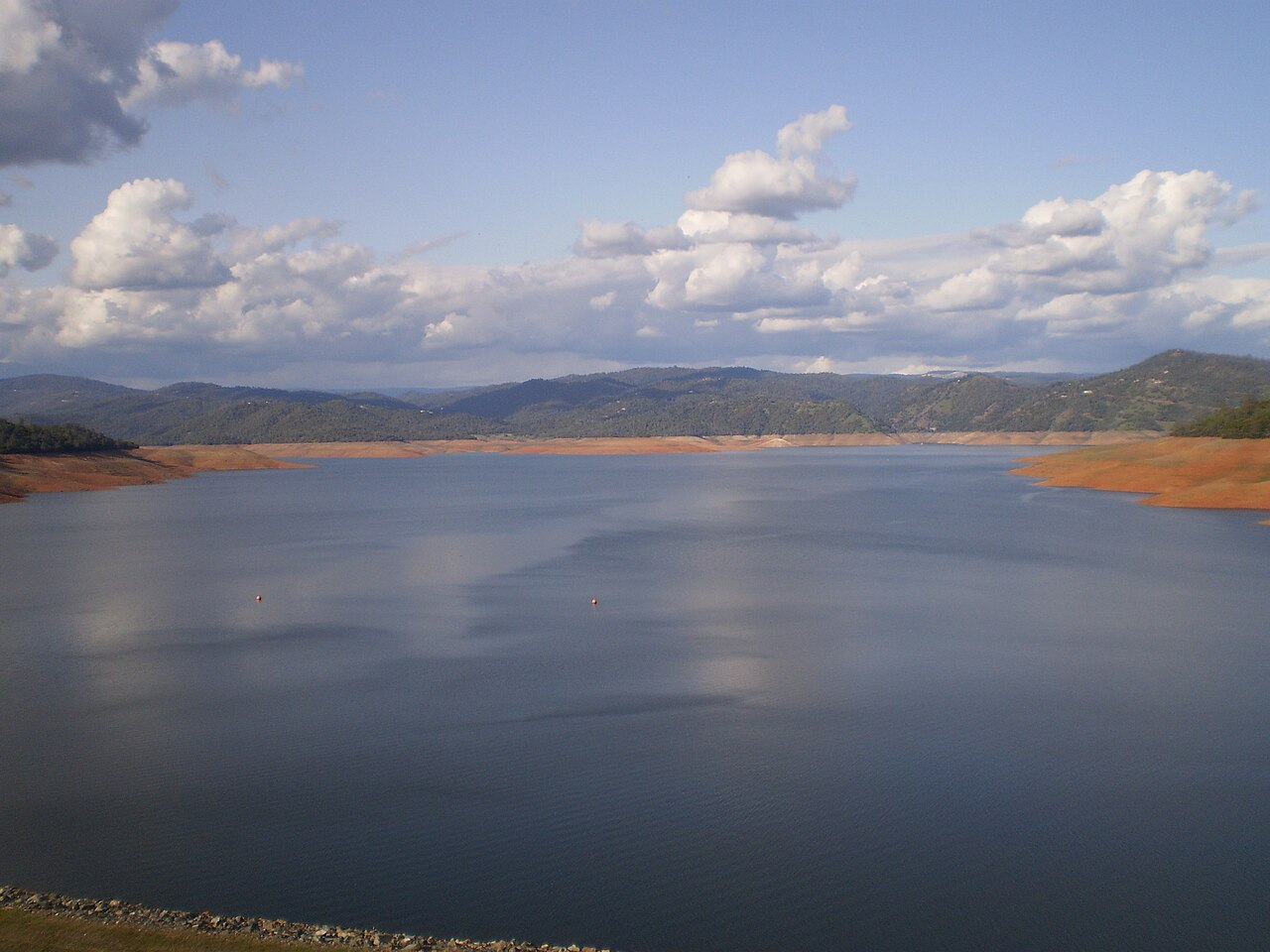
Lake Oroville
Lake Oroville is a 2,520-acre reservoir on the Feather River in California. The lake is in Butte County. It is managed by…
Reservoir
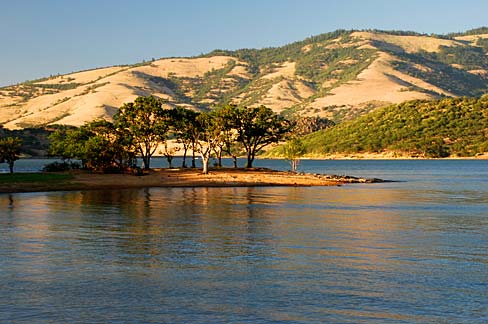
Emigrant Lake
Fed by the Emigrant Creek, Emigrant Lake holds roughly 806 acres of water in Oregon. You will find it in Jackson County. It is…
Reservoir
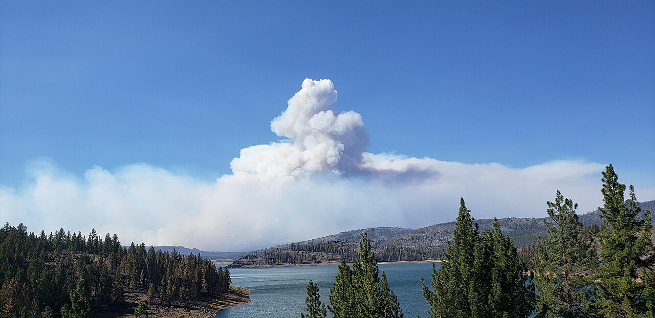
Frenchman Lake
Fed by the Little Last Chance Creek, Frenchman Lake holds roughly 1,580 acres of water in California. It lies in Plumas County.…
Reservoir
Explore around California
All lakes in California Swimming spots in California Lakes near Redding
Sources
Every figure on this page comes from one of these public sources.