
CountiesSacramento County
CaliforniaReservoirSacramento County
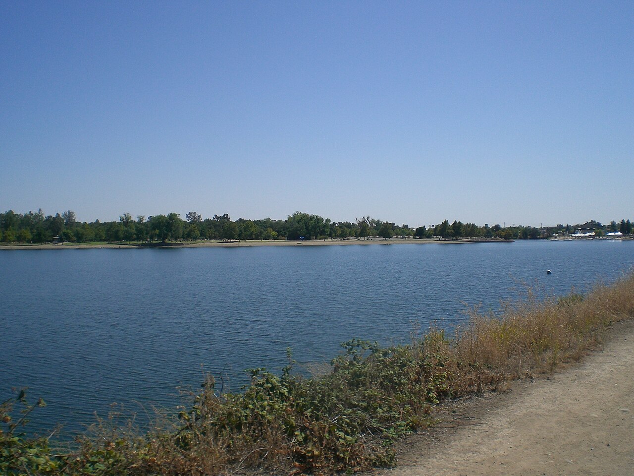
Lake Natoma
Fed by the American River, Lake Natoma holds roughly 500 acres of water in California. It lies in Sacramento County. Management is in the hands of California State Parks.
Coordinates38.6540, -121.1925
Surface area500 acres
RiverAmerican River
Managed byCalifornia State Parks
Swimming beaches on Lake Natoma
No named swimming beach is mapped yet for this lake. Access is through agency day-use areas and boat ramps listed below. We add beach pages only when we can confirm a name, coordinates and an operating agency.
Lake Natoma on the map
Lake center, swimming spots and access points.
Weather and water temperature
Air temperature and wind from Open-Meteo. Water temperature only when the lake has a public sensor.
Weather data by Open-Meteo
Lake Natoma in California
On the map, Lake Natoma is centered near 38.6540, -121.1925. Water leaves through the American River. It lies at roughly 128 feet of elevation.
No agency lists a named swimming spot at Lake Natoma. Shoreline access here is likely informal. Shoreline access on lakes like this one is often informal and unsigned. Mokelumne Beach, on Camanche Reservoir, is the closest named beach in this guide, about 32 miles off.
Most California day-use areas open for the summer season and close outside it. Freshwater advisories are issued locally, so check the state health department before you swim. No public sensor reports water temperature at Lake Natoma, so the panel shows air temperature and wind.
If Lake Natoma is busy, the nearest alternatives here are Folsom Lake (California, 6 mi), Camp Far West Reservoir (California, 28 mi) and Camanche Reservoir (California, 32 mi). In all, 86 lakes in California are covered here.
No public gauge reports the water level at Lake Natoma, so this page shows no level chart. We would rather leave the figure out than publish an estimate that nobody measured. Local marinas and park offices usually know the current state of the water better than any feed.
Questions about Lake Natoma
Is there a beach at Lake Natoma?
No named swimming beach appears in the federal and state datasets this guide reads. Check the operating agency for day-use areas on the ground.
How big is Lake Natoma?
About 500 acres.
What other lakes are near Lake Natoma?
The closest in this guide is Folsom Lake, about 6 miles away in California.
Lakes near Lake Natoma
Other lakes in this guide, ordered by distance.
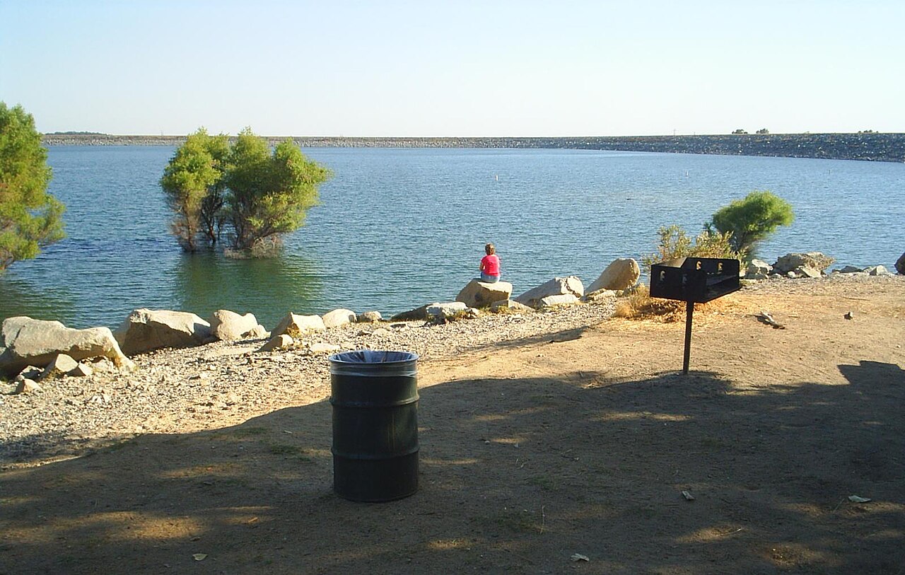
Folsom Lake
Folsom Lake sits on the American River in the Sierra Nevada foothills northeast of Sacramento. The reservoir and its shoreline…
Reservoir
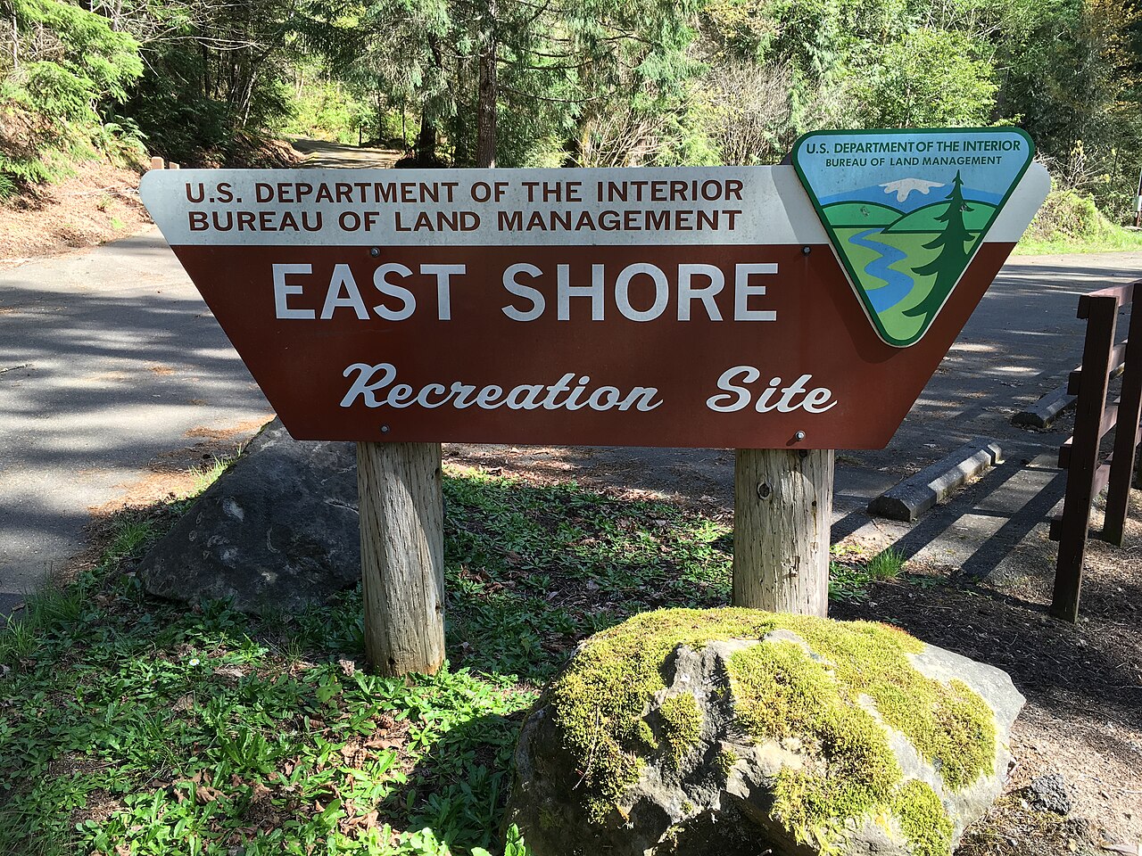
Loon Lake
Loon Lake is a 1,100-acre reservoir in California. The lake is in El Dorado County. Management is in the hands of Sacramento…
Reservoir
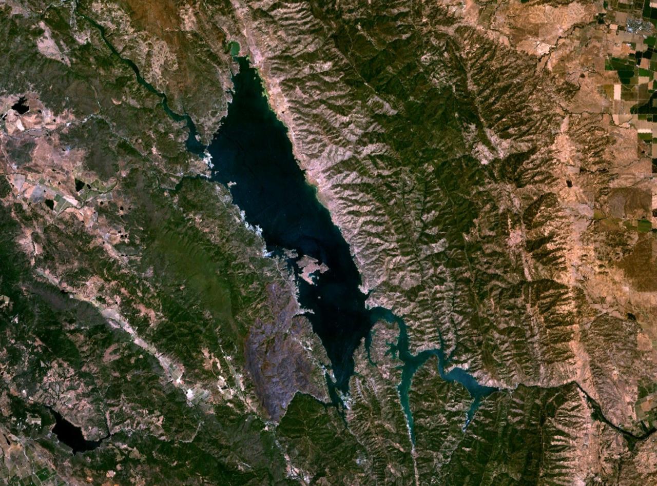
Lake Berryessa
Fed by the Putah Creek, Lake Berryessa holds roughly 19,250 acres of water in California. The lake is in Napa County. It is…
Reservoir
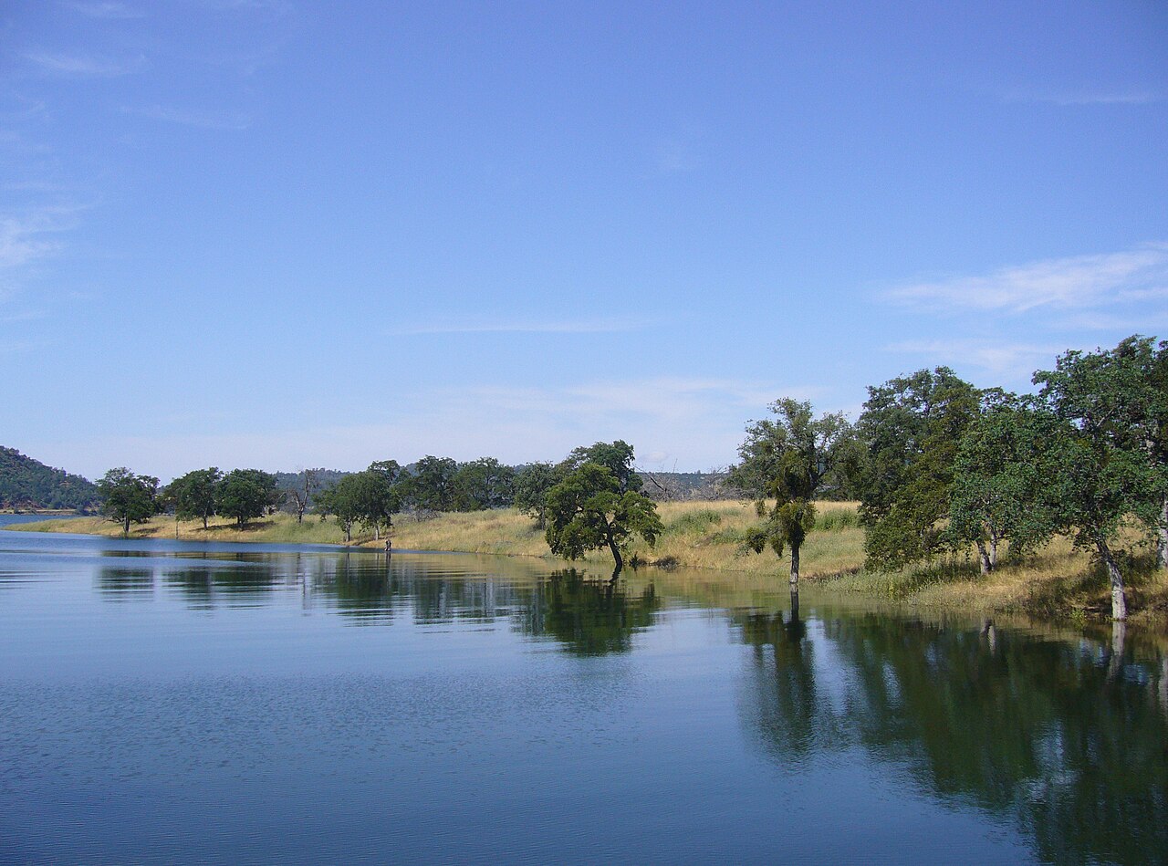
New Melones Lake
Fed by the Stanislaus River, New Melones Lake holds roughly 12,500 acres of water in California. You will find it in Calaveras…
Reservoir
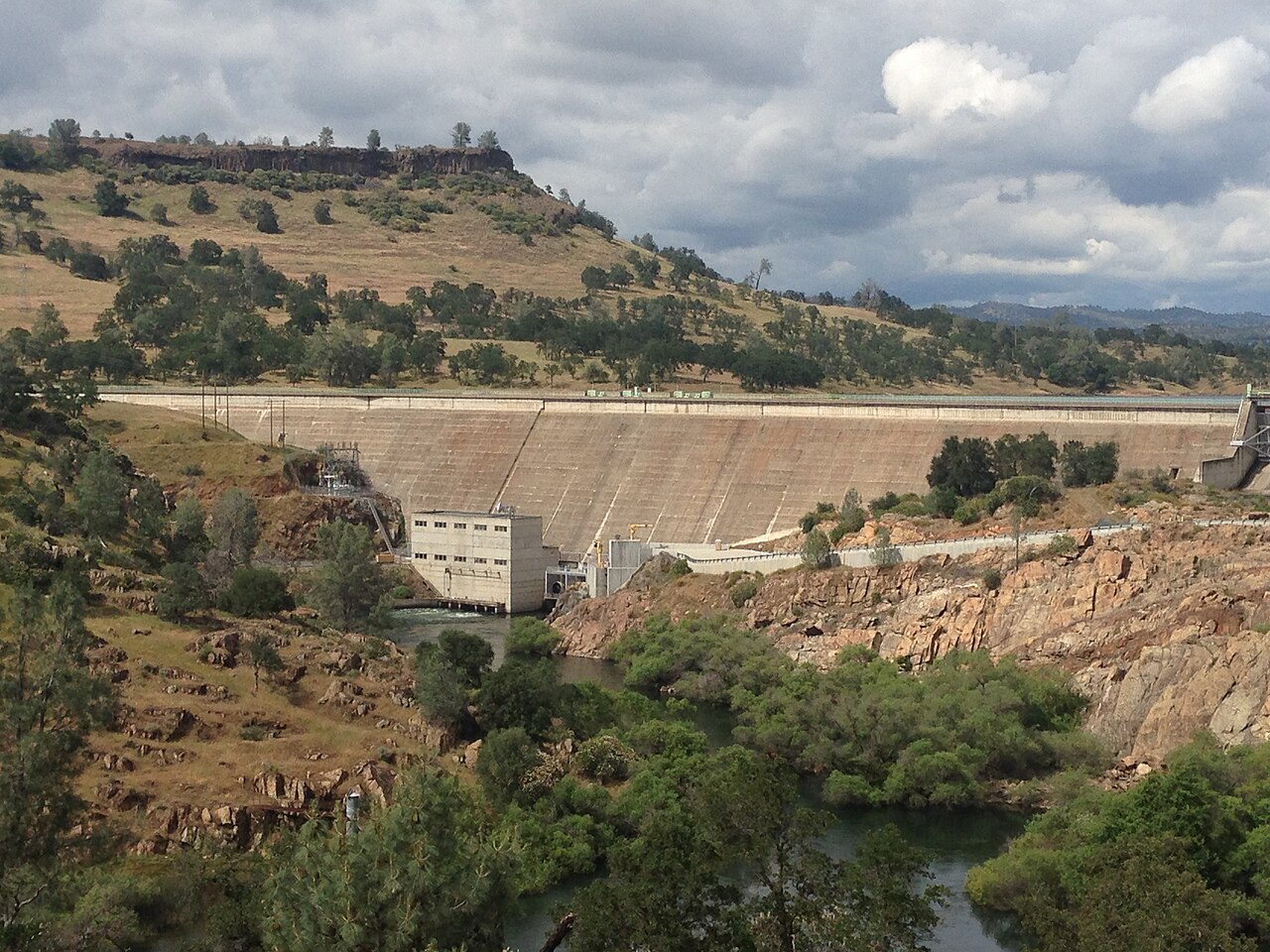
Lake Tulloch
Lake Tulloch is a 1,260-acre reservoir in California. You will find it in Calaveras County. Tri-Dam Project manages it. The gauge…
Reservoir
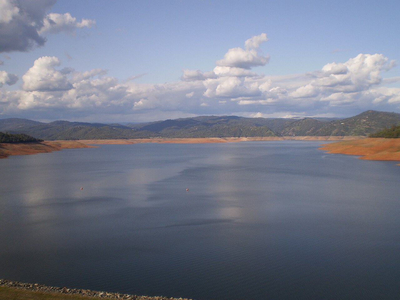
Lake Oroville
Lake Oroville is a 2,520-acre reservoir on the Feather River in California. The lake is in Butte County. It is managed by…
Reservoir
Explore around California
All lakes in California Swimming spots in California Lakes near Grass Valley
Sources
Every figure on this page comes from one of these public sources.