
CountiesKing County
WashingtonNatural lakeKing County
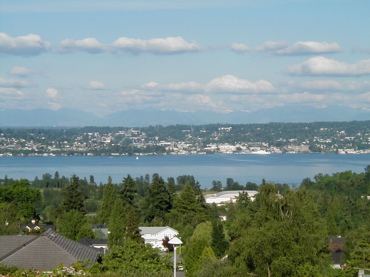
Lake Washington
Lake Washington is a lake of some 21,745 acres on the Lake Washington Ship Canal, in Washington. The lake is in King County. It is managed by USACE Seattle District. This guide maps 11 named swimming spots around its shoreline.
Coordinates47.6300, -122.2600
Surface area21,745 acres
Max depth214 ft
RiverLake Washington Ship Canal
Managed byUSACE Seattle District
Swimming beaches on Lake Washington
11 named swimming spots and shoreline access points, from USGS GNIS, Recreation.gov and the Forest Service. None is staffed by a lifeguard unless the operating agency posts one.
Alki Beach Park
Managed by Seattle Parks and Recreation; Seattle County; 7.6 mi from the lake center.
wikidataSwimming
Golden Gardens Park
Managed by Seattle Parks and Recreation; Seattle County; 7.7 mi from the lake center.
wikidataSwimming
Lake Washington on the map
Lake center, swimming spots and access points.
Weather and water temperature
Air temperature and wind from Open-Meteo. Water temperature only when the lake has a public sensor.
Weather data by Open-Meteo
Lake Washington: access and conditions
The center of the lake is at 47.6300, -122.2600. The deepest point on record is about 214 feet. The surface sits around 16 feet above sea level.
Nearby water includes Lake Sammamish (Washington, 8 mi), Lake Tapps (Washington, 27 mi) and Keechelus Lake (Washington, 46 mi). In all, 45 lakes in Washington are covered here.
Public access at Lake Washington covers 11 named swimming spots and 3 public recreation areas. Recreation areas nearby include Montlake Cut, Fremont Cut and Hiram M. Chittenden Locks- Recreation Facilities. Mount Baker Beach, Fairmont Olympic Hotel and Matthews Beach are on the list. These come from Recreation.gov (RIDB), USGS GNIS and wikidata. Assume no lifeguard is on duty and keep children within reach.
Local marinas and park offices usually know the current state of the water better than any feed. There is no live level reading for Lake Washington. The agencies that run this water do not publish one openly, and we do not estimate what has not been measured.
Swimming season in Washington runs through the warm months, and day-use areas set their own opening dates. Water quality is monitored unevenly on inland lakes, so posted notices are the most reliable guide. Water temperature is not measured at this lake by any public agency we read.
Recreation areas on Lake Washington
3 public recreation areas mapped around the lake by the U.S. Army Corps of Engineers. Facilities vary by area; check the managing office for opening dates and fees.
Montlake Cut Fremont Cut Hiram M. Chittenden Locks- Recreation Facilities
Source: USACE Recreation Areas
Questions about Lake Washington
Can you swim in Lake Washington?
Yes. This guide maps 11 named swimming spots around the lake, including Mount Baker Beach and Fairmont Olympic Hotel. None is staffed by a lifeguard unless the operating agency posts one.
How big is Lake Washington?
About 21,745 acres. Maximum depth is around 214 feet.
What other lakes are near Lake Washington?
The closest in this guide is Lake Sammamish, about 8 miles away in Washington.
Lakes near Lake Washington
Other lakes in this guide, ordered by distance.
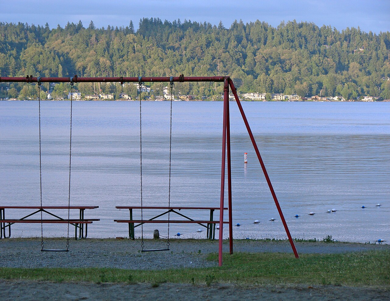
Lake Sammamish
Lake Sammamish is a lake of some 4,893 acres on the Sammamish River, in Washington. It lies in King County. Washington State…
Natural lake2 beaches
Lake Tapps
Lake Tapps is a 2,434-acre reservoir on the outflow = in Washington. You will find it in Pierce County. Cascade Water Alliance…
Reservoir
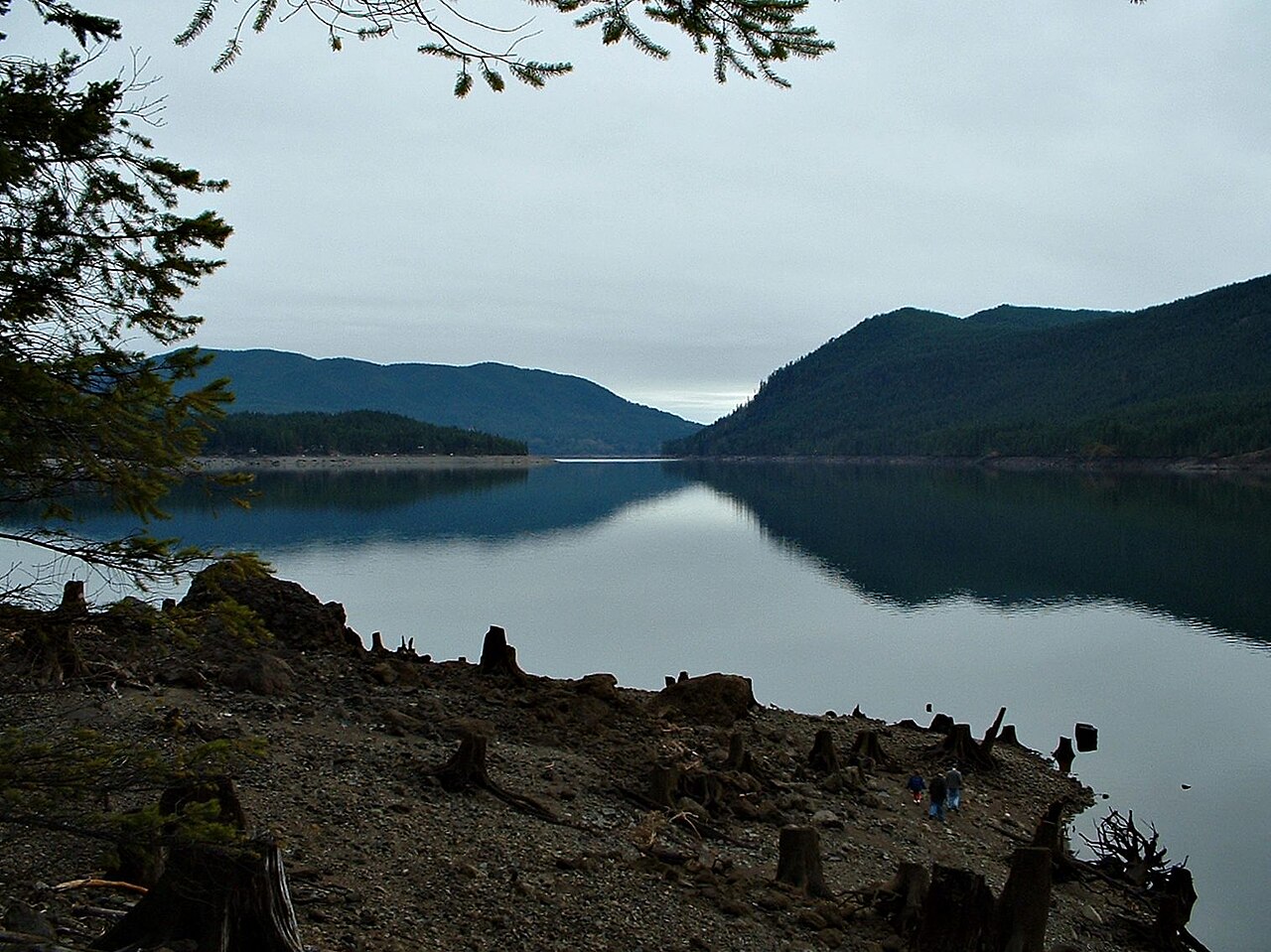
Lake Cushman
Fed by the North Fork Skokomish River, Lake Cushman holds roughly 4,015 acres of water in Washington. Its shoreline falls inside…
Reservoir1 beach
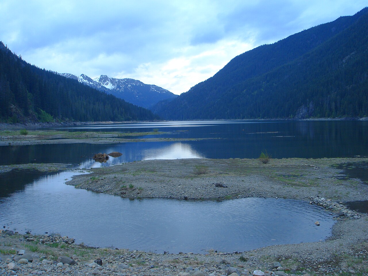
Kachess Lake
Kachess Lake covers about 4,540 acres of the Kachess River in Washington. The lake is in Kittitas County. It is managed by US…
Reservoir
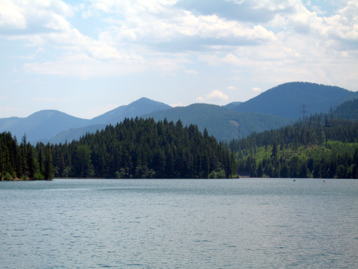
Cle Elum Lake
Fed by the Cle Elum River, Cle Elum Lake holds roughly 4,566 acres of water in Washington. You will find it in Kittitas County.…
Reservoir1 beach
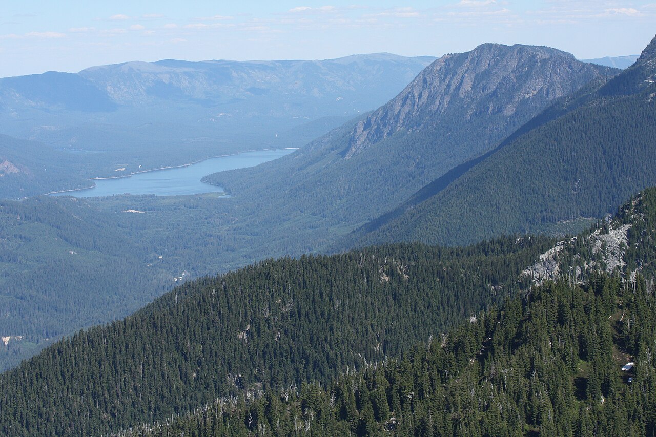
Lake Wenatchee
Fed by the Wenatchee River, Lake Wenatchee holds roughly 2,481 acres of water in Washington. It lies in Chelan County. It is…
Natural lake
Explore around Washington
All lakes in Washington Swimming spots in Washington Lakes near Seattle Lakes near Mercer Island
Sources
Every figure on this page comes from one of these public sources.