
CountiesPierce County
WashingtonReservoirPierce County
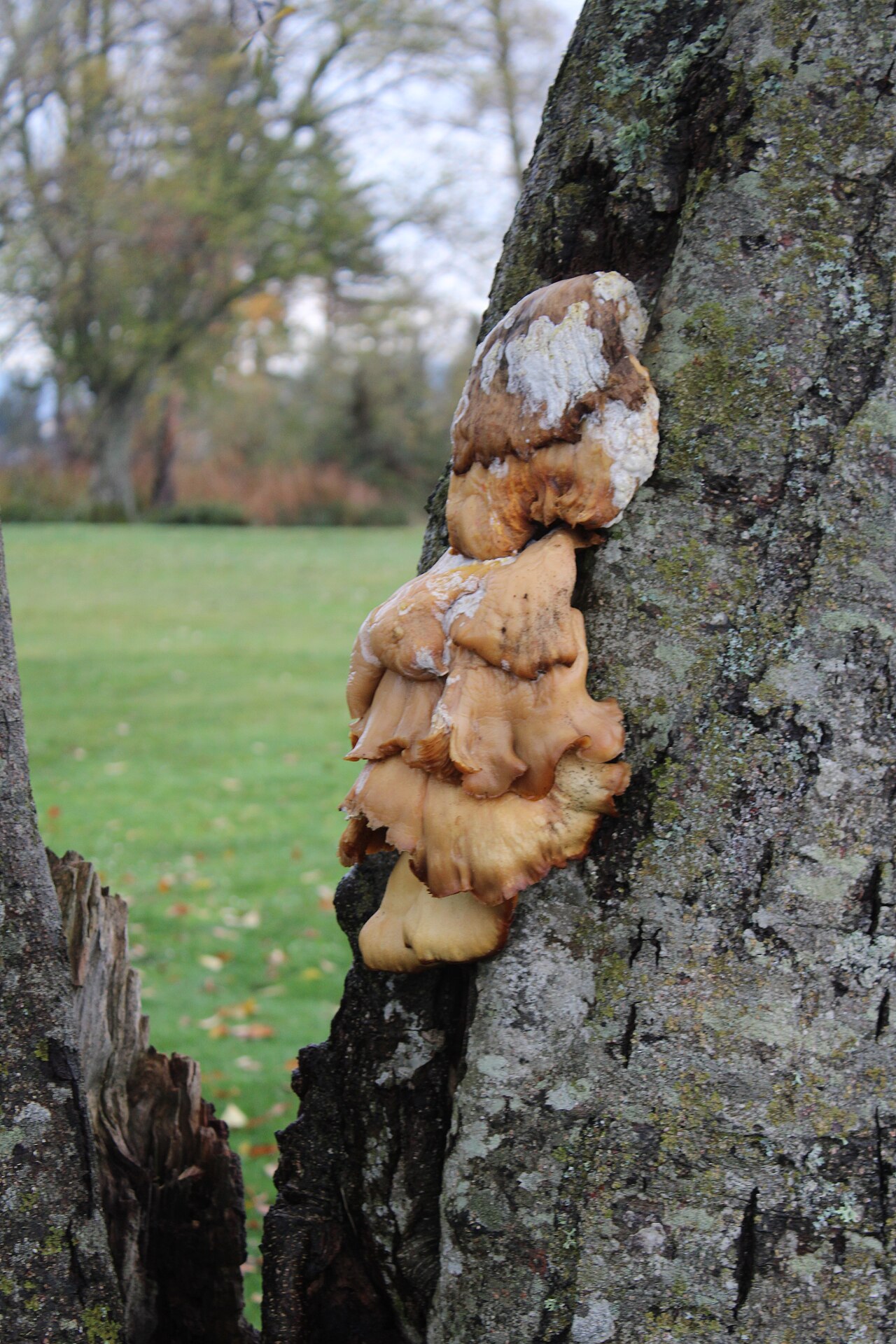
Lake Tapps
Lake Tapps is a 2,434-acre reservoir on the outflow = in Washington. You will find it in Pierce County. Cascade Water Alliance manages it. The gauge last read 540.60 ft.
Water level today: 540.60 ft · see the full record
Coordinates47.2414, -122.1840
Surface area2,434 acres
Riveroutflow =
Managed byCascade Water Alliance
Swimming beaches on Lake Tapps
No named swimming beach is mapped yet for this lake. Access is through agency day-use areas and boat ramps listed below. We add beach pages only when we can confirm a name, coordinates and an operating agency.
Lake Tapps on the map
Lake center, swimming spots and access points.
Weather and water temperature
Air temperature and wind from Open-Meteo. Water temperature only when the lake has a public sensor.
Weather data by Open-Meteo
Water level today
Readings come from station 12101000 (LAKE TAPPS NEAR SUMNER, WA). The last value stored here, 540.60 ft, is from 2026-09-09. Check the reading the morning you go if your plan depends on a specific ramp.
540.60 ft trend not available
Lake Tapps: beaches, ramps and water level
Its coordinates are 47.2414, -122.1840. Outflow feeds the outflow =. The surface sits around 545 feet above sea level.
Nearby water includes Lake Sammamish (Washington, 26 mi), Lake Washington (Washington, 27 mi) and Keechelus Lake (Washington, 39 mi). Washington has 45 lakes on this site in total.
There is no beach on record at Lake Tapps in the datasets this guide reads. Many smaller lakes have no designated beach at all, only informal shoreline access. The nearest mapped swimming spot is Des Moines Beach on Lake Washington, roughly 13 miles away.
Readings come from station 12101000 (LAKE TAPPS NEAR SUMNER, WA). The last value stored here, 540.60 ft, is from 2026-09-09. Check the reading the morning you go if your plan depends on a specific ramp.
No public sensor reports water temperature at Lake Tapps, so the panel shows air temperature and wind. Most Washington day-use areas open for the summer season and close outside it. If the water looks like pea soup or paint, stay out and report it to the managing agency.
Questions about Lake Tapps
Is there a beach at Lake Tapps?
No named swimming beach appears in the federal and state datasets this guide reads. Check the operating agency for day-use areas on the ground.
How big is Lake Tapps?
About 2,434 acres.
What other lakes are near Lake Tapps?
The closest in this guide is Lake Sammamish, about 26 miles away in Washington.
Lakes near Lake Tapps
Other lakes in this guide, ordered by distance.
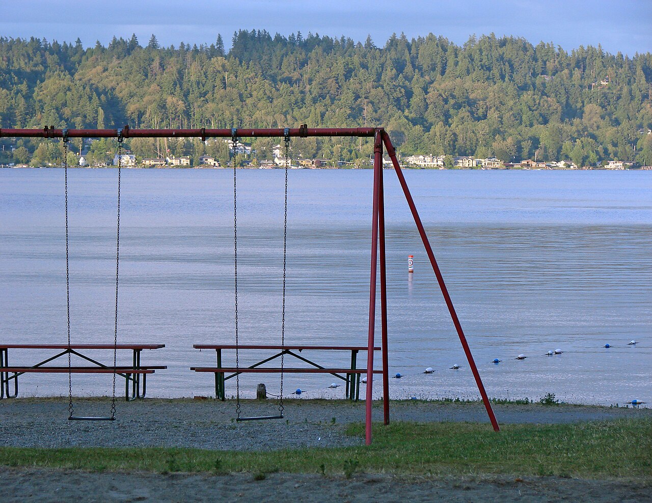
Lake Sammamish
Lake Sammamish is a lake of some 4,893 acres on the Sammamish River, in Washington. It lies in King County. Washington State…
Natural lake2 beaches
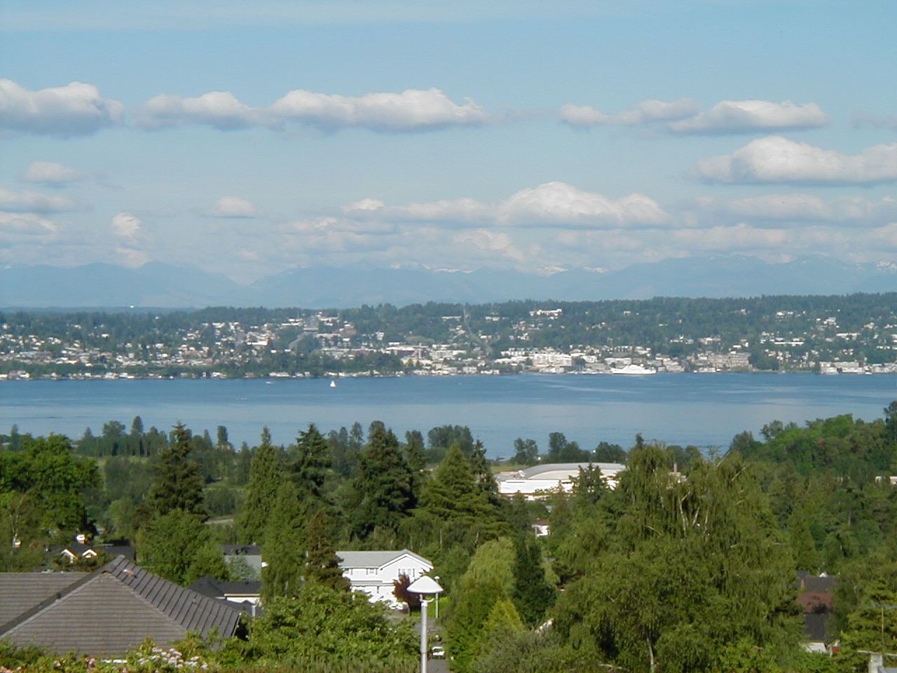
Lake Washington
Lake Washington is a lake of some 21,745 acres on the Lake Washington Ship Canal, in Washington. The lake is in King County. It…
Natural lake11 beaches
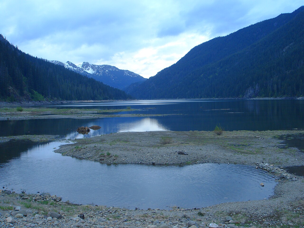
Kachess Lake
Kachess Lake covers about 4,540 acres of the Kachess River in Washington. The lake is in Kittitas County. It is managed by US…
Reservoir
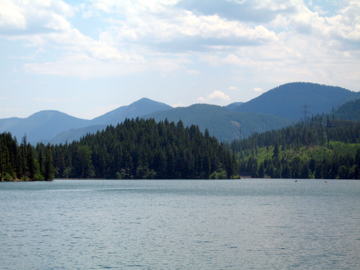
Cle Elum Lake
Fed by the Cle Elum River, Cle Elum Lake holds roughly 4,566 acres of water in Washington. You will find it in Kittitas County.…
Reservoir1 beach
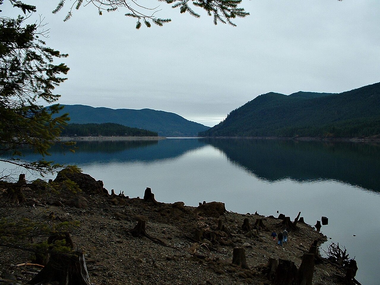
Lake Cushman
Fed by the North Fork Skokomish River, Lake Cushman holds roughly 4,015 acres of water in Washington. Its shoreline falls inside…
Reservoir1 beach
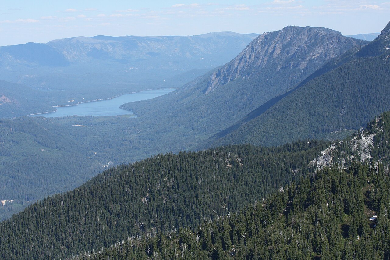
Lake Wenatchee
Fed by the Wenatchee River, Lake Wenatchee holds roughly 2,481 acres of water in Washington. It lies in Chelan County. It is…
Natural lake
Explore around Washington
All lakes in Washington Swimming spots in Washington Lakes near Bonney Lake Lakes near Auburn
Sources
Every figure on this page comes from one of these public sources.