
CountiesOrange County
VirginiaReservoirOrange County
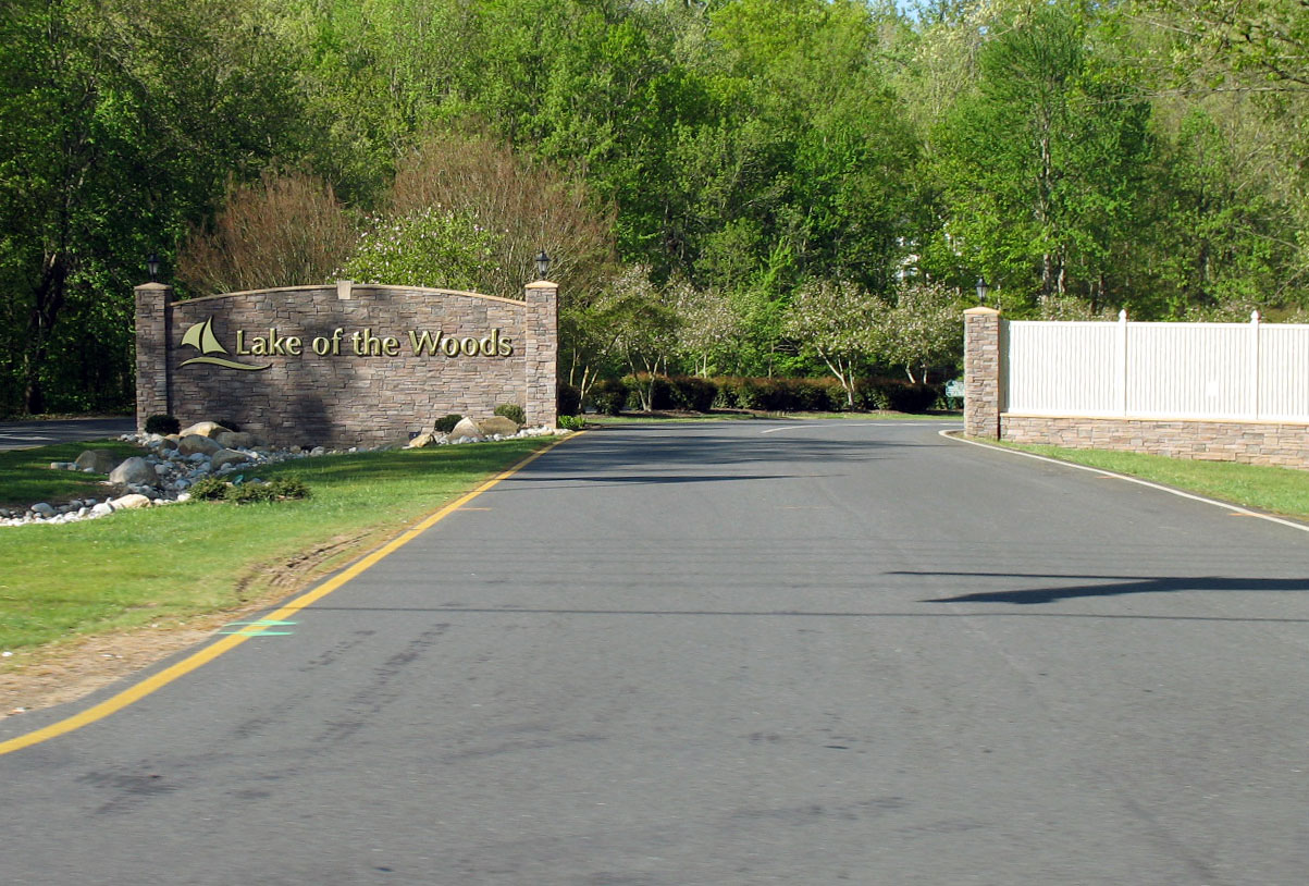
Lake of the Woods
Lake of the Woods is a 1,074,908-acre lake on the Winnipeg River in Minnesota. The lake is in Lake of the Woods County. It is managed by Minnesota DNR. The gauge last read 58.75 ft.
Coordinates38.3367, -77.7558
Surface area3,668 acres
Managed byLake of the Woods Association
Swimming beaches on Lake of the Woods
No named swimming beach is mapped yet for this lake. Access is through agency day-use areas and boat ramps listed below. We add beach pages only when we can confirm a name, coordinates and an operating agency.
Lake of the Woods on the map
Lake center, swimming spots and access points.
Weather and water temperature
Air temperature and wind from Open-Meteo. Water temperature only when the lake has a public sensor.
Weather data by Open-Meteo
Lake of the Woods: access and conditions
Its coordinates are 49.0903, -95.2389. It lies at roughly 1,056 feet of elevation. The deepest point on record is about 210 feet.
The closest lakes in this guide are Upper Red Lake (Minnesota, 71 mi), Lake Bemidji (Minnesota, 113 mi) and Lake Winnibigoshish (Minnesota, 123 mi). In all, 34 lakes in Minnesota are covered here.
Lake of the Woods has no catalogued swimming beach in the sources we read, so plan around the managing agency's own facilities. County parks and private resorts sometimes provide access that federal datasets never record.
Readings come from station 05140520 (LAKE OF THE WOODS AT WARROAD, MN). Over the record shown on the level page the gauge has moved between 58.03 ft and 59.89 ft (low on 2026-03-08, high on 2026-06-21). The last value stored here, 58.75 ft, is from 2026-09-09. When the pool drops, shoreline beaches grow and shallow ramps can run out of concrete.
No public sensor reports water temperature at Lake of the Woods, so the panel shows air temperature and wind. Season dates vary by park; the operating agency publishes them each spring. Inland lakes are not monitored the way ocean beaches are, so posted signs matter more here.
Questions about Lake of the Woods
What is the current water level at Lake of the Woods?
The latest reading is 58.75 ft, from USGS gauge 05140520.
Is there a beach at Lake of the Woods?
No named swimming beach appears in the federal and state datasets this guide reads. Check the operating agency for day-use areas on the ground.
How big is Lake of the Woods?
About 1,074,908 acres. Maximum depth is around 210 feet.
What other lakes are near Lake of the Woods?
The closest in this guide is Upper Red Lake, about 71 miles away in Minnesota.
Lakes near Lake of the Woods
Other lakes in this guide, ordered by distance.
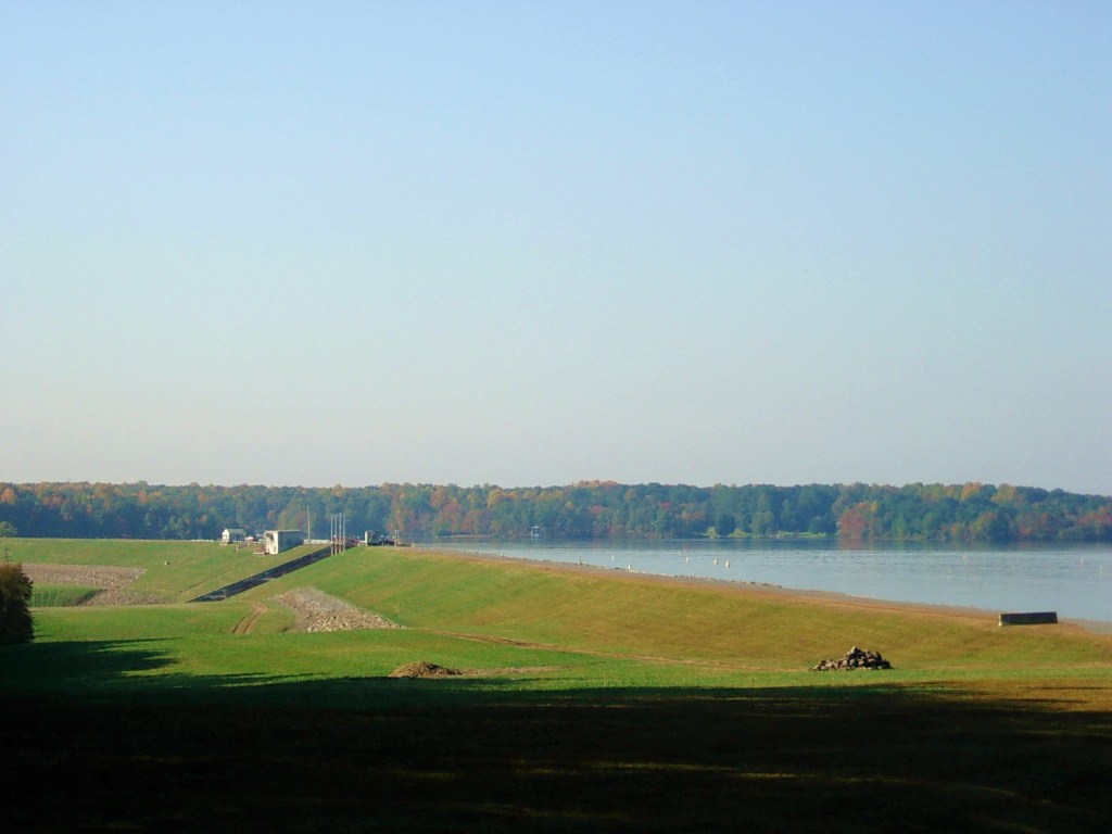
Lake Anna
Lake Anna covers about 13,097 acres of the North Anna River in Virginia. Its shoreline falls inside Louisa County. It is managed…
Reservoir
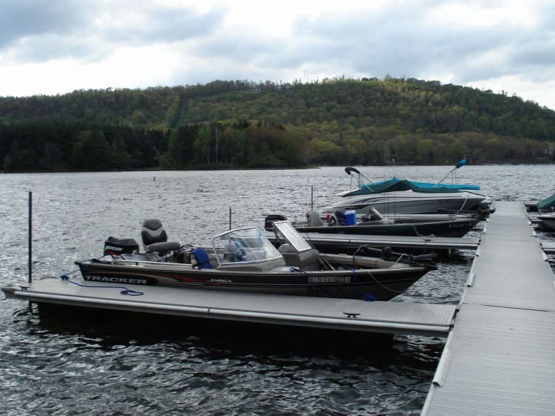
Deep Creek Lake
Deep Creek Lake is a 3,628-acre reservoir on the Deep Creek in Maryland. It lies in Garrett County. Brookfield Renewable /…
Reservoir
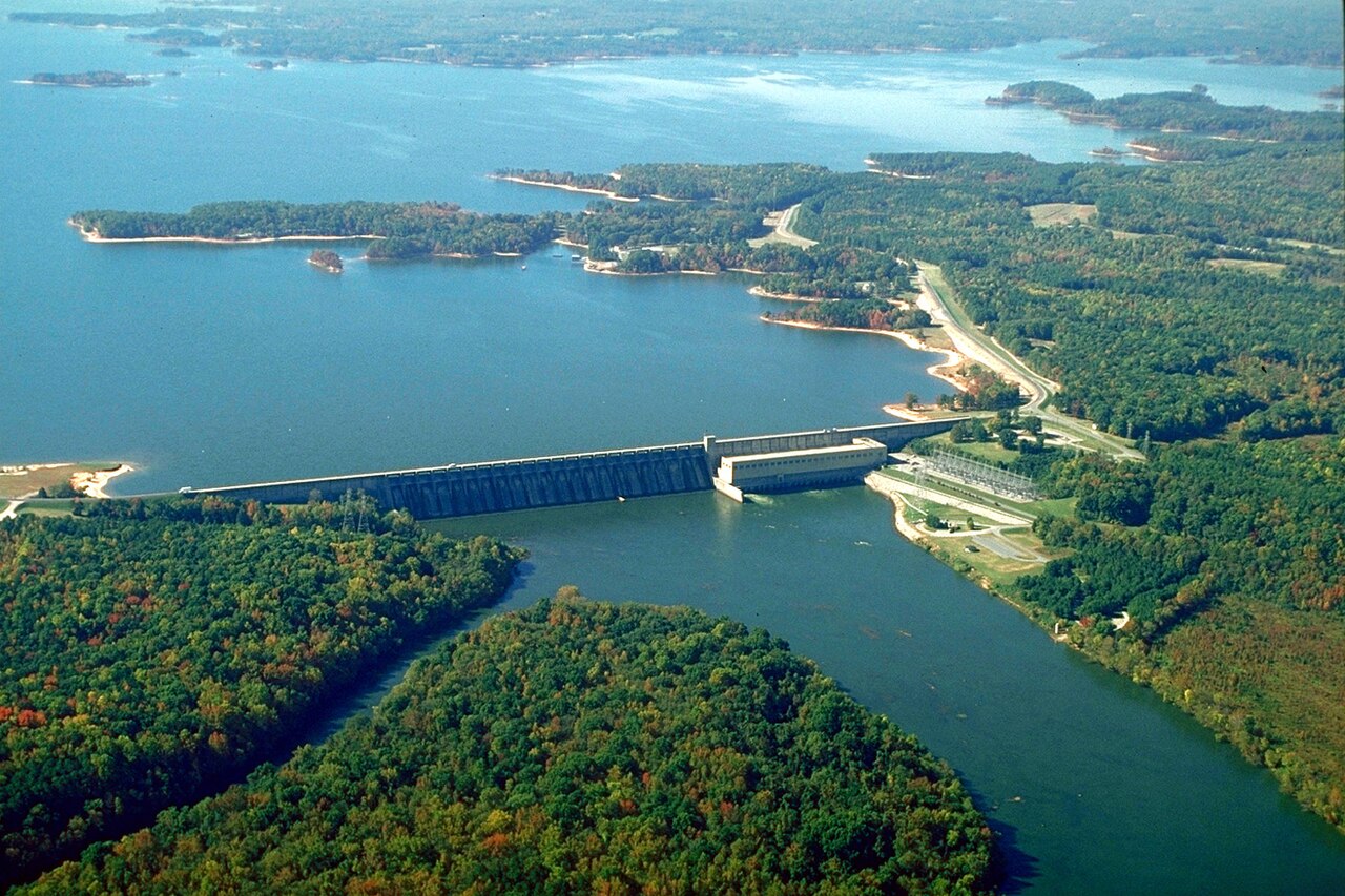
John H. Kerr Reservoir
John H. Kerr Reservoir, known locally as Buggs Island Lake, is the largest lake in Virginia and reaches across the state line…
Reservoir
Lake Gaston
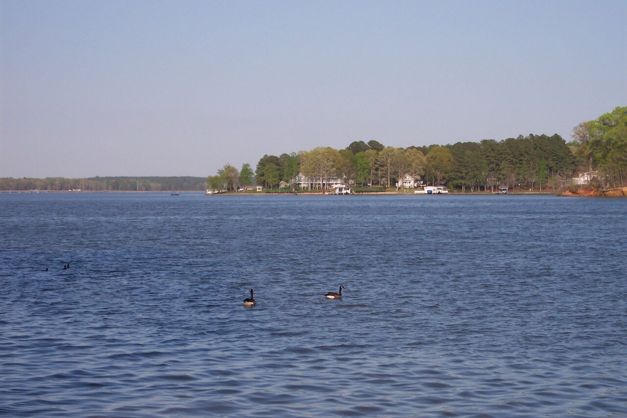
Lake Gaston is a reservoir of some 19,768 acres on the outflow =, in North Carolina. You will find it in Warren County.…
Reservoir
Smith Mountain Lake
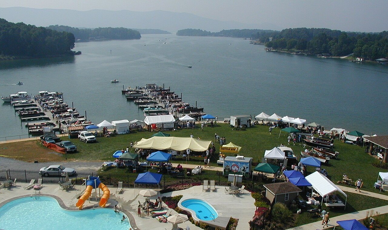
Smith Mountain Lake covers about 20,510 acres of the Roanoke River in Virginia. You will find it in Franklin County. Appalachian…
Reservoir
Youghiogheny River Lake
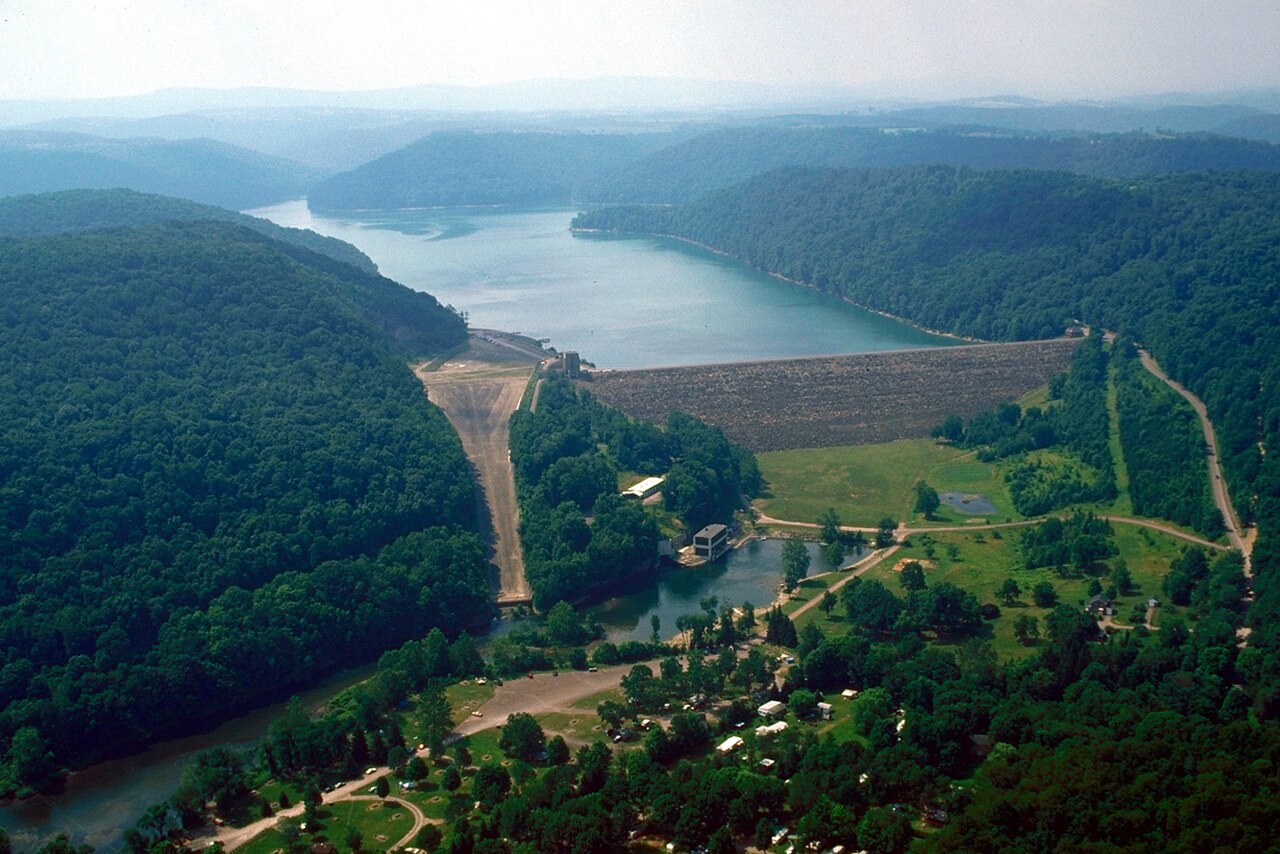
Youghiogheny River Lake is a reservoir of some 2,840 acres on the Youghiogheny River, in Pennsylvania. It lies in Somerset…
Reservoir
Explore around Virginia
Sources
Every figure on this page comes from one of these public sources.