
CountiesMecklenburg, Charlotte and Halifax counties (VA); Vance, Granville and Warren counties (NC)
VirginiaReservoirMecklenburg County
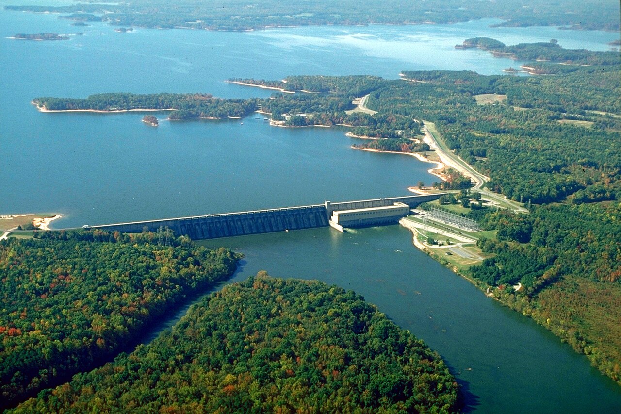
John H. Kerr Reservoir
John H. Kerr Reservoir, known locally as Buggs Island Lake, is the largest lake in Virginia and reaches across the state line into North Carolina. The Army Corps of Engineers built the dam on the Roanoke River between 1947 and 1952 for flood control and hydroelectric power. The lake covers roughly 50,000 acres with about 850 miles of shoreline.
Water level today: 290.30 ft · see the full record
Nearest townBoydton, VA
Coordinates36.5711, -78.3260
Surface area50,000 acres
Max depth100 ft
Shoreline850 mi
RiverRoanoke River
Completed1952
Managed byU.S. Army Corps of Engineers, Wilmington District
Swimming beaches on John H. Kerr Reservoir
No named swimming beach is mapped yet for this lake. Access is through agency day-use areas and boat ramps listed below. We add beach pages only when we can confirm a name, coordinates and an operating agency.
John H. Kerr Reservoir on the map
Lake center, swimming spots and access points.
Weather and water temperature
Air temperature and wind from Open-Meteo. Water temperature only when the lake has a public sensor.
Weather data by Open-Meteo
Water level today
Kerr Lake is a flood-control reservoir, and the pool moves with rainfall across the Roanoke basin rather than on a fixed calendar. The U.S. Geological Survey gauge at the dam near Boydton reports the water surface elevation continuously. The USGS daily-values service does not currently publish a long record for this station, so this page shows the range of the last 120 days rather than all-time records.
290.30 ft trend not available
About John H. Kerr Reservoir
The reservoir touches six counties: Vance, Granville and Warren in North Carolina, and Mecklenburg, Charlotte and Halifax in Virginia. That spread is why the lake carries two names, Kerr on maps and Buggs Island in local use, and why the swimming beaches sit inside two different state park systems.
The North Carolina side is organized as Kerr Lake State Recreation Area, with several separate access areas that have designated swimming beaches, campgrounds and ramps. Virginia's public access includes state park units along the northern shore. Fees and season dates are set by each park, not by the Corps of Engineers.
Water level drives what is usable. The pool at the dam near Boydton has moved between 290.29 and 299.93 feet over the last 120 days, a range of nearly 10 feet. When the lake drops, the gentle red-clay shoreline stretches out and some low-water ramps stop reaching the water.
Summer swimming runs from late May through early September, when the park beaches are open and staffed for fee collection. The Corps of Engineers operates the dam for flood control, so the level can rise quickly after heavy rain in the Roanoke basin upstream.
Recreation areas on John H. Kerr Reservoir
20 public recreation areas mapped around the lake by the U.S. Army Corps of Engineers. Facilities vary by area; check the managing office for opening dates and fees.
North Bend Park Visitor Assistance Center Kimball Point Park Palmer Point Liberty Hill Day Use Area Tanner Center County Line Park Tailrace Park Eastland Creek Park Henderson Point Park Hibernia Park Ivy Hill Park Island Creek Park Bullocksville Park Rudds Creek Recreation Area Nutbush Bridge Creek Park Longwood Park Occonneechee State Park
Source: USACE Recreation Areas
Boat ramps and access points
Public launch points recorded around the lake. Low water can close shallow ramps, so check the level before hauling a trailer.
| Name | Operated by | Distance | Source |
|---|---|---|---|
| Eagle Point Landing | USACE | 4.5 mi | source |
| Flemingtown Road Landing | State Agency (Other Than Military) | 9.5 mi | source |
Ramp data: USACE Recreation Areas
Questions about John H. Kerr Reservoir
Can you swim in Kerr Lake?
Yes. Designated swimming beaches are inside Kerr Lake State Recreation Area in North Carolina and in Virginia state park units on the northern shore. Beaches outside those units are unsupervised.
How big is Kerr Lake?
About 50,000 acres at maximum capacity, with roughly 850 miles of shoreline. It is the largest lake in Virginia.
Lakes near John H. Kerr Reservoir
Other lakes in this guide, ordered by distance.
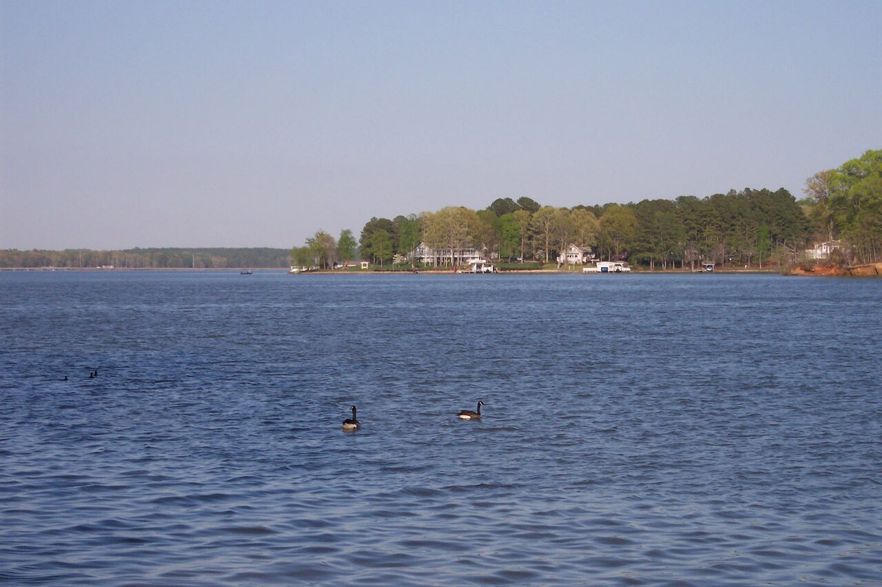
Lake Gaston
Lake Gaston is a reservoir of some 19,768 acres on the outflow =, in North Carolina. You will find it in Warren County.…
Reservoir
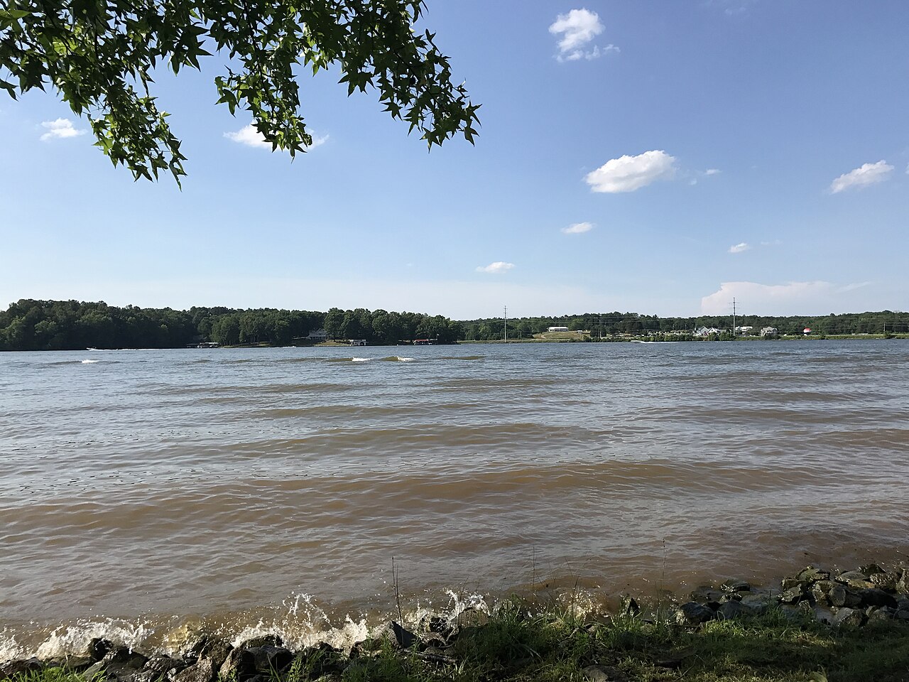
Hyco Lake
Fed by the catchment =, Hyco Lake holds roughly 3,750 acres of water in North Carolina. You will find it in Person County.…
Reservoir
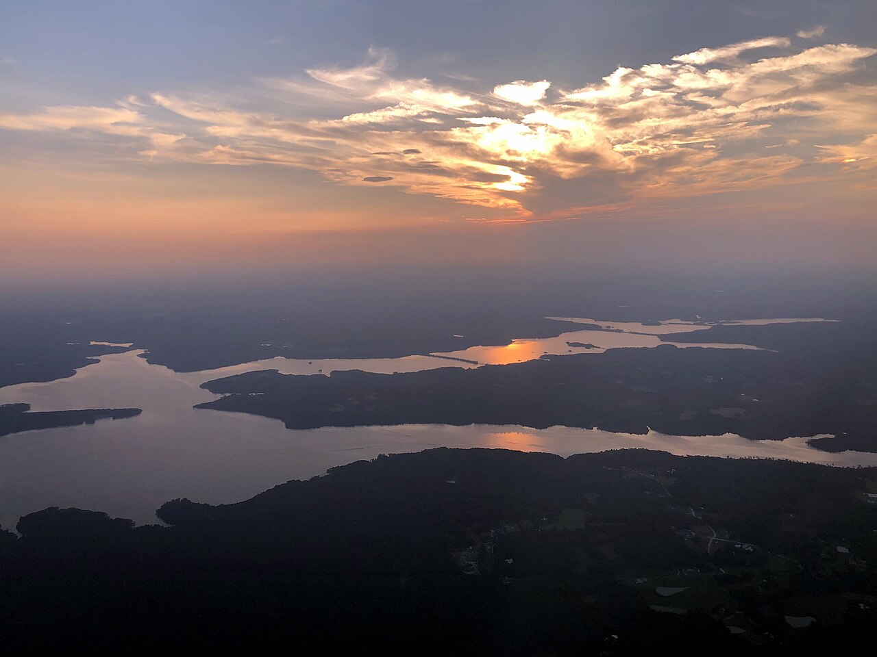
Falls Lake
Falls Lake is a reservoir of some 12,355 acres on the Neuse River, in North Carolina. Management is in the hands of USACE…
Reservoir
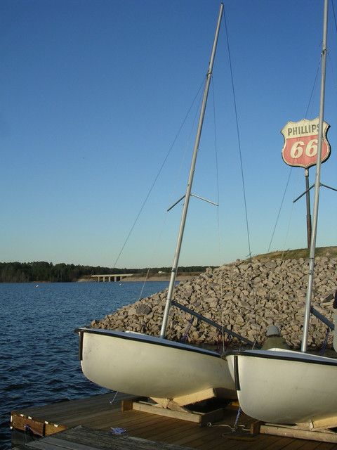
B. Everett Jordan Lake
Fed by the Haw River, B. Everett Jordan Lake holds roughly 13,937 acres of water in North Carolina. It lies in Chatham County. It…
Reservoir
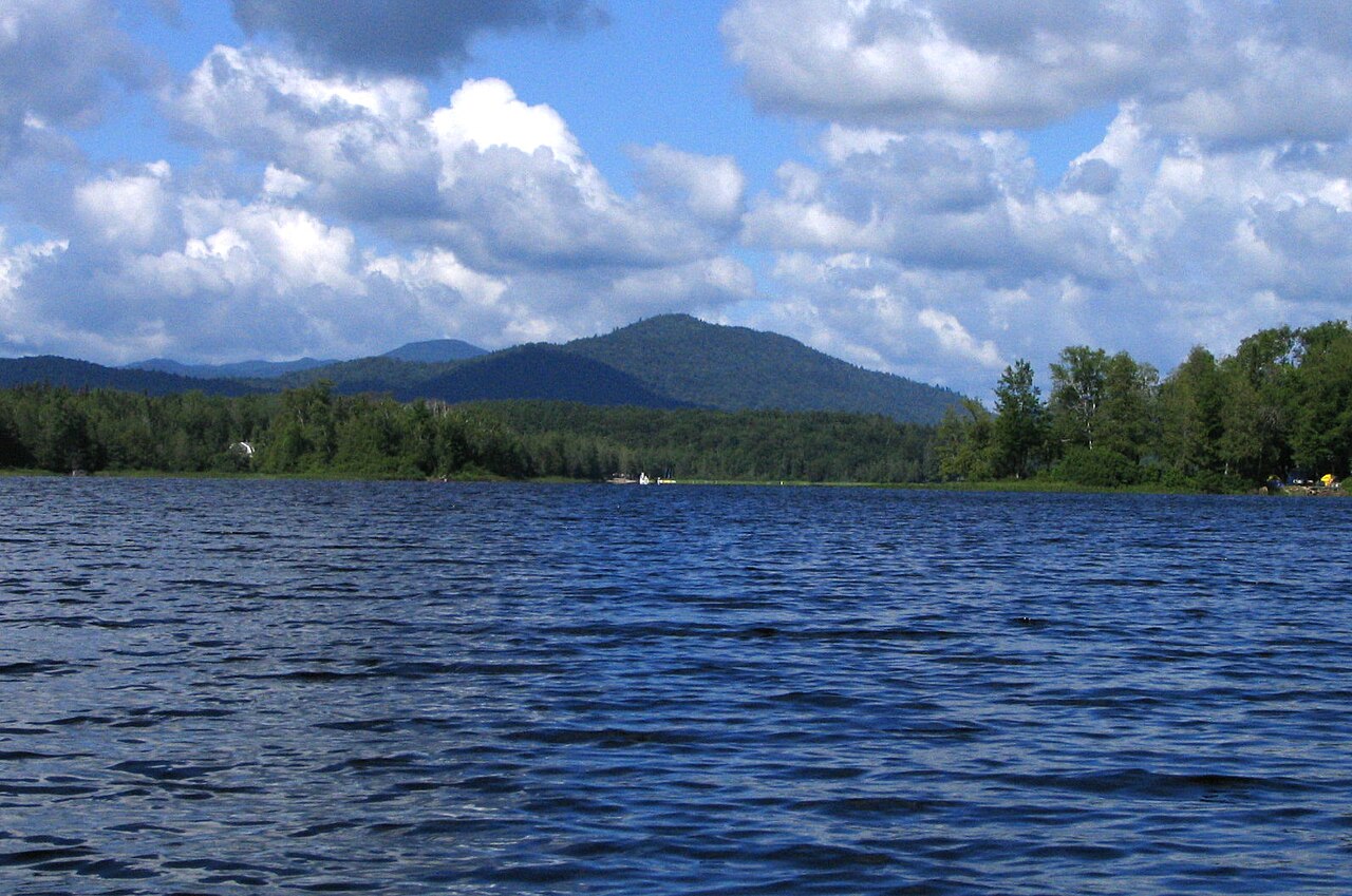
Harris Lake
Harris Lake covers about 4,100 acres of the Buckhorn Creek in North Carolina. You will find it in Chatham County. It is managed…
Reservoir
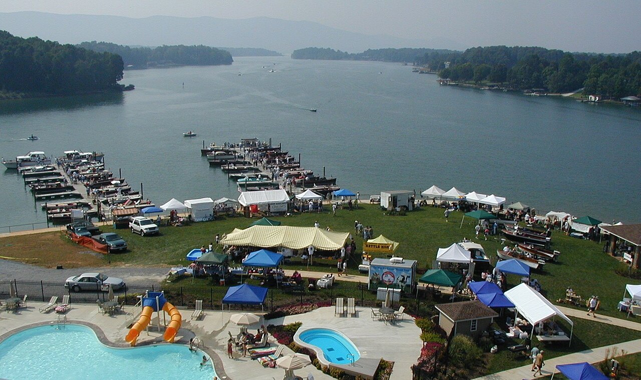
Smith Mountain Lake
Smith Mountain Lake covers about 20,510 acres of the Roanoke River in Virginia. You will find it in Franklin County. Appalachian…
Reservoir
Explore around Virginia
Sources
Every figure on this page comes from one of these public sources.