
CountiesWasatch County
UtahReservoirWasatch County
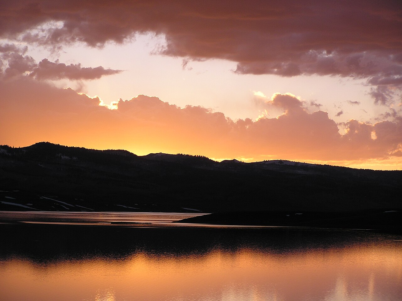
Strawberry Reservoir
Strawberry Reservoir is a 17,164-acre reservoir on the Strawberry River in Utah. It lies in Wasatch County. It is managed by Utah DWR / USFS Uinta-Wasatch-Cache NF (USBR-owned, CUWCD-operated).
Coordinates40.1744, -111.1268
Surface area17,164 acres
Max depth200 ft
RiverStrawberry River
Managed byUtah DWR / USFS Uinta-Wasatch-Cache NF (USBR-owned, CUWCD-operated)
Swimming beaches on Strawberry Reservoir
No named swimming beach is mapped yet for this lake. Access is through agency day-use areas and boat ramps listed below. We add beach pages only when we can confirm a name, coordinates and an operating agency.
Strawberry Reservoir on the map
Lake center, swimming spots and access points.
Weather and water temperature
Air temperature and wind from Open-Meteo. Water temperature only when the lake has a public sensor.
Weather data by Open-Meteo
What to know before you go to Strawberry Reservoir
Strawberry Reservoir sits at 40.1744, -111.1268. The Strawberry River carries the outflow. The deepest point on record is about 200 feet. The surface sits around 7,612 feet above sea level.
Scofield State Park, on Scofield Reservoir, is the closest named beach in this guide, about 25 miles off. No named swimming beach is mapped at Strawberry Reservoir in the federal and state datasets this guide reads. Access is through whatever the operating agency provides on the ground, so check with them first. Where there is no marked beach, entry is usually from a boat ramp or an unimproved bank.
There is no water temperature sensor here, so only air conditions are shown. Swimming season in Utah runs through the warm months, and day-use areas set their own opening dates. If the water looks like pea soup or paint, stay out and report it to the managing agency.
If the operating agency starts publishing a level for this lake, it will appear here. Strawberry Reservoir has no public water level gauge that we can read, so there is no level chart here. An invented number would be worse than none.
The closest lakes in this guide are Currant Creek Reservoir (Utah, 12 mi), Deer Creek Reservoir (Utah, 26 mi) and Scofield Reservoir (Utah, 27 mi). Utah has 28 lakes on this site in total.
Questions about Strawberry Reservoir
Is there a beach at Strawberry Reservoir?
No named swimming beach appears in the federal and state datasets this guide reads. Check the operating agency for day-use areas on the ground.
How big is Strawberry Reservoir?
About 17,164 acres. Maximum depth is around 200 feet.
What other lakes are near Strawberry Reservoir?
The closest in this guide is Currant Creek Reservoir, about 12 miles away in Utah.
Lakes near Strawberry Reservoir
Other lakes in this guide, ordered by distance.
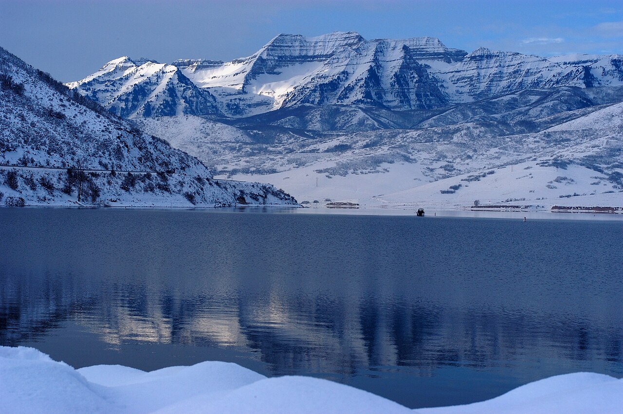
Deer Creek Reservoir
Deer Creek Reservoir is a 2,680-acre reservoir on the Provo River in Utah. The lake is in Wasatch County. It is managed by Utah…
Reservoir
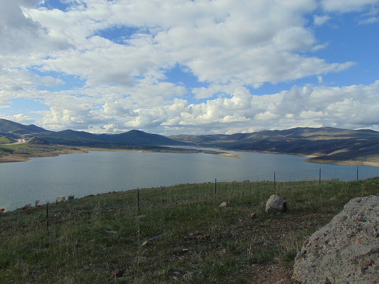
Jordanelle Reservoir
Fed by the Provo River, Jordanelle Reservoir holds roughly 3,300 acres of water in Utah. The lake is in Wasatch County.…
Reservoir1 beach
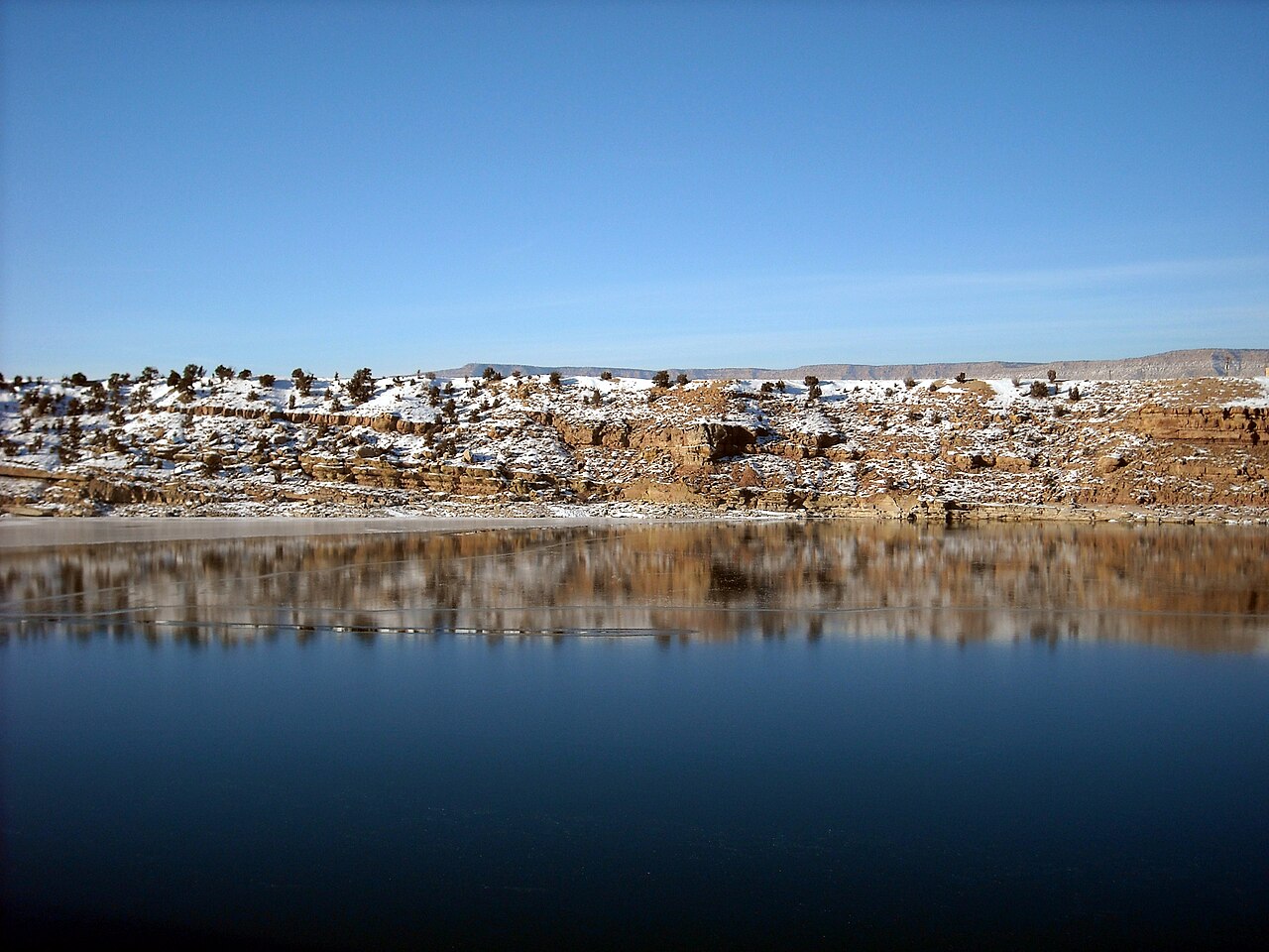
Starvation Reservoir
Starvation Reservoir covers about 3,300 acres in Utah. The lake is in Duchesne County. Management is in the hands of Utah State…
Reservoir1 beach
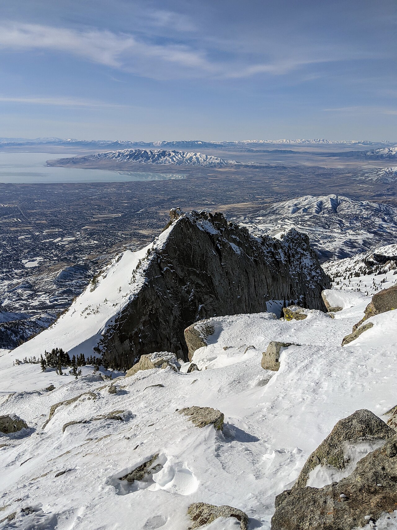
Utah Lake
Utah Lake covers about 96,000 acres in Utah. Its shoreline falls inside Utah County. Utah State Parks (Utah Lake State Park)…
Natural lake
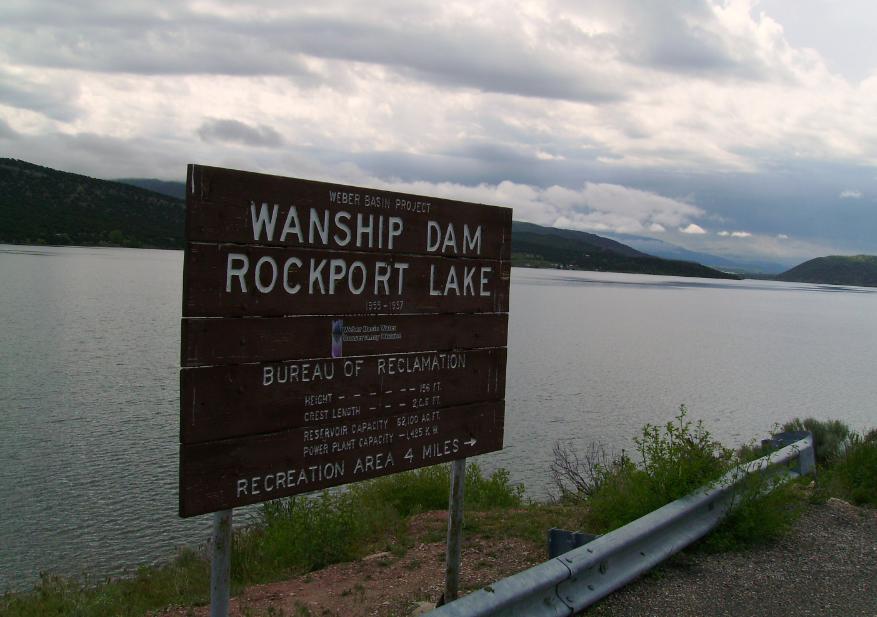
Rockport Reservoir
Rockport Reservoir is a 1,080-acre reservoir on the Weber River in Utah. Its shoreline falls inside Summit County. Utah State…
Reservoir1 beach
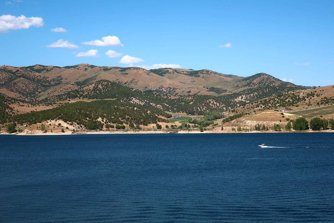
Echo Reservoir
Echo Reservoir is a 1,394-acre reservoir in Utah. You will find it in Summit County. It is managed by Utah State Parks…
Reservoir
Explore around Utah
All lakes in Utah Swimming spots in Utah Lakes near Mapleton Lakes near Springville
Sources
Every figure on this page comes from one of these public sources.