
CountiesDuchesne County
UtahReservoirDuchesne County
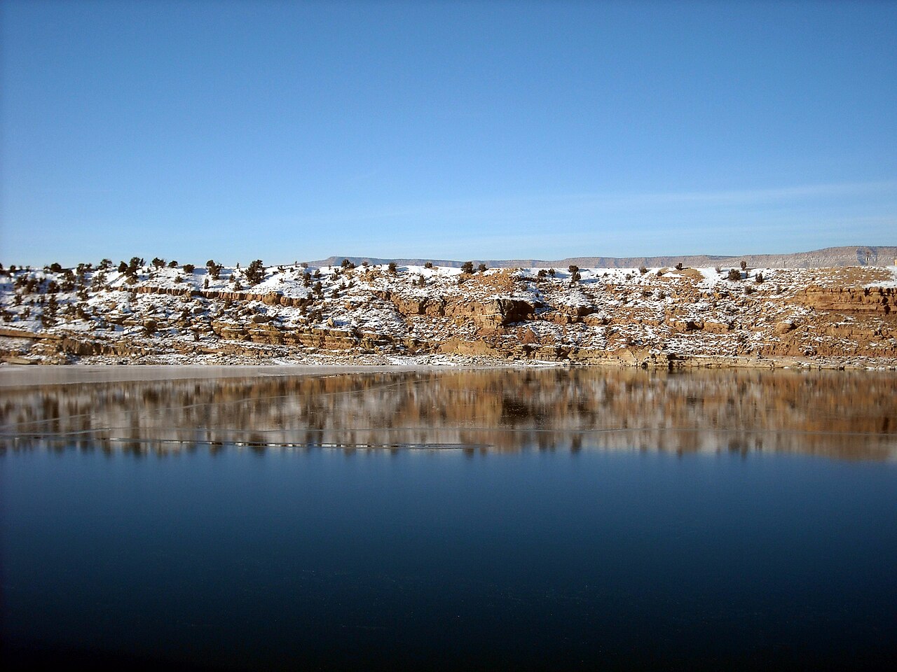
Starvation Reservoir
Starvation Reservoir covers about 3,300 acres in Utah. The lake is in Duchesne County. Management is in the hands of Utah State Parks (USBR-owned, CUWCD-operated). This guide maps 1 named swimming spot around its shoreline.
Coordinates40.1911, -110.4658
Surface area3,300 acres
Managed byUtah State Parks (USBR-owned, CUWCD-operated)
Swimming beaches on Starvation Reservoir
1 named swimming spot and shoreline access points, from USGS GNIS, Recreation.gov and the Forest Service. None is staffed by a lifeguard unless the operating agency posts one.
Starvation State Park
Fee information published; 0.6 mi from the lake center.
Recreation.gov (RIDB)Fee Information Published
Starvation Reservoir on the map
Lake center, swimming spots and access points.
Weather and water temperature
Air temperature and wind from Open-Meteo. Water temperature only when the lake has a public sensor.
Weather data by Open-Meteo
About Starvation Reservoir
The shoreline of Starvation Reservoir has 1 named swimming spot in the datasets we read. These come from Recreation.gov (RIDB). Starvation State Park are on the list. Unless the operating agency says otherwise, treat these as unsupervised swimming.
Freshwater advisories are issued locally, so check the state health department before you swim. Most Utah day-use areas open for the summer season and close outside it. There is no water temperature sensor here, so only air conditions are shown.
There is no live level reading for Starvation Reservoir. The agencies that run this water do not publish one openly, and we do not estimate what has not been measured. Ask the managing agency directly if the level matters for your trip.
Nearby water includes Moon Lake (Utah, 26 mi), Upper Stillwater Reservoir (Utah, 29 mi) and Currant Creek Reservoir (Utah, 33 mi). In all, 28 lakes in Utah are covered here.
Questions about Starvation Reservoir
Can you swim in Starvation Reservoir?
Yes. This guide maps 1 named swimming spot around the lake, including Starvation State Park. None is staffed by a lifeguard unless the operating agency posts one.
How big is Starvation Reservoir?
About 3,300 acres.
What other lakes are near Starvation Reservoir?
The closest in this guide is Moon Lake, about 26 miles away in Utah.
Lakes near Starvation Reservoir
Other lakes in this guide, ordered by distance.
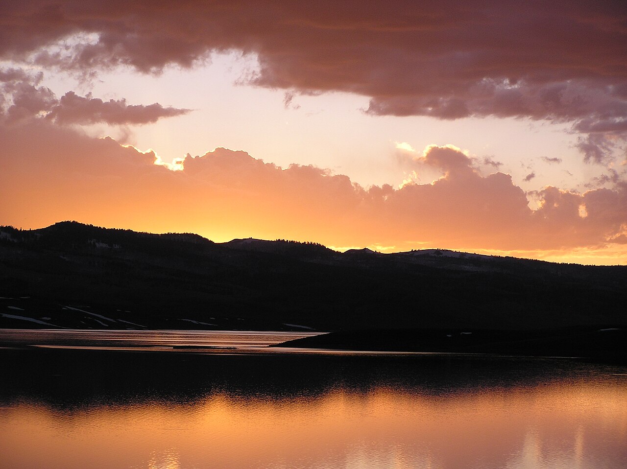
Strawberry Reservoir
Strawberry Reservoir is a 17,164-acre reservoir on the Strawberry River in Utah. It lies in Wasatch County. It is managed by Utah…
Reservoir
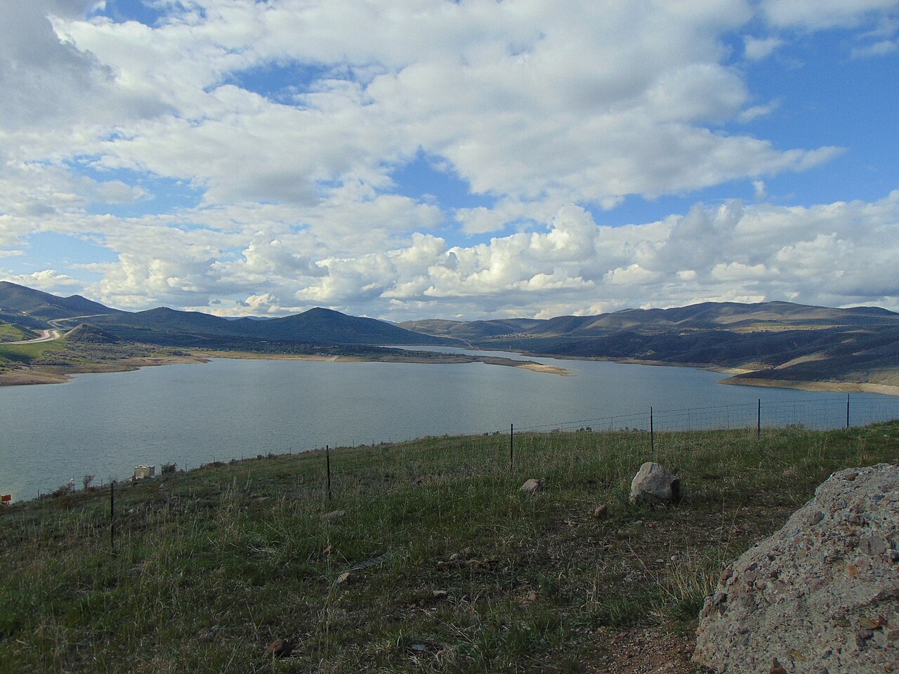
Jordanelle Reservoir
Fed by the Provo River, Jordanelle Reservoir holds roughly 3,300 acres of water in Utah. The lake is in Wasatch County.…
Reservoir1 beach
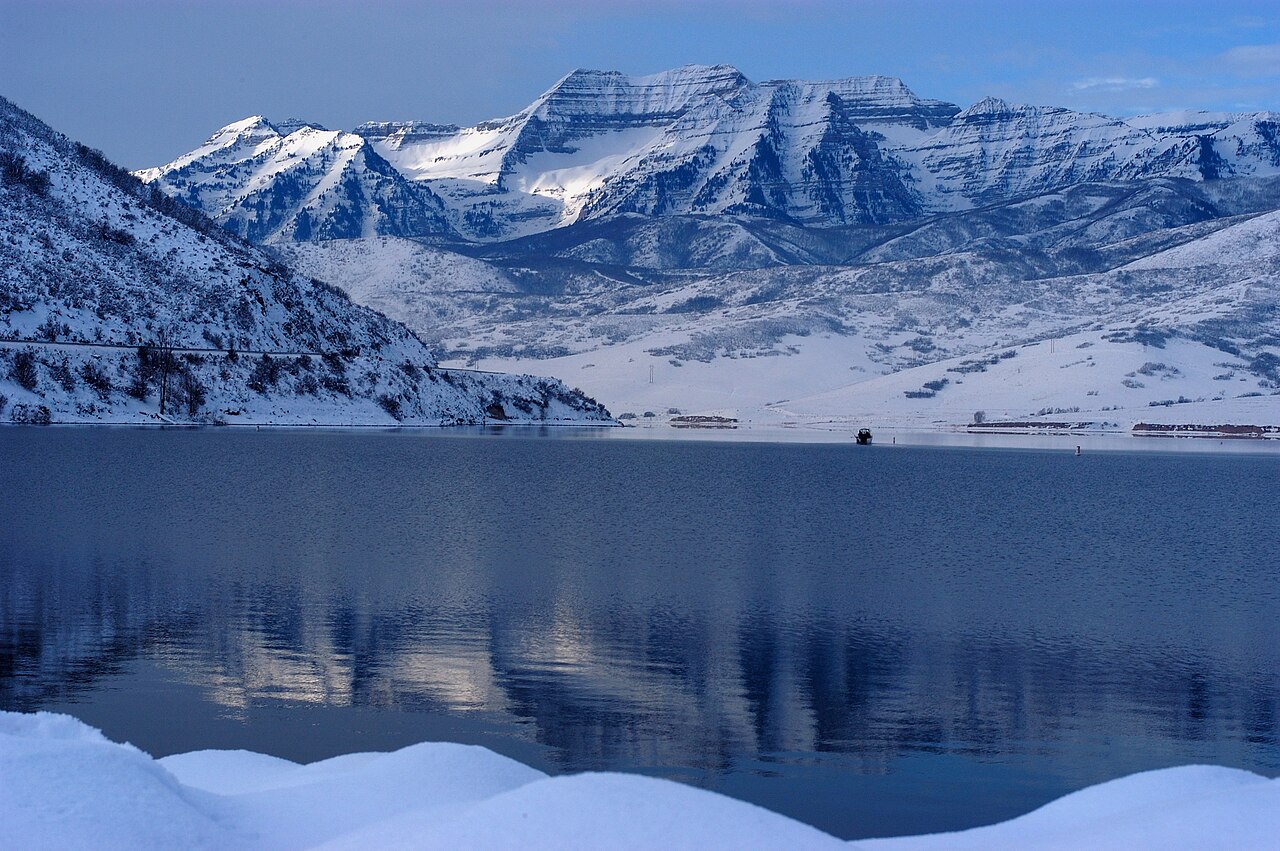
Deer Creek Reservoir
Deer Creek Reservoir is a 2,680-acre reservoir on the Provo River in Utah. The lake is in Wasatch County. It is managed by Utah…
Reservoir
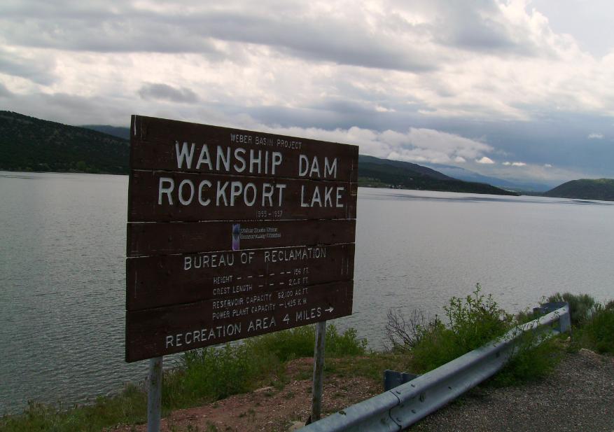
Rockport Reservoir
Rockport Reservoir is a 1,080-acre reservoir on the Weber River in Utah. Its shoreline falls inside Summit County. Utah State…
Reservoir1 beach
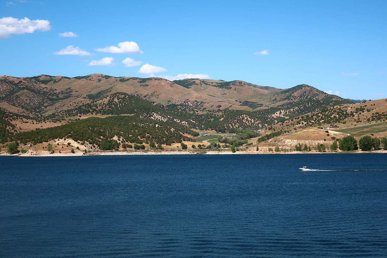
Echo Reservoir
Echo Reservoir is a 1,394-acre reservoir in Utah. You will find it in Summit County. It is managed by Utah State Parks…
Reservoir
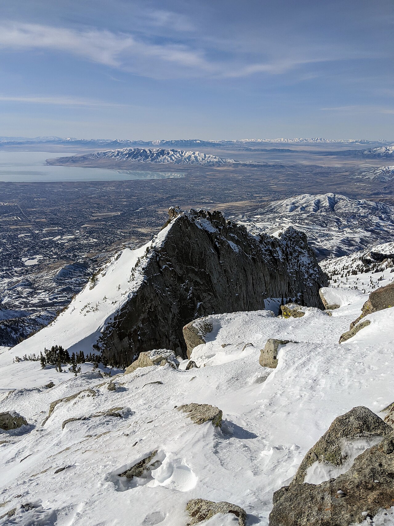
Utah Lake
Utah Lake covers about 96,000 acres in Utah. Its shoreline falls inside Utah County. Utah State Parks (Utah Lake State Park)…
Natural lake
Explore around Utah
Sources
Every figure on this page comes from one of these public sources.