
CountiesEllis County
TexasReservoirEllis County
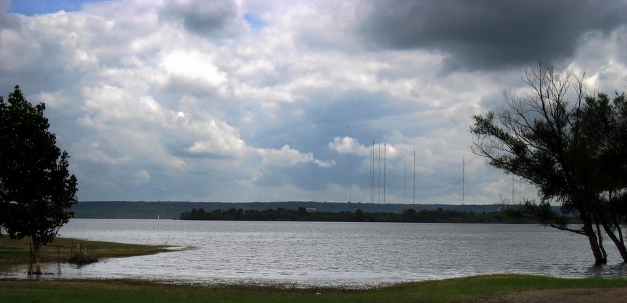
Lake Waxahachie
Lake Waxahachie is a reservoir of some 579 acres on the Waxahachie Creek South Prong Creek, in Texas. Its shoreline falls inside Ellis County. Management is in the hands of City of Waxahachie. The latest reading is 527.95 ft, 3.5 ft below the 531.5 ft full pool.
Water level today: 527.95 ft (80% full) · see the full record
Coordinates32.3408, -96.8233
Surface area579 acres
Max depth48 ft
Full pool531.5 ft
Capacity11,060 acre-ft
RiverWaxahachie Creek South Prong Creek
Managed byCity of Waxahachie
Swimming beaches on Lake Waxahachie
No named swimming beach is mapped yet for this lake. Access is through agency day-use areas and boat ramps listed below. We add beach pages only when we can confirm a name, coordinates and an operating agency.
Lake Waxahachie on the map
Lake center, swimming spots and access points.
Weather and water temperature
Air temperature and wind from Open-Meteo. Water temperature only when the lake has a public sensor.
Weather data by Open-Meteo
Water level today
Readings come from station 08063600 (Lk Waxahachie nr Waxahachie, TX). Conservation capacity is 11,060 acre-feet. That put the reservoir at 80% of its conservation capacity. The last value stored here, 527.95 ft, is from 2026-09-09. Over the record shown on the level page the gauge has moved between 527.81 ft and 532.31 ft (low on 2026-01-17, high on 2026-06-07). Full pool is 531.5 ft. Check the reading the morning you go if your plan depends on a specific ramp.
527.95 ft -0.44 ft in 7 days
Lake Waxahachie explained
Its coordinates are 32.3408, -96.8233. It lies at roughly 532 feet of elevation. It reaches roughly 48 feet at its deepest. Releases go downstream into the Waxahachie Creek South Prong Creek.
Readings come from station 08063600 (Lk Waxahachie nr Waxahachie, TX). Conservation capacity is 11,060 acre-feet. That put the reservoir at 80% of its conservation capacity. The last value stored here, 527.95 ft, is from 2026-09-09. Over the record shown on the level page the gauge has moved between 527.81 ft and 532.31 ft (low on 2026-01-17, high on 2026-06-07). Full pool is 531.5 ft. Check the reading the morning you go if your plan depends on a specific ramp.
If Lake Waxahachie is busy, the nearest alternatives here are Bardwell Lake (Texas, 11 mi), Joe Pool Lake (Texas, 22 mi) and Mountain Creek Lake (Texas, 27 mi). In all, 118 lakes in Texas are covered here.
No named swimming beach is mapped at Lake Waxahachie in the federal and state datasets this guide reads. Access is through whatever the operating agency provides on the ground, so check with them first. Where there is no marked beach, entry is usually from a boat ramp or an unimproved bank. Navarro Mills Lake, on Navarro Mills Lake, is the closest named beach in this guide, about 28 miles off.
Season dates vary by park; the operating agency publishes them each spring. There is no water temperature sensor here, so only air conditions are shown. Check the operating agency for advisories before any water contact, especially for blue-green algae in late summer.
Questions about Lake Waxahachie
Is there a beach at Lake Waxahachie?
No named swimming beach appears in the federal and state datasets this guide reads. Check the operating agency for day-use areas on the ground.
How big is Lake Waxahachie?
About 579 acres. Maximum depth is around 48 feet.
What other lakes are near Lake Waxahachie?
The closest in this guide is Bardwell Lake, about 11 miles away in Texas.
Lakes near Lake Waxahachie
Other lakes in this guide, ordered by distance.
Joe Pool Lake
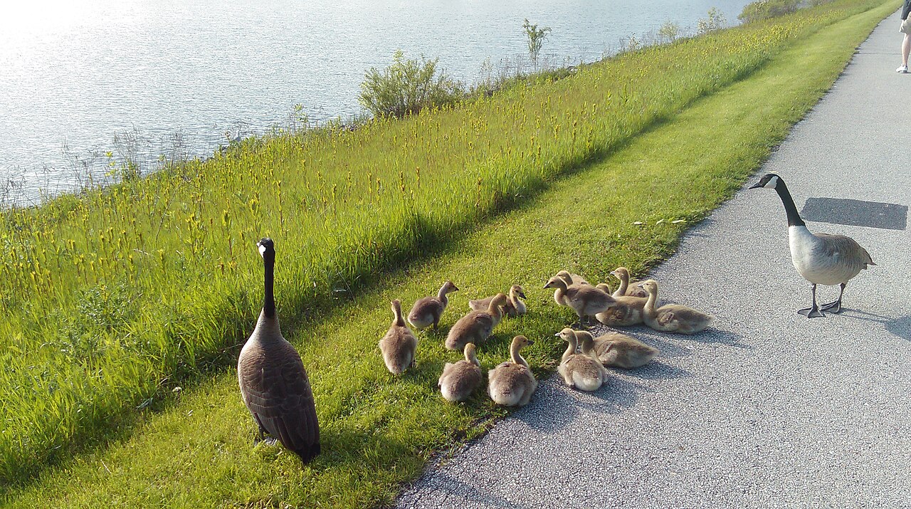
Joe Pool Lake is a 6,195-acre reservoir on the catchment = in Texas. You will find it in Dallas County. USACE Fort Worth District…
92% fullReservoir
Lake Arlington
At roughly 1,807 acres, Lake Arlington is one of the lakes covered in Texas. Its shoreline falls inside Tarrant County. It is…
74% fullReservoir
White Rock Lake
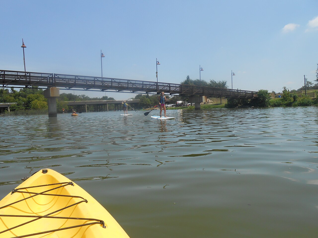
Fed by the White Rock Creek, White Rock Lake holds roughly 1,254 acres of water in Texas. Its shoreline falls inside Dallas…
Reservoir
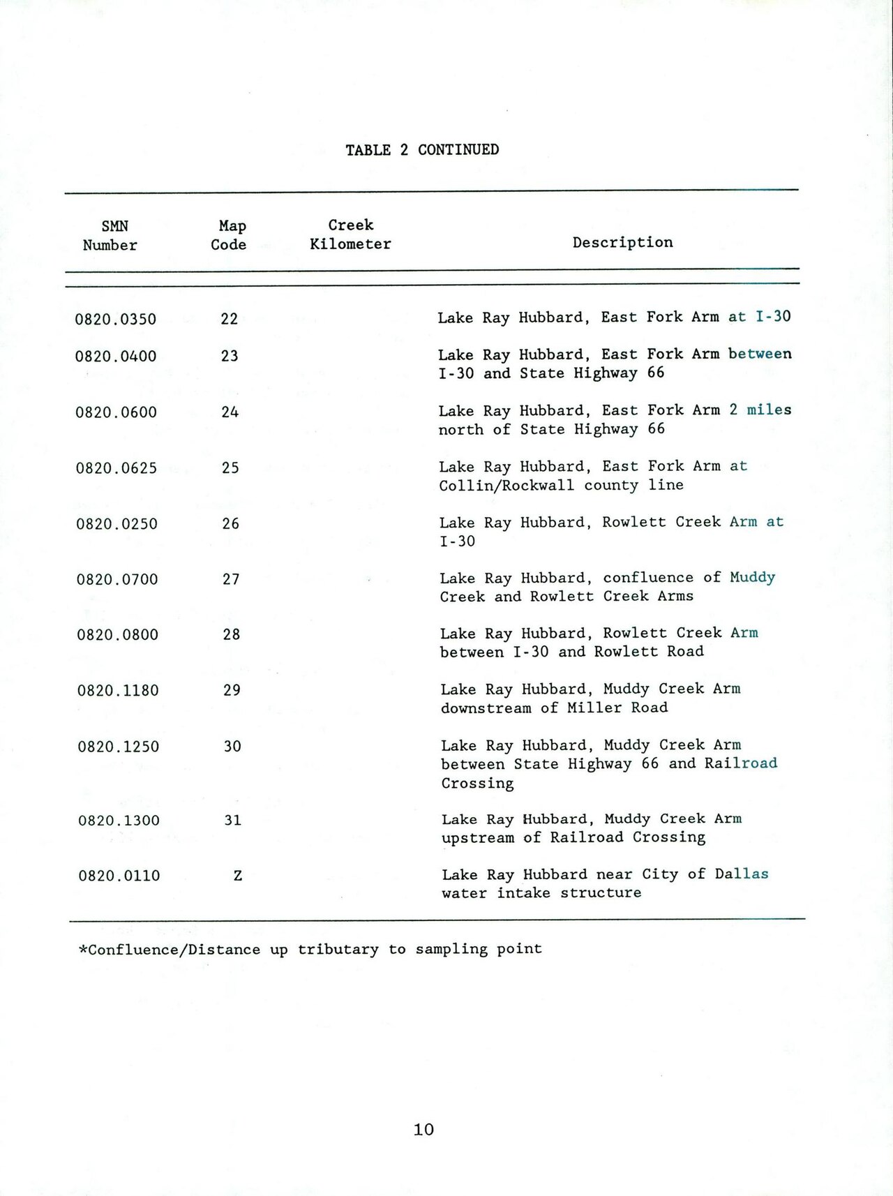
Lake Ray Hubbard
Lake Ray Hubbard is a reservoir of some 19,601 acres on the outflow =, in Texas. Its shoreline falls inside Kaufman County. It is…
87% fullReservoir
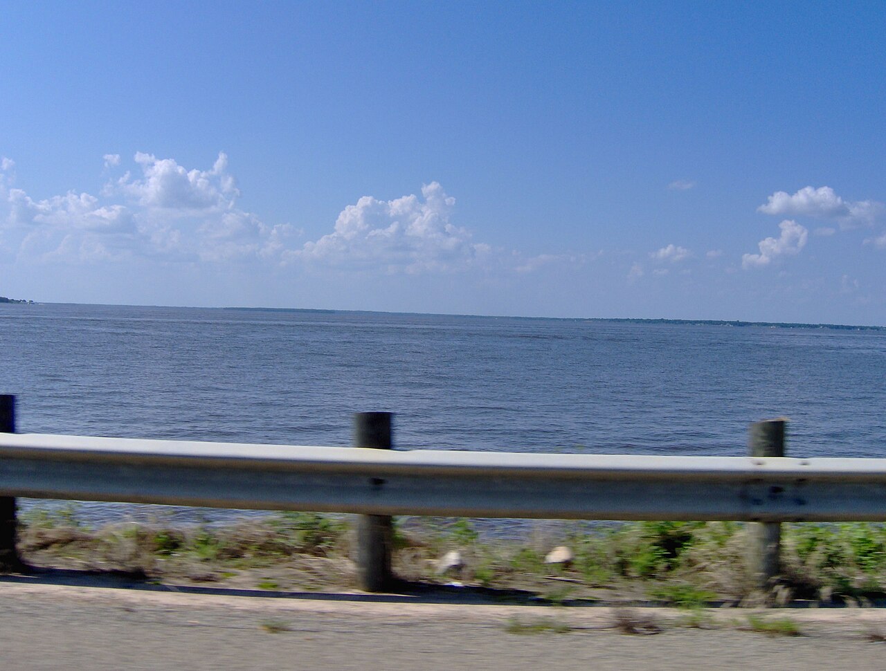
Cedar Creek Reservoir
Cedar Creek Reservoir is a 27,725-acre reservoir on the outflow = in Texas. Its shoreline falls inside Henderson County. Tarrant…
75% fullReservoir
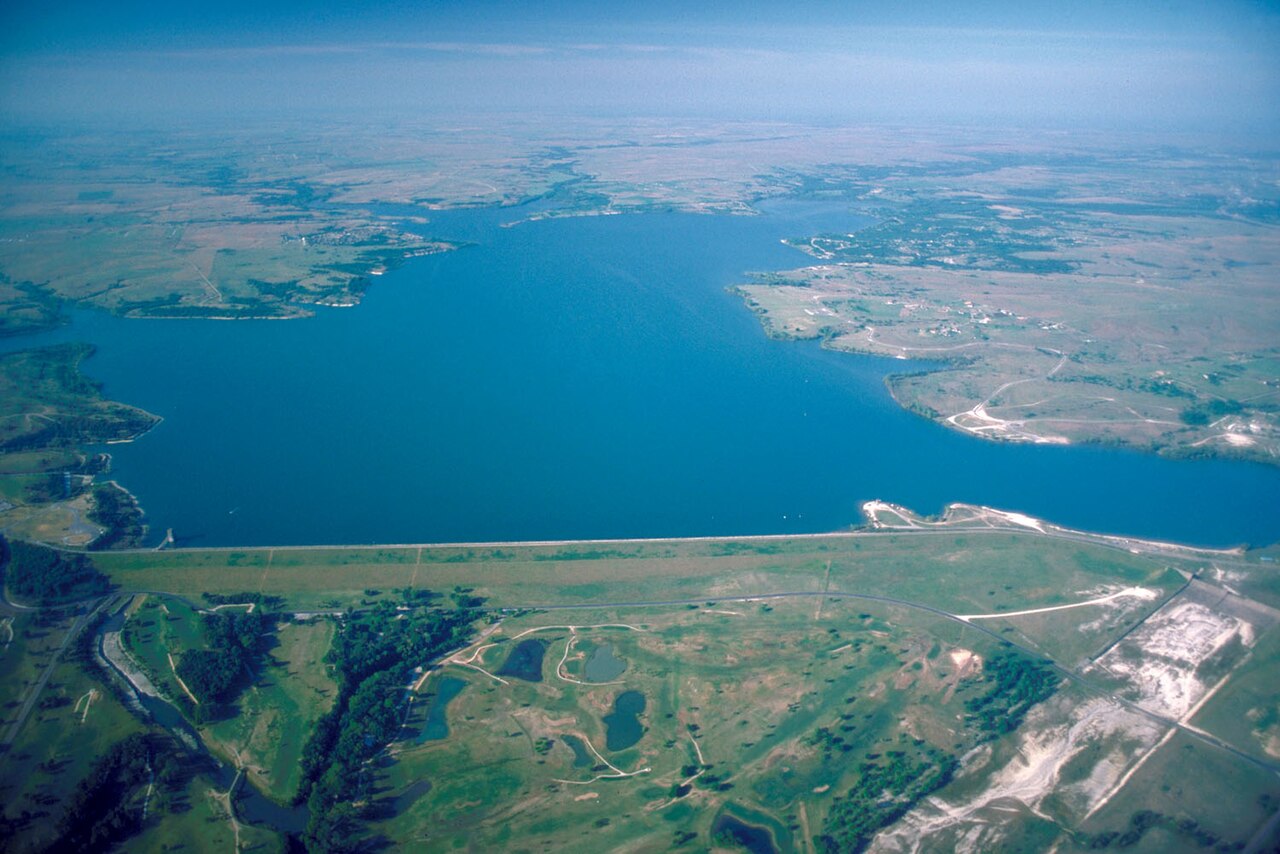
Benbrook Lake
Benbrook Lake is a reservoir of some 3,092 acres on the Clear Fork, Trinity River, in Texas. Its shoreline falls inside Tarrant…
77% fullReservoir
Explore around Texas
All lakes in Texas Swimming spots in Texas Lakes near Waxahachie Lakes near Ennis
Sources
Every figure on this page comes from one of these public sources.