
CountiesHenderson County
TexasReservoirHenderson County
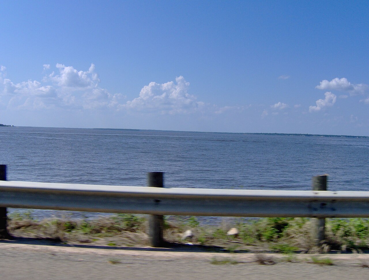
Cedar Creek Reservoir
Cedar Creek Reservoir is a 27,725-acre reservoir on the outflow = in Texas. Its shoreline falls inside Henderson County. Tarrant Regional Water District manages it. The latest reading is 316.68 ft, 5.3 ft below the 322.0 ft full pool.
Water level today: 316.68 ft (75% full) · see the full record
Coordinates32.3637, -96.1747
Surface area27,725 acres
Max depth62 ft
Full pool322.0 ft
Capacity644,686 acre-ft
Riveroutflow =
Managed byTarrant Regional Water District
Swimming beaches on Cedar Creek Reservoir
No named swimming beach is mapped yet for this lake. Access is through agency day-use areas and boat ramps listed below. We add beach pages only when we can confirm a name, coordinates and an operating agency.
Cedar Creek Reservoir on the map
Lake center, swimming spots and access points.
Weather and water temperature
Air temperature and wind from Open-Meteo. Water temperature only when the lake has a public sensor.
Weather data by Open-Meteo
Water level today
Readings come from station 08063010 (Cedar Ck Res nr Trinidad, TX). The last value stored here, 316.68 ft, is from 2026-09-09. That put the reservoir at 75% of its conservation capacity. Conservation capacity is 644,686 acre-feet. The agency sets full pool at 322.0 ft. Over the record shown on the level page the gauge has moved between 316.71 ft and 321.43 ft (low on 2026-09-08, high on 2025-08-05). Check the reading the morning you go if your plan depends on a specific ramp.
316.68 ft -0.15 ft in 7 days
Cedar Creek Reservoir explained
Its coordinates are 32.3637, -96.1747. The deepest point on record is about 62 feet. Releases go downstream into the outflow =.
Cedar Creek Reservoir has no catalogued swimming beach in the sources we read, so plan around the managing agency's own facilities. Screech Owl Reach, on Lake Tawakoni, is the closest named beach in this guide, about 37 miles off. A missing beach entry often just means nobody has catalogued the access point yet.
Swimming season in Texas runs through the warm months, and day-use areas set their own opening dates. No public sensor reports water temperature at Cedar Creek Reservoir, so the panel shows air temperature and wind. Inland lakes are not monitored the way ocean beaches are, so posted signs matter more here.
Readings come from station 08063010 (Cedar Ck Res nr Trinidad, TX). The last value stored here, 316.68 ft, is from 2026-09-09. That put the reservoir at 75% of its conservation capacity. Conservation capacity is 644,686 acre-feet. The agency sets full pool at 322.0 ft. Over the record shown on the level page the gauge has moved between 316.71 ft and 321.43 ft (low on 2026-09-08, high on 2025-08-05). Check the reading the morning you go if your plan depends on a specific ramp.
If Cedar Creek Reservoir is busy, the nearest alternatives here are Lake Halbert (Texas, 24 mi), New Terrell City Lake (Texas, 26 mi) and Lake Athens (Texas, 27 mi). In all, 118 lakes in Texas are covered here.
Questions about Cedar Creek Reservoir
Is there a beach at Cedar Creek Reservoir?
No named swimming beach appears in the federal and state datasets this guide reads. Check the operating agency for day-use areas on the ground.
How big is Cedar Creek Reservoir?
About 27,725 acres. Maximum depth is around 62 feet.
What other lakes are near Cedar Creek Reservoir?
The closest in this guide is Lake Halbert, about 24 miles away in Texas.
Lakes near Cedar Creek Reservoir
Other lakes in this guide, ordered by distance.
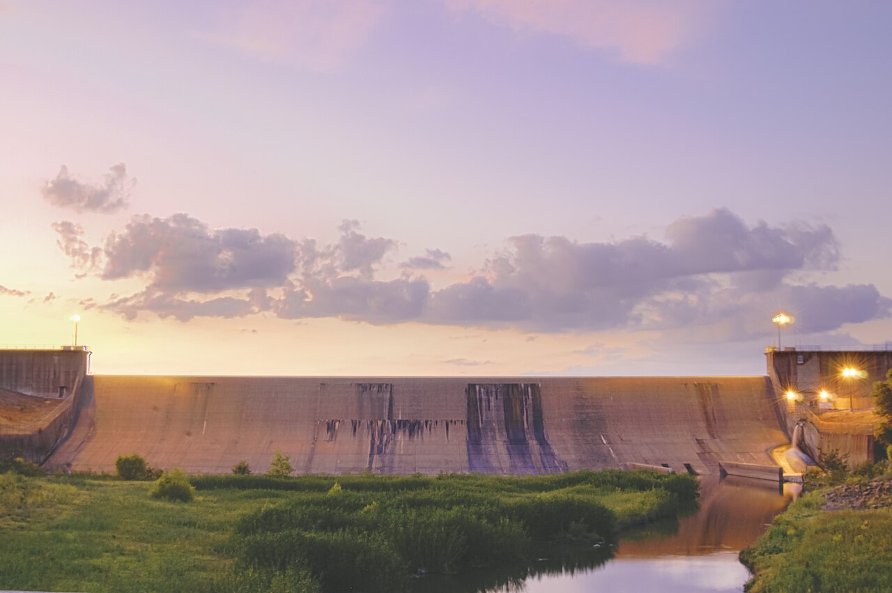
Lake Tawakoni
Lake Tawakoni is a reservoir of some 35,401 acres on the Sabine River, in Texas. Its shoreline falls inside Hunt County. Sabine…
93% fullReservoir1 beach
Lake Ray Hubbard
Lake Ray Hubbard is a reservoir of some 19,601 acres on the outflow =, in Texas. Its shoreline falls inside Kaufman County. It is…
87% fullReservoir
Lake Waxahachie
Lake Waxahachie is a reservoir of some 579 acres on the Waxahachie Creek South Prong Creek, in Texas. Its shoreline falls inside…
80% fullReservoir
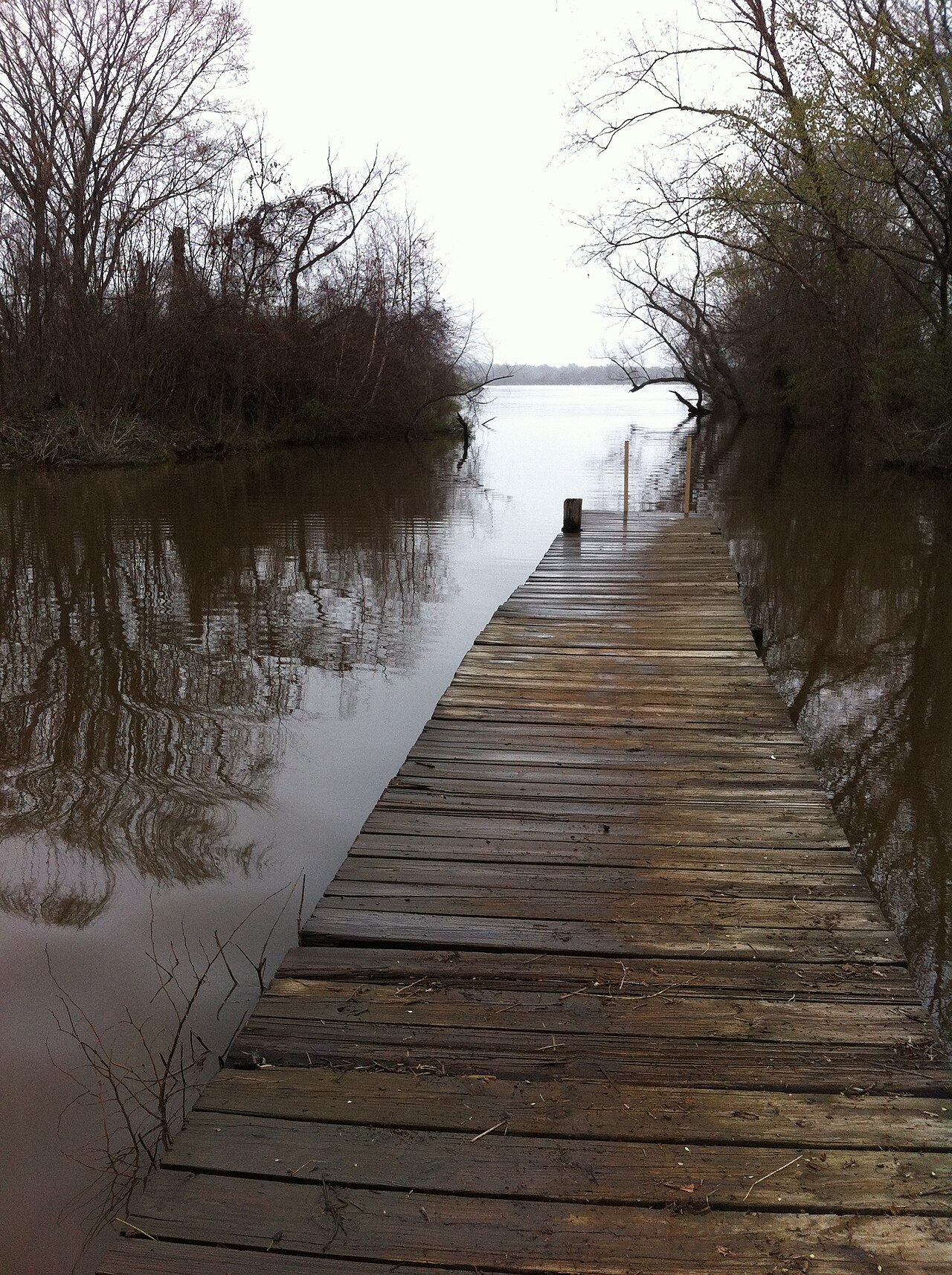
Lake Palestine
Fed by the location = Texas, United States, Lake Palestine holds roughly 21,905 acres of water in Texas. You will find it in…
92% fullReservoir
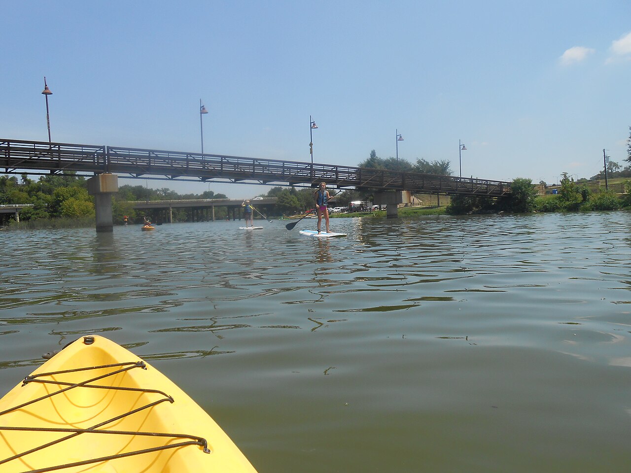
White Rock Lake
Fed by the White Rock Creek, White Rock Lake holds roughly 1,254 acres of water in Texas. Its shoreline falls inside Dallas…
Reservoir
Lake Fork Reservoir
Fed by the Lake Fork Creek, Lake Fork Reservoir holds roughly 23,630 acres of water in Texas. It lies in Wood County. Sabine…
83% fullReservoir
Explore around Texas
All lakes in Texas Swimming spots in Texas Lakes near Athens Lakes near Ennis
Sources
Every figure on this page comes from one of these public sources.