
CountiesMcLennan County
TexasReservoirMcLennan County
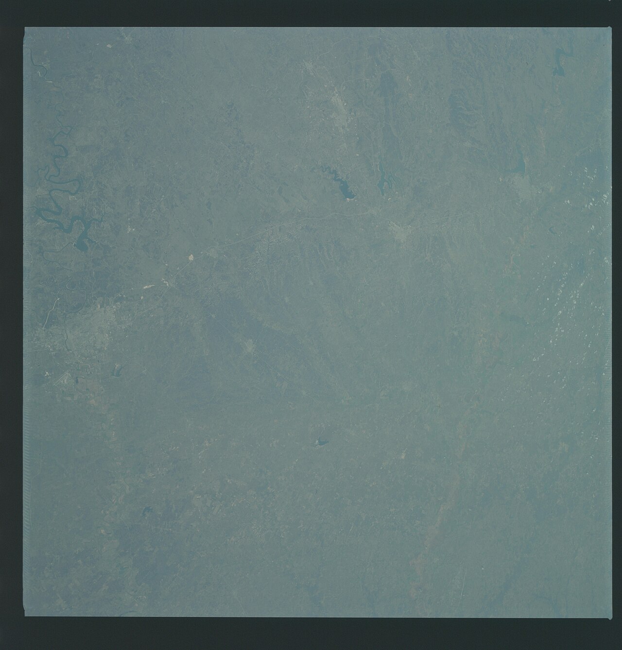
Lake Waco
Lake Waco is a reservoir of some 7,985 acres on the Bosque River, in Texas. It lies in McLennan County. Management is in the hands of USACE Fort Worth District. The latest reading is 459.52 ft, 2.7 ft below the 462.2 ft full pool.
Water level today: 459.52 ft (89% full) · see the full record
Coordinates31.5531, -97.2231
Surface area7,985 acres
Max depth85 ft
Full pool462.2 ft
Capacity188,891 acre-ft
RiverBosque River
Managed byUSACE Fort Worth District
Swimming beaches on Lake Waco
No named swimming beach is mapped yet for this lake. Access is through agency day-use areas and boat ramps listed below. We add beach pages only when we can confirm a name, coordinates and an operating agency.
Lake Waco on the map
Lake center, swimming spots and access points.
Weather and water temperature
Air temperature and wind from Open-Meteo. Water temperature only when the lake has a public sensor.
Weather data by Open-Meteo
Water level today
Station 08095550, Waco Lk nr Waco, TX, publishes the water surface elevation used here. The conservation pool tops out at 462.2 ft. The top of the dam sits at 510.0 ft. The Corps of Engineers puts the top of the flood pool at 500.0 ft. Conservation capacity is 188,891 acre-feet. That put the reservoir at 89% of its conservation capacity. The last value stored here, 459.52 ft, is from 2026-09-09. Water level decides what is usable on the shoreline, from beach width to ramp access.
459.52 ft trend not available
Visiting Lake Waco
The center of the lake is at 31.5531, -97.2231. Outflow feeds the Bosque River. It reaches roughly 85 feet at its deepest.
If Lake Waco is busy, the nearest alternatives here are Lake Whitney (Texas, 23 mi), Aquilla Lake (Texas, 25 mi) and Belton Lake (Texas, 34 mi). Texas has 118 lakes on this site in total.
Water temperature is not measured at this lake by any public agency we read. Swimming season in Texas runs through the warm months, and day-use areas set their own opening dates. If the water looks like pea soup or paint, stay out and report it to the managing agency.
Public access at Lake Waco covers 12 public recreation areas. Recreation areas nearby include Koehne Park, Speegleville Campground and Ridgewood Country Club. None is staffed by a lifeguard unless the managing agency posts one.
Station 08095550, Waco Lk nr Waco, TX, publishes the water surface elevation used here. The conservation pool tops out at 462.2 ft. The top of the dam sits at 510.0 ft. The Corps of Engineers puts the top of the flood pool at 500.0 ft. Conservation capacity is 188,891 acre-feet. That put the reservoir at 89% of its conservation capacity. The last value stored here, 459.52 ft, is from 2026-09-09. Water level decides what is usable on the shoreline, from beach width to ramp access.
Recreation areas on Lake Waco
12 public recreation areas mapped around the lake by the U.S. Army Corps of Engineers. Facilities vary by area; check the managing office for opening dates and fees.
Koehne Park Speegleville Campground Ridgewood Country Club HOT Model Aircraft Complex Outgrant -proposed Midway Park Twin Bridges Day Use Area Woodway Park Bosque Park Lacy Point Access Area Reynolds Creek Park H.O.T. Soccer Complex Flatrock Access
Source: USACE Recreation Areas
Questions about Lake Waco
Is there a beach at Lake Waco?
No named swimming beach appears in the federal and state datasets this guide reads. Check the operating agency for day-use areas on the ground.
How big is Lake Waco?
About 7,985 acres. Maximum depth is around 85 feet.
What other lakes are near Lake Waco?
The closest in this guide is Lake Whitney, about 23 miles away in Texas.
Lakes near Lake Waco
Other lakes in this guide, ordered by distance.
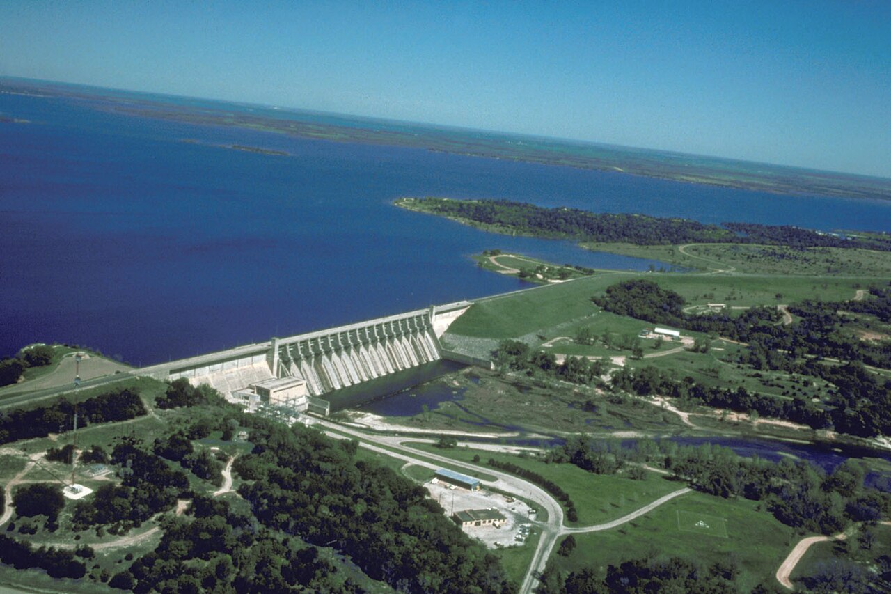
Lake Whitney
Fed by the Brazos River, Lake Whitney holds roughly 21,706 acres of water in Texas. You will find it in Hill County. Management…
93% fullReservoir
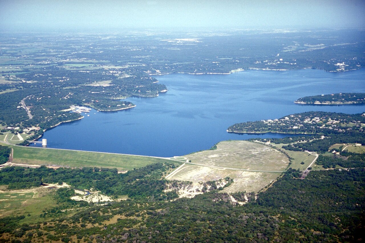
Belton Lake
Belton Lake is a 12,177-acre reservoir on the Leon River in Texas. The lake is in Bell County. USACE Fort Worth District manages…
97% fullReservoir
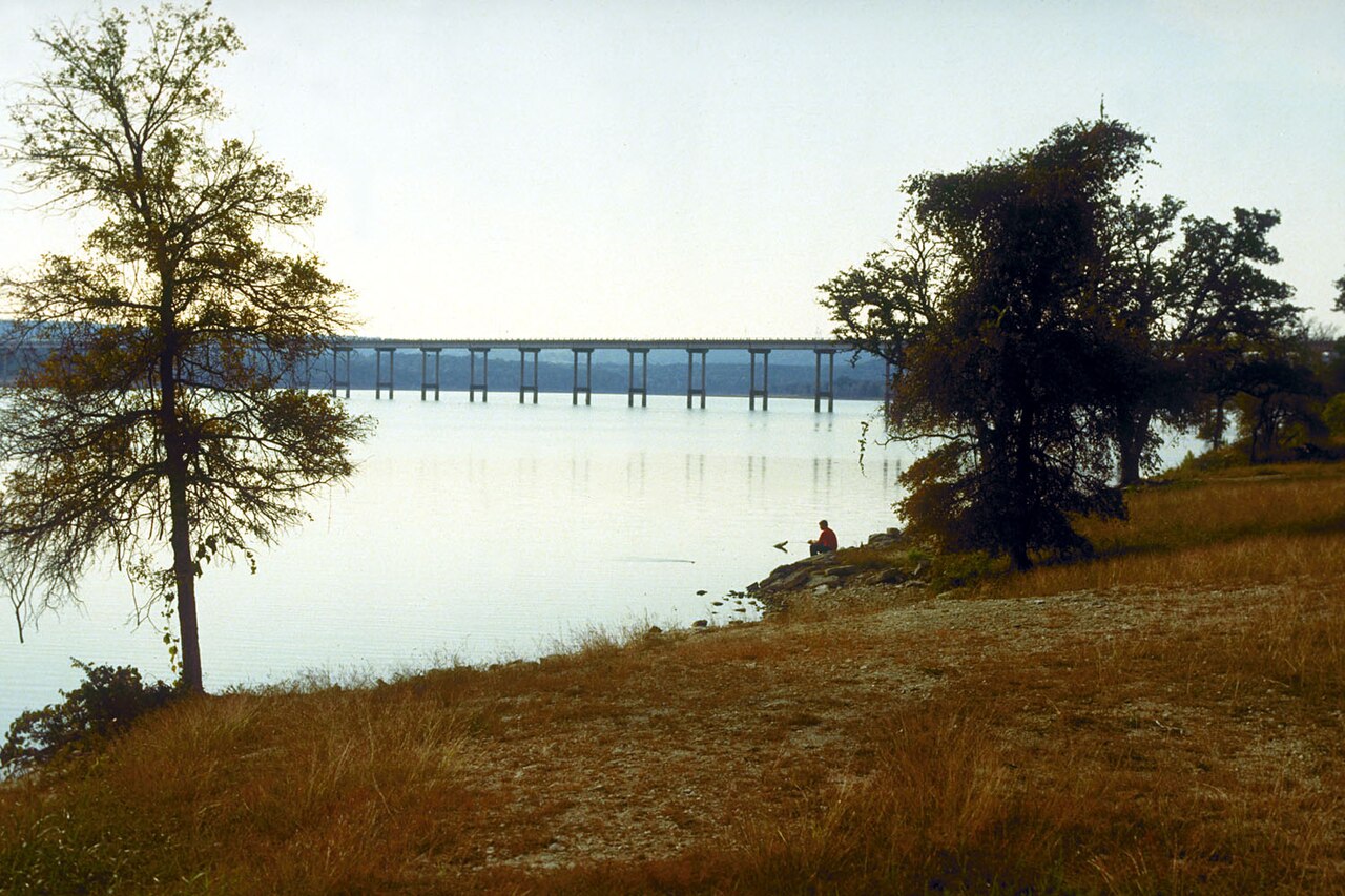
Stillhouse Hollow Lake
Stillhouse Hollow Lake covers about 6,331 acres of the Lampasas River in Texas. You will find it in Bell County. USACE Fort Worth…
98% fullReservoir
Lake Limestone
Lake Limestone covers about 11,705 acres of the catchment = in Texas. The lake is in Leon County. It is managed by Brazos River…
89% fullReservoir
Granger Lake
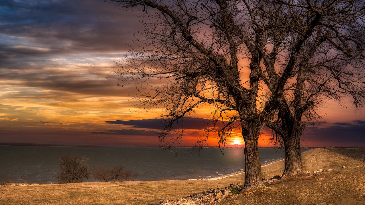
Granger Lake is a reservoir of some 4,064 acres on the San Gabriel River, in Texas. Its shoreline falls inside Williamson County.…
100% fullReservoir
Lake Waxahachie
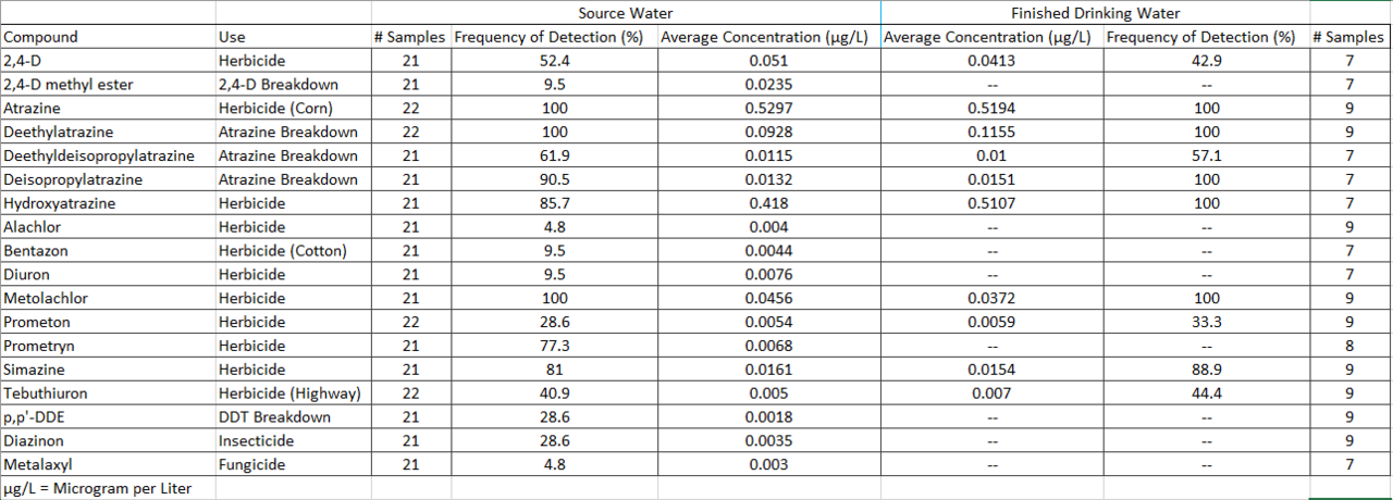
Lake Waxahachie is a reservoir of some 579 acres on the Waxahachie Creek South Prong Creek, in Texas. Its shoreline falls inside…
80% fullReservoir
Explore around Texas
All lakes in Texas Swimming spots in Texas Lakes near Temple
Sources
Every figure on this page comes from one of these public sources.