
CountiesIredell County
North CarolinaReservoirIredell County
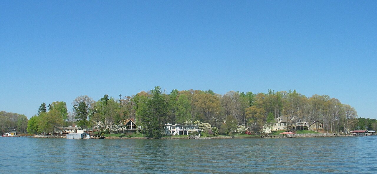
Lake Norman
Lake Norman covers about 32,510 acres of the Catawba River via Cowans Ford Dam in North Carolina. It lies in Iredell County. Management is in the hands of Duke Energy.
Coordinates35.4833, -80.9333
Surface area32,510 acres
Max depth112 ft
RiverCatawba River via Cowans Ford Dam
Managed byDuke Energy
Swimming beaches on Lake Norman
No named swimming beach is mapped yet for this lake. Access is through agency day-use areas and boat ramps listed below. We add beach pages only when we can confirm a name, coordinates and an operating agency.
Lake Norman on the map
Lake center, swimming spots and access points.
Weather and water temperature
Air temperature and wind from Open-Meteo. Water temperature only when the lake has a public sensor.
Weather data by Open-Meteo
What to know before you go to Lake Norman
Lake Norman sits at 35.4833, -80.9333. Surface elevation is about 760 feet. Maximum depth is around 112 feet. The Catawba River via Cowans Ford Dam carries the outflow.
The closest lakes in this guide are Mountain Island Lake (North Carolina, 8 mi), Lookout Shoals Lake (North Carolina, 21 mi) and Lake Hickory (North Carolina, 28 mi). In all, 29 lakes in North Carolina are covered here.
Inland lakes are not monitored the way ocean beaches are, so posted signs matter more here. There is no water temperature sensor here, so only air conditions are shown. Swimming season in North Carolina runs through the warm months, and day-use areas set their own opening dates.
The nearest mapped swimming spot is Grandfather Ranger District on Lake James, roughly 57 miles away. Many smaller lakes have no designated beach at all, only informal shoreline access. No agency lists a named swimming spot at Lake Norman. Shoreline access here is likely informal.
No public gauge reports the water level at Lake Norman, so this page shows no level chart. We would rather leave the figure out than publish an estimate that nobody measured. For a lake this size, the park office is the fastest way to learn how the water sits today.
Questions about Lake Norman
Is there a beach at Lake Norman?
No named swimming beach appears in the federal and state datasets this guide reads. Check the operating agency for day-use areas on the ground.
How big is Lake Norman?
About 32,510 acres. Maximum depth is around 112 feet.
What other lakes are near Lake Norman?
The closest in this guide is Mountain Island Lake, about 8 miles away in North Carolina.
Lakes near Lake Norman
Other lakes in this guide, ordered by distance.
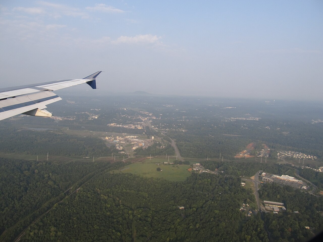
Mountain Island Lake
Mountain Island Lake is a reservoir of some 3,281 acres on the catchment =, in North Carolina. You will find it in Gaston County.…
Reservoir

Lake Hickory
Lake Hickory covers about 19,201 acres in North Carolina. The lake is in Catawba County. Duke Energy / City of Hickory manages it.
Reservoir
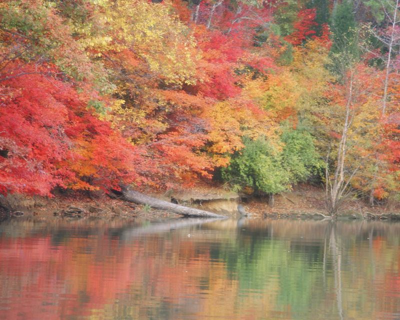
Lake Wylie
Lake Wylie is a 13,344-acre reservoir on the Catawba River in South Carolina. Duke Energy / Lake Wylie Marine Commission manages…
Reservoir
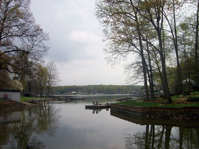
High Rock Lake
High Rock Lake is a reservoir of some 15,180 acres on the Yadkin River, in North Carolina. It lies in Rowan County. Cube Yadkin…
Reservoir
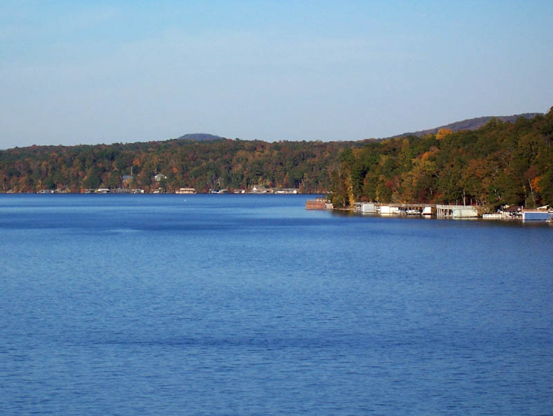
Lake Tillery
Fed by the Pee Dee River, Lake Tillery holds roughly 5,000 acres of water in North Carolina. Its shoreline falls inside…
Reservoir
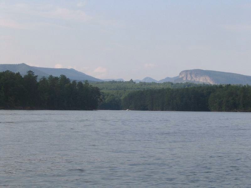
Lake James
Lake James covers about 6,820 acres of the Catawba River in North Carolina. It lies in McDowell County. It is managed by Duke…
Reservoir1 beach
Explore around North Carolina
All lakes in North Carolina Lakes near Cornelius Lakes near Davidson
Sources
Every figure on this page comes from one of these public sources.