
Coordinates36.1569, -86.6175
TennesseeReservoir
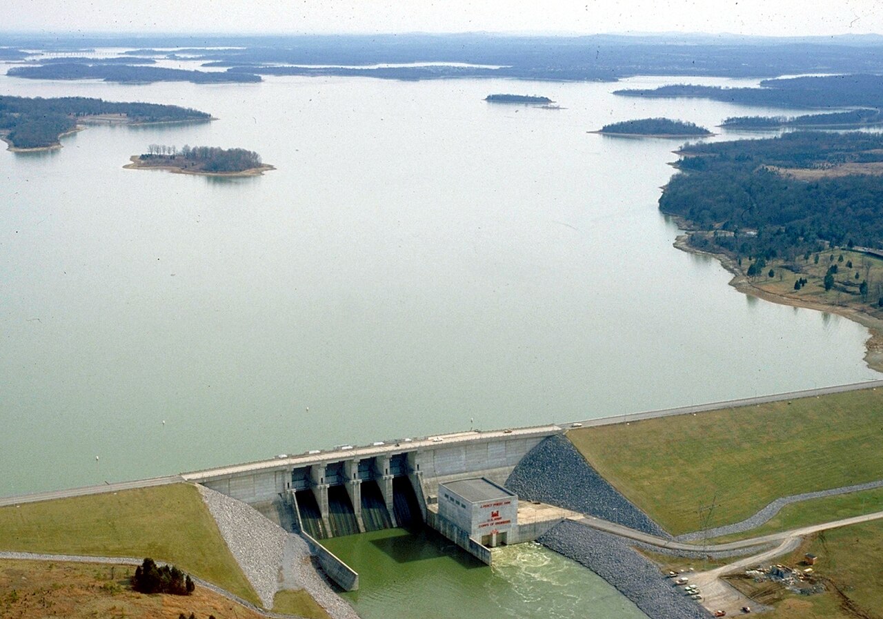
Percy Priest Lake
Percy Priest Lake is a reservoir of some 14,200 acres on the Stones River, in Tennessee. It is managed by USACE Nashville District. This guide maps 4 named swimming spots around its shoreline.
Surface area14,200 acres
Max depth100 ft
RiverStones River
Completed1967
Managed byUSACE Nashville District
Swimming beaches on Percy Priest Lake
4 named swimming spots and shoreline access points, from USGS GNIS, Recreation.gov and the Forest Service. None is staffed by a lifeguard unless the operating agency posts one.
Percy Priest Lake on the map
Lake center, swimming spots and access points.
Weather and water temperature
Air temperature and wind from Open-Meteo. Water temperature only when the lake has a public sensor.
Weather data by Open-Meteo
Planning a day at Percy Priest Lake
Percy Priest Lake sits at 36.1569, -86.6175. The reservoir dates from 1967. Outflow feeds the Stones River. It reaches roughly 100 feet at its deepest. It lies at roughly 490 feet of elevation.
Season dates vary by park; the operating agency publishes them each spring. There is no water temperature sensor here, so only air conditions are shown. If the water looks like pea soup or paint, stay out and report it to the managing agency.
Percy Priest Lake has no public water level gauge that we can read, so there is no level chart here. An invented number would be worse than none. For a lake this size, the park office is the fastest way to learn how the water sits today.
Public access at Percy Priest Lake covers 4 named swimming spots and 20 public recreation areas. These come from Recreation.gov (RIDB) and wikidata. Recreation areas nearby include Visitors Center Park, Elm Hill and Cook. They include J Percy Priest Lake, Nashville Shores and Long Island Beach. None is staffed by a lifeguard unless the managing agency posts one.
Nearby water includes Old Hickory Lake (Tennessee, 13 mi), Cheatham Lake (Tennessee, 36 mi) and Cordell Hull Lake (Tennessee, 39 mi). Tennessee has 25 lakes on this site in total.
Recreation areas on Percy Priest Lake
20 public recreation areas mapped around the lake by the U.S. Army Corps of Engineers. Facilities vary by area; check the managing office for opening dates and fees.
Visitors Center Park Elm Hill Cook Seven Points Hamilton Creek Anderson Road Vivrett Creek Smith Springs Long Hunter State Park Joe C Davis Outdoor Center Shelby Park Saunders Ferry Park Shutes Branch Day Use Area Walton Ferry Four Corners Hurricane Creek Environmental Study Area Riverfront Park
Source: USACE Recreation Areas
Questions about Percy Priest Lake
Can you swim in Percy Priest Lake?
Yes. This guide maps 4 named swimming spots around the lake, including J Percy Priest Lake and Nashville Shores. None is staffed by a lifeguard unless the operating agency posts one.
How big is Percy Priest Lake?
About 14,200 acres. Maximum depth is around 100 feet.
What other lakes are near Percy Priest Lake?
The closest in this guide is Old Hickory Lake, about 13 miles away in Tennessee.
Lakes near Percy Priest Lake
Other lakes in this guide, ordered by distance.
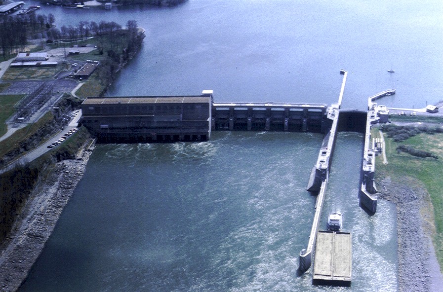
Old Hickory Lake
Fed by the Cumberland River, Old Hickory Lake holds roughly 22,500 acres of water in Tennessee. It lies in Sumner County. It is…
Reservoir
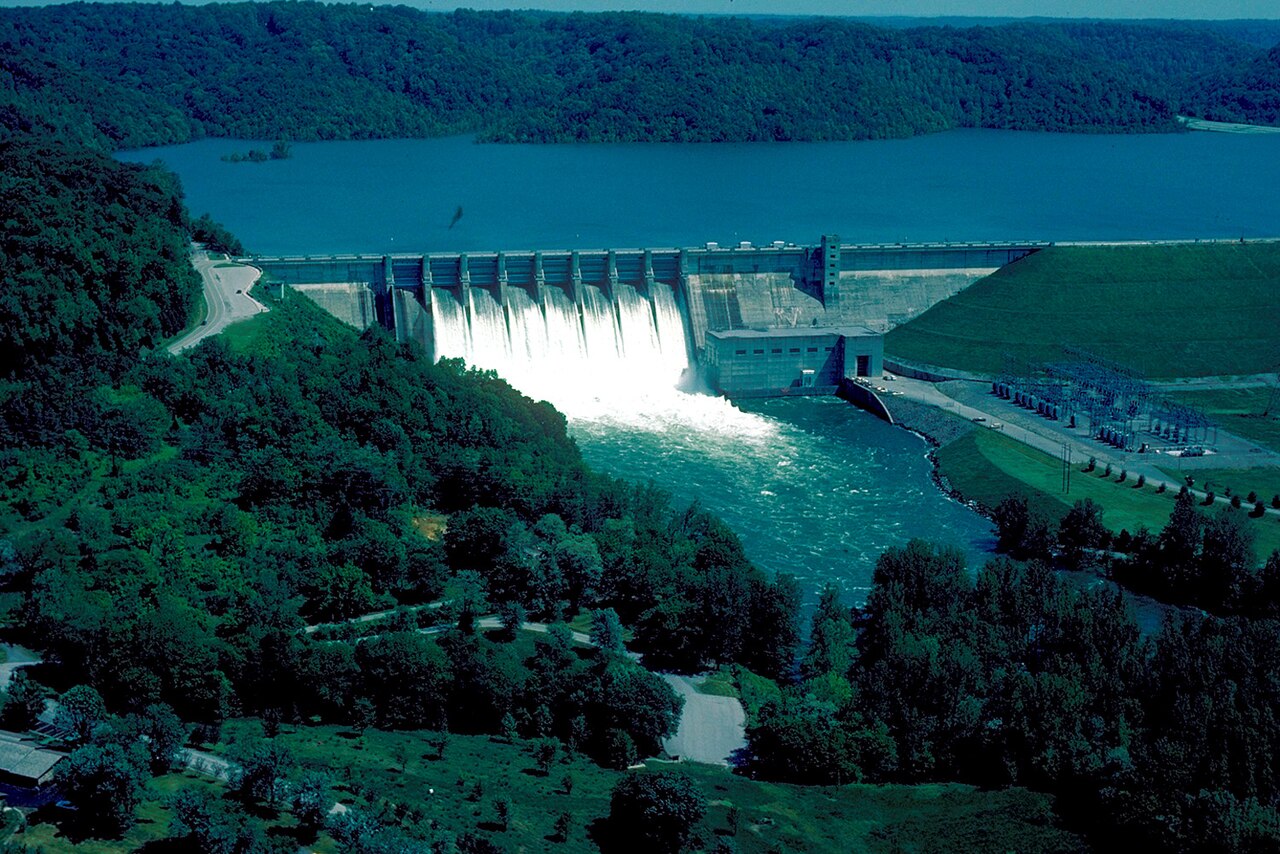
Center Hill Lake
Fed by the catchment =, Center Hill Lake holds roughly 18,220 acres of water in Tennessee. Management is in the hands of USACE.
Reservoir
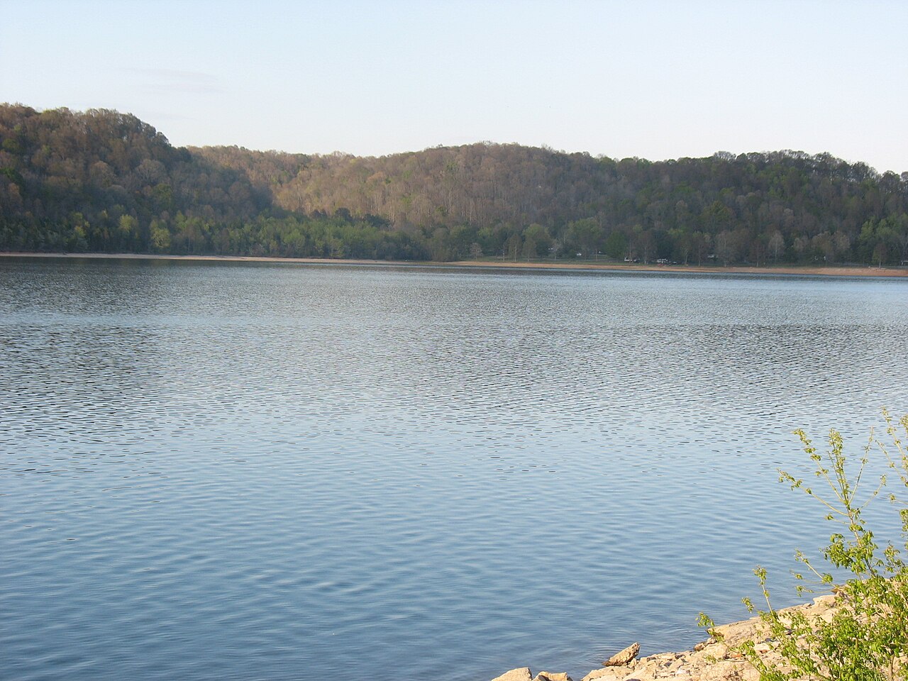
Normandy Lake
Fed by the Duck River, Normandy Lake holds roughly 3,230 acres of water in Tennessee. The lake is in Coffee County. Tennessee…
Reservoir
Barren River Lake
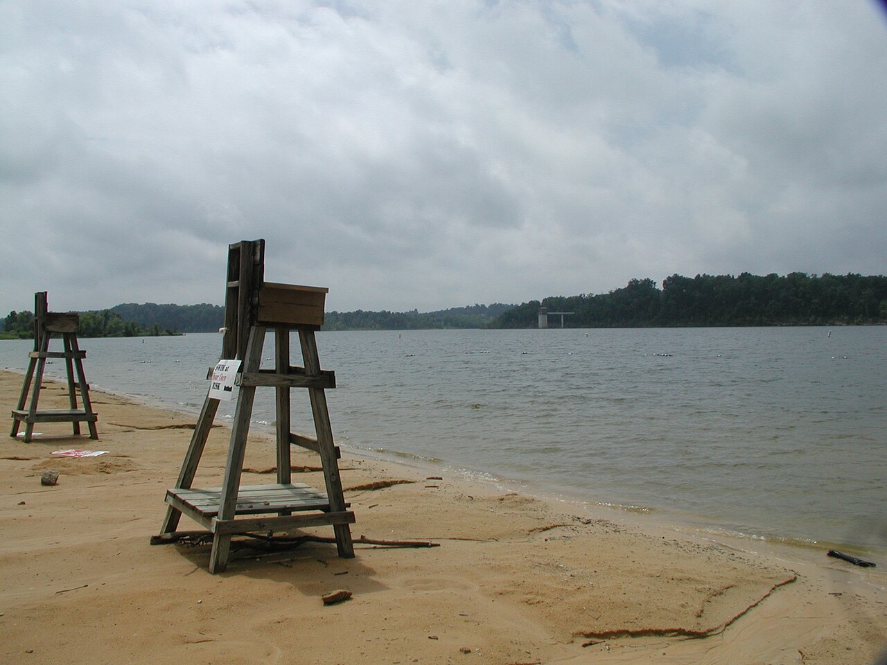
Barren River Lake covers about 10,100 acres of the Barren River in Kentucky. The lake is in Allen County. It is managed by USACE…
Reservoir
Tims Ford Lake
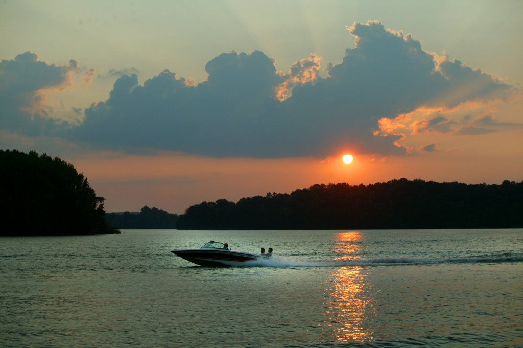
Tims Ford Lake is a 10,700-acre reservoir on the Elk River in Tennessee. It lies in Franklin County. TVA manages it.
Reservoir
Dale Hollow Lake
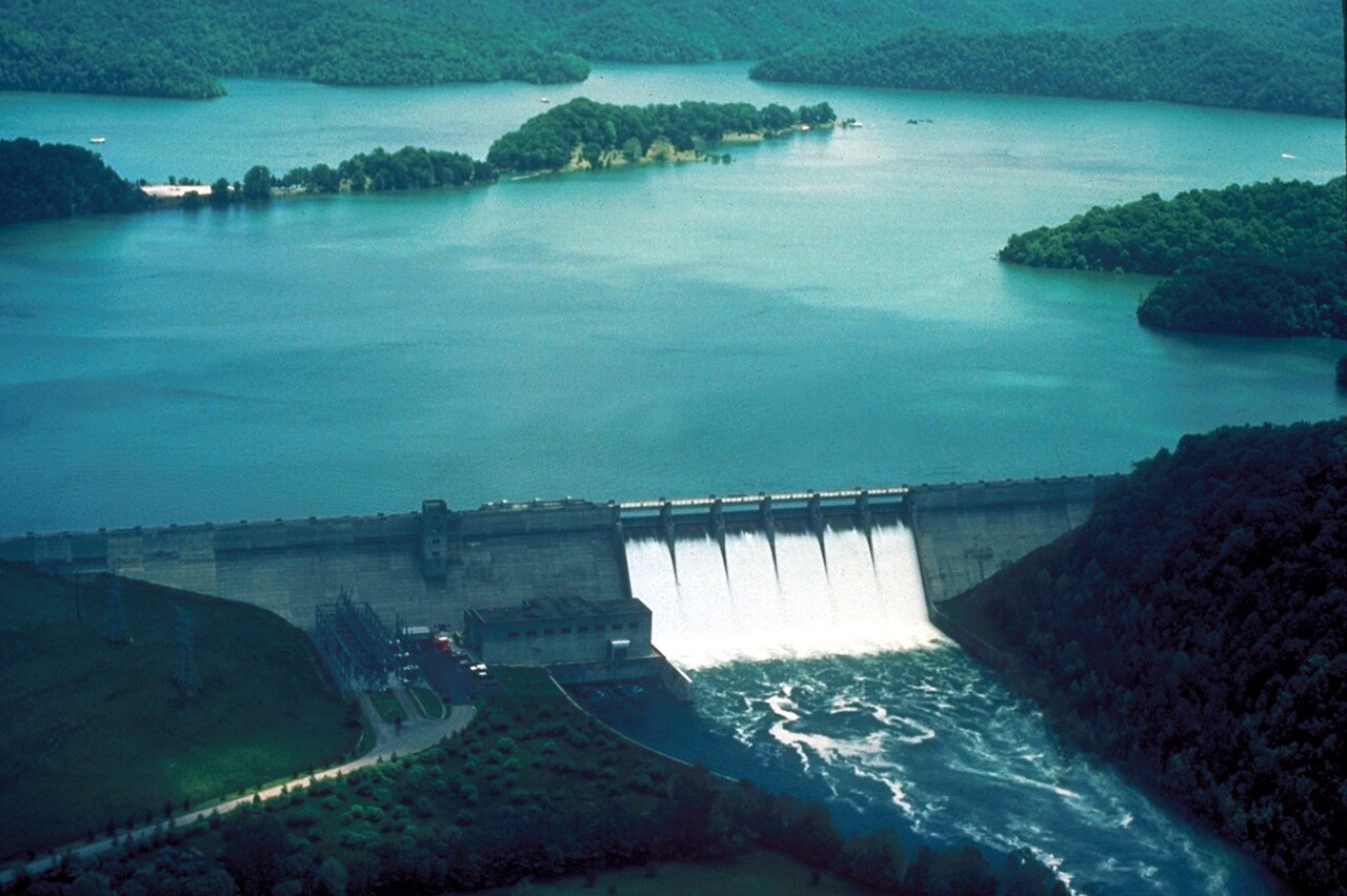
Dale Hollow Lake covers about 30,990 acres of the outflow = in Tennessee. The lake is in Clay County. Management is in the hands…
Reservoir
Explore around Tennessee
All lakes in Tennessee Swimming spots in Tennessee Lakes near Mount Juliet Lakes near Nashville-Davidson metropolitan government
Sources
Every figure on this page comes from one of these public sources.