
CountiesClay County
TennesseeReservoirClay County
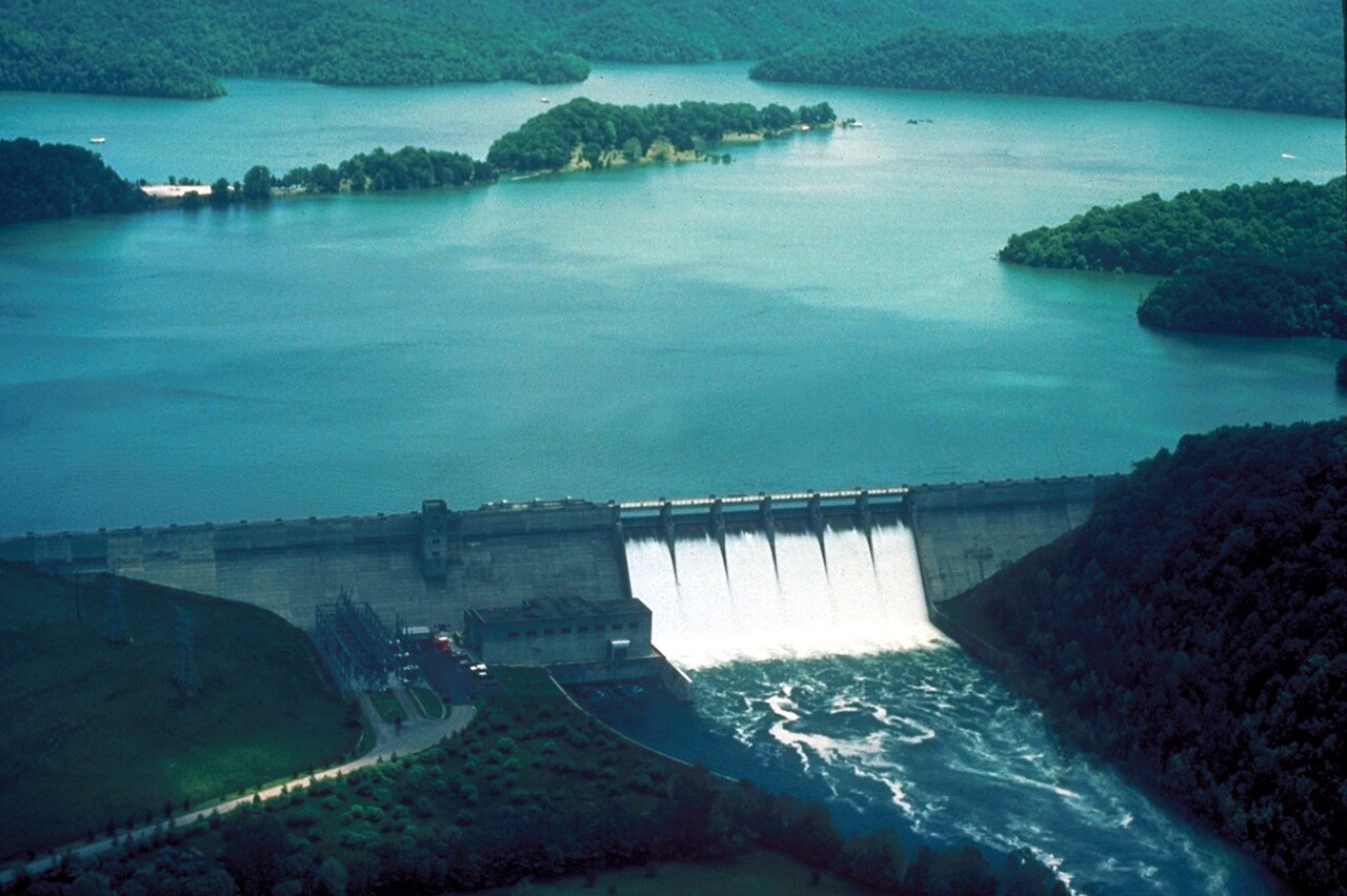
Dale Hollow Lake
Dale Hollow Lake covers about 30,990 acres of the outflow = in Tennessee. The lake is in Clay County. Management is in the hands of USACE Nashville District / TN State Parks / KY State Parks.
Coordinates36.5367, -85.4516
Surface area30,990 acres
Riveroutflow =
Managed byUSACE Nashville District / TN State Parks / KY State Parks
Swimming beaches on Dale Hollow Lake
No named swimming beach is mapped yet for this lake. Access is through agency day-use areas and boat ramps listed below. We add beach pages only when we can confirm a name, coordinates and an operating agency.
Dale Hollow Lake on the map
Lake center, swimming spots and access points.
Weather and water temperature
Air temperature and wind from Open-Meteo. Water temperature only when the lake has a public sensor.
Weather data by Open-Meteo
Dale Hollow Lake at a glance
On the map, Dale Hollow Lake is centered near 36.5367, -85.4516. It lies at roughly 663 feet of elevation. Releases go downstream into the outflow =.
Dale Hollow Lake has no public water level gauge that we can read, so there is no level chart here. An invented number would be worse than none. For a lake this size, the park office is the fastest way to learn how the water sits today.
Public access at Dale Hollow Lake covers 18 public recreation areas and 1 boat ramp. Launch points include Butlers Landing.. Recreation areas nearby include Pleasant Grove, Moody'S Place and Donaldson Park. Facilities vary from one access point to the next, so check before you rely on one.
If Dale Hollow Lake is busy, the nearest alternatives here are Cordell Hull Lake (Tennessee, 32 mi), Lake Cumberland (Kentucky, 33 mi) and Center Hill Lake (Tennessee, 37 mi). In all, 25 lakes in Tennessee are covered here.
Check the operating agency for advisories before any water contact, especially for blue-green algae in late summer. Most Tennessee day-use areas open for the summer season and close outside it. Water temperature is not measured at this lake by any public agency we read.
Recreation areas on Dale Hollow Lake
18 public recreation areas mapped around the lake by the U.S. Army Corps of Engineers. Facilities vary by area; check the managing office for opening dates and fees.
Pleasant Grove Moody'S Place Donaldson Park Willow Grove Campground Hendricks Creek Salvation Army Camp Lillydale Rec Area Brimstone Trooper Island Gum Grove Dale Hollow Lake State Park Cove Creek Recreation Area Keisling Bottom Roaring River Park Jones Chapel Plankyard Access Cumberland Bend Park Obey River Park
Source: USACE Recreation Areas
Boat ramps and access points
Public launch points recorded around the lake. Low water can close shallow ramps, so check the level before hauling a trailer.
| Name | Operated by | Distance | Source |
|---|---|---|---|
| Butlers Landing | Corps Of Engineers | 7.2 mi | source |
Ramp data: USACE Recreation Areas
Questions about Dale Hollow Lake
Is there a beach at Dale Hollow Lake?
No named swimming beach appears in the federal and state datasets this guide reads. Check the operating agency for day-use areas on the ground.
How big is Dale Hollow Lake?
About 30,990 acres.
What other lakes are near Dale Hollow Lake?
The closest in this guide is Cordell Hull Lake, about 32 miles away in Tennessee.
Lakes near Dale Hollow Lake
Other lakes in this guide, ordered by distance.
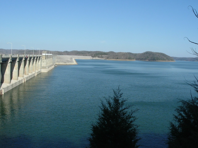
Lake Cumberland
Lake Cumberland covers about 65,532 acres of the Cumberland River in Kentucky. USACE Nashville District manages it.
Reservoir
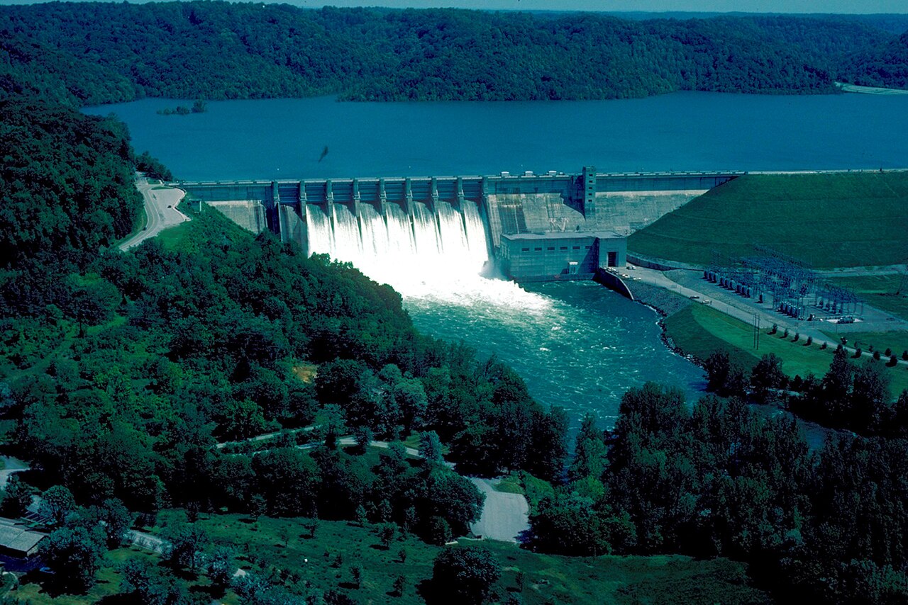
Center Hill Lake
Fed by the catchment =, Center Hill Lake holds roughly 18,220 acres of water in Tennessee. Management is in the hands of USACE.
Reservoir
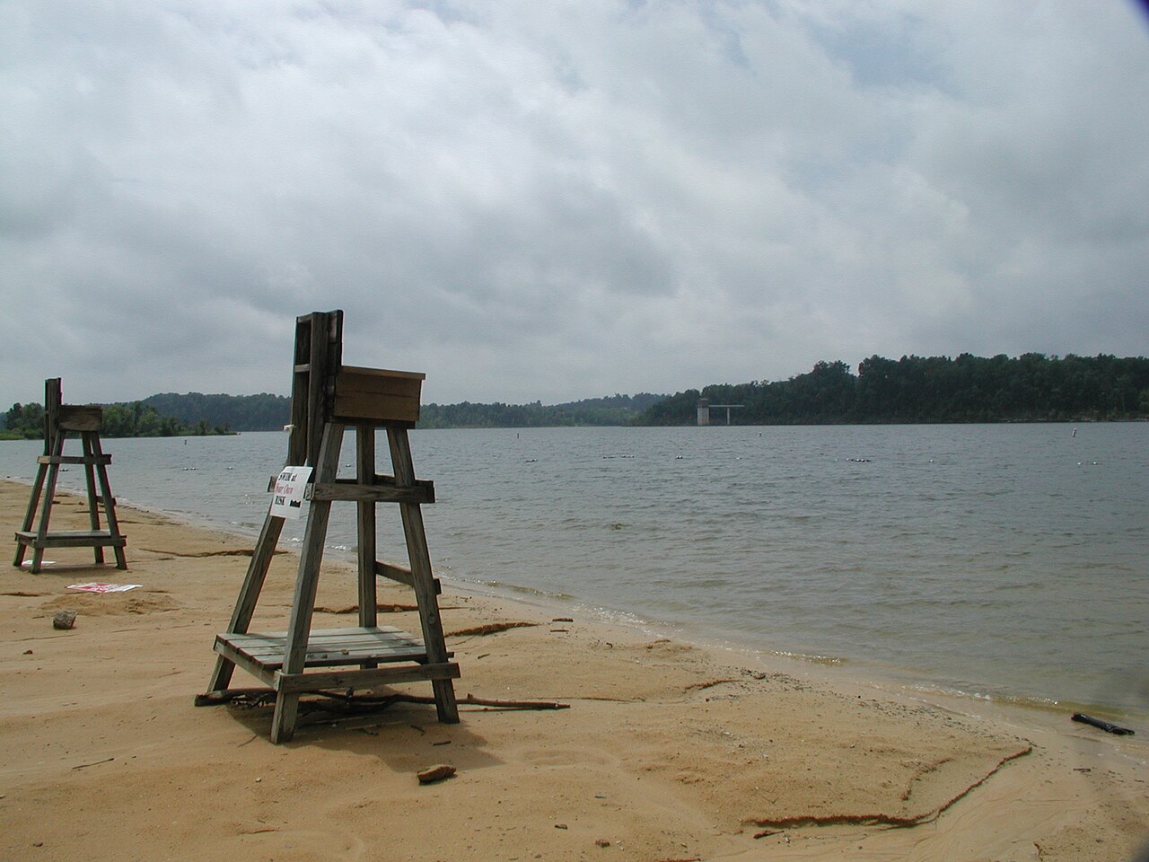
Barren River Lake
Barren River Lake covers about 10,100 acres of the Barren River in Kentucky. The lake is in Allen County. It is managed by USACE…
Reservoir
Green River Lake
Fed by the Green River, Green River Lake holds roughly 8,200 acres of water in Kentucky. Its shoreline falls inside Taylor…
Reservoir
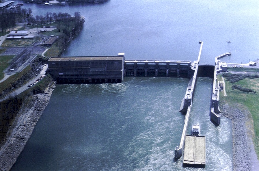
Old Hickory Lake
Fed by the Cumberland River, Old Hickory Lake holds roughly 22,500 acres of water in Tennessee. It lies in Sumner County. It is…
Reservoir
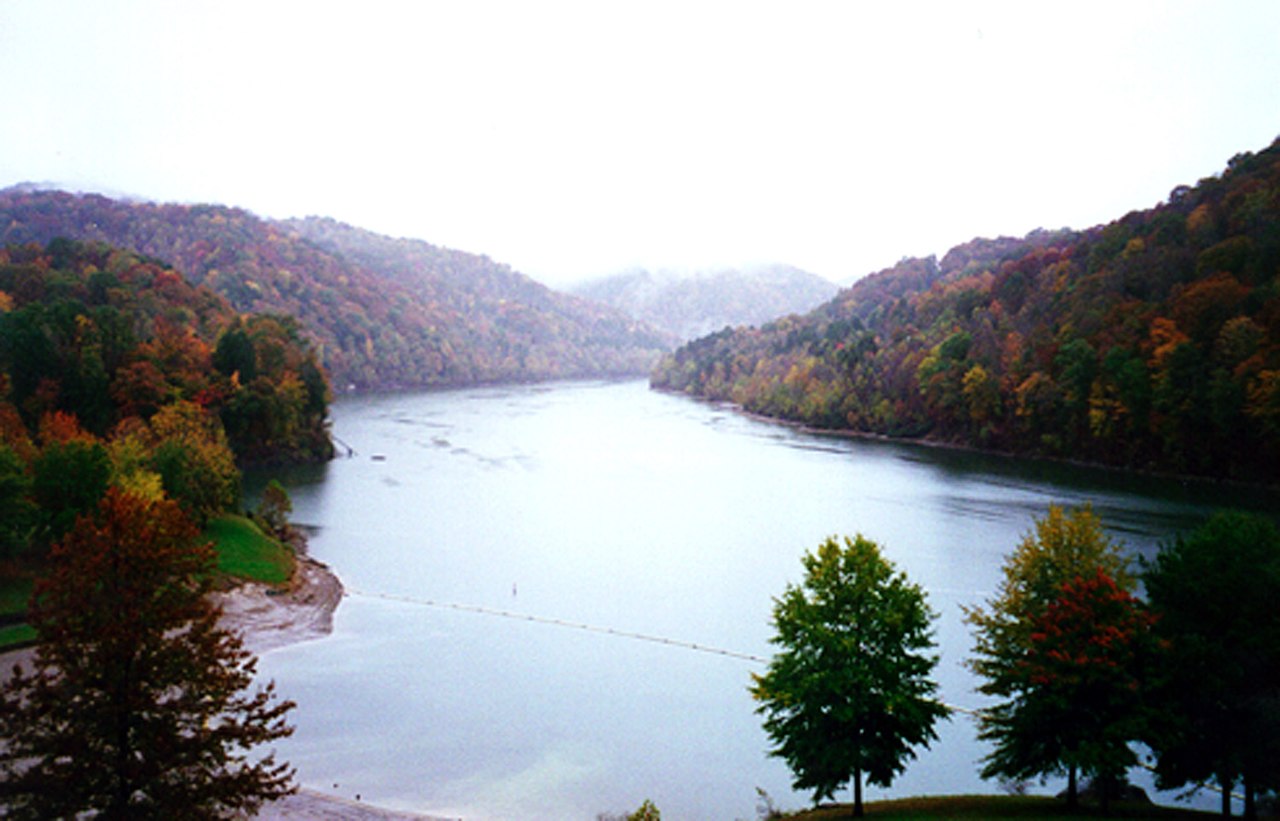
Nolin River Lake
Nolin River Lake covers about 5,795 acres of the Nolin River in Kentucky. USACE Louisville District manages it. The gauge last…
Reservoir
Explore around Tennessee
Sources
Every figure on this page comes from one of these public sources.