
CountiesFairfield County
South CarolinaReservoirFairfield County
Lake Wateree
Fed by the Wateree River, Lake Wateree holds roughly 13,864 acres of water in South Carolina. Its shoreline falls inside Fairfield County. Duke Energy / SC State Parks manages it.
Coordinates34.4111, -80.7922
Surface area13,864 acres
Max depth64 ft
RiverWateree River
Managed byDuke Energy / SC State Parks
Swimming beaches on Lake Wateree
No named swimming beach is mapped yet for this lake. Access is through agency day-use areas and boat ramps listed below. We add beach pages only when we can confirm a name, coordinates and an operating agency.
Lake Wateree on the map
Lake center, swimming spots and access points.
Weather and water temperature
Air temperature and wind from Open-Meteo. Water temperature only when the lake has a public sensor.
Weather data by Open-Meteo
About Lake Wateree
Its coordinates are 34.4111, -80.7922. It lies at roughly 226 feet of elevation. Releases go downstream into the Wateree River. The deepest point on record is about 64 feet.
The federal and state datasets behind this guide list no named beach at Lake Wateree. That does not mean there is no access, only that none is catalogued. County parks and private resorts sometimes provide access that federal datasets never record.
Algae blooms are seasonal and local: look for posted signs at the ramp or park entrance. Season dates vary by park; the operating agency publishes them each spring. No public sensor reports water temperature at Lake Wateree, so the panel shows air temperature and wind.
Water level is missing from this page on purpose: no public feed covers Lake Wateree. We check the public feeds daily, so this page will fill in if one appears.
The closest lakes in this guide are Fishing Creek Reservoir (South Carolina, 15 mi), Parr Shoals Reservoir (South Carolina, 33 mi) and Lake Robinson (South Carolina, 36 mi). In all, 15 lakes in South Carolina are covered here.
Questions about Lake Wateree
Is there a beach at Lake Wateree?
No named swimming beach appears in the federal and state datasets this guide reads. Check the operating agency for day-use areas on the ground.
How big is Lake Wateree?
About 13,864 acres. Maximum depth is around 64 feet.
What other lakes are near Lake Wateree?
The closest in this guide is Fishing Creek Reservoir, about 15 miles away in South Carolina.
Lakes near Lake Wateree
Other lakes in this guide, ordered by distance.
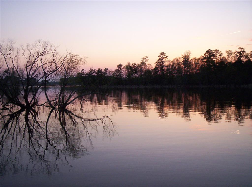
Lake Murray
Lake Murray covers about 50,000 acres west of Columbia, South Carolina, with roughly 650 miles of shoreline. It was impounded in…
Reservoir
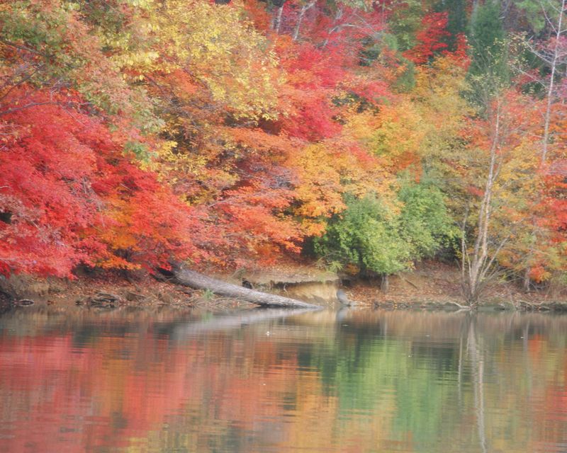
Lake Wylie
Lake Wylie is a 13,344-acre reservoir on the Catawba River in South Carolina. Duke Energy / Lake Wylie Marine Commission manages…
Reservoir
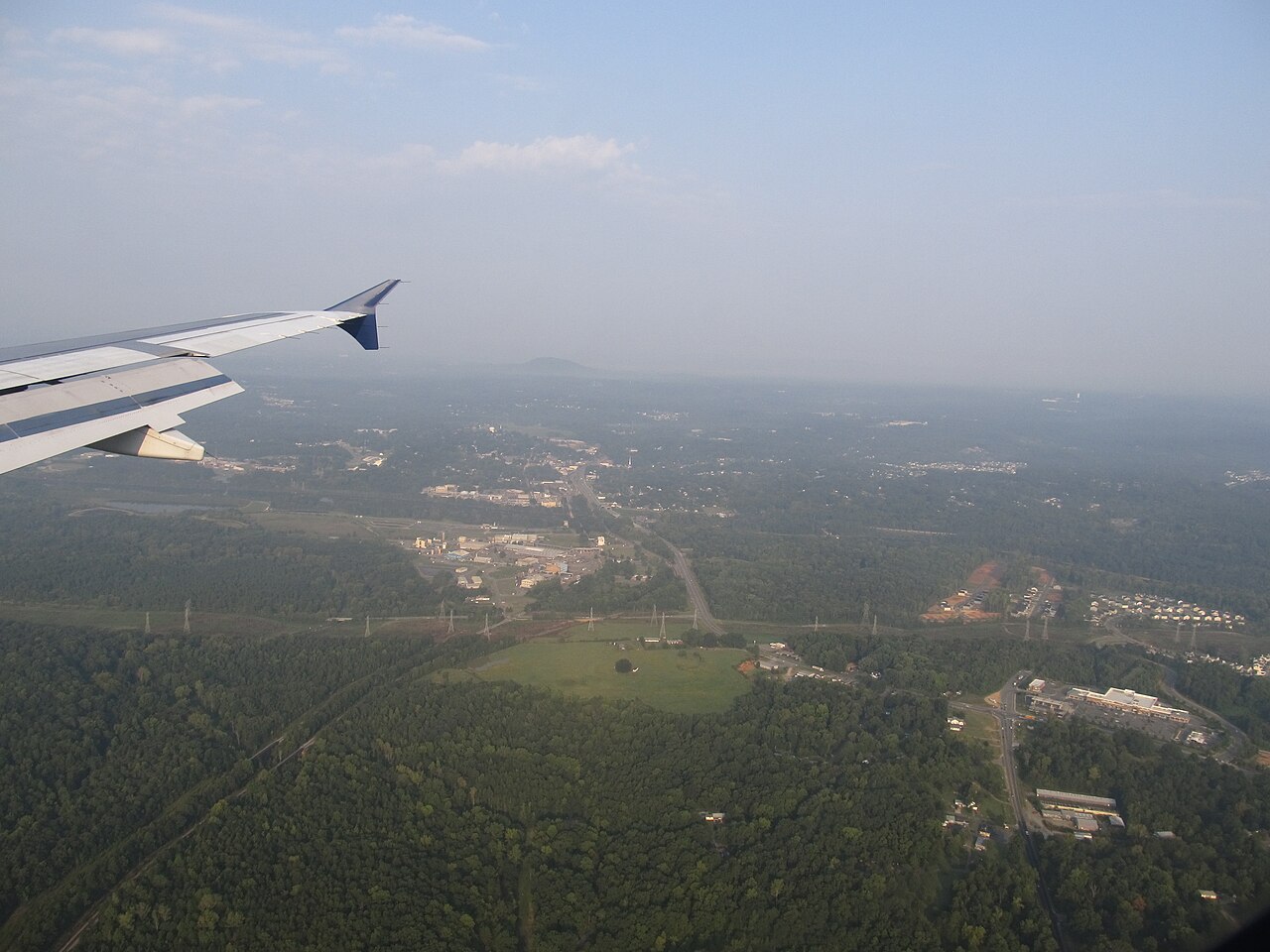
Mountain Island Lake
Mountain Island Lake is a reservoir of some 3,281 acres on the catchment =, in North Carolina. You will find it in Gaston County.…
Reservoir
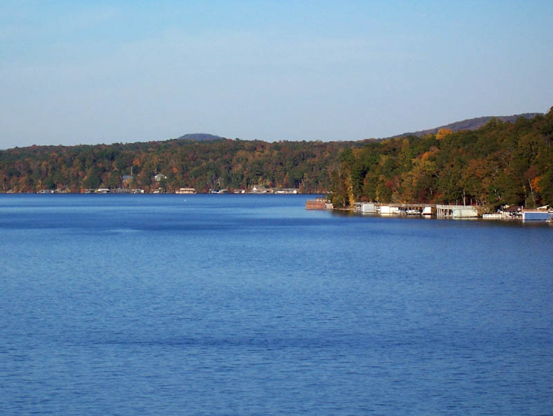
Lake Tillery
Fed by the Pee Dee River, Lake Tillery holds roughly 5,000 acres of water in North Carolina. Its shoreline falls inside…
Reservoir
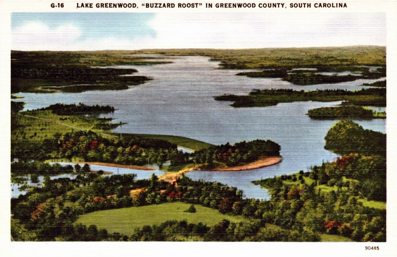
Lake Greenwood
Lake Greenwood is a reservoir of some 11,400 acres on the Saluda River, in South Carolina. You will find it in Laurens County.…
Reservoir
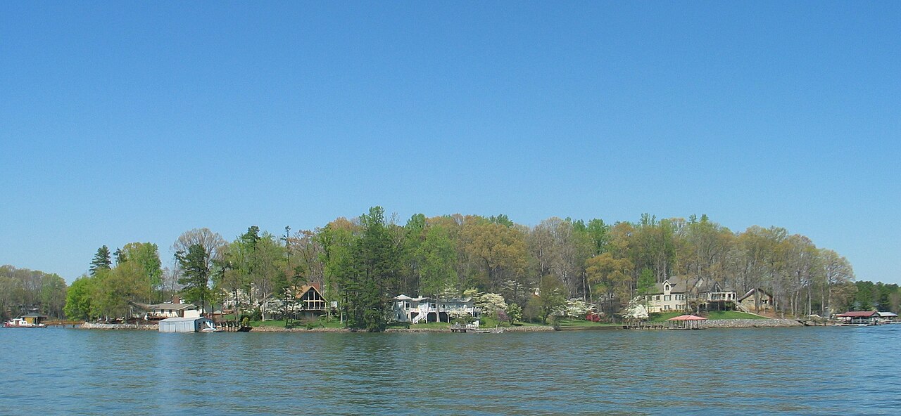
Lake Norman
Lake Norman covers about 32,510 acres of the Catawba River via Cowans Ford Dam in North Carolina. It lies in Iredell County.…
Reservoir
Explore around South Carolina
Sources
Every figure on this page comes from one of these public sources.