
CountiesOconee County
South CarolinaReservoirOconee County
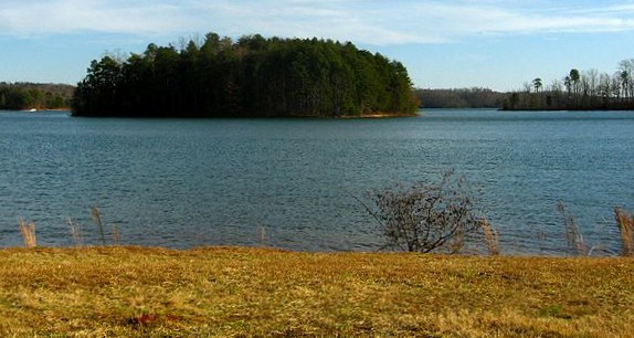
Lake Keowee
Lake Keowee is a 18,500-acre reservoir on the Keowee River in South Carolina. The lake is in Oconee County. Management is in the hands of Duke Energy / SCDNR. This guide maps 1 named swimming spot around its shoreline.
Coordinates34.8000, -82.8867
Surface area18,500 acres
Max depth150 ft
RiverKeowee River
Managed byDuke Energy / SCDNR
Swimming beaches on Lake Keowee
1 named swimming spot and shoreline access points, from USGS GNIS, Recreation.gov and the Forest Service. None is staffed by a lifeguard unless the operating agency posts one.
Lake Keowee on the map
Lake center, swimming spots and access points.
Weather and water temperature
Air temperature and wind from Open-Meteo. Water temperature only when the lake has a public sensor.
Weather data by Open-Meteo
Lake Keowee: beaches, ramps and water level
The center of the lake is at 34.8000, -82.8867. The deepest point on record is about 150 feet. The Keowee River carries the outflow. It lies at roughly 800 feet of elevation.
Nearby water includes Lake Jocassee (South Carolina, 11 mi), Lake Hartwell (South Carolina, 23 mi) and Tugalo Lake (Georgia, 27 mi). South Carolina has 15 lakes on this site in total.
Water temperature is not measured at this lake by any public agency we read. Most South Carolina day-use areas open for the summer season and close outside it. Water quality is monitored unevenly on inland lakes, so posted notices are the most reliable guide.
Lake Keowee has no public water level gauge that we can read, so there is no level chart here. An invented number would be worse than none. Ask the managing agency directly if the level matters for your trip.
Public access at Lake Keowee covers 1 named swimming spot and 2 public recreation areas. They include East Beach. Recreation areas nearby include Holder'S Access and Lawrence Bridge. These come from wikidata. Facilities vary from one access point to the next, so check before you rely on one.
Recreation areas on Lake Keowee
2 public recreation areas mapped around the lake by the U.S. Army Corps of Engineers. Facilities vary by area; check the managing office for opening dates and fees.
Holder'S Access Lawrence Bridge
Source: USACE Recreation Areas
Questions about Lake Keowee
Can you swim in Lake Keowee?
Yes. This guide maps 1 named swimming spot around the lake, including East Beach. None is staffed by a lifeguard unless the operating agency posts one.
How big is Lake Keowee?
About 18,500 acres. Maximum depth is around 150 feet.
What other lakes are near Lake Keowee?
The closest in this guide is Lake Jocassee, about 11 miles away in South Carolina.
Lakes near Lake Keowee
Other lakes in this guide, ordered by distance.
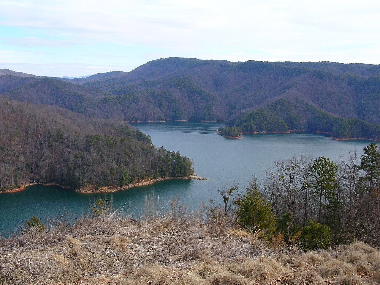
Lake Jocassee
Lake Jocassee is a reservoir of some 7,500 acres on the Keowee River, in South Carolina. It lies in Oconee County. It is managed…
Reservoir
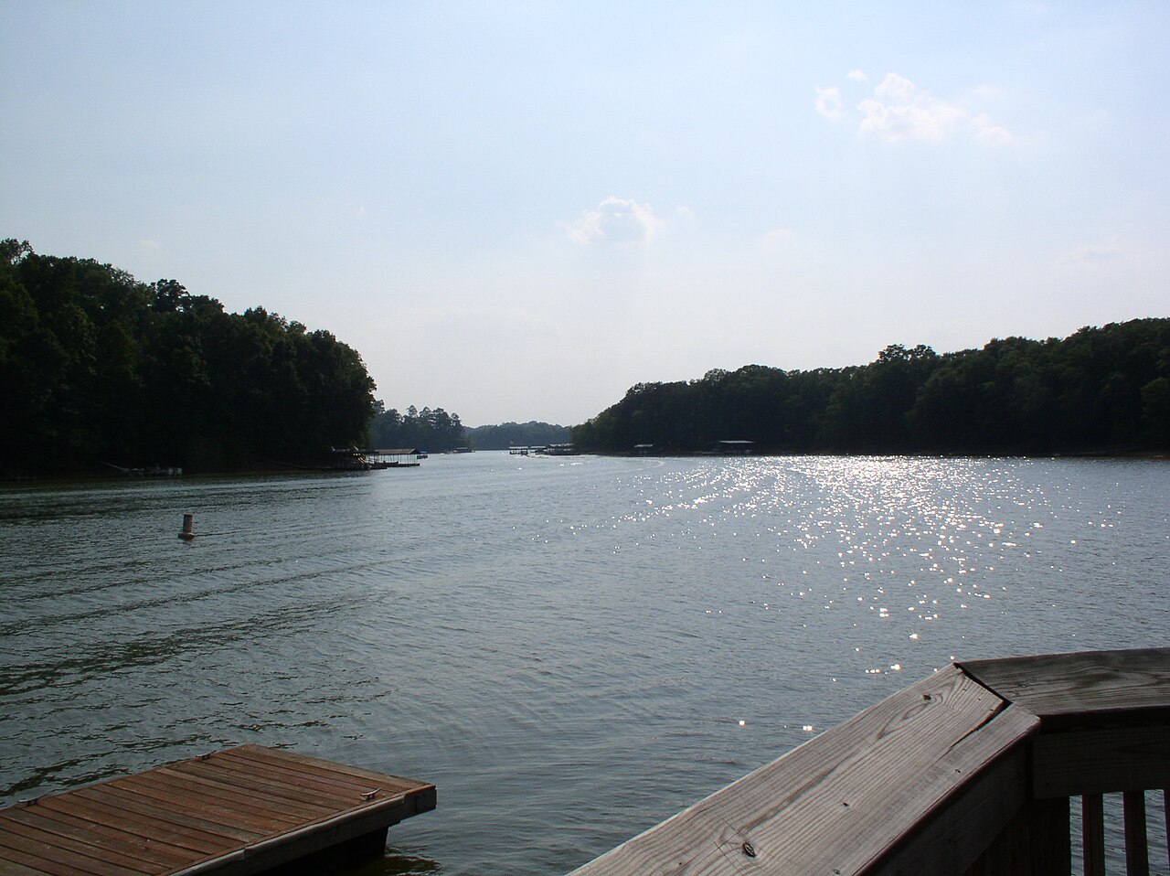
Lake Hartwell
Lake Hartwell is a reservoir of some 56,000 acres on the Savannah River, in South Carolina. It is managed by USACE Savannah…
Reservoir
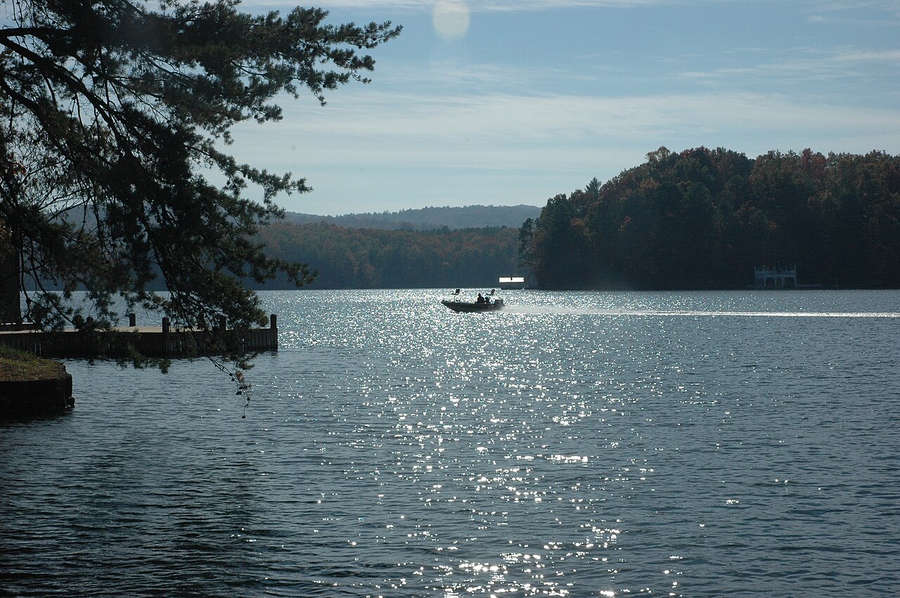
Lake Burton
Lake Burton covers about 2,775 acres of the Tallulah River in Georgia. The lake is in Rabun County. Management is in the hands of…
Reservoir
Lake Russell
Lake Russell covers about 26,650 acres in South Carolina. The lake is in Elbert County. Management is in the hands of USACE…
Reservoir
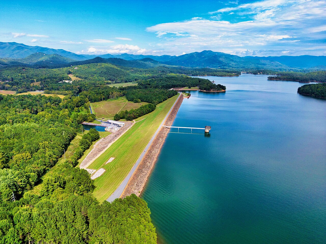
Chatuge Lake
Fed by the outflow =, Chatuge Lake holds roughly 6,919 acres of water in Georgia. You will find it in Clay County. TVA manages it.
Reservoir
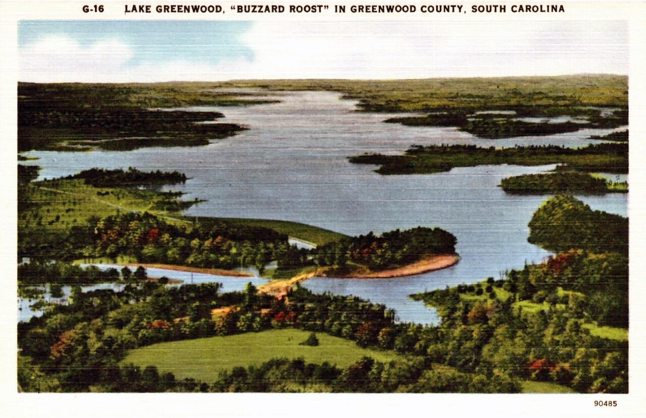
Lake Greenwood
Lake Greenwood is a reservoir of some 11,400 acres on the Saluda River, in South Carolina. You will find it in Laurens County.…
Reservoir
Explore around South Carolina
All lakes in South Carolina Lakes near Clemson Lakes near Anderson
Sources
Every figure on this page comes from one of these public sources.