
CountiesHuntingdon County
PennsylvaniaReservoirHuntingdon County
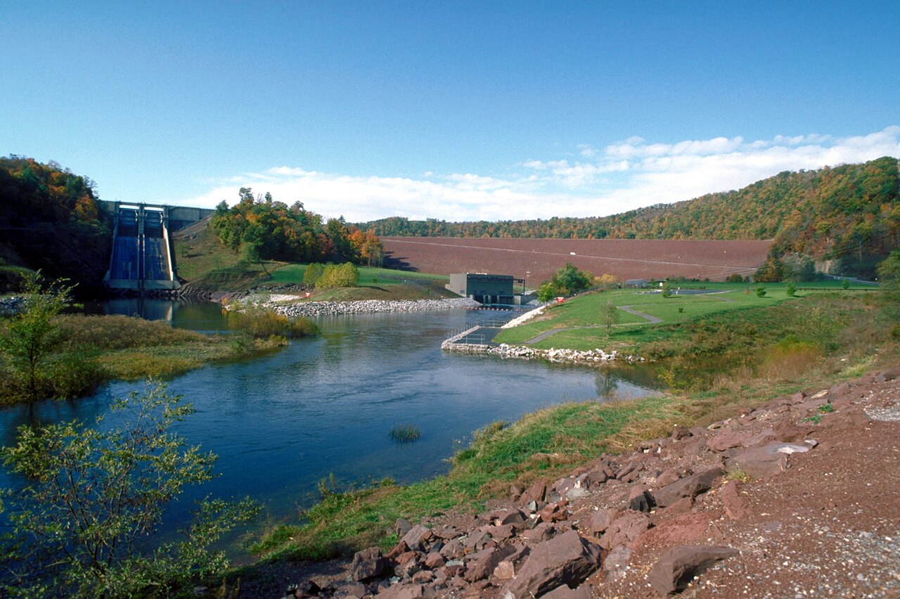
Raystown Lake
Raystown Lake covers about 8,300 acres of the Raystown Branch Juniata River in Pennsylvania. You will find it in Huntingdon County. It is managed by USACE Baltimore District. The latest reading is 786.28 ft, 0.3 ft above the 786.0 ft full pool.
Water level today: 786.28 ft · see the full record
Coordinates40.4336, -78.0067
Surface area8,300 acres
Max depth200 ft
Full pool786.0 ft
RiverRaystown Branch Juniata River
Managed byUSACE Baltimore District
Swimming beaches on Raystown Lake
1 named swimming spot and shoreline access points, from USGS GNIS, Recreation.gov and the Forest Service. None is staffed by a lifeguard unless the operating agency posts one.
Raystown Lake on the map
Lake center, swimming spots and access points.
Weather and water temperature
Air temperature and wind from Open-Meteo. Water temperature only when the lake has a public sensor.
Weather data by Open-Meteo
Water level today
The level comes from gauge 01563100, Raystown Lake near Huntingdon, PA, and carries the time it was taken. The Corps of Engineers puts the top of the flood pool at 812.0 ft. The last value stored here, 786.28 ft, is from 2026-09-09. Full pool is 786.0 ft. Over the record shown on the level page the gauge has moved between 776.54 ft and 786.78 ft (low on 2026-02-18, high on 2026-08-03). The top of the dam sits at 826.0 ft. Water level decides what is usable on the shoreline, from beach width to ramp access.
786.28 ft +0.03 ft in 7 days
Raystown Lake: beaches, ramps and water level
Its coordinates are 40.4336, -78.0067. Releases go downstream into the Raystown Branch Juniata River. It reaches roughly 200 feet at its deepest.
Nearby water includes Struble Lake (Pennsylvania, 25 mi), Glendale Lake (Pennsylvania, 33 mi) and Foster Joseph Sayers Lake (Pennsylvania, 45 mi). In all, 35 lakes in Pennsylvania are covered here.
If the water looks like pea soup or paint, stay out and report it to the managing agency. There is no water temperature sensor here, so only air conditions are shown. Swimming season in Pennsylvania runs through the warm months, and day-use areas set their own opening dates.
The level comes from gauge 01563100, Raystown Lake near Huntingdon, PA, and carries the time it was taken. The Corps of Engineers puts the top of the flood pool at 812.0 ft. The last value stored here, 786.28 ft, is from 2026-09-09. Full pool is 786.0 ft. Over the record shown on the level page the gauge has moved between 776.54 ft and 786.78 ft (low on 2026-02-18, high on 2026-08-03). The top of the dam sits at 826.0 ft. Water level decides what is usable on the shoreline, from beach width to ramp access.
The shoreline of Raystown Lake has 1 named swimming spot and 6 public recreation areas in the datasets we read. These come from Recreation.gov (RIDB). Recreation areas nearby include Corbins Island, Branch Camp and Snyders Run. They include Raystown Lake. None is staffed by a lifeguard unless the managing agency posts one.
Recreation areas on Raystown Lake
6 public recreation areas mapped around the lake by the U.S. Army Corps of Engineers. Facilities vary by area; check the managing office for opening dates and fees.
Corbins Island Branch Camp Snyders Run Susquehannock Baker's Hollow Trail Lot Seven Points
Source: USACE Recreation Areas
Questions about Raystown Lake
Can you swim in Raystown Lake?
Yes. This guide maps 1 named swimming spot around the lake, including Raystown Lake. None is staffed by a lifeguard unless the operating agency posts one.
How big is Raystown Lake?
About 8,300 acres. Maximum depth is around 200 feet.
What other lakes are near Raystown Lake?
The closest in this guide is Struble Lake, about 25 miles away in Pennsylvania.
Lakes near Raystown Lake
Other lakes in this guide, ordered by distance.
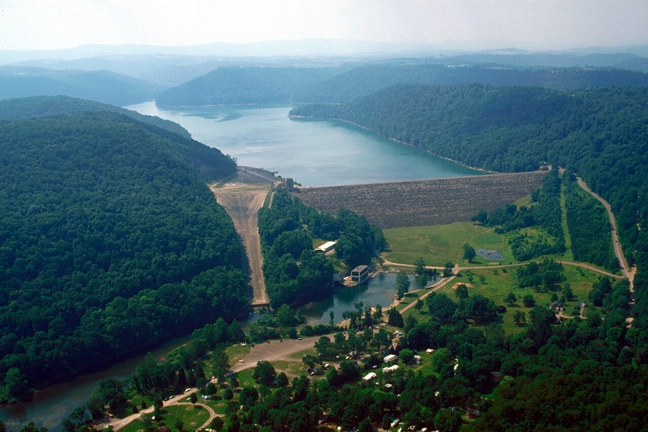
Youghiogheny River Lake
Youghiogheny River Lake is a reservoir of some 2,840 acres on the Youghiogheny River, in Pennsylvania. It lies in Somerset…
Reservoir
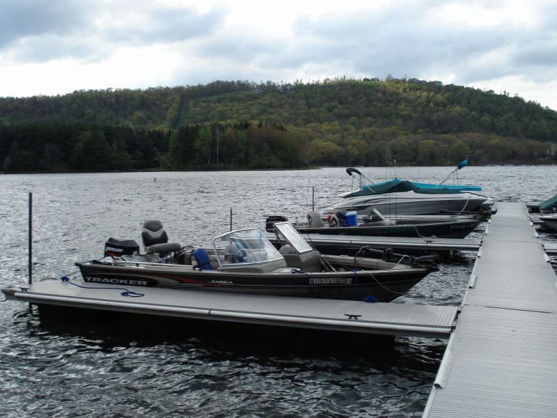
Deep Creek Lake
Deep Creek Lake is a 3,628-acre reservoir on the Deep Creek in Maryland. It lies in Garrett County. Brookfield Renewable /…
Reservoir
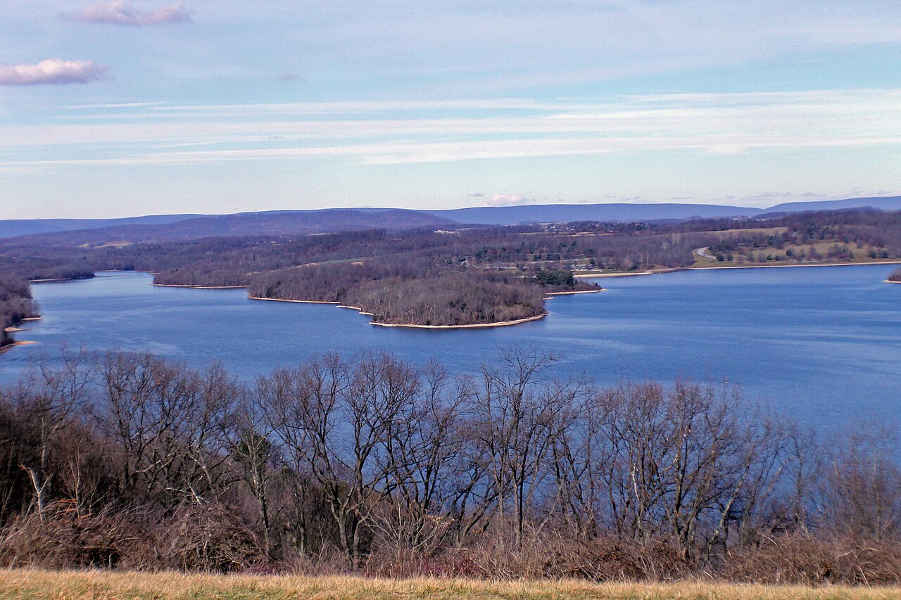
Blue Marsh Lake
Blue Marsh Lake is a reservoir of some 1,150 acres on the Tulpehocken Creek, in Pennsylvania. Its shoreline falls inside Berks…
Reservoir
Lake Arthur
Lake Arthur covers about 3,075 acres in Pennsylvania. The lake is in Butler County. PA DCNR (Moraine State Park) manages it. The…
Reservoir2 beaches
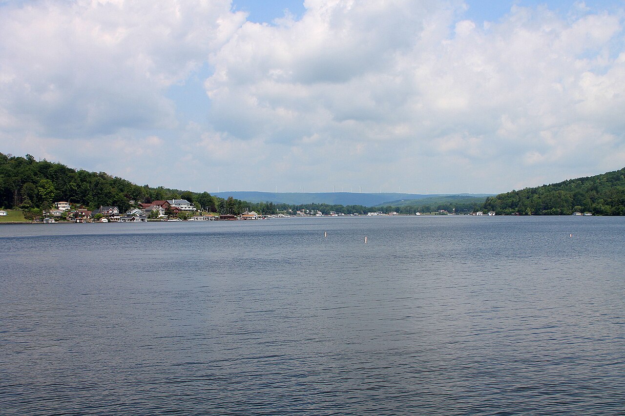
Harveys Lake
Fed by the Harveys Creek, Harveys Lake holds roughly 622 acres of water in Pennsylvania. It lies in Luzerne County. PA Fish &…
Reservoir
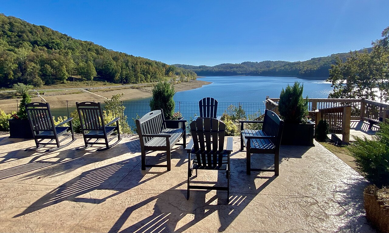
Tygart Lake
Tygart Lake is a 1,750-acre reservoir in West Virginia. It lies in Taylor County. Management is in the hands of WV State Parks /…
Reservoir
Explore around Pennsylvania
Sources
Every figure on this page comes from one of these public sources.